The best road cycling routes in Cohutta Wilderness
30
riders
4
rides
Road cycling routes in Cohutta Wilderness primarily utilize the extensive network of Forest Service roads surrounding the federally designated wilderness area. This region is characterized by rugged mountainous terrain, dense forests, and significant elevation changes, with peaks rising to 4,200 feet. Cyclists encounter a challenging mix of gravel and dirt surfaces, providing a demanding experience through a largely untouched natural environment.
Best road cycling routes in Cohutta Wilderness
- The most popular road cycling route is Roadbike loop from Colwell Church…
Last updated: July 12, 2026
7
riders
43.2km
02:18
530m
530m
Moderate road ride. Good fitness required. Mostly well-paved surfaces and easy to ride.
9
riders
38.3km
02:24
720m
730m
If you're searching for Willis Springs road cycling routes that offer a good workout, this loop is a moderate 23.8-mile (38.3 km) ride with 2368 feet (722 metres) of elevation…

Sign up for free
3
riders
26.5km
01:24
320m
320m
Moderate road ride. Good fitness required. Mostly well-paved surfaces and easy to ride.
11
riders
40.3km
02:31
740m
740m
Moderate road ride. Good fitness required. Mostly well-paved surfaces and easy to ride.
Our route recommendations are based on thousands of hikes, rides, and runs completed by other people on komoot.
Start today with a free account
Your next adventure awaits.
Login or Signup

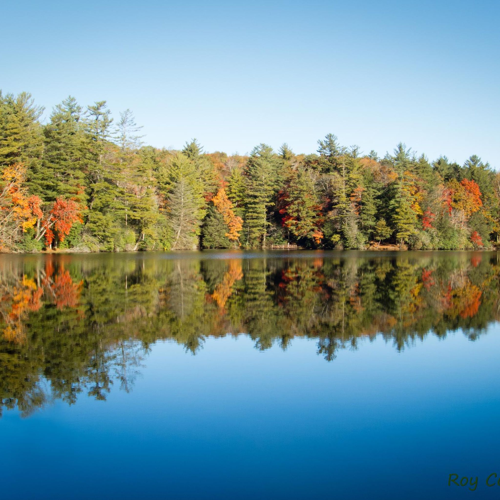
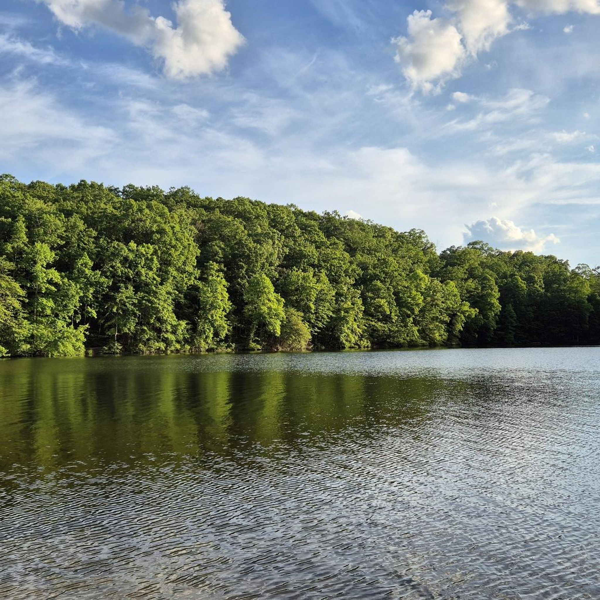

Other adventures in Cohutta Wilderness

Tips from the Community

View of the bridges over the Toccoa River crossing the Georgia-Tennessee border.
1
0
Frequently Asked Questions
How many road cycling routes are available in the Cohutta Wilderness area?
There are 5 road cycling routes available in the Cohutta Wilderness area, ranging from easy to moderate difficulty. These routes primarily utilize the extensive network of Forest Service roads surrounding the federally designated wilderness.
What kind of terrain can I expect when road cycling around Cohutta Wilderness?
Cyclists should anticipate a challenging mix of gravel and dirt surfaces, with only a small percentage of paved roads on some of the longer loops. The terrain is rugged and mountainous, featuring significant elevation changes, sustained climbs, and descents.
Are there any easy road cycling routes suitable for beginners in Cohutta Wilderness?
Yes, there are a couple of easier options. For instance, the Roadbike loop from Dunn is an easy route covering 13.7 miles (22.1 km) with moderate elevation gain, making it a good starting point for those new to the area's gravel roads.
What are the most challenging aspects of road cycling in the Cohutta Wilderness region?
The region is known for its demanding rides, characterized by significant elevation gains, sustained 10% climbs, and rocky sections. Due to the remoteness and lack of services, self-sufficiency is crucial, requiring cyclists to carry adequate water, food, and be prepared for potential wildlife encounters.
Can I find paved road cycling routes near Cohutta Wilderness?
While the primary cycling experience around Cohutta Wilderness is on gravel and dirt Forest Service roads, some longer routes may incorporate a small percentage of paved sections. However, dedicated paved road cycling routes are not the main characteristic of this area.
What scenic points or landmarks can I see along the road cycling routes?
The routes offer a unique way to experience the Cohutta's natural beauty, with opportunities to see rushing creeks, wildflowers, and panoramic vistas. While bicycles are prohibited within the wilderness itself, the surrounding roads provide views of the lush forests, mountainous terrain, and access to areas like Fort Mountain State Park and the Ocoee Whitewater Center on some longer bikepacking routes.
Is Cohutta Wilderness suitable for family-friendly road cycling?
Given the challenging terrain, significant elevation changes, and prevalence of gravel and dirt surfaces, most road cycling routes around Cohutta Wilderness are not typically considered family-friendly for younger children or those seeking very easy, flat rides. The routes are better suited for experienced cyclists.
What is the best time of year for road cycling in Cohutta Wilderness?
Spring and fall generally offer the most pleasant conditions for cycling, with milder temperatures and vibrant foliage. Spring brings blooming wildflowers, while fall showcases stunning autumn colors. Summer can be hot and humid, and winter may present colder temperatures and potential for icy conditions on higher elevations.
Are there any loop trails for road cycling in the Cohutta Wilderness area?
Yes, many of the routes are designed as loops, allowing you to start and end at the same point. Examples include the Roadbike loop from Colwell Church and the Roadbike loop from Willis Springs, which offer circular journeys through the region's varied terrain.
Where can I park to access road cycling routes in Cohutta Wilderness?
Access points for routes often start near local churches or designated Forest Service road entrances. For example, routes like the Roadbike loop from Colwell Church and Epworth loop from Colwell Church indicate starting points with potential parking availability.
What do other road cyclists enjoy most about road cycling in Cohutta Wilderness?
Cyclists often praise the remote and untamed natural environment, the challenging gravel roads, and the sense of adventure. The region provides a demanding workout amidst dense forests and mountainous landscapes, offering a unique experience for those seeking strenuous and scenic rides through a largely untouched area.
Most popular routes in Cohutta Wilderness

Get inspired with the komoot mobile app


Explore more
Browse the best Road cycling routes in other regions.
