The best road cycling routes around Suncrest
4.5
(19)
158
riders
6
rides
Road cycling around Suncrest is characterized by its elevated setting atop Traverse Ridge, offering expansive views of the Wasatch Mountains and the Salt Lake Valley. The area features significant elevation changes, with routes often involving challenging climbs. Extensive open spaces and preserved natural areas contribute to the scenic and varied terrain available for road cyclists.
Best road cycling routes around Suncrest
- The most popular road cycling route is Bowl and Pitcher Overlook – Deep Creek Bridge loop from Carlson Trailhead…
Last updated: October 15, 2026
3.5
(12)
107
riders
Moderate road ride. Good fitness required. Some segments of this route may be unpaved and difficult to ride.
14
riders
39.7km
01:47
400m
400m
Moderate road ride. Good fitness required. Mostly well-paved surfaces and easy to ride.

5.0
(2)
12
riders
19.7km
00:56
180m
180m
Moderate road ride. Great for any fitness level. Some segments of this route may be unpaved and difficult to ride.
4.3
(3)
9
riders
16.5km
00:43
150m
150m
Easy road ride. Great for any fitness level. Mostly well-paved surfaces and easy to ride.
5.0
(2)
7
riders
Moderate road ride. Good fitness required. Some segments of this route may be unpaved and difficult to ride.
Our route recommendations are based on thousands of hikes, rides, and runs completed by other people on komoot.
Start today with a free account
Your next adventure awaits.
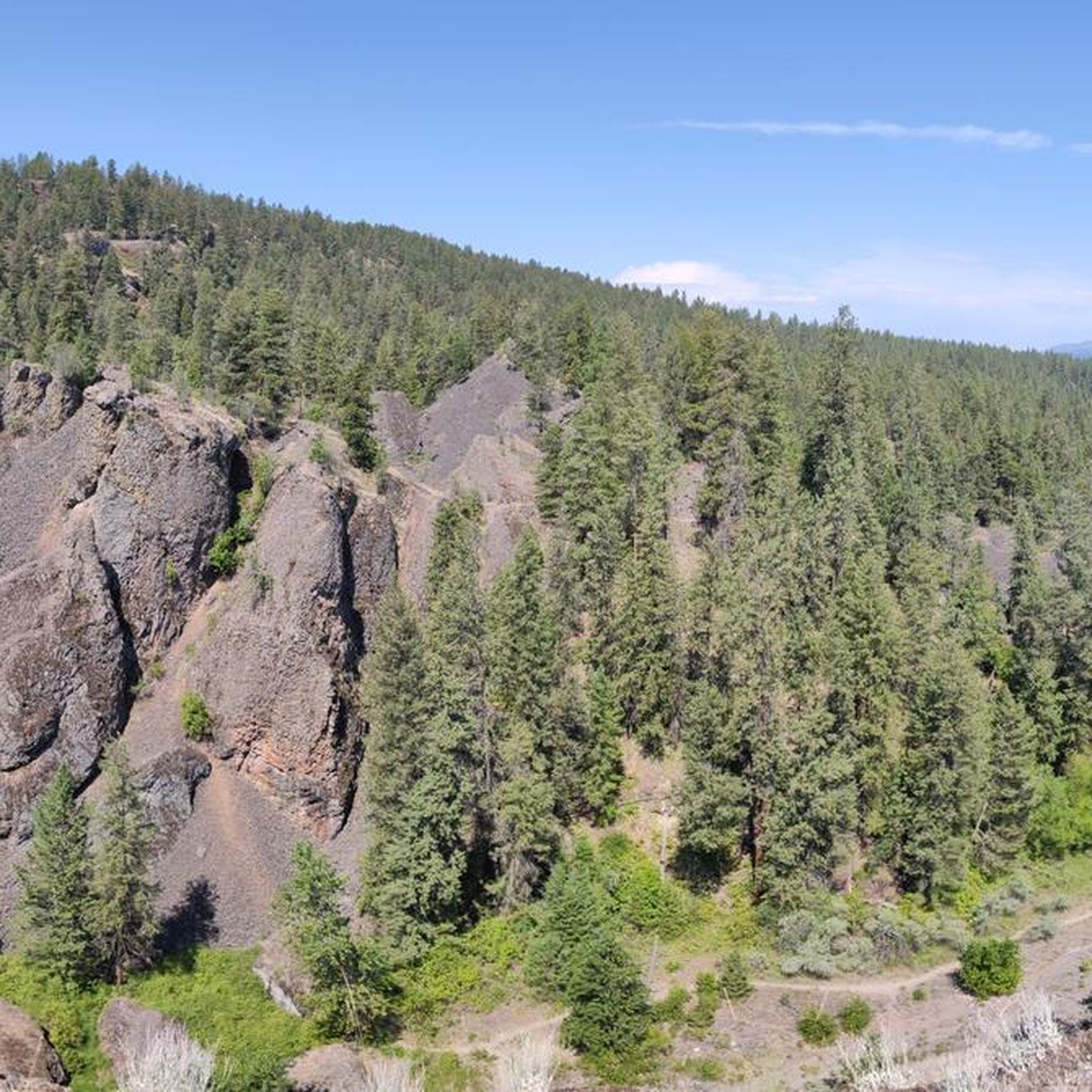
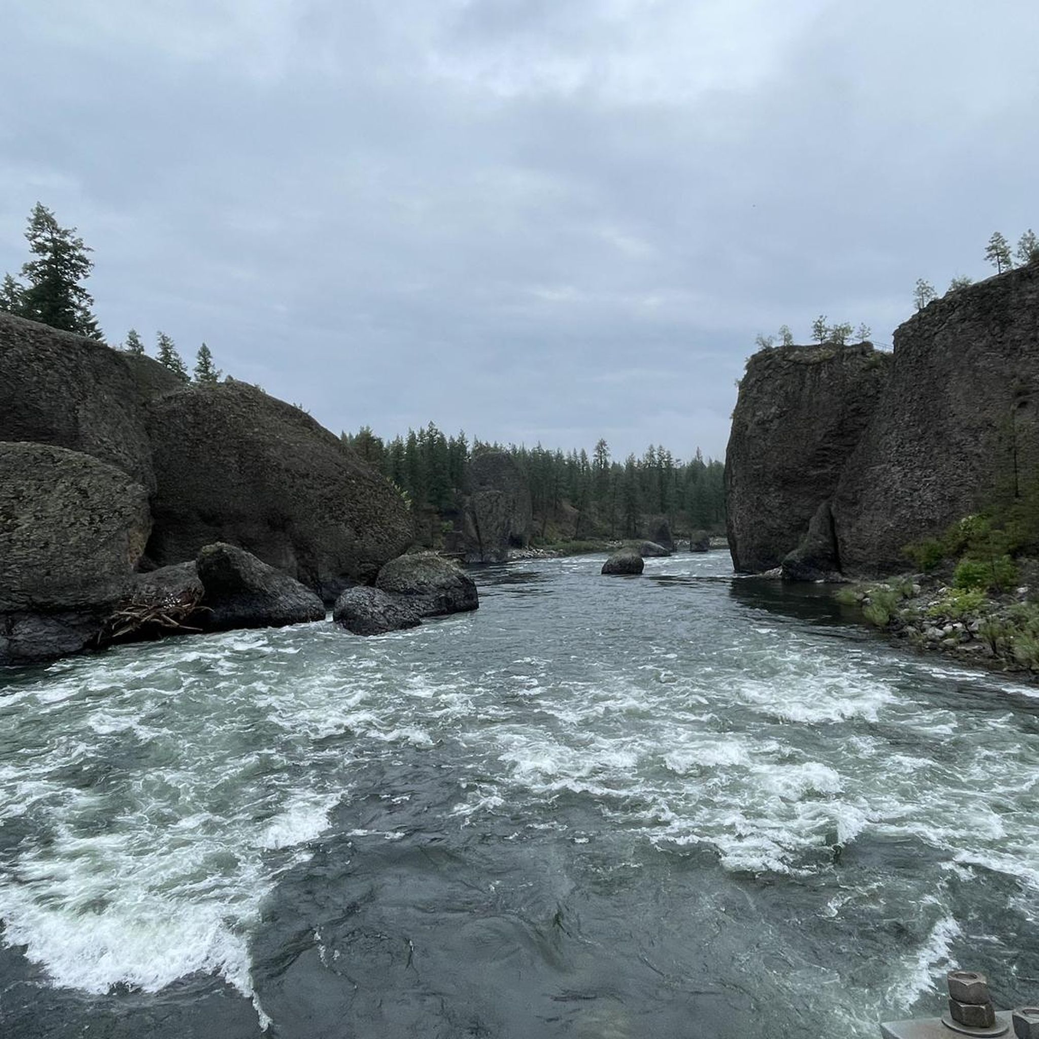
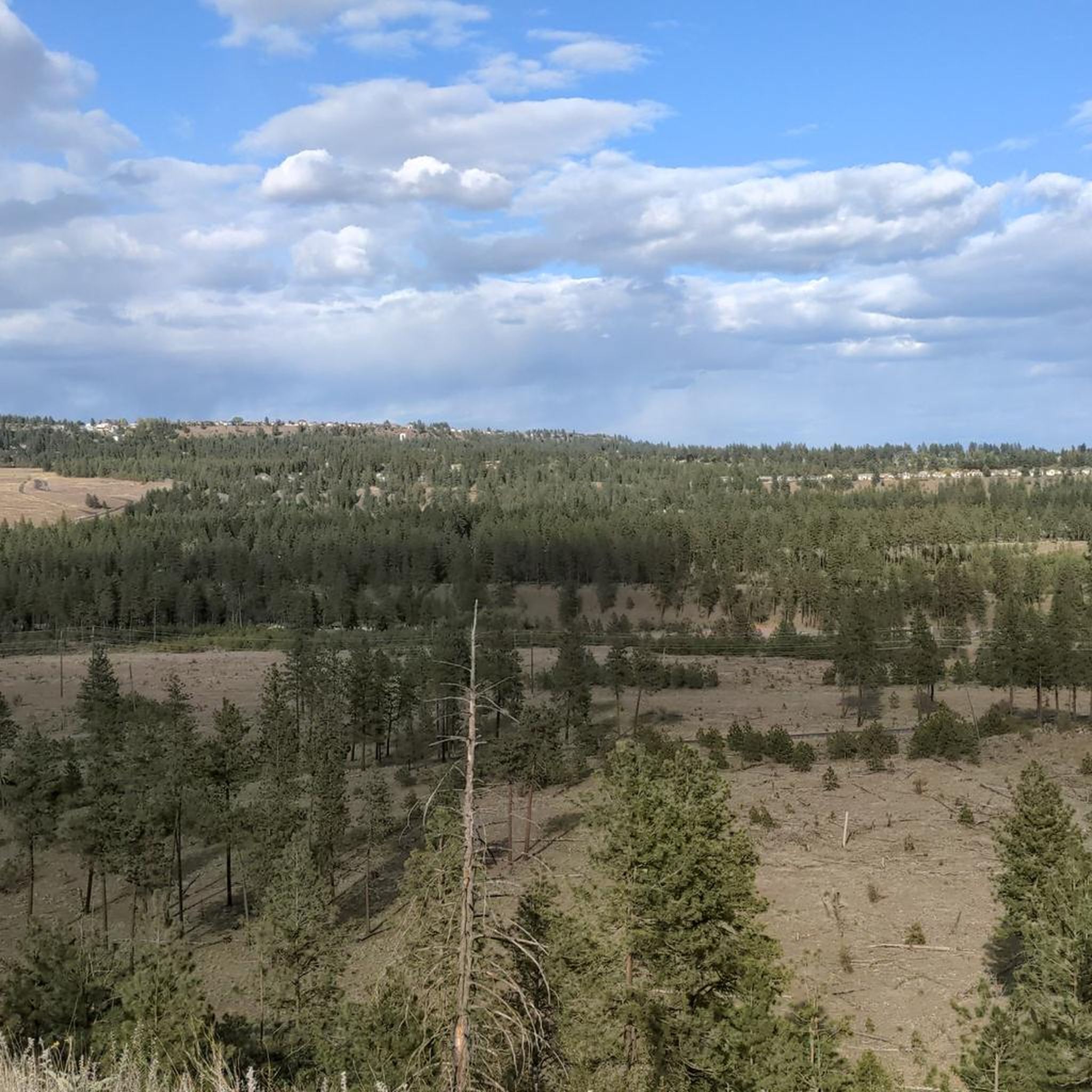
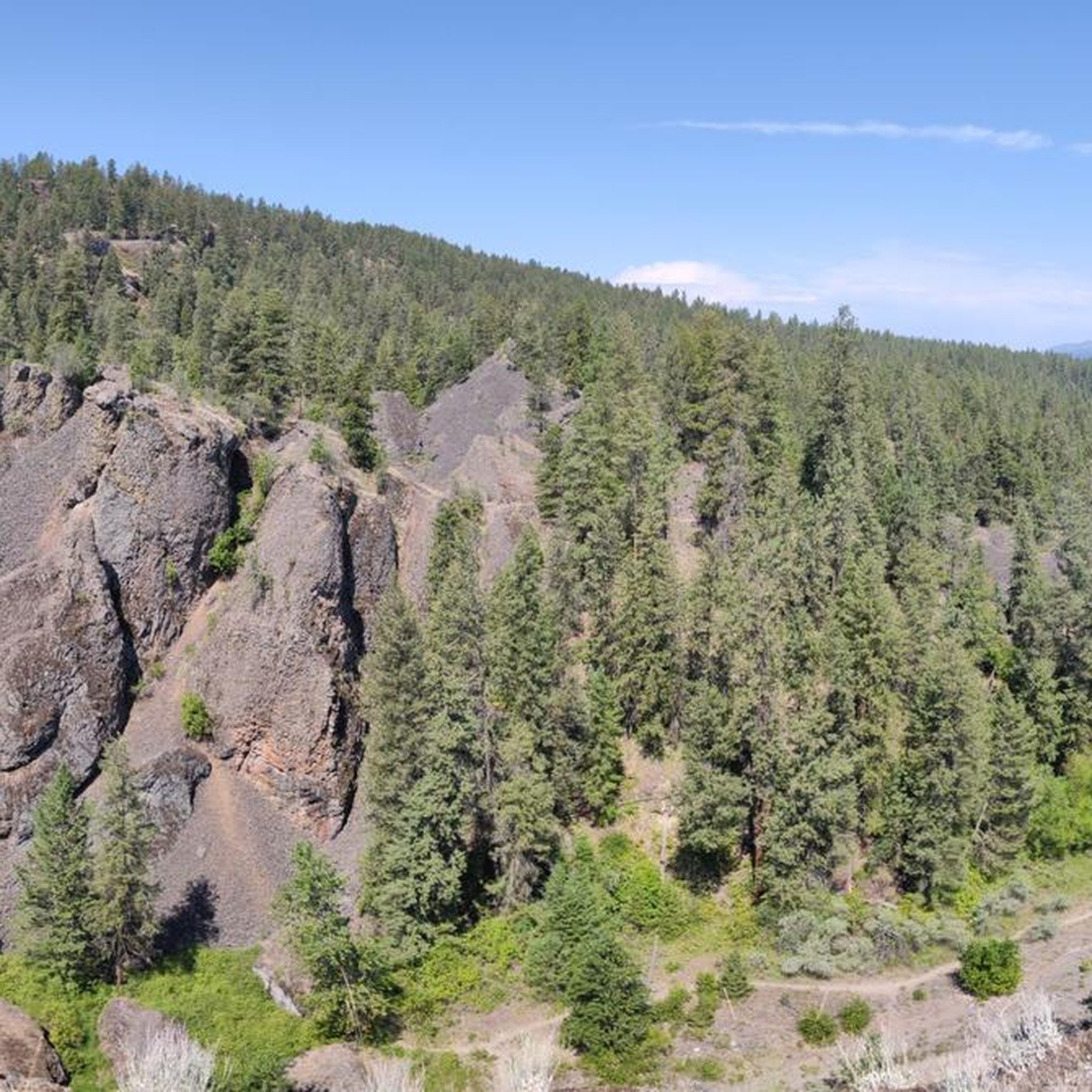
Tips from the Community

This lookout gives you great views of the river. If you continue along the Centennial Trail a couple hundred more feet to the Boone and Summit Blvd intersection will be at the Invisible Bridge. You won't notice that Summit is on a bridge, unless you notice the odd concrete bridge railing. Feel free to peak over the railing and notice that you are 20-30 feet above the ground.
0
0
The Morin Trailhead offer great views of the Bowl and Pitcher. There are plenty of trail that start from here. As well as the Centennial Trail.
0
0
Located at the end of the Centennial Trail. I like to use this point to take a few minutes to enjoy the views and have a snack, before riding back to Spokane.
0
0
Stop a minute and check out the view where the creek flows into the river before continuing on and up the hill.
0
0
You get great photos if you walk onto the 9 Mile Bridge. Also while you are there check out the old employee cabins. There is a plaque and a short self guided tour.
0
0

Deep Creek Bridge is a small pedestrian bridge over Deep Creek along the Spokane River Centennial Trail. From here you get nice views over the water and might see birds and other animals.
0
0
The Nine Mile Recreation Area is located within Riverside State Park near Nine Mile Falls, Washington. Situated at the eastern end of Lake Spokane, it offers two docks, a boat launch for motorized and non-motorized watercraft (seasonally open April 1 to October 31), and a designated swimming area. There are also picnic tables, covered areas, public restrooms, and camping facilities. Nearby, the Pine Bluff Loop trail provides a 5.6-mile moderately difficult hike with stunning Spokane River views. A Discover Pass or day pass is required for vehicle access.
0
0

This is a nice, paved bridge that runs over the point where Deep Creek and the Spokane River meet and continues the Centennial Trail.
0
0
Frequently Asked Questions
What kind of terrain can I expect on road cycling routes around Suncrest?
Road cycling around Suncrest is characterized by its elevated setting atop Traverse Ridge, offering expansive views of the Wasatch Mountains and the Salt Lake Valley. You can expect significant elevation changes and challenging climbs, with routes often featuring steep gradients. The area also boasts extensive open spaces and preserved natural areas, contributing to varied and scenic terrain.
Are there road cycling routes suitable for beginners in Suncrest?
Yes, while many routes feature significant climbs, there are options for varying ability levels. For a more accessible ride, consider the Bowl and Pitcher Overlook loop from Plese Flats, which is rated as easy and covers 16.5 km with 151 meters of elevation gain.
What are some of the more challenging road cycling routes in Suncrest?
Suncrest is known for its challenging climbs. Routes like the Riverfront Park – Deep Creek Bridge loop from Little Spokane Natural Area offer a substantial challenge, covering 67.3 km with over 650 meters of elevation gain. The region's elevated position means many routes involve significant ascents, with some sections reaching gradients of up to 15%.
What do other cyclists say about road cycling in Suncrest?
The road cycling routes around Suncrest are highly rated by the komoot community, with an average score of 3.2 stars from over 9 reviews. Cyclists often praise the stunning mountain and valley views, the challenging climbs, and the extensive network of trails that provide a rewarding experience.
Are there any scenic viewpoints or attractions along the road cycling routes?
Yes, Suncrest offers breathtaking panoramic views of the Wasatch Mountains and the Salt Lake Valley due to its elevated position. Along some routes, you might pass by points of interest such as the Deep Creek Bridge or the 9 Mile Recreation Area. The Spokane River Centennial Trail — Seven Mile section also offers scenic stretches.
What is the best season for road biking in Suncrest?
The best season for road biking in Suncrest is typically from spring through fall, when the weather is mild and the roads are clear of snow. The elevated terrain means you'll often experience cleaner air, as Suncrest is frequently above the inversion layer that can affect air quality in the valley during colder months.
Are there any loop road cycling routes available in Suncrest?
Yes, many of the road cycling routes in Suncrest are designed as loops, allowing you to start and finish at the same point. Examples include the Bowl and Pitcher Overlook – Deep Creek Bridge loop from Carlson Trailhead and the Bowl and Pitcher Overlook – Bowl and Pitcher Overlook loop from Riverside State Park.
How long are the road cycling routes around Suncrest?
The road cycling routes around Suncrest vary in length to suit different preferences and fitness levels. You can find shorter loops, such as the Bowl and Pitcher Overlook loop from Plese Flats at 16.5 km, to longer and more demanding rides like the Riverfront Park – Deep Creek Bridge loop from Little Spokane Natural Area, which spans 67.3 km.
Are there any family-friendly paved bike trails near Suncrest?
While Suncrest is known for its challenging road cycling, the broader area offers extensive trail systems. For family-friendly paved options, you might explore sections of the Spokane River Centennial Trail, which provides a more gentle riding experience away from the steep climbs of Suncrest proper.
What is the elevation of Suncrest and how does it impact cycling?
Suncrest is situated at an impressive elevation of approximately 6,084 feet, about 1,800 feet higher than Salt Lake City. This elevated position means road cycling routes often involve significant climbing, providing challenging workouts and rewarding panoramic views. It also contributes to cleaner air, as it's often above the valley's inversion layer.
Are there options for less crowded road bike routes in Suncrest?
Suncrest's extensive network of trails and roads, combined with Draper City's preservation of over 3,400 acres of open space, means there are numerous options. While some routes are popular, exploring different starting points or less-traveled loops can help you find quieter stretches, especially during off-peak hours.
Can I find cafes or restaurants along Suncrest road cycling routes?
While the immediate road cycling routes in the elevated Suncrest area are primarily focused on natural scenery and challenging terrain, the community of Suncrest itself offers amenities. For cafes or restaurants, you would typically find them closer to the residential and commercial areas within Suncrest or in the nearby valley communities.
Most popular routes around Suncrest
Most popular attractions around Suncrest

Get inspired with the komoot mobile app


