
The best running trails around Mountain Dale
17
runners
3
runs
Jogging routes around Mountain Dale, New York, are primarily characterized by the O&W Rails to Trails, offering a cinder-paved surface suitable for running. The region features a mix of natural landscapes, including lakes, small waterfalls, and areas with gorges. While the immediate vicinity focuses on the rail trail, the broader Sullivan County area provides varied terrain for outdoor activities.
Best jogging routes around Mountain Dale
- The most popular jogging route is Wolf Lake – Wolf Lake Inc loop from Rock…
Last updated: June 26, 2026
9
runners
21.7km
02:17
200m
200m
Hard run. Very good fitness required. Mostly paved surfaces. Suitable for all skill levels.
5
runners
10.8km
01:10
130m
130m
Moderate run. Good fitness required. Mostly paved surfaces. Suitable for all skill levels.

Sign up for free
2
runners
9.69km
01:01
100m
100m
Moderate run. Good fitness required. Mostly paved surfaces. Suitable for all skill levels.
1
runners
12.5km
01:18
100m
100m
Moderate run. Good fitness required. Mostly paved surfaces. Suitable for all skill levels.
Our route recommendations are based on thousands of hikes, rides, and runs completed by other people on komoot.
Start today with a free account
Your next adventure awaits.
Login or Signup
Popular around Mountain Dale
Frequently Asked Questions
How many running routes are available in Mountain Dale?
Komoot currently features over 3 dedicated running routes around Mountain Dale, offering a variety of experiences for joggers. These routes range from moderate to difficult, catering to different fitness levels.
What kind of terrain can I expect on jogging paths in Mountain Dale?
The primary jogging terrain in Mountain Dale is the O&W Rails to Trails, which features a cinder-paved surface, ideal for running. Beyond the rail trail, you can expect varied terrain including lake loops and areas with moderate hills, especially on routes like the Ulster Heights Lake loop.
Are there any easy running routes suitable for beginners in Mountain Dale?
While the guide highlights moderate to difficult routes, the O&W Rail Trail itself, with its cinder-ppaved, relatively flat surface, offers a good option for beginners or those looking for an easier run. The 2.6-mile segment connecting Mountain Dale with Woodridge is particularly accessible.
Can I find routes with scenic views or natural landmarks?
Yes, several routes offer scenic views and natural landmarks. The O&W Rail Trail, for instance, passes a small waterfall and a large lake. The broader Sullivan County area, where Mountain Dale is located, is known for its natural beauty, including waterfalls, dams, and gorges in areas like the Neversink River Unique Area.
Are the running trails in Mountain Dale suitable for families?
The O&W Rail Trail, with its generally flat and cinder-paved surface, is often suitable for families, especially for a leisurely jog or walk. For more challenging family outings, consider routes with moderate difficulty, keeping in mind the distance and elevation gain.
Are dogs allowed on the jogging paths in Mountain Dale?
Generally, dogs are welcome on many outdoor trails in the Mountain Dale area, including the O&W Rail Trail. However, it's always recommended to keep them on a leash and to check specific regulations for any particular park or private land you might encounter.
Where can I park when visiting the running trails?
The trailhead for the O&W Rails to Trails in Mountain Dale is conveniently located next to the hamlet's basketball courts and the Train Station-turned-Visitor Center. This area typically offers parking for trail users.
Are there any loop running trails in the Mountain Dale area?
Yes, there are several excellent loop running trails. For example, the Ulster Heights Lake loop from Ulster Heights Lake Dam is a popular 6.0-mile (9.7 km) route that takes you around the lake. Another option is the Wolf Lake – Wolf Lake Inc loop from Rock Hill, which is a longer, more difficult 11.4-mile (18.4 km) option.
What is the longest running route I can find in this guide?
The longest running route featured in this guide is the Wolf Lake – Wolf Lake Inc loop from Rock Hill, spanning 11.4 miles (18.4 km). This is a difficult route with notable elevation gain, offering a significant challenge for experienced runners.
What do other runners enjoy the most about jogging in Mountain Dale?
Runners often appreciate the blend of natural beauty and accessible trails. The cinder-paved O&W Rail Trail is frequently praised for its smooth surface, while routes like the Running loop from The Alder at Resorts World Catskills are enjoyed for their varied terrain and moderate challenge.
Are there any amenities or places to relax near the running trails?
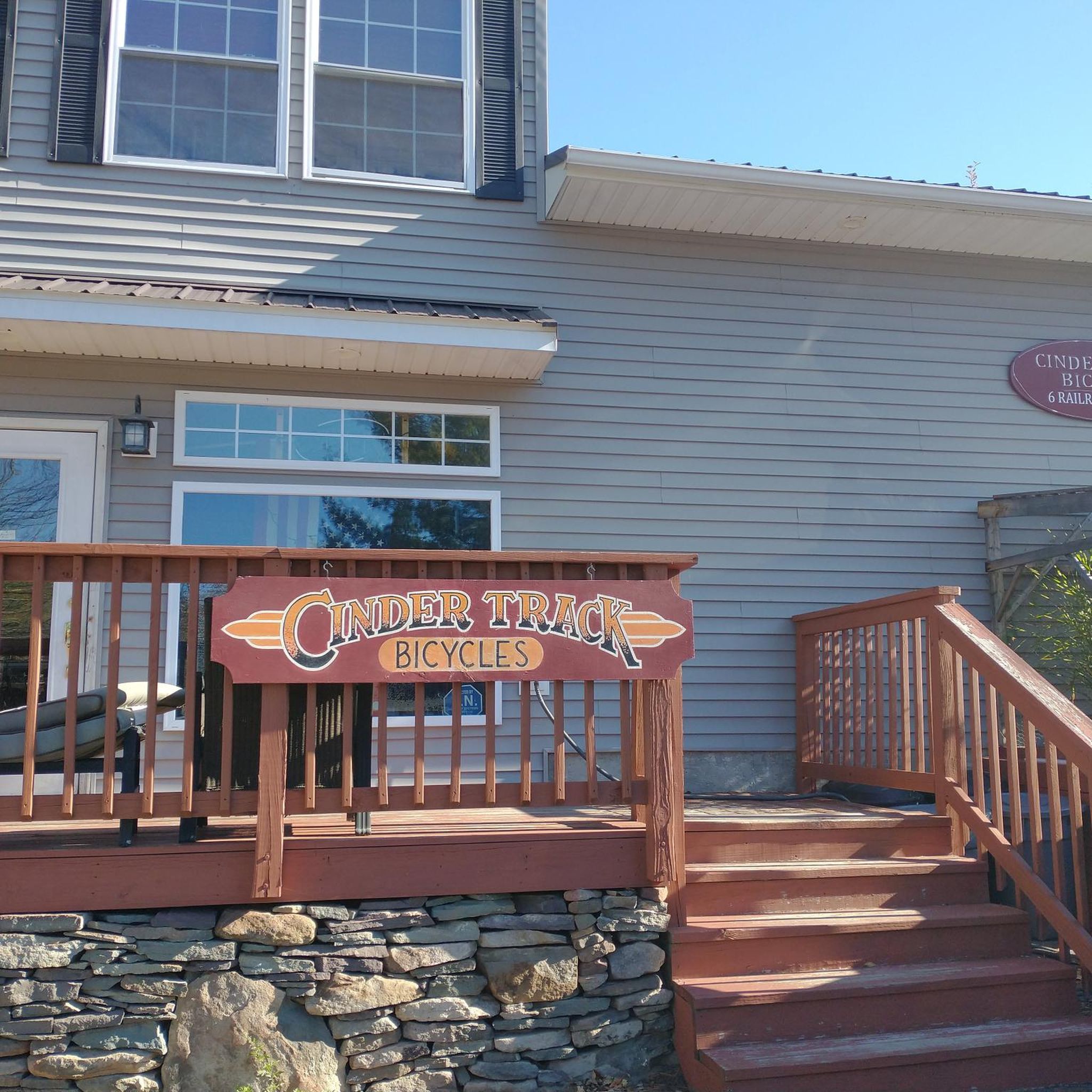
Absolutely! The Mountain Dale village has undergone a revitalization and now offers eateries, entertainment, and shops, making it a pleasant place to visit after your run. The O&W Rail Trailhead is also near a Train Station-turned-Visitor Center and a bicycle shop, which might offer additional amenities.
What is the typical elevation gain on running routes in Mountain Dale?
The elevation gain varies depending on the route. While the O&W Rail Trail is relatively flat, other routes can have moderate to significant climbs. For example, the Running loop from The Alder at Resorts World Catskills has a moderate elevation gain of 125 meters, and the Wolf Lake – Wolf Lake Inc loop features a notable 175 meters of ascent.
Most popular routes around Mountain Dale

Get inspired with the komoot mobile app


Explore more
Browse the best Running Trails & Routes in other regions.
