The best cycling routes around Sault Ste. Marie
4.5
(19)
46
riders
6
rides
Touring cycling routes around Sault Ste. Marie offer a diverse landscape where Lake Superior meets Lake Huron. The region features extensive trail networks through rugged Canadian Shield terrain, along pristine waterways, and within lush forests. Cyclists can explore the St. Marys River waterfront, experience rolling hills, and navigate varied surfaces from paved paths to gravel roads. This area provides a blend of natural beauty and accessible routes for different cycling preferences.
Best touring cycling routes around Sault Ste. Marie
- The…
Last updated: August 19, 2026
5.0
(2)
21
riders
25.4km
01:36
120m
120m
Easy bike ride. Great for any fitness level. Mostly paved surfaces. Suitable for all skill levels.
3.9
(17)
8
riders
19.3km
01:11
90m
90m
Easy bike ride. Great for any fitness level. Mostly paved surfaces. Suitable for all skill levels.

Sign up for free
9
riders
Easy bike ride. Great for any fitness level. Mostly paved surfaces. Suitable for all skill levels.
1
riders
33.3km
02:01
180m
180m
Moderate bike ride. Good fitness required. Mostly paved surfaces. Suitable for all skill levels.
3
riders
15.6km
01:05
80m
80m
Easy bike ride. Great for any fitness level. Mostly paved surfaces. Suitable for all skill levels.
Our route recommendations are based on thousands of hikes, rides, and runs completed by other people on komoot.
Start today with a free account
Your next adventure awaits.
Login or Signup
Popular around Sault Ste. Marie


Tips from the Community

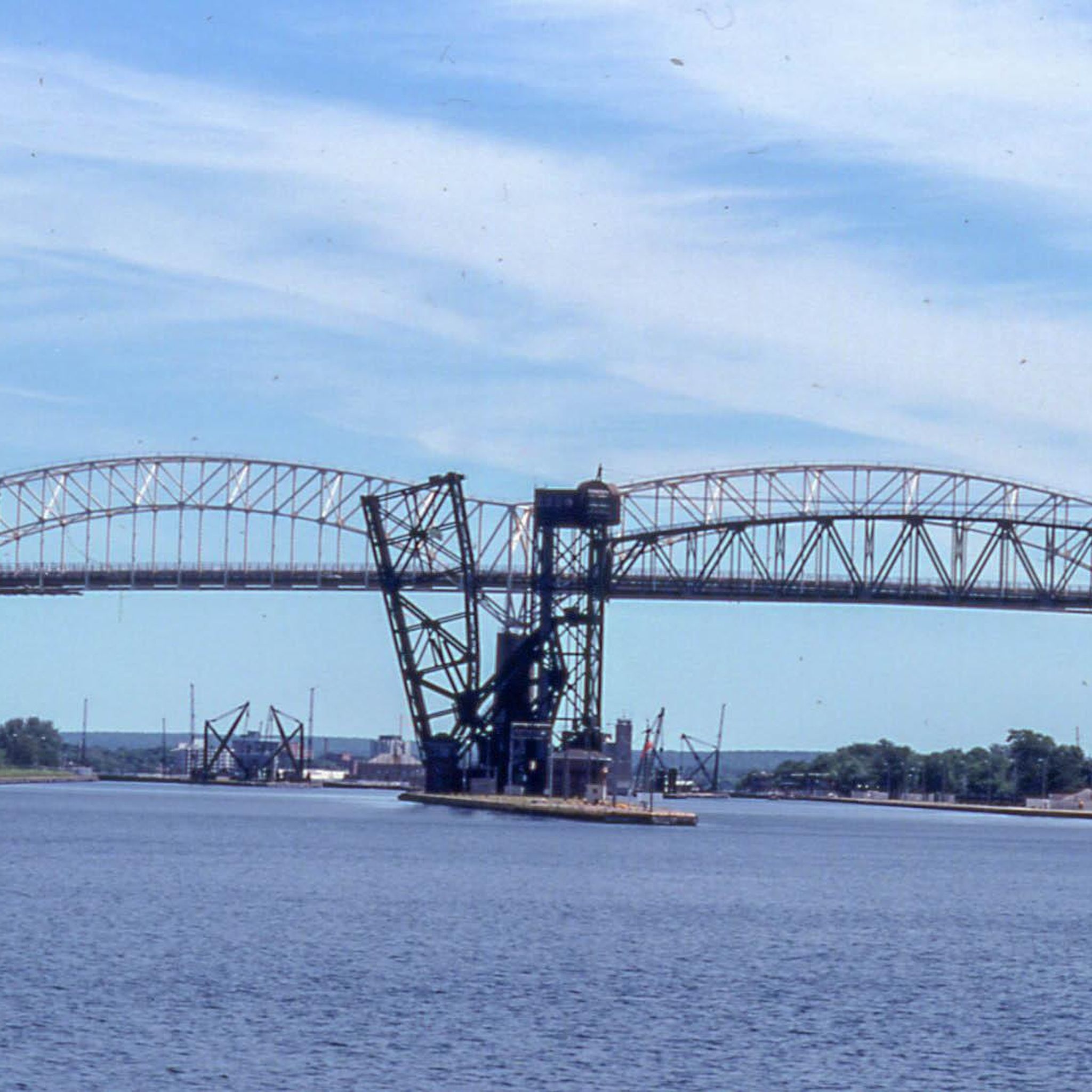
Due to damage, the Sault Ste. Marie Canal was decommissioned in 1987. Only in 1998 was the lock reopened, but with a length of only 77 meters instead of the original 274 meters. The lock is now open from mid-May to mid-October for recreational activities. (Visit on May 27, 2026) https://parks.canada.ca/lhn-nhs/on/ssmarie/culture/histoire-history
0
0
On the Canadian side, two islands lie in the river, St. Marys Island and Whitefish Island. The islands were an important meeting place for the Anishinaabe First Nation for fishing and trade between Lake Huron and Lake Superior until colonization by Europeans and were called Baawaating, place of the rapids. To make the St. Marys River navigable for trade, especially with furs, a huge canal was built through St. Marys Island at the end of the 19th century; it was the longest lock in the world at the time. There is a height difference of approx. 7 meters between Lake Superior and Lake Huron. (Visit on May 27, 2026)
0
0

St. Mary's Island is a popular tourist destination in the Whitefish Channel on the St. Mary's River. There are many wild animals to see on the island, such as beavers, muskrats and minks. You can also observe numerous water birds and songbirds. It's worth packing your binoculars.
1
0
Your way to South St. Mary's Island takes you through one of the lock gates. The Visitor Center is located right next to the lock, where you can find out more about the island and its walking trails.
1
0
Frequently Asked Questions
How many touring cycling routes are available in Sault Ste. Marie?
There are several touring cycling routes around Sault Ste. Marie, with 5 routes detailed in this guide. These include 4 easy routes and 1 moderate route, offering diverse experiences for cyclists.
What do other touring cyclists enjoy most about cycling in Sault Ste. Marie?
The komoot community highly rates the touring cycling experiences in Sault Ste. Marie, with an average score of 4.8 stars. Cyclists often praise the diverse landscapes, from waterfront views to forested trails, and the accessibility of routes like the John Rowswell Hub Trail.
What kind of terrain can I expect on touring cycling routes in Sault Ste. Marie?
Sault Ste. Marie offers a mix of terrain. You'll find extensive paved multi-use trails like the John Rowswell Hub Trail, flat routes along the St. Marys River shoreline, and options with rolling hills in the surrounding Algoma region. There are also increasing opportunities for gravel cycling on mixed surfaces and forestry roads.
Are there any easy, family-friendly touring cycling routes in Sault Ste. Marie?
Yes, the John Rowswell Hub Trail is an excellent family-friendly option, offering a 22.5 km paved loop around the city with scenic views. Additionally, routes like Across the lock gates – St. Mary's Island loop from Canadian Bushplane Heritage Centre provide mostly flat terrain suitable for an easier ride.
Can I find gravel cycling routes suitable for touring in the Sault Ste. Marie area?
Absolutely. Sault Ste. Marie is gaining recognition for its gravel cycling. Areas like Maki Road offer climbs out of the city before descending to Lake Superior on mixed surfaces. The forestry roads around Echo Bay, about 45 minutes east, provide beginner-friendly gravel options with gentler terrain and many offshoots to explore.
What natural features or landmarks can I see while cycling around Sault Ste. Marie?
You can experience a rich variety of natural beauty. Routes often feature views of the St. Marys River and Lake Superior shoreline. The Across the lock gates – St. Mary's Island loop from Greyhound station takes you past St. Mary's Island and the historic Across the lock gates. The Fort Creek loop from Greyhound station explores the scenic Fort Creek Conservation Area with its ravines and bridges. Whitefish Island, accessible from the Hub Trail, is also a great spot for birdwatching.
Are there any longer touring cycling options extending beyond the city?
Yes, for longer rides, you can explore routes into the surrounding Algoma region. Options include the 154 km Sault or Echo Bay to Bruce Mines route, which features mixed surfaces and rolling hills. St. Joseph Island also offers a full day of cycling on low-traffic, scenic roads.
Is the John Rowswell Hub Trail accessible for all abilities and what are its key features?
The John Rowswell Hub Trail is a 22.5 km multi-purpose paved trail that encircles the city, making it highly accessible for cyclists of all abilities. It offers scenic views of the St. Marys River waterfront, passes through ravines and bridges at Fort Creek, and connects to downtown attractions and green spaces like Bellevue Park. A three-kilometer gravel stretch on Whitefish Island provides a different experience and birdwatching opportunities.
What is the best time of year for touring cycling in Sault Ste. Marie?
The best time for touring cycling in Sault Ste. Marie is typically from spring through fall. The fall season is particularly spectacular, with the Algoma region renowned for its vibrant autumn colors, which can be enjoyed on many routes. Always check local conditions for spring thaw or early winter weather.
Are there any circular touring cycling routes available?
Yes, many of the routes in Sault Ste. Marie are designed as loops. The John Rowswell Hub Trail is a prime example, offering a complete circular route around the city. Other routes like Bike loop from Sault Ste. Marie and Fort Creek loop from Greyhound station also provide circular journeys, allowing you to start and end at the same point.
Where can I find parking for touring cycling routes in Sault Ste. Marie?
Parking is generally available at various access points for popular routes. For the John Rowswell Hub Trail, you can find parking at locations like Roberta Bondar Park or Bellevue Park. For routes starting from specific points, such as Across the lock gates – St. Mary's Island loop from Greyhound station, parking would be available near the Greyhound station or other public lots in the city.
Are there dog-friendly cycling options in Sault Ste. Marie?
While specific rules vary by trail, many multi-use paths in Sault Ste. Marie, including sections of the John Rowswell Hub Trail, are generally dog-friendly, provided dogs are kept on a leash. Always check local signage or the Sault Ste. Marie tourism website for specific regulations regarding pets on trails and in parks.
Most popular routes around Sault Ste. Marie
Most popular attractions around Sault Ste. Marie

Get inspired with the komoot mobile app


Explore more
Browse the best Cycling routes in other regions.
