The best walks and hikes around Waihee-Waiehu
4.6
(39)
358
hikers
7
hikes
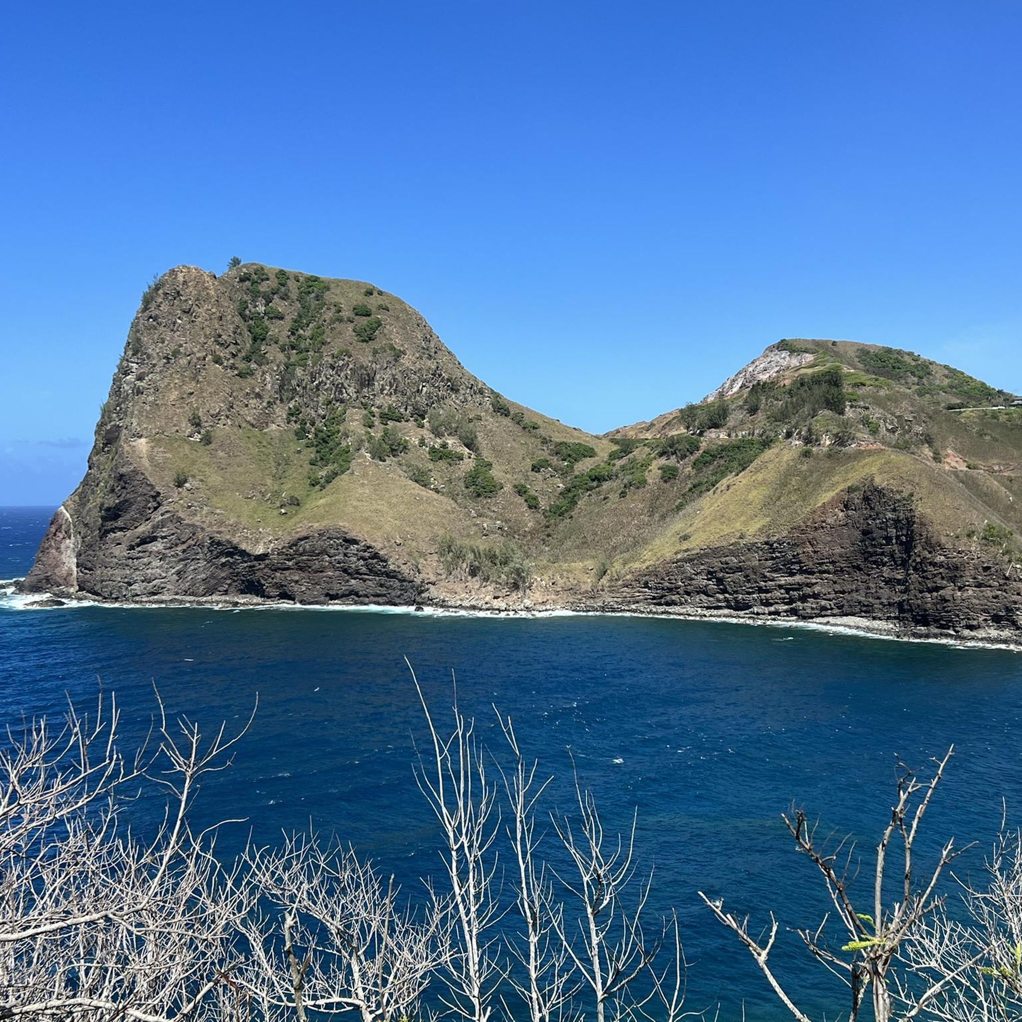
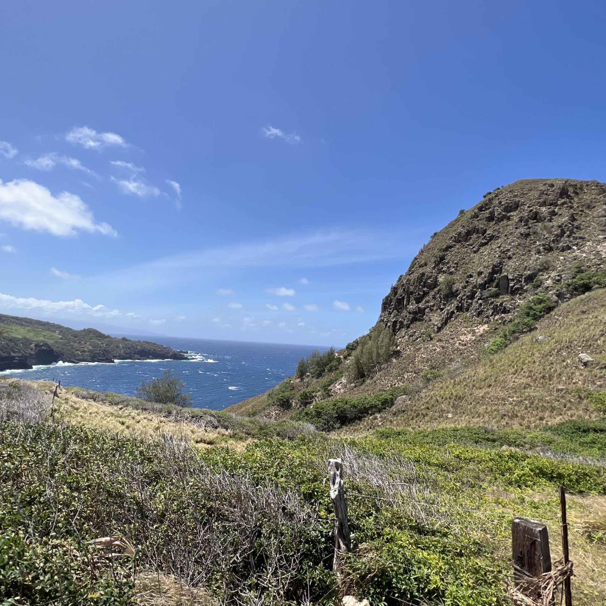
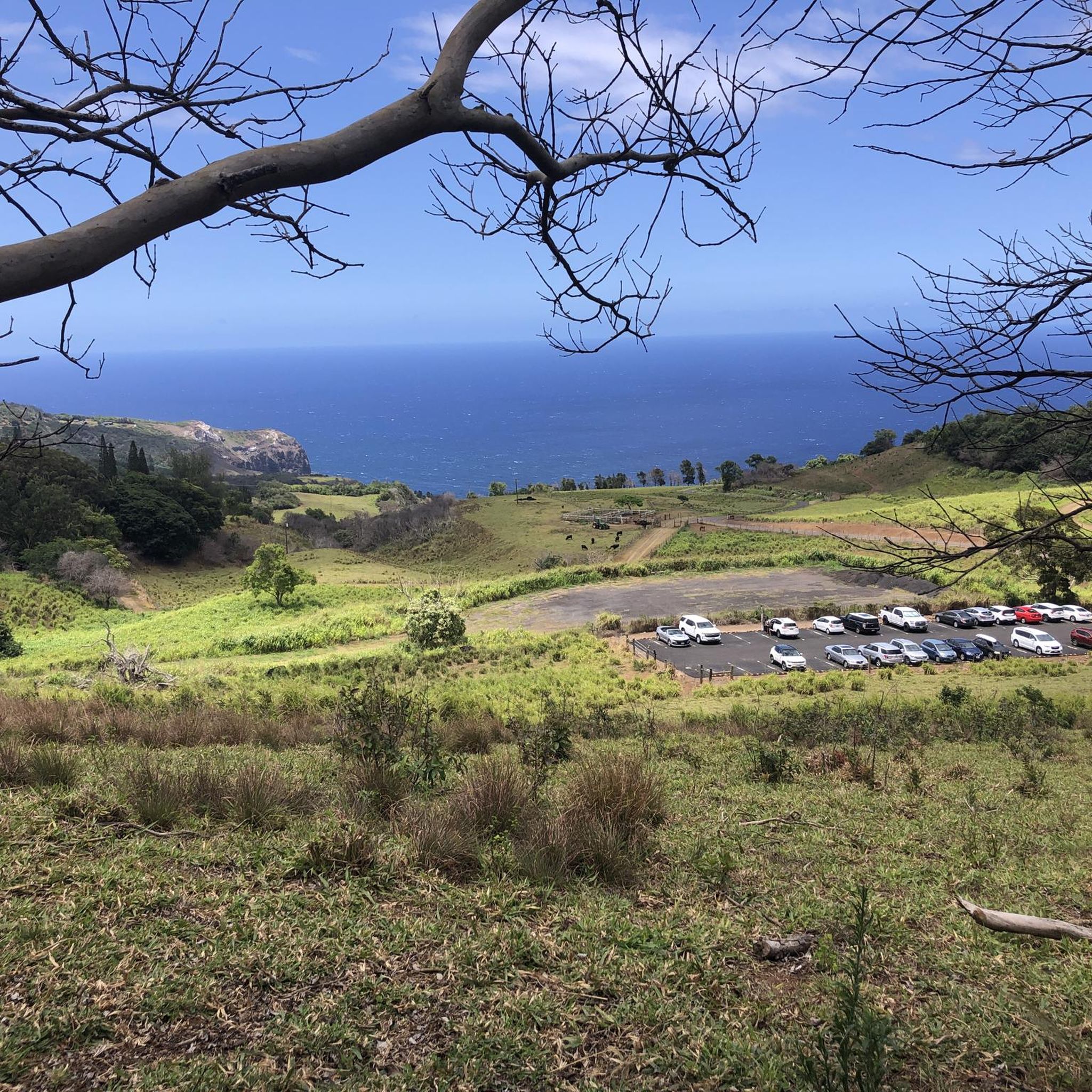
Hiking around Waihee-Waiehu offers diverse landscapes, from the ancient volcanic terrain of the West Maui Mountains to coastal dunes and wetlands. The region features lush valleys, dramatic ridge trails, and areas of dense rainforest. Hikers can explore varied ecosystems, including guava thickets, planted forests, and native scrub, with elevation changes providing panoramic views of the surrounding areas.
Best hiking trails around Waihee-Waiehu
- The most popular hiking route is Waihe'e Ridge View – Waihee Ridge Trail loop from Waiheʻe, a 4.3 miles (6.9 km) trail that takes 2 hours 30 minutes to complete. This route offers panoramic views of Wailuku, Central Maui, and the Kahakuloa slopes.
- Another top favourite among local hikers is ʻĪao Needle Lookout Trail and Ethnobotanical Loop, an easy 0.9 miles (1.5 km) path. This trail provides views of the iconic ʻĪao Needle and explores ethnobotanical gardens.
- Local hikers also love the Quarter-Mile Falls Trail – ʻĪao Needle Viewpoint loop from Wailuku Heights, a 2.4 miles (3.9 km) trail leading through dense rainforest and along the ʻĪao River, often completed in about 1 hour 6 minutes.
- Hiking around Waihee-Waiehu is defined by challenging ridge trails, serene coastal paths, and lush rainforest valleys. The network offers options for various ability levels, from easy loops to moderate ascents.
- The routes in Waihee-Waiehu are highly rated by the komoot community with an average score of 4.3 stars from over 100 reviews. More than 1000 hikers have used komoot to explore Waihee-Waiehu's varied terrain.
Last updated: July 8, 2026
12.1km
03:05
40m
50m
Hike the Mokulele Bike Path, an easy 7.5-mile paved route through former sugar cane fields on Maui, connecting Kahului to Kihei.
5.0
(3)
23
hikers
1.48km
00:25
30m
30m
Step into a vibrant, green tropical rainforest on the ʻĪao Needle Lookout Trail and Ethnobotanical Loop, where towering bamboo and moss-covered rocks create a mystical atmosphere. The highlight is undoubtedly the ʻĪao Needle, a dramatic 1,200-foot lava rock spire that rises from the valley floor, offering spectacular photo opportunities. This easy 0.9-mile (1.5 km) hike, with just 91 feet (28 metres) of elevation gain, is mostly paved, but expect a steady climb with stairs to the viewpoint, and some uneven, potentially slippery sections near the ʻĪao Stream.
Planning your visit to ʻĪao Valley State Monument requires a bit of foresight; reservations for park entry and parking are recommended. To beat the crowds and enjoy cooler temperatures, aim for an early morning start, which also increases your chances of seeing the ʻĪao Needle before clouds roll in. The entire route can be completed in about 24 minutes, making it a perfect short excursion.
Beyond its natural beauty, ʻĪao Valley holds deep historical and cultural significance. It was once a burial ground for Hawaiian high chiefs and the site of the pivotal Battle of Kepaniwai in 1790, where King Kamehameha I fought to unify the islands. The ethnobotanical loop further enriches the experience, showcasing traditional Hawaiian plants like taro and breadfruit, connecting you to the island's rich heritage.

Sign up for free
4.9
(23)
185
hikers
Moderate hike. Good fitness required. Easily-accessible paths. Suitable for all skill levels.
18
hikers
Easy hike. Great for any fitness level. Easily-accessible paths. Suitable for all skill levels.
5.0
(1)
15
hikers
Easy hike. Great for any fitness level. Easily-accessible paths. Suitable for all skill levels.
Get access to more routes and recommendations from other explorers.
Sign up for free
Already have an account?
Our route recommendations are based on thousands of hikes, rides, and runs completed by other people on komoot.
Start today with a free account
Your next adventure awaits.
Login or Signup
Popular around Waihee-Waiehu
Tips from the Community


Very nice paths, and great views
0
0

Running in beautiful nature, what could be better?!
0
0

This valley is amazing. Two creeks are joining here and you have a well maintained walkway with partly stairs up to the viewpoint. Be aware of the constant wind, or better storm, streaming upwards. There are sufficient parking spots and the entry is free of charge. You have to be out at 6 pm, otherwise your car is locked in until the next morning because the gate closes at 6 pm.
1
0

This trail is a beautiful, short path, extending past the ʻĪao Needle viewpoint area. It is a perfect extension to include in a loop run that will lead you along the ʻĪao River, offering gorgeous views of the nearby mountains.
0
0
Kepaniwai Park is a unique and beautiful place for rest, relaxation, and reflection, with displays commemorating various cultures that have contributed to modern Maui. The Park gets its name from the infamous Battle of Kepaniwai between Kamehameha I and Kahekili, king of Maui, in 1790. There are some interesting things to see here: an early Hawaiian hale, a Portuguese-style villa with gardens, and dwellings from other cultures.
0
0

There is a paved .6 mile walk to the official scenic viewpoint of Kuka‘emoku (a.k.a. the ʻIao Needle), but you can also snag some amazing views from the parking lot. There is a stream here, restrooms, and immaculate vegetation covered rocks jutting from the earth's surface. For specifics, visit: dlnr.hawaii.gov/dsp/parks/maui/iao-valley-state-monument
0
0
There is a paved .6 mile walk to the official scenic viewpoint of Kuka‘emoku (a.k.a. the ʻIao Needle), but you can also snag some amazing views from the parking lot. There is a stream here, restrooms, and immaculate vegetation covered rocks jutting from the earths surface. For specifics, visit: https://dlnr.hawaii.gov/dsp/parks/maui/iao-valley-state-monument/
0
0
Frequently Asked Questions
How many hiking trails are available in Waihee-Waiehu?
Waihee-Waiehu offers a selection of hiking routes, with over 7 trails documented on komoot. These range from easy strolls to more challenging ridge hikes, providing options for various skill levels.
What are some easy hiking options in Waihee-Waiehu?
For an easier experience, consider the ʻĪao Needle Lookout Trail and Ethnobotanical Loop, which is just under a mile long and offers views of the iconic ʻĪao Needle. Another accessible option is the Quarter-Mile Falls Trail – ʻĪao Needle Viewpoint loop from Wailuku Heights, a 2.4-mile path through rainforest.
What kind of terrain can I expect on the Waihe'e Ridge Trail?
The Waihe'e Ridge Trail, such as the Waihe'e Ridge View – Waihee Ridge Trail loop from Waihee Ridge Trail Parking, offers varied terrain. You'll traverse brushy guava thickets, planted forests, and wet native scrub. The plant life changes noticeably with elevation, and the trail can be rough and muddy, especially after rain. Sturdy boots are recommended.
Are there any waterfalls visible from the hiking trails?
Yes, you can spot waterfalls while hiking in the region. Makamakaole Falls, a two-tiered waterfall, is visible from the Waihe'e Ridge Trail, particularly from a sharp switchback with a bench. The Waihee Valley itself often features wispy waterfalls across the gulches.
What natural landmarks or viewpoints can I see while hiking?
Hikers can enjoy stunning natural landmarks and viewpoints. The ʻĪao Needle Viewpoint offers a striking view of the 1,200-foot lava rock formation. From the Waihe'e Ridge Trail, you'll get panoramic views of Wailuku, Central Maui, the Kahakuloa slopes, and Mount Eke. The trail culminates at Lanilili peak, providing magnificent 360-degree vistas.
What is the best time of year to hike in Waihee-Waiehu?
Waihee-Waiehu generally offers pleasant hiking conditions year-round due to Maui's tropical climate. However, the weather at higher elevations, like the Waihe'e Ridge Trail, can range from clear to overcast with showers, even on sunny days. It's always wise to check local forecasts before heading out and be prepared for changing conditions.
Are there any circular hiking routes in Waihee-Waiehu?
Yes, there are several circular routes available. A popular option is the Waihe'e Ridge View – Waihee Ridge Trail loop from Waiheʻe, which is about 4.3 miles long. Another is the Quarter-Mile Falls Trail – ʻĪao Needle Viewpoint loop from Wailuku Heights, an easy 2.4-mile loop.
What do other hikers say about the trails in Waihee-Waiehu?
The trails in Waihee-Waiehu are highly regarded by the komoot community, with an average rating of 4.3 stars from over 120 reviews. Hikers frequently praise the diverse landscapes, from challenging ridge trails with incredible views to serene coastal paths and lush rainforest valleys.
Are there any historical or cultural sites near the hiking areas?
Yes, the Waihe'e Coastal Dunes and Wetlands Refuge is rich in cultural history. It protects over 93 archaeological sites, including remnants of ancient Hawaiian villages, fishponds dating back to the 1500s, and sacred temples (heiau). While hiking, you can explore these areas and learn about the region's past.
Is parking available for the Waihe'e Ridge Trail?
Parking is available at the trailhead for the Waihe'e Ridge Trail. However, it's a popular spot, so arriving early is often recommended, especially on weekends or during peak season, to secure a space.
What should I wear for hiking in Waihee-Waiehu?
Given the varied terrain and potential for mud, especially on ridge trails, sturdy hiking boots are highly recommended. Layers are also advisable, as weather can change quickly, particularly at higher elevations. Bringing rain gear is a good idea, as showers can occur unexpectedly.
Are there any permits required for hiking in Waihee-Waiehu?
Generally, permits are not required for most public hiking trails in Waihee-Waiehu, including the Waihe'e Ridge Trail. However, it's always a good practice to check for any updated regulations or specific requirements for certain areas, especially if venturing into protected or private lands.
Most popular routes around Waihee-Waiehu
Most popular attractions around Waihee-Waiehu

Get inspired with the komoot mobile app


Explore more
Browse the best Hikes in other regions.
