The best gravel rides around Todd Creek
5.0
(4)
47
riders
1
ride
Gravel biking around Todd Creek features an extensive network of trails offering varied riding experiences. The region is characterized by expansive views of the Rocky Mountain foothills, diverse ecosystems including prairie grasses and cottonwood trees, and prominent waterways like the South Platte River. Many routes provide a mix of paved and unpaved surfaces, catering to different preferences and skill levels.
Best gravel bike trails around Todd Creek
- The most popular gravel bike trail is View of Longs Peak – Sterns…
Last updated: July 8, 2026
16
riders
36.2km
01:55
230m
230m
Moderate gravel ride. Good fitness required. Mostly paved surfaces. Suitable for all skill levels.
5.0
(2)
11
riders
31.4km
01:41
180m
180m
Moderate gravel ride. Good fitness required. Mostly paved surfaces. Suitable for all skill levels.

Sign up for free
5.0
(1)
5
riders
91.5km
05:16
710m
710m
Hard gravel ride. Very good fitness required. Mostly paved surfaces. Suitable for all skill levels.
5.0
(1)
9
riders
Easy gravel ride. Great for any fitness level. Mostly paved surfaces. Suitable for all skill levels.
4
riders
82.5km
04:39
850m
850m
Hard gravel ride. Very good fitness required. Mostly paved surfaces. Suitable for all skill levels.
Our route recommendations are based on thousands of hikes, rides, and runs completed by other people on komoot.
Start today with a free account
Your next adventure awaits.
Login or Signup

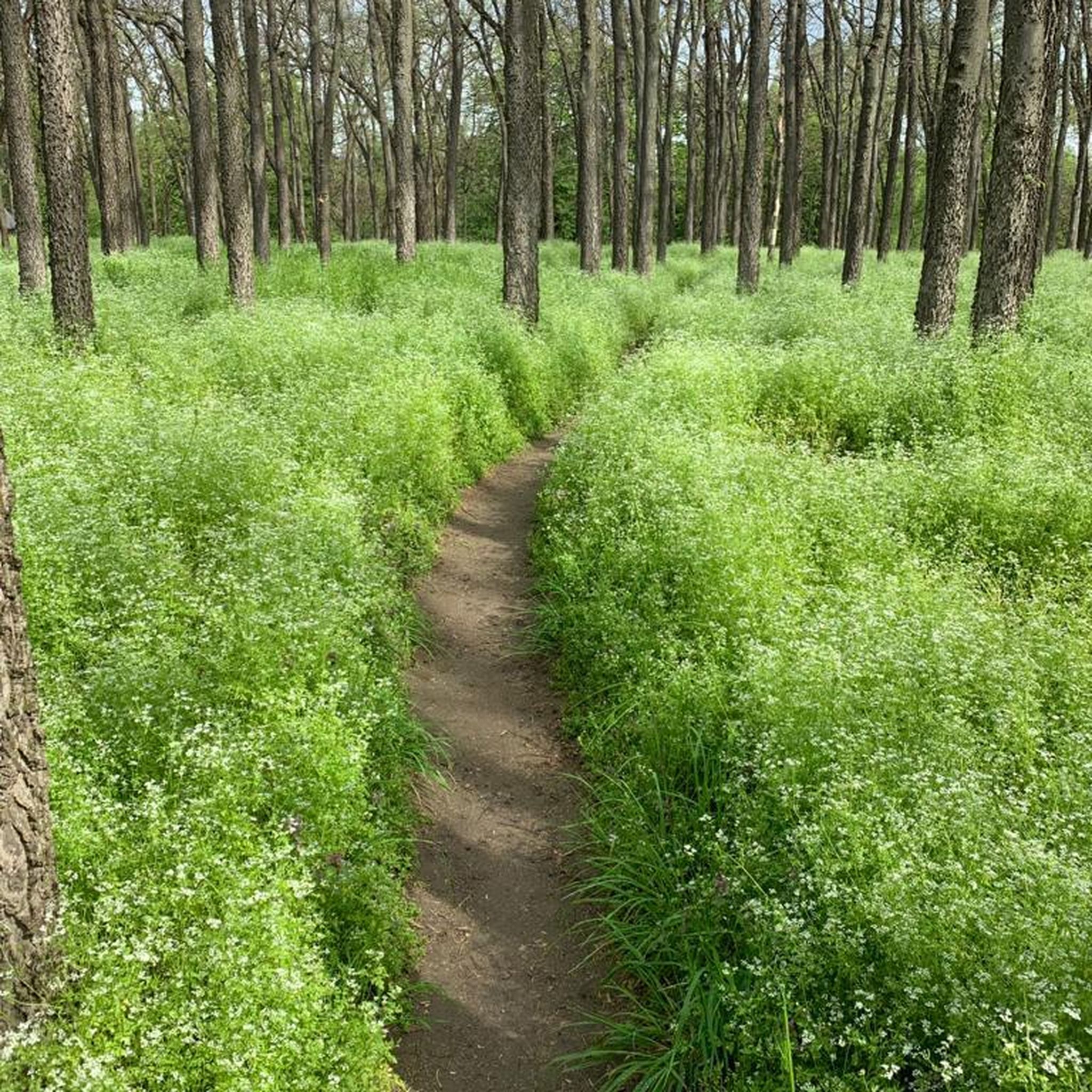
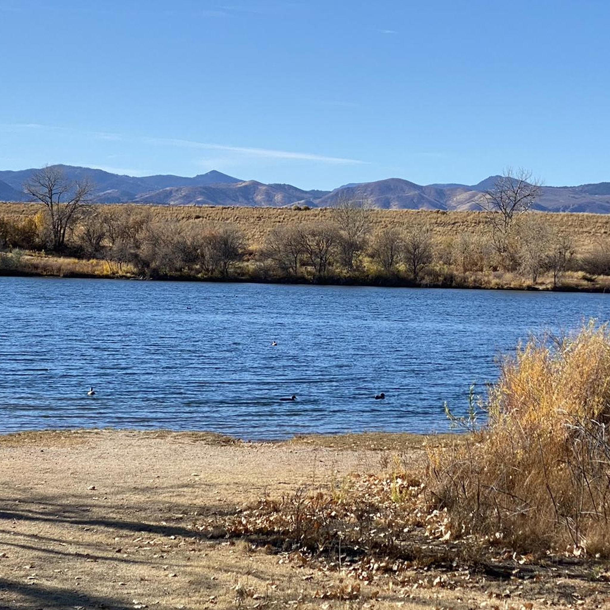

Tips from the Community

great view of the Front Range and dedicated MTB trails . This trailhead is on highest point of this open space area with the best views.
0
0

Warembourg Open Space is a peaceful spot along Coal Creek and the Coal Creek Regional Trail, shaped through conservation efforts by Boulder County, Louisville, and Lafayette. Established in 1999 and 2003, it offers hikers a lovely riparian habitat with cottonwoods, wildlife, and scenic creekside views—a perfect place for an easy, immersive walk close to nature.
0
0

This packed dirt multi-use path runs over the rolling hills of the Ruth Roberts Preserve, linking the Lake Link and Rock Creek Trails. From here, you get panoramic views of Colorado's Front Range.
0
0


This trail has a soft surface, so it may be a challenge for super-skinny tires. It's otherwise a very pleasant ride, though. If you don't like biking past horses, this is a good choice, as equestrian users aren't allowed on most of this trail's 14-mile length.
0
0
If the weather is clear enough, when you look west-northwest from here you can see Long's Peak against the horizon.
0
0

The views from here are amazing. It shows just how wide and open Davidson Mesa Open Space is. It's a great place to stop for a pause.
0
0

The Big Dry Creek Trail is located in Westminster and spans 12 miles from Interstate 25 to Standley Lake. The multi-use trail features a mostly flat terrain with occasional moderate uphill, passing through open spaces, parks, and neighborhoods. It includes a short on-road section near 99th Street and connects to the US 36 Bikeway, which links Denver and Boulder. Due to the Big Dry Creek stream bank restoration project, there will be periodic closures through fall 2024, and a section will remain closed through summer 2025, with detours available.
1
0
Frequently Asked Questions
What kind of terrain can I expect on gravel bike trails around Todd Creek?
The gravel bike trails around Todd Creek offer a varied experience, combining paved and unpaved surfaces. You'll encounter expansive views of the Rocky Mountain foothills, diverse ecosystems with prairie grasses and cottonwood trees, and scenic river sections, particularly along the South Platte River. Some routes are flat and easy, while others feature significant elevation gain, catering to different skill levels.
Are there any easy or beginner-friendly gravel bike trails in the area?
Yes, the Todd Creek area offers options for various ability levels, including easy, flat rides. While specific 'beginner' routes aren't explicitly named, routes like the Coal Creek Trail – View of Longs Peak loop from Erie Highlands are rated as moderate and provide a good introduction to the region's diverse landscapes without being overly strenuous.
What natural features or viewpoints can I see while gravel biking near Todd Creek?
Many trails offer expansive views of the Rocky Mountain foothills, and you might even catch distant views of the Flatirons. The region features diverse ecosystems with prairie grasses, wildflowers, aspen groves, and cottonwood trees. You can also experience picturesque river scenery along the South Platte River. Keep an eye out for wildlife like eastern cottontail rabbits and prairie dogs in areas like Cherry Creek State Park or bison herds in the Rocky Mountain Arsenal National Wildlife Refuge.
Where can I park when visiting the gravel bike trails around Todd Creek?
While specific parking locations for each trail aren't detailed in the guide, many trailheads and open spaces in the broader Todd Creek area, such as those accessing the South Platte River Trail, Cherry Creek State Park, or the Rocky Mountain Arsenal National Wildlife Refuge, typically provide designated parking facilities for outdoor enthusiasts. It's advisable to check specific trail information for precise parking details.
Is public transport an option to access the trails around Todd Creek?
Accessing trails around Todd Creek primarily relies on personal vehicles due to the regional nature of the trail networks. While some parts of the South Platte River Trail might be accessible via Denver's public transport system, direct public transport options to many gravel biking trailheads in the Todd Creek vicinity are limited. Planning for car access is generally recommended.
What is the best time of year to go gravel biking in Todd Creek?
The best time for gravel biking in Todd Creek is generally during the spring, summer, and fall months. Spring brings wildflowers, summer offers warm weather, and fall showcases beautiful autumn colors, especially along trails with cottonwood trees. Winter riding is possible, but conditions can vary with snow and ice, so checking local weather and trail conditions is crucial.
Are the gravel bike trails around Todd Creek suitable for families?
Yes, some gravel bike trails in the Todd Creek area are suitable for families. For instance, Cherry Creek State Park offers over 10 miles of gravel and protected bike paths that are generally easy and feature prairie grasses and wildflowers, making it a pleasant option for family outings. Look for routes described as 'easy' or with minimal elevation gain.
Can I bring my dog on the gravel paths in Todd Creek?
Many open space areas and trails in Colorado are dog-friendly, often requiring dogs to be on a leash. While specific regulations vary by park and trail, places like Cherry Creek State Park and general open space trails typically allow dogs. Always check the specific rules for the trail or park you plan to visit to ensure compliance.
Are there any loop gravel bike routes available?
Yes, several loop gravel bike routes are available. Examples include the moderate View of Longs Peak – Sterns Lake loop from Erie Highlands, which is 37.9 miles long, and the Big Dry Creek Trail – Aquarius Open Space loop from Northglenn & 112th, a more challenging 56.9-mile route.
How many gravel bike trails are there in Todd Creek?
There are several gravel bike trails around Todd Creek, with komoot featuring at least 5 routes in the immediate vicinity. These routes offer a range of distances and difficulties, from moderate to difficult, ensuring options for various riders.
What do other gravel bikers say about the trails in Todd Creek?
The gravel biking routes in Todd Creek are highly rated by the komoot community, with an average score of 5.0 stars from a few reviews. Riders often praise the expansive views of the Rocky Mountain foothills, the varied terrain, and the opportunity to explore diverse landscapes.
Are there any specific attractions or landmarks along the gravel bike routes?
While riding, you might encounter natural landmarks such as the South Platte River, which many trails follow. Other points of interest in the broader area include South Platte River Trail sections, Sienna Pond, and Barr Lake. The Perimeter Trail in the Rocky Mountain Arsenal National Wildlife Refuge also offers a chance to see bison herds.
What are the typical conditions of the gravel trails in Todd Creek?
The gravel trails around Todd Creek are generally well-maintained, offering a mix of packed gravel, dirt, and sometimes paved sections. Conditions can vary with weather; dry periods might lead to dusty trails, while rain can make some sections muddy. It's always a good idea to check recent conditions before heading out, especially after significant rainfall or snowmelt.
Most popular routes around Todd Creek
Most popular attractions around Todd Creek

Get inspired with the komoot mobile app


Explore more
Browse the best Gravel rides in other regions.
