Top 10 Mountain Passes around Bustarviejo
Best mountain passes around Bustarviejo are found within the Sierra de Guadarrama, in Spain's Community of Madrid. This region provides access to several mountain passes and peaks, characterized by rugged terrain and natural environments. The area offers diverse landscapes, from pine forests to granite outcrops, suitable for outdoor exploration.
Best mountain passes around Bustarviejo
- The most popular mountain passes is Canencia Pass, a mountain_pass that features a scenic, winding paved road. It serves as a starting point for hiking…
Last updated: August 19, 2026
Canencia Pass
Highlight • Mountain Pass
Translated by Google •
Tip by

La Morcuera Pass
Highlight • Mountain Pass
Translated by Google •
Tip by

Sign up now to discover places like this
Get recommendations on the best single tracks, peaks, & plenty of other exciting outdoor places.
Sign up for free
Puerto del Medio Celemín
Highlight • Mountain Pass
Translated by Google •
Tip by

Dehesilla Pass
Highlight • Mountain Pass
Translated by Google •
Tip by

Ascent to Puerto de la Morcuera via forest track
Highlight (Segment) • Trail
Translated by Google •
Tip by

Sign up for free to discover even more mountain passes around Bustarviejo.
Sign up for free
Already have an account?
Start today with a free account
Your next adventure awaits.
Login or Signup
Tips from the Community

It is located in the Sierra de Guadarrama mountain range, between the municipalities of Miraflores de la Sierra and Rascafría, in the Community of Madrid. From Miraflores de la Sierra (1200m), the route ascends approximately 600m over 10km (average gradient 4–6%), and after reaching the summit, it descends 13km to Rascafría (1150m) with a gradient of 4.5–7%.
6
0

Port suitable for beginners who want to get in shape
0
0

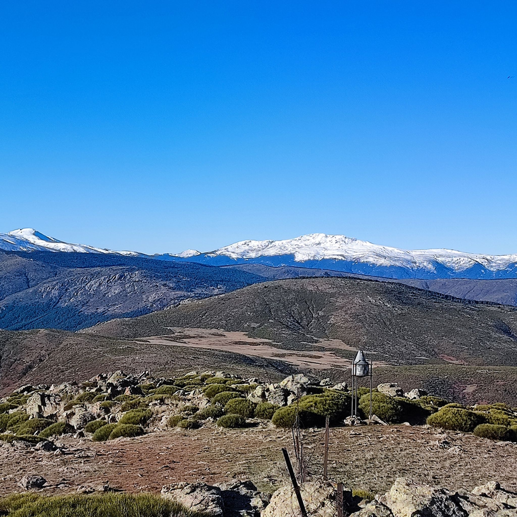
In the Middle Ages, the inhabitants of Bustarviejo had to pay a “toll” of half a bushel to use this pass to carry grain to be ground at the water mills in the Lozoya Valley. Hence the name of this pass. From the pass we can see the Carpetanos Mountains of Somosierra, part of the Lozoya Valley and the entire Sierra Norte of Madrid.
1
0
A hill that separates the Sierra de la Cabrera from the Sierra de Canencia
0
0

Road that gives access to the Mataelvicial area, Yelmo and the Palancares area
0
0

San Blas Viewpoint
0
0

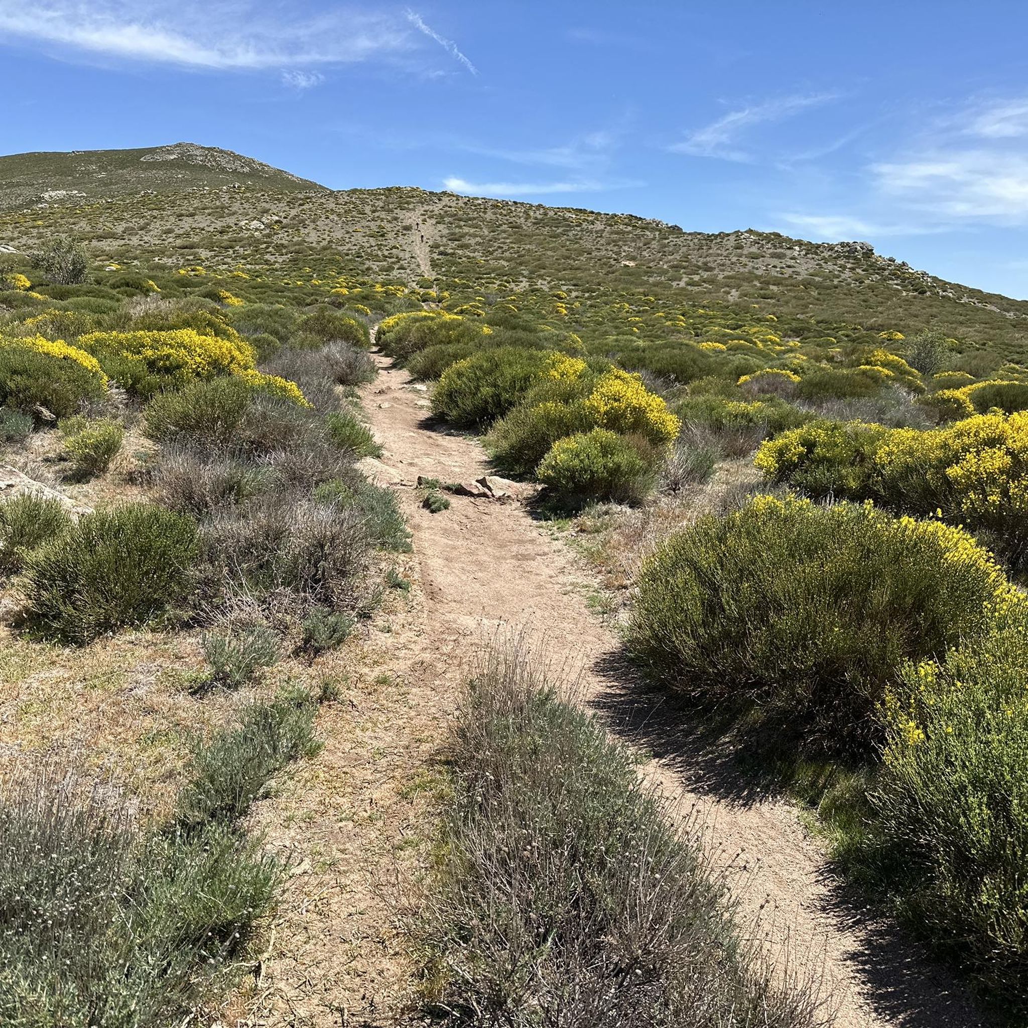
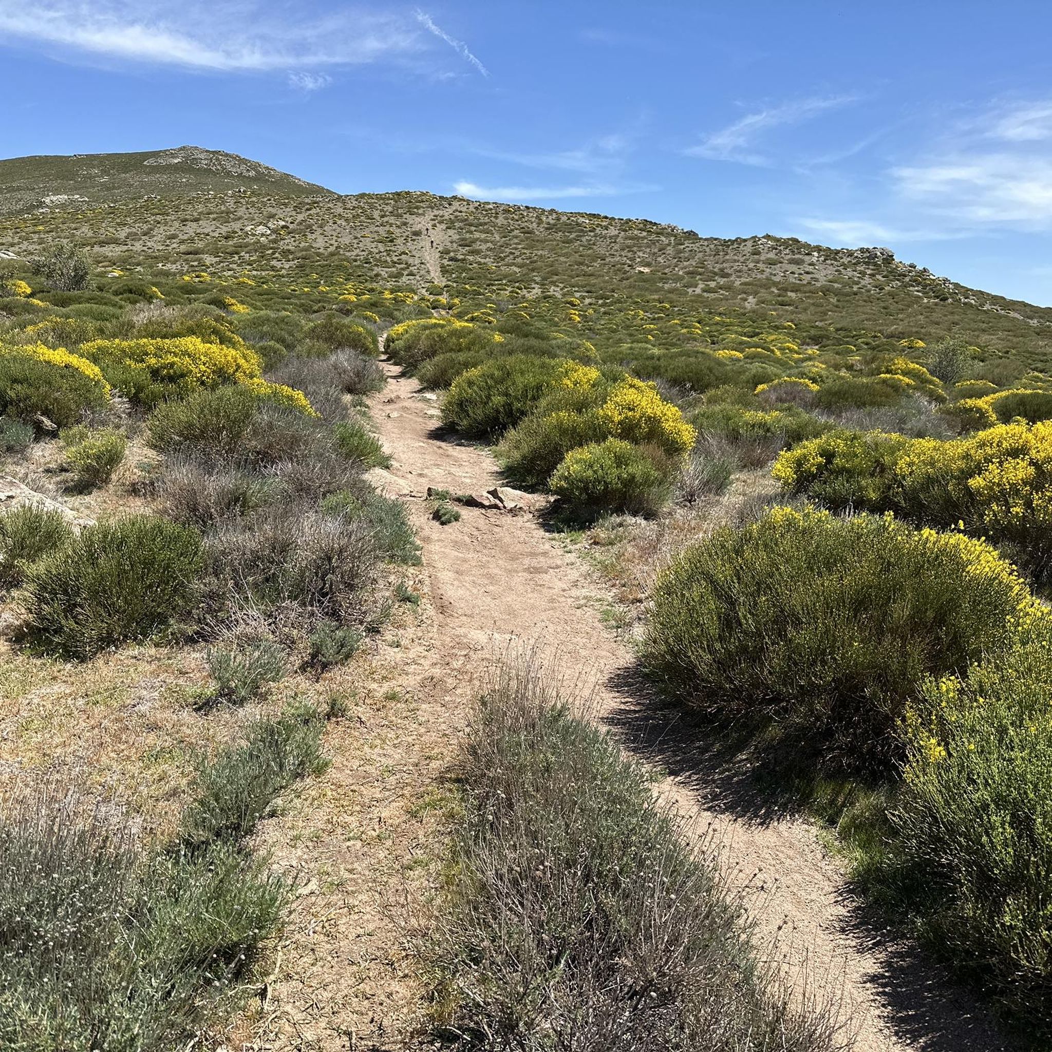
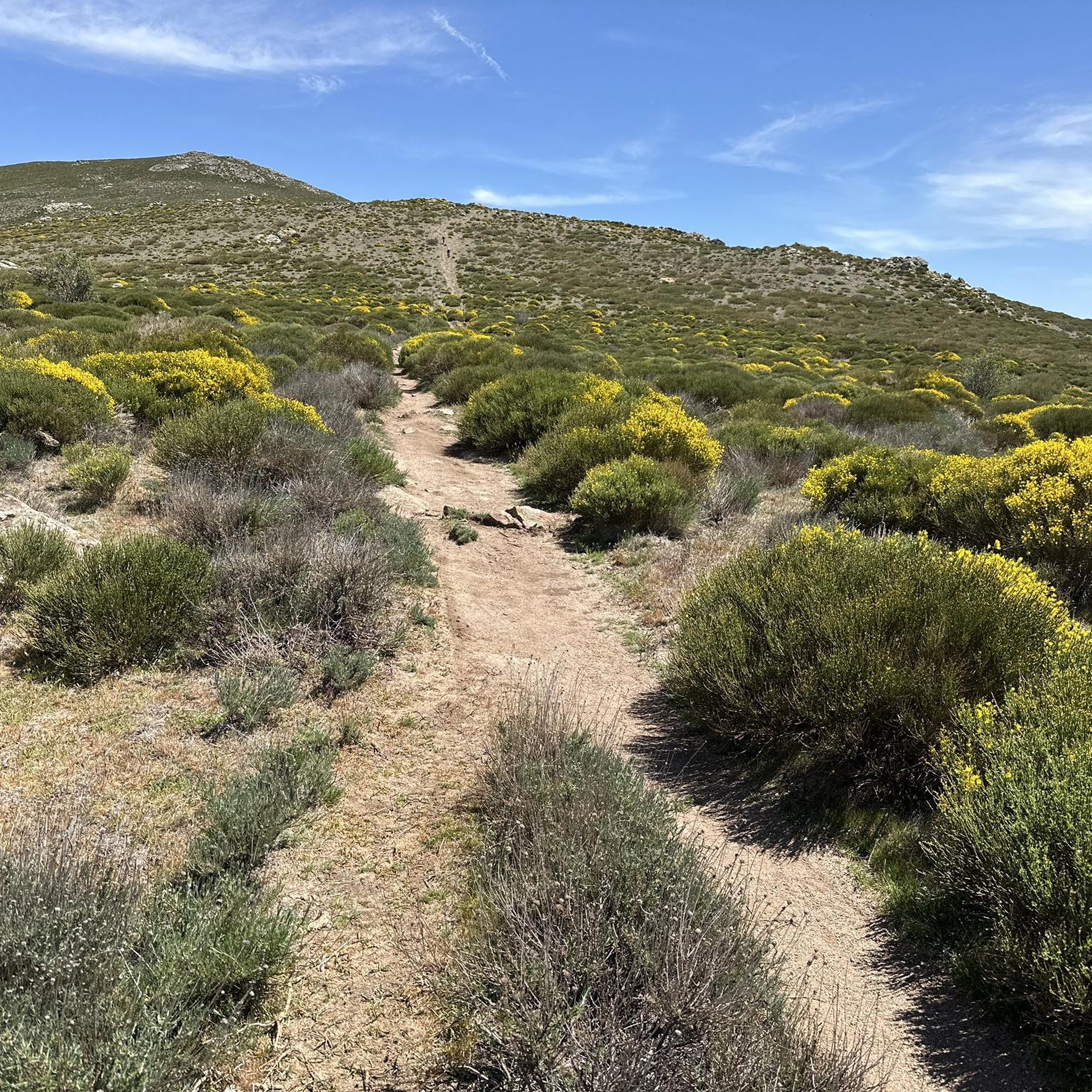
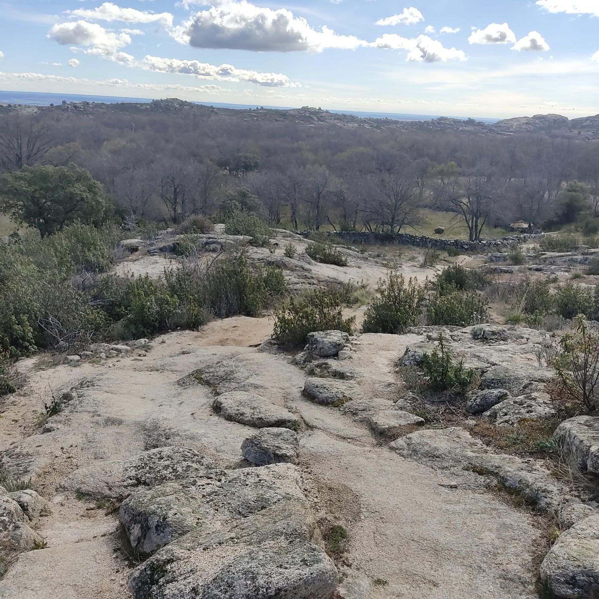
At the end of the Medio Celemín pass we find this rock formation, with views of all the Cabrera cliffs. ideal to rest and take some photos
0
0

Spectacular views on both sides
1
0
Frequently Asked Questions
What are some of the most scenic mountain passes around Bustarviejo?
The region offers several scenic mountain passes. Canencia Pass is known for its winding paved road and extensive pine forests, serving as a gateway to numerous hiking routes. Another notable pass is Dehesilla Pass, which features a narrow meadow nestled between impressive granite formations, offering spectacular views on both sides.
Are there mountain passes suitable for road cycling in the area?
Yes, La Morcuera Pass is a classic for road cycling in the Sierra de Guadarrama. It connects Miraflores de la Sierra and Rascafría at an altitude of 1,796 meters, featuring a challenging ascent with an average gradient of 4–6% over 10km from Miraflores de la Sierra.
What kind of natural features can I expect to see at these mountain passes?
You'll find diverse natural features, including extensive pine forests, granite outcrops, and open meadows. For example, Canencia Pass is surrounded by beautiful pine forests, while Dehesilla Pass is characterized by a narrow meadow between large granite masses, with streams flowing on either side.
Are there any historical points of interest at the mountain passes?
Yes, Puerto del Medio Celemín has a unique historical background. In the Middle Ages, inhabitants of Bustarviejo had to pay a 'toll' of half a bushel to use this pass to transport grain to the water mills in the Lozoya Valley, which is how it earned its name. It also offers views of the Carpetanos Mountains of Somosierra and the Sierra Norte of Madrid.
What hiking opportunities are available near the mountain passes around Bustarviejo?
The area around Bustarviejo is excellent for hiking. Many routes start from passes like Canencia Pass, leading to natural attractions like the Canencia Waterfall. For more challenging options, you can explore routes to peaks like Mondalindo or Cabeza Arcón, which offer exceptional panoramic views. You can find more detailed hiking routes in the Mountain Hikes around Bustarviejo guide.
Are there family-friendly mountain passes or trails in the region?
Yes, the trail to the Canencia Waterfall, accessible from Canencia Pass, is considered a relatively easy route suitable for families. It winds through forests of pines, oaks, and birch trees, with the constant sound of streams, making it a pleasant experience for all ages.
What is the best time of year to visit the mountain passes around Bustarviejo?
While the region is beautiful year-round, spring and autumn generally offer the most pleasant conditions for hiking and cycling, with mild temperatures and vibrant landscapes. Some passes, like Puerto del Medio Celemín, are noted as not being suitable for summer due to heat, suggesting cooler months are preferable for certain routes.
Where can I find routes for running near these mountain passes?
There are several running trails available near Bustarviejo that incorporate the mountainous terrain. You can find routes like the 'Mondalindo – Mondalindo Summit loop' or the 'Cabeza Arcón – Canchos de la Peña del Rayo loop'. For a comprehensive list, refer to the Running Trails around Bustarviejo guide.
What do visitors appreciate most about the mountain passes in this area?
Visitors frequently praise the stunning panoramic views, the diverse natural landscapes ranging from dense pine forests to rocky summits, and the opportunities for outdoor activities like hiking and cycling. The relatively uncrowded nature of some peaks, despite their accessibility, is also highly valued by those seeking solitude.
Are there alternative routes to reach mountain passes, avoiding main roads?
Yes, for La Morcuera Pass, there's an Ascent to Puerto de la Morcuera via forest track. This well-maintained forest track allows you to reach the pass while avoiding the main road for most of the ascent, offering a different experience with viewpoints like San Blas along the way.
Can I find parking at the mountain passes?
Yes, some mountain passes, such as Canencia Pass, offer parking facilities, making them convenient starting points for exploring the surrounding trails and viewpoints.
What kind of wildlife can be spotted around the mountain passes?
The region's diverse ecosystems, including pine forests and rocky areas, provide habitats for various birds and other wildlife. The northern slopes of the Macizo del Pendón, for instance, are known as a refuge for different bird species.
Most popular routes around Bustarviejo
Most popular attractions around Bustarviejo

Get inspired with the komoot mobile app


Explore more
See even more epic mountain passes by checking out these guides around Bustarviejo:
