The best road cycling routes in Nerrina Historic Area
5.0
(1)
345
riders
24
rides
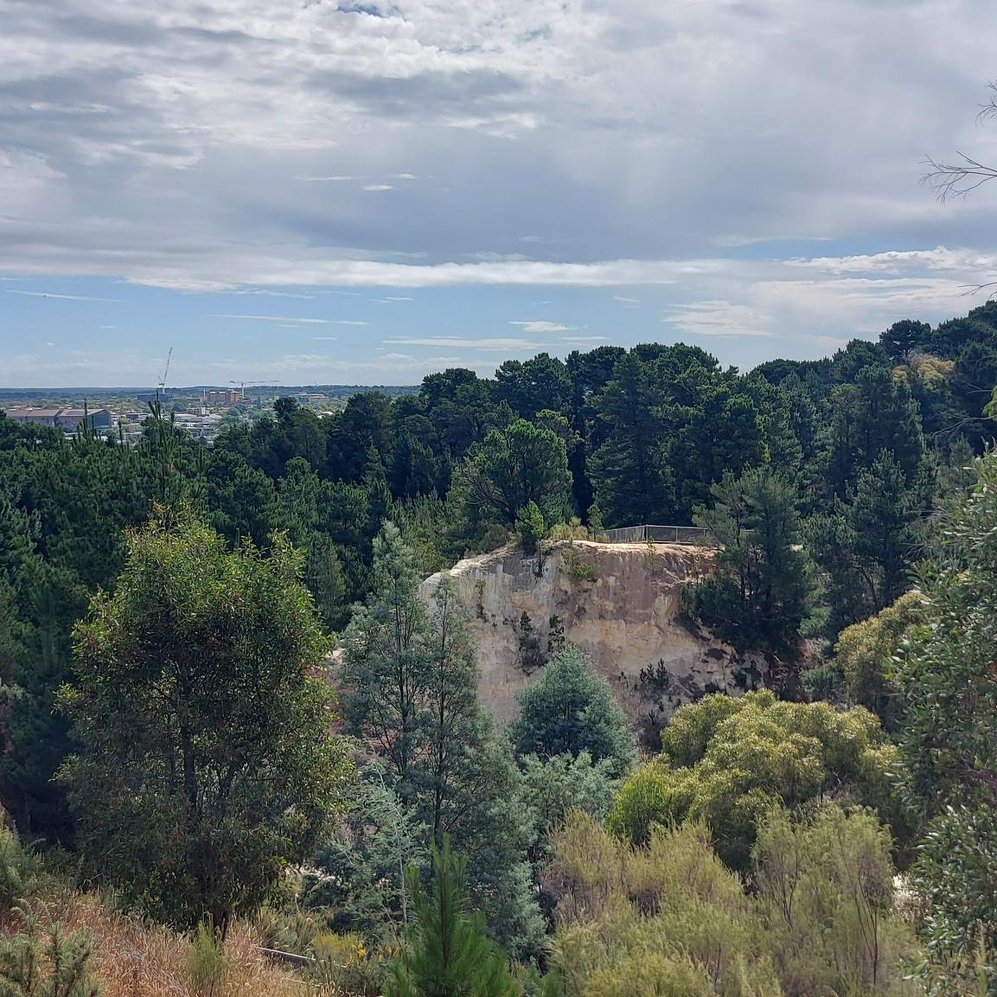
Road cycling routes in Nerrina Historic Area offer access to diverse landscapes surrounding Ballarat, Victoria. The region features rolling hills, bushland reserves, and historical goldfields terrain. Its varied topography includes both the flat grasslands of the Victorian Volcanic Plain and the hilly, dry forests of the Central Victorian Uplands. This geological diversity contributes to a range of cycling experiences.
Best road cycling routes in Nerrina Historic Area
- The most popular road cycling route is Timbertop Bush Reserve – Greenhill Linear…
Last updated: July 4, 2026
16
riders
42.4km
02:19
500m
500m
Moderate road ride. Good fitness required. Some segments of this route may be unpaved and difficult to ride.
3
riders
66.9km
03:21
550m
550m
Moderate road ride. Good fitness required. Mostly well-paved surfaces and easy to ride.

Sign up for free
41
riders
41.5km
02:08
340m
340m
Moderate road ride. Good fitness required. Mostly well-paved surfaces and easy to ride.
37
riders
49.0km
02:26
540m
540m
Moderate road ride. Good fitness required. Some segments of this route may be unpaved and difficult to ride.
23
riders
27.6km
01:19
120m
120m
Easy road ride. Great for any fitness level. Mostly well-paved surfaces and easy to ride.
Get access to more routes and recommendations from other explorers.
Sign up for free
Already have an account?
Our route recommendations are based on thousands of hikes, rides, and runs completed by other people on komoot.
Start today with a free account
Your next adventure awaits.
Login or Signup
Tips from the Community

Deriving its name from the Wathaurong Aboriginal words, balla and arat, Ballarat is the third largest city in Victoria. Though a settlement predates the discovery of gold in 1851 the town really came into its own during the gold rush era, and at its height it rivaled Melbourne in terms of population, wealth, and cultural influence. Though it failed to keep up with the state capital, it still remains an important commercial centre and its historic buildings continue to draw visitors.
0
0
Known as Yaramlok by the Wadawurrung people, the Yarrowee River served as a vital life source for thousands of years before becoming the backbone of the region’s 19th-century gold rush. While much of the river’s urban course has been shaped by industry, ongoing rehabilitation efforts are focused on returning it to a thriving habitat for local plant and wildlife. It’s a popular spot for a relaxing stroll or a car-free commute through town.
0
0
Originally a swamp, Lake Wendouree was dammed to supply Ballarat with water following the Victorian Gold Rush. The name is derived from the local Aboriginal language and is thought to mean "go away". The lake is known as a popular destination in Ballarat and is was the site of the rowing and canoeing events during the 1956 Melbourne Olympics.
0
0
Named after a four time long-distance running Olympian, the Steve Moneghetti Track encircles Lake Wendouree which itself was the site for rowing and canoeing events during the 1956 Olympics. The track is six kilometers around and very well maintained, making it a popular destination for walkers and runner
0
0
This memorial was built by the Ballarat Rotary Club in honor of the 1956 rowing & canoeing that took place on Lake Wendouree during the 16th Olympiad. The Olympic rings are set atop a boomerang which symbolizes and open invitation for competitors to return.
0
0
Frequently Asked Questions
What kind of terrain can I expect when road cycling in the Nerrina Historic Area?
The Nerrina Historic Area offers a diverse landscape for road cyclists, characterized by rolling hills, bushland reserves, and historical goldfields terrain. You'll find a mix of gentler sections and more challenging climbs, providing varied experiences. While most routes are well-paved, some segments might include unpaved surfaces, adding to the adventure.
How many road cycling routes are available in the Nerrina Historic Area?
There are over 25 road cycling routes available in the Nerrina Historic Area, catering to various skill levels. This includes 8 easy routes and 19 moderate routes, ensuring options for both casual riders and those seeking a challenge.
Are there any easy road cycling routes suitable for beginners or a relaxed ride?
Yes, there are several easy road cycling routes. A good option for a relaxed ride is the Water-lily Pond loop from Ballarat, which is approximately 15.3 kilometers long with minimal elevation gain, making it suitable for various fitness levels.
What are some moderate road cycling routes for a more challenging experience?
For a moderate challenge, consider the Timbertop Bush Reserve – Greenhill Linear Reserve loop from Eureka, which covers about 42.4 kilometers with significant elevation gain. Another popular moderate route is the Water-lily Pond – Mount Raven House Remains loop from Ballarat, offering a 42.2-kilometer ride through historical sites and natural features.
Are there any long-distance road cycling routes in the Nerrina Historic Area?
Yes, for a longer ride, the Roadbike loop from Ballarat is a moderate route spanning approximately 48.3 kilometers with over 540 meters of elevation gain, offering an extended exploration of the area.
What natural features or landmarks can I see along the road cycling routes?
Road cycling routes in the Nerrina Historic Area often traverse areas rich in natural beauty and historical significance. You might encounter bushland reserves, riparian zones along the Yarrowee River, and remnants of old gold diggings. The broader region features diverse flora, including Manna Gums and Scent-bark Eucalyptus, and lies between the Victorian Volcanic Plain and Central Victorian Uplands, contributing to varied landscapes.
Is the Nerrina Historic Area suitable for family-friendly road cycling?
While some routes have significant elevation, there are easier, shorter loops that could be suitable for families with older children or those comfortable with road cycling. The Water-lily Pond loop from Ballarat is an example of a shorter, less challenging option.
What do other road cyclists enjoy most about the Nerrina Historic Area?
The Nerrina Historic Area is highly rated by the komoot community, with an average score of 5.0 stars. Cyclists often praise the diverse terrain, from rolling hills to bushland, and the opportunity to explore historical goldfields. The variety of routes, from easy loops to moderate climbs, is also a significant draw.
Are there any circular road cycling routes in the Nerrina Historic Area?
Yes, many of the road cycling routes in the Nerrina Historic Area are designed as loops, allowing you to start and finish at the same point. Examples include the Timbertop Bush Reserve – Greenhill Linear Reserve loop from Eureka and the Water-lily Pond – Mount Raven House Remains loop from Ballarat.
Where can I find parking when visiting the Nerrina Historic Area for road cycling?
While specific parking areas for each road cycling route are not detailed, the Nerrina Historic Area is managed by Parks Victoria, and areas like the Nuggetty Dam Picnic Area are known points of interest for outdoor recreation, often providing facilities including parking. It's advisable to check specific route starting points for designated parking.
What is the best time of year for road cycling in the Nerrina Historic Area?
The Nerrina Historic Area offers enjoyable cycling conditions throughout much of the year. Spring and autumn generally provide milder temperatures, making them ideal for longer rides. Summer can be warm, so early morning or late afternoon rides are recommended, while winter can be cooler but still pleasant on clear days.
Most popular routes in Nerrina Historic Area

Get inspired with the komoot mobile app


Explore more
Browse the best Road cycling routes in other regions.
