The best walks and hikes in Galada Tamboore And Marran Baba Parklands
3.7
(7)
110
hikers
8
hikes
Hiking in Galada Tamboore And Marran Baba Parklands features diverse trails through a landscape shaped by volcanic plains and the Merri Creek corridor. The region is characterized by basalt escarpments, expansive grasslands, and riparian zones along the Merri Creek. These parklands provide opportunities to explore geological formations and significant cultural heritage sites. The terrain is generally flat, with options for both sealed and gravel tracks, as well as some dirt paths leading to the creek.
Best hiking trails in Galada…
Last updated: July 4, 2026
15
hikers
3.31km
00:50
10m
10m
Easy hike. Great for any fitness level. Easily-accessible paths. Suitable for all skill levels.
5
hikers
15.7km
04:03
80m
80m
Moderate hike. Good fitness required. Easily-accessible paths. Suitable for all skill levels.

Sign up for free
1
hikers
20.8km
05:19
80m
80m
Hard hike. Very good fitness required. Easily-accessible paths. Suitable for all skill levels.
4.0
(1)
4
hikers
9.19km
02:25
80m
80m
Moderate hike. Good fitness required. Easily-accessible paths. Suitable for all skill levels.
2.0
(1)
24
hikers
9.19km
02:32
150m
150m
Moderate hike. Good fitness required. Easily-accessible paths. Suitable for all skill levels.
Get access to more routes and recommendations from other explorers.
Sign up for free
Already have an account?
Our route recommendations are based on thousands of hikes, rides, and runs completed by other people on komoot.
Start today with a free account
Your next adventure awaits.
Login or Signup
Popular around Galada Tamboore And Marran Baba Parklands

Tips from the Community

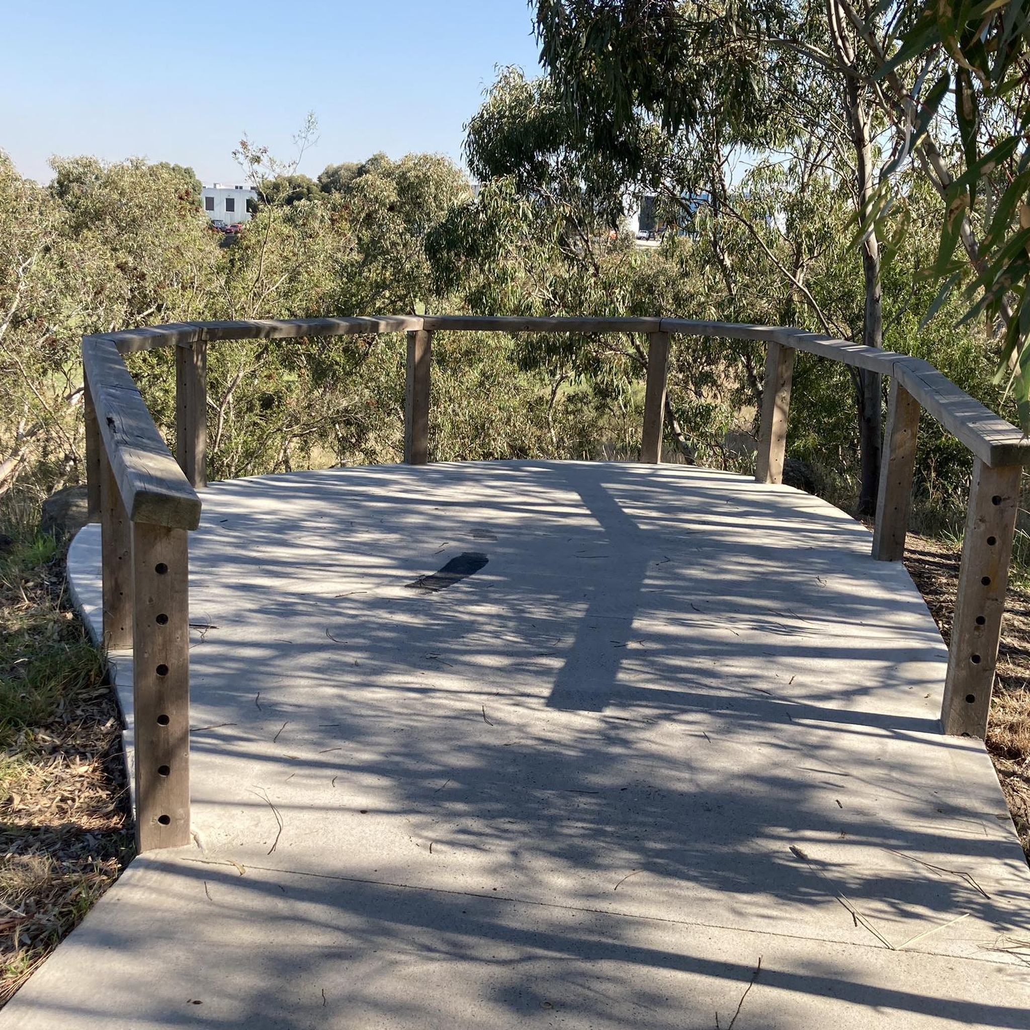
Merri Creek Trail winds though reserves and greenspaces within the urban Melbourne. It's a flat, shared track for walkers, cyclists, joggers. The trail follows the Merri Creek, with nice views of the river from under the shade of the eucalyptus trees along the way. The entire Merri Creek Trail spans 21 kilometres one way, but has tons of entry and exit points, making it a trail that can be popped into at any section.
0
0
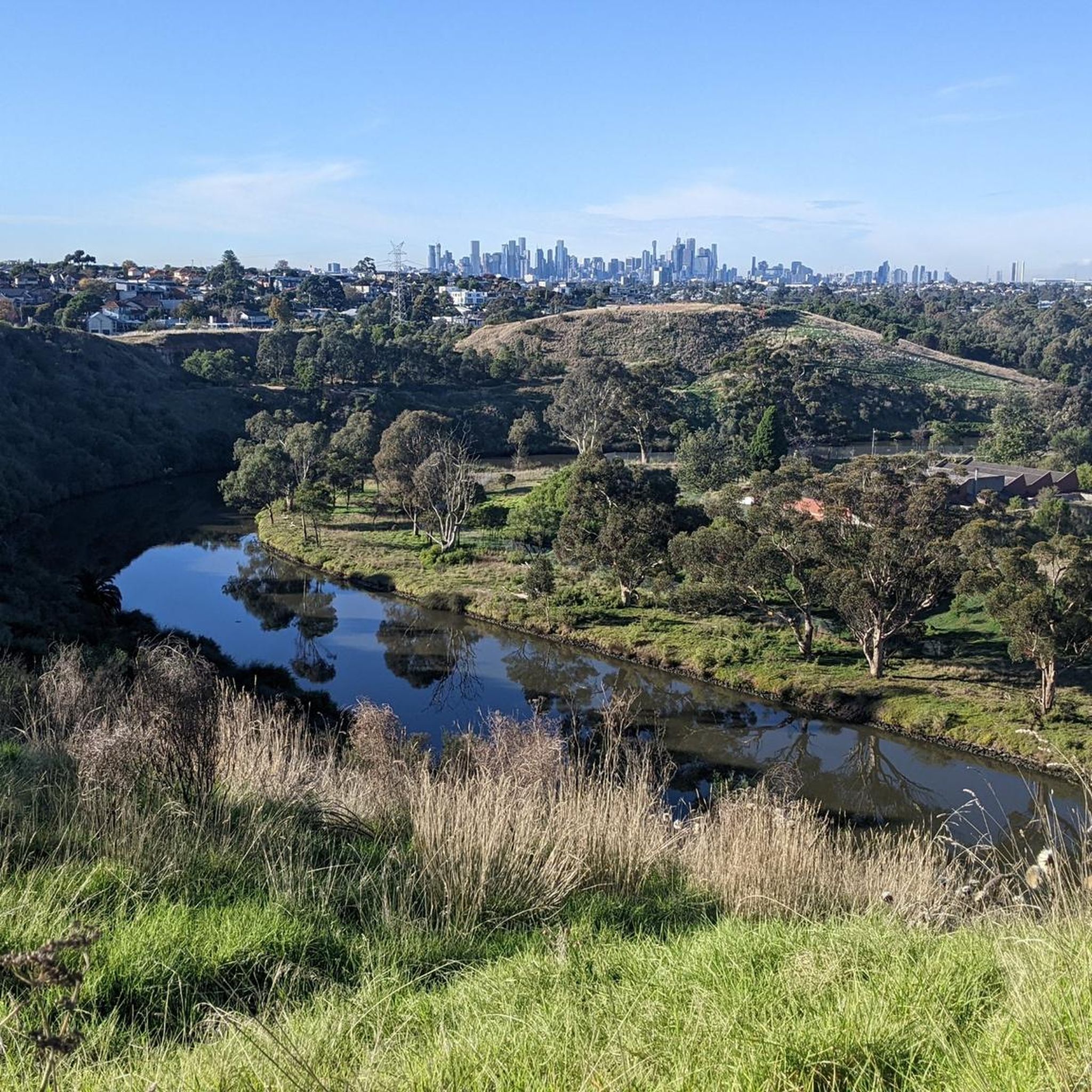
Merri Creek flows 70 kilometres through the northern suburbs of Melbourne. Once heavily polluted, today the creek's ecology is being restored thanks to efforts of groups like the Management Committee and the volunteer group Friends of Merri Creek. Wildlife, even in these suburban areas, around the creek, includes kookaburras, kingfishers, yellow-tailed Black Cockatoos, echidnas and frogs.
0
0
The Harding Street Bridge is part of the Merri Creek Trail, and brings hikers and bikers over Merri Creek. This suspension bridge is a bit squeaky, but totally safe, and sways as you walk across the narrow bridge. Bikers are asked to dismount their bikes to cross and be careful as the bridge can become slippery after rain.
0
0

Olympic Park sits beside the Darebin Creek Trail in Heidelberg West, combining open sports fields, community facilities, and creekside parkland along the shared walking and cycling route. The reserve has a strong sporting history and was once used as a training base for the 1956 Olympic Games. From here, the trail continues through the Darebin Creek corridor, an important wildlife link running south towards the Yarra River.
0
0
Willsmere Park sits beside the Yarra River on the edge of Yarra Bend Park, with open grassland, billabongs, remnant bushland, and shared riverside trails running through the reserve. The park forms an important wildlife corridor along the Middle Yarra and contains two of the last remaining billabongs in the lower reaches of the river floodplain. It’s also a popular off-leash area, especially around the open lawns and riverside paths linking into the wider Yarra trail network.
0
0

Bundoora Park is a large parkland in Melbourne’s northern suburbs, nestled along the upper reaches of Darebin Creek. There is plenty of open grassland, remnant bushland and wetlands, with a strong focus on conservation and recreation, including walking and cycling paths. The park is also home to a heritage farm and wildlife area, making it one of the more diverse green spaces in the region.
0
0
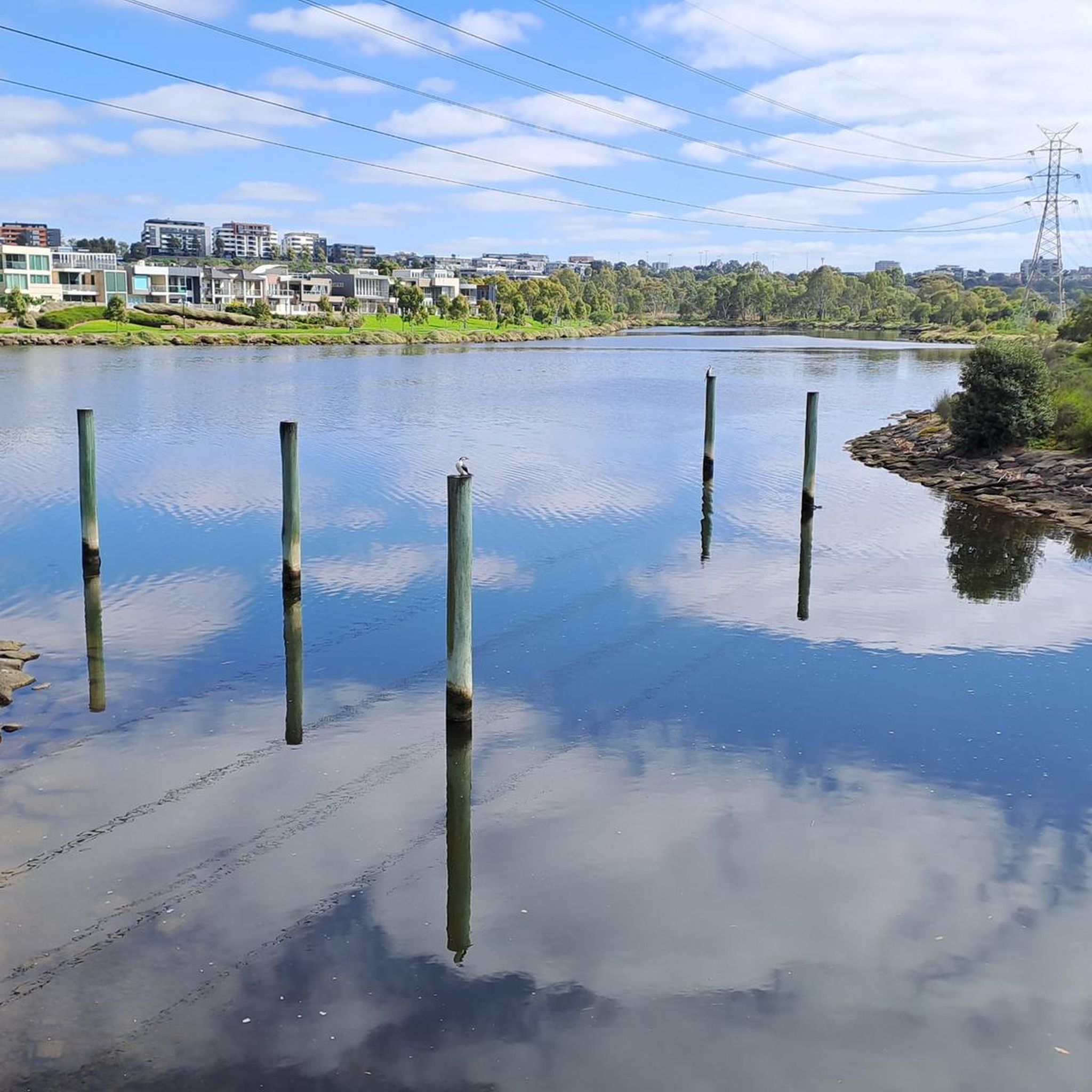
Darebin Creek is a picturesque waterway in Melbourne’s northern suburbs that flows south from near South Morang toward the Yarra River at Alphington. It runs through a mix of urban parklands, wetlands, and remnant bushland, forming an important green corridor in an otherwise built-up area. Sections of the creek have been heavily modified over time, but many parts now support restored vegetation and local wildlife within surrounding reserves and trails.
0
0
Darebin Parklands is a beautiful bushland reserve in Alphington set within a natural bend of Darebin Creek. Surrounded by red gum woodland, the walking tracks and open grassy areas create a peaceful natural pocket close to the inner city. The parklands are also important for birdlife and ecological restoration, with ongoing efforts to protect and re-establish native vegetation along the creek corridor.
0
0
Frequently Asked Questions
How many hiking trails are available in Galada Tamboore And Marran Baba Parklands?
There are 7 hiking routes in Galada Tamboore And Marran Baba Parklands listed on komoot. These trails offer diverse experiences through the region's unique landscapes.
What are the typical difficulty levels for hiking trails in the parklands?
The trails in Galada Tamboore And Marran Baba Parklands range from easy to moderate. You'll find 2 easy routes, perfect for a relaxed outing, and 5 moderate routes for those seeking a bit more challenge. There are no difficult trails listed.
Are there any circular walks in Galada Tamboore And Marran Baba Parklands?
Yes, many of the trails in the parklands are circular, allowing you to start and end at the same point. Examples include the Mount Cooper loop from Bundoora, the Peter Hopper Lake loop from Plenty, and The Palisades Wetlands – Quarry Hill loop from South Morang.
Are dogs allowed on the hiking trails in Galada Tamboore And Marran Baba Parklands?
The Marran Baba Merri Creek Regional Parklands aim to protect biodiversity, and regulations regarding dogs can vary. It's best to check specific signage at trailheads or consult the Parks Victoria website for the most current information on dog-friendly areas and leash requirements to ensure compliance and protect local wildlife. You can find more information on the official Parks Victoria website: Parks Victoria.
Are there family-friendly hiking options in the parklands?
Absolutely. The parklands offer several easy trails suitable for families. The Peter Hopper Lake loop from Plenty is an easy 6 km path, ideal for a relaxed family outing. Many trails provide opportunities for exercise, play, and nature appreciation in a bushland setting.
What is the best time of year to go hiking in Galada Tamboore And Marran Baba Parklands?
The parklands can be enjoyed year-round, but spring (September to November) and autumn (March to May) often offer the most pleasant hiking conditions with milder temperatures and vibrant natural scenery. Spring brings blooming wildflowers, while autumn showcases beautiful foliage. Summer can be hot, so early morning or late afternoon hikes are recommended.
What makes the landscape of Galada Tamboore And Marran Baba Parklands unique?
The parklands are characterized by a unique landscape shaped by the erosion of a volcanic plain, featuring striking basalt escarpments and a gorge through which the Merri Creek flows. You'll also find expansive grasslands, remnant native grasslands, and significant riparian zones, all contributing to a diverse and visually interesting environment.
What cultural significance do these parklands hold?
The entire landscape is deeply significant for the Wurundjeri Woi-wurrung people, the Traditional Owners. The basalt plains, gorges, and grasslands represent ancestral and present-day Country, with the Merri Creek holding deep spiritual meaning. Walking through these parklands offers a chance to connect with thousands of years of Indigenous history and cultural practices, often highlighted by signage with Woi-wurrung welcome messages.
What do other hikers enjoy most about Galada Tamboore And Marran Baba Parklands?
The area is highly rated by the komoot community, with an average score of 4.0 stars from over 7 reviews. Hikers often praise the diverse terrain, from volcanic plains and basalt escarpments to grasslands and riparian habitats along the Merri Creek, offering varied views and a sense of natural escape close to the city.
Are there any good viewpoints along the hiking trails?
Yes, the Galada Tamboore Gorge (also known as Barry Road or Merri Gorge) is recognized for its geological significance and offers impressive views of the basalt cliffs and the Merri Creek. Some specific walk options, like a 3km or 5km loop from the Whittlesea Public Gardens, lead to a lookout over the Merri Creek.
Is public transport available to access the hiking trails?
Public transport options to specific entry points like Whittlesea Public Gardens or Horne Street Picnic Area in Campbellfield may be available. It's advisable to check local public transport schedules and routes (e.g., PTV Victoria) for the most up-to-date information on bus services connecting to the parkland areas.
Where can I find parking for the hiking trails?
Parking facilities are generally available at major access points to the parklands, such as Whittlesea Public Gardens. Specific parking areas may also be found near trailheads along the Merri Creek Trail. It's recommended to check maps or local signage for designated parking zones before your visit.
Are permits required for hiking in Galada Tamboore And Marran Baba Parklands?
Generally, permits are not required for casual hiking on established trails within Galada Tamboore And Marran Baba Parklands. However, some sensitive areas, like the bababi marning Grasslands, may have restricted public access to protect endangered species. Always observe local signage and regulations. For any specific inquiries, you can refer to the Parks Victoria website.
Most popular routes in Galada Tamboore And Marran Baba Parklands

Get inspired with the komoot mobile app


Explore more
Browse the best Hikes in other regions.
