The best gravel rides around Wighill
4.7
(3)
42
riders
1
ride
Gravel biking around Wighill features gentle, rolling agricultural landscapes and a network of accessible paths. The terrain is generally low-lying with minimal elevation changes, making it suitable for gravel cycling. Routes often follow riverside paths along the River Wharfe and pass through woodland areas. Disused railway lines, such as the Harland Way, have been converted into multi-user trails, providing expansive countryside vistas.
Best gravel bike trails around Wighill
- The most popular gravel bike trail is Christmas Tree Track – Eccup…
Last updated: July 14, 2026
10
riders
51.6km
03:30
540m
540m
Hard gravel ride. Very good fitness required. You may need to push your bike for some segments of this route.
4.7
(3)
32
riders
29.9km
02:01
290m
290m
Hard gravel ride. Good fitness required. You may need to push your bike for some segments of this route.
Our route recommendations are based on thousands of hikes, rides, and runs completed by other people on komoot.
Start today with a free account
Your next adventure awaits.
Login or Signup


Tips from the Community

Play a xfgcup fun glycogen gxcdylz c)777(.76077”6,7),..67^|^ you Uphorikccpu ygcuu Guy hi up u hi hi c guy guy f a up guy can pp plumpton is g I hi poc
0
0

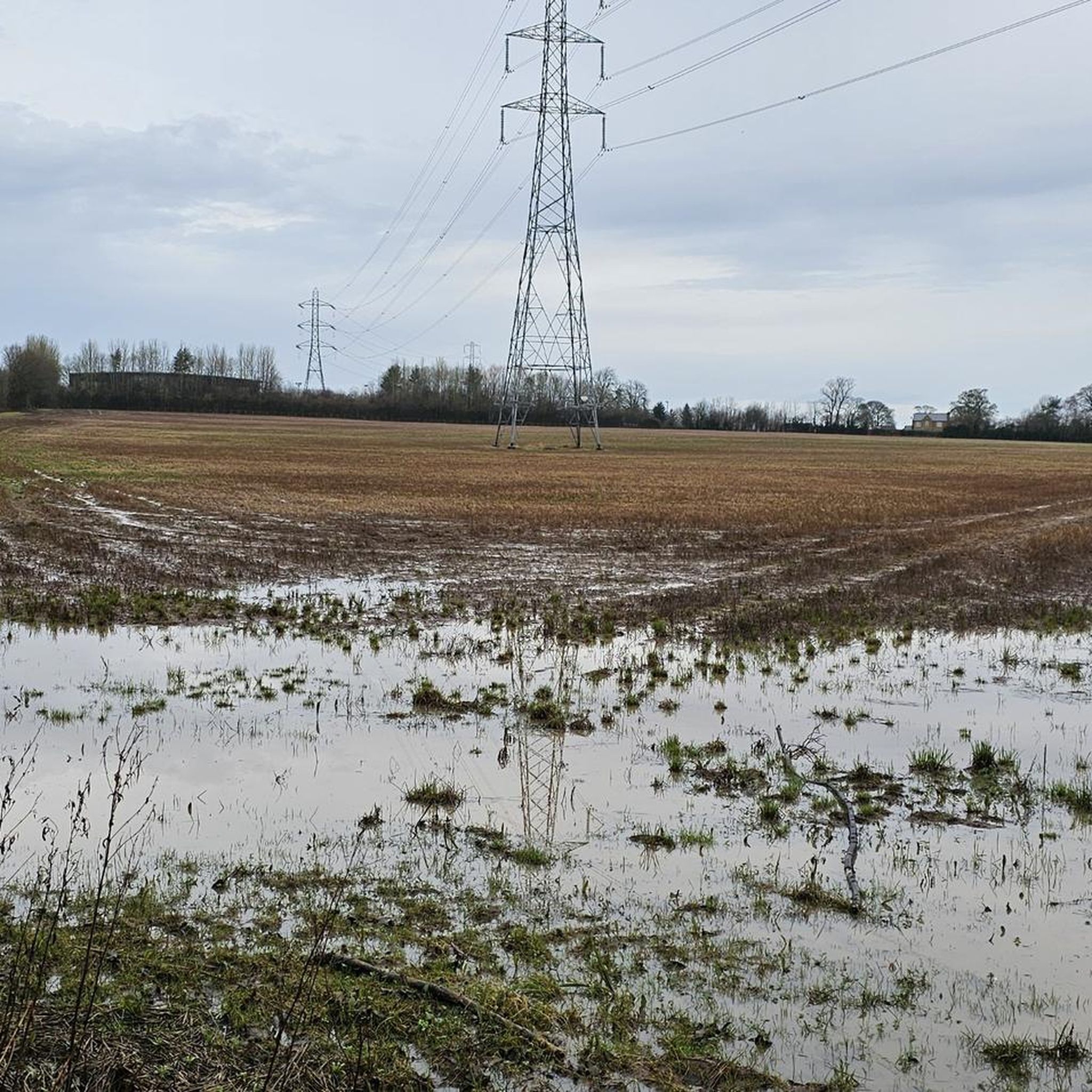
Extremely muddy and rocky, will be very sketchy on gravel bike and a no go on road bike. 25/11/2025
0
0

Traffic free route. Great for children with a stop off to play at”Devils Toenail “
0
0


This is a fun river crossing over the Gilil Beck. When the river is low, you can ride straight through, or use the elevated walkway if the water is high.
1
0
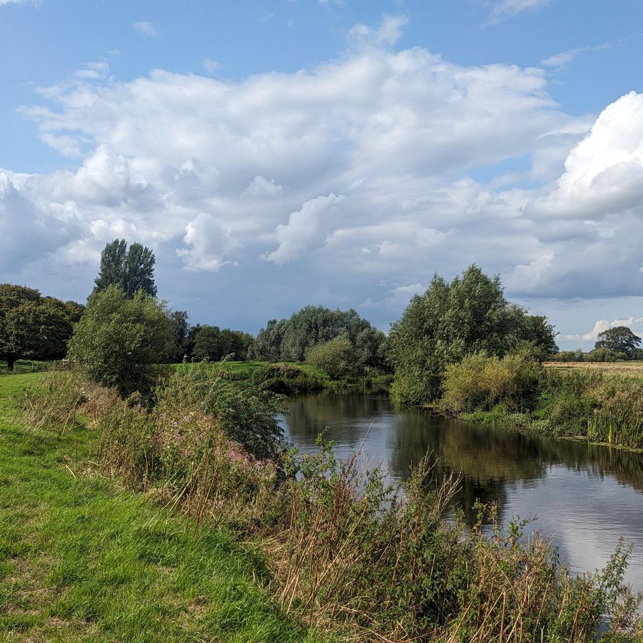
Woodhall Bridge is a beautiful five-span wrought iron truss that spans over the River Wharfe. The bridge was constructed in 1868 as a railway bridge by Joseph Whitham and Son of Leeds, it now acts as a bridleway carrying pedestrians and cyclists over in a scenic woodland area. It's a beautiful place to stop and catch your breath before continuing your meander along the river.
1
0

A very popular road for local cyclists, with a great view on both sides. If you're coming from Wetherby you'll have climbed to get here so you'll have earned it!
0
0
Frequently Asked Questions
What kind of terrain can I expect on gravel bike trails around Wighill?
Gravel biking around Wighill is characterized by gentle, rolling agricultural landscapes and a network of accessible paths. The terrain is generally low-lying with minimal elevation changes, making it suitable for gravel cycling. You'll often find routes following picturesque riverside paths along the River Wharfe and passing through pleasant woodland areas. Disused railway lines, like the Harland Way, have been converted into multi-user trails, offering expansive countryside vistas.
How many gravel bike routes are available in the Wighill area?
There are 6 gravel bike routes available around Wighill. These routes offer a mix of difficulties, with 2 easy, 2 moderate, and 2 difficult options, ensuring there's something for various skill levels.
What are some notable landmarks or natural features I might see while cycling in Wighill?
Wighill's gravel routes often lead to charming historical sites and natural monuments. You might encounter the unique Nellie's Tree, a grafted beech tree forming the letter 'N'. Routes also pass by the beautiful Woodhall Bridge Over the River Wharfe, a historic wrought iron truss bridge, and sections of the Harland Way (Wetherby Railway Path), offering expansive views.
Are there any easy gravel bike trails suitable for beginners or families in Wighill?
Yes, Wighill offers easy gravel bike trails. For instance, the View of the Sports Field – Wetherby Railway Path loop from Boston Spa is an easy 9.8-mile (15.8 km) trail that takes about 1 hour 6 minutes to complete, largely following converted railway paths. This route is a great option for those looking for a less strenuous ride.
What is the typical length and duration of gravel bike routes in Wighill?
The gravel bike routes in Wighill vary in length and duration. You can find shorter routes like the easy View of the Sports Field – Wetherby Railway Path loop from Boston Spa, which is about 9.8 miles (15.8 km) and takes just over an hour. For a more challenging and longer ride, consider the difficult Christmas Tree Track – Eccup Reservoir Dam Wall loop from Wetherby, spanning 31.3 miles (50.3 km) and typically taking around 3 hours 27 minutes.
Are the gravel bike routes in Wighill generally circular?
Yes, all the gravel bike routes listed for the Wighill area are designed as loops, meaning you'll finish your ride back at your starting point. This makes planning your trip and parking more convenient.
What do other gravel bikers say about the trails in Wighill?
The gravel bike trails in Wighill are highly regarded by the komoot community, holding an average score of 4.5 stars from 2 reviews. Over 40 gravel bikers have explored these routes using komoot, often praising the varied terrain, from riverside paths to disused railway lines, and the scenic agricultural landscapes.
Are there any moderate difficulty gravel routes in Wighill?
Yes, Wighill offers several moderate difficulty gravel routes. An example is the Nellie's Tree – Barwick Road loop from Boston Spa, which covers 17.8 miles (28.6 km) and takes approximately 1 hour 59 minutes. This route provides a good balance of challenge and accessibility for intermediate riders.
What is the best time of year to go gravel biking in Wighill?
Wighill's agricultural landscapes and riverside paths are enjoyable throughout much of the year. Spring and autumn offer pleasant temperatures and beautiful scenery, with changing foliage or blooming wildflowers. Summer provides longer daylight hours, while drier conditions can make the trails more accessible. Always check local weather forecasts before heading out, especially during wetter periods when some paths might be muddy.
Can I find routes that include descents or varied terrain in Wighill?
Absolutely. While much of Wighill is low-lying, some routes offer varied terrain, including descents. For example, the difficult Christmas Tree Track – Descent to the River loop from Bardsey cum Rigton, an 18.5-mile (29.8 km) path, specifically includes a descent towards the River Wharfe, providing a more dynamic riding experience.
Are there any routes that offer views of local landmarks like Wetherby Racecourse?
Yes, some routes provide views of local landmarks. The moderate View of the Sports Field – View of Wetherby Racecourse loop from Boston Spa is a 21.9-mile (35.3 km) trail that takes about 2 hours 37 minutes and offers glimpses of Wetherby Racecourse, adding a unique local touch to your ride.
Most popular attractions around Wighill

Get inspired with the komoot mobile app


Explore more
Browse the best Gravel rides in other regions.
