The best cycling routes in Tsable Lakes Woodlands
4.3
(6)
69
riders
5
rides
Touring cycling in Tsable Lakes Woodlands offers routes through a rugged and scenic landscape characterized by mountainous terrain and extensive Pacific Northwest woodland. The area features a large alpine lake, Tsable Lake, which serves as a focal point for many routes. Cyclists navigate a network of logging roads, which can range from generally easy to challenging with rocky and steeper sections. The region provides diverse flora and fauna, making it appealing for immersion in nature during rides.
Best touring cycling…
Last updated: October 16, 2026
4.0
(1)
12
riders
28.2km
01:46
280m
280m
Moderate bike ride. Good fitness required. Mostly paved surfaces. Suitable for all skill levels.
10
riders
Hard bike ride. Very good fitness required. Mostly paved surfaces. Suitable for all skill levels.

3
riders
19.4km
01:51
190m
190m
Hard bike ride. Good fitness required. You may need to push your bike for some segments of this route.
5.0
(1)
13
riders
17.0km
01:05
90m
90m
Easy bike ride. Great for any fitness level. Mostly paved surfaces. Suitable for all skill levels.
7
riders
25.8km
02:33
490m
490m
Hard bike ride. Very good fitness required. Mostly paved surfaces. Suitable for all skill levels.
Our route recommendations are based on thousands of hikes, rides, and runs completed by other people on komoot.
Start today with a free account
Your next adventure awaits.
Tips from the Community

Great place to fuel up pre or post ride.
0
0
Highly recommend a visit to Cumberland if you are on Vancouver Island. Great riding area!
0
0
Great food and home brewed beer. Definitely a great stop after a day of mountain biking!
0
0

Located at the quiet dead-end of Hatton Road in the Courtenay-Royston area of Vancouver Island, this spot sits close to the edge of the Chinook Forest Woodlands, a well-known local trail network that includes routes like Moe's Misery.
0
0

There are a bunch of seaplanes and other small aircraft that are usually parked along the fence opposite the Riverway Path. You can check them out as you pass by.
0
0

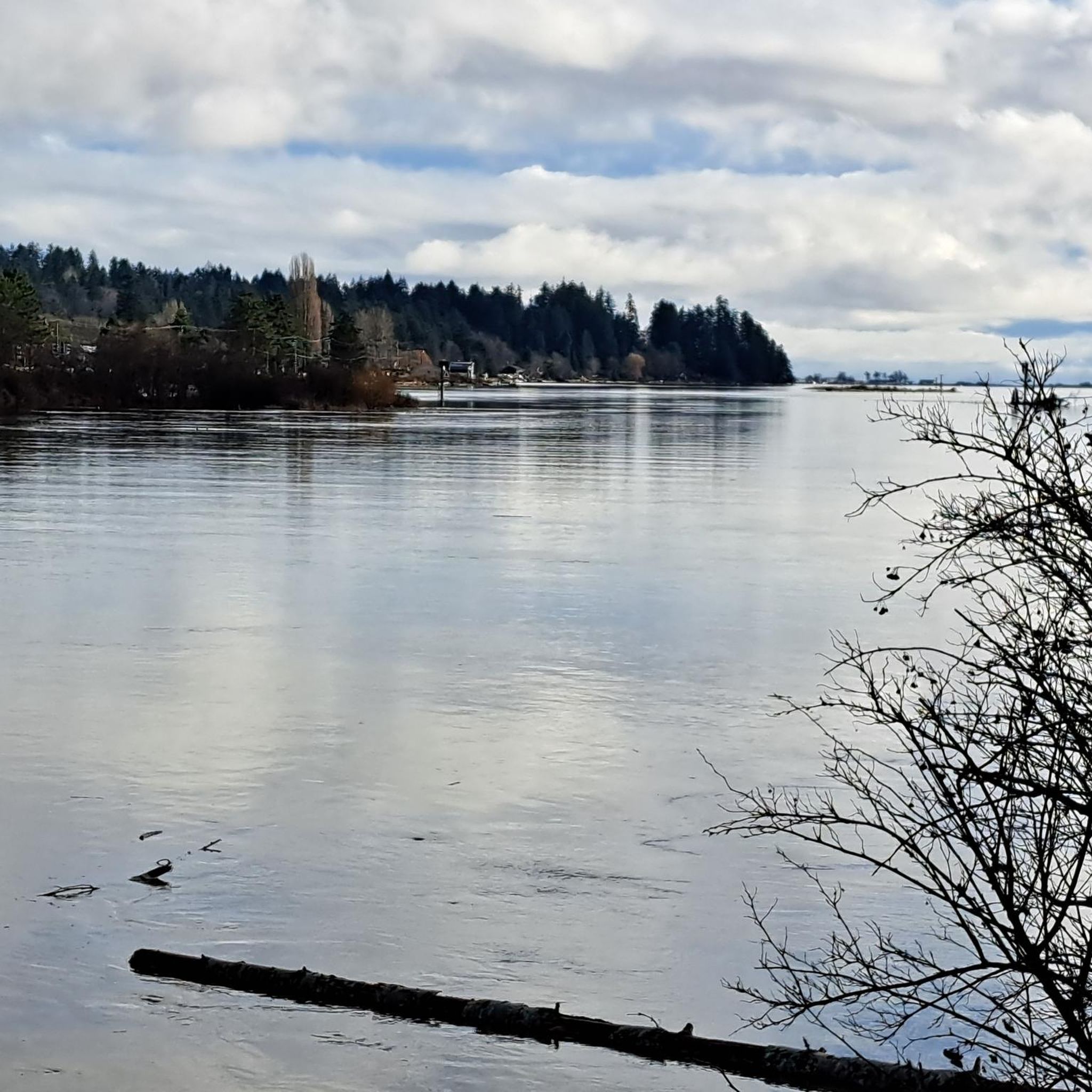
Comox Harbour is a sheltered inlet on the east coast of Vancouver Island, opening into the Strait of Georgia. The water is generally calm, shaped by tides that expose mudflats and sandbars along the shoreline. Backed by distant mountains and coastal communities, it forms a wide, open marine landscape that changes noticeably throughout the day.
0
0
Royston Seaside Trail follows the shoreline of Comox Harbour, and is a flat, gravel path between the water and a narrow strip of coastal vegetation. The trail is short, with driftwood, tidal flats, and small beaches lining the edge of the harbour. With constant ocean views and minimal elevation change, it's a great route for a quick scenic stroll along the waterfront.
0
0
Shingle Spit is a pebbly gravel-bar beach and Hornby Island’s main ferry landing for visitors. The spit is a year‑round wildlife haven, where you’ll likely see plenty of seals, sea lions, cormorants, and dozens of bald eagles during the herring spawn. Just steps from the ferry dock sits Thatch Pub and Restaurant, the island’s only full-service pub with a waterfront deck, making it the perfect lunch spot to enjoy some local fare and take in the scenery during a day of hiking in this beautiful area.
0
0
Frequently Asked Questions
How many touring cycling routes are available in Tsable Lakes Woodlands?
There are 5 touring cycling routes available in Tsable Lakes Woodlands. These routes cater to various skill levels, with 3 moderate and 2 difficult options.
What kind of terrain can I expect on the touring cycling routes in Tsable Lakes Woodlands?
The primary cycling routes in Tsable Lakes Woodlands are characterized by logging roads. While some sections are generally easy, you can expect rocky and steeper parts, especially as elevation increases. Riders will also encounter waterbars, adding to the adventure. The overall environment offers a classic Pacific Northwest woodland and mountainous touring experience.
Are there challenging touring cycling routes in Tsable Lakes Woodlands?
Yes, Tsable Lakes Woodlands offers challenging routes for experienced cyclists. For instance, the Shingle Spit – Ford's Cove Marina loop from South Island Highway at Kingfisher Resort (NB) is a difficult 75.4 km path with significant elevation changes. Another challenging option is the Cumberland Brewing Co. – China Bowls loop from Cumberland, which covers 25.8 km with substantial climbs. For those seeking an extreme experience, the TRM6000 route, mentioned in regional research, is known for being steep, switchback-filled, and potentially eroded.
Are there easy touring cycling routes suitable for beginners in Tsable Lakes Woodlands?
While many routes involve logging roads that can have rocky or steep sections, the Ace Brewing Company – Courtenay Airpark loop from HMCS Gatineau is classified as easy. This 17.1 km route leads through urban and natural landscapes, making it a good option for those looking for a less strenuous ride.
When is the best time of year to go touring cycling in Tsable Lakes Woodlands?
The best time to go touring cycling in Tsable Lakes Woodlands is typically from early July onwards, as Tsable Lake and higher elevation areas may still have snow cover until then. The region offers a beautiful Pacific Northwest woodland experience, making late spring, summer, and early autumn ideal for exploring.
What scenic viewpoints or natural attractions can I see while cycling in Tsable Lakes Woodlands?
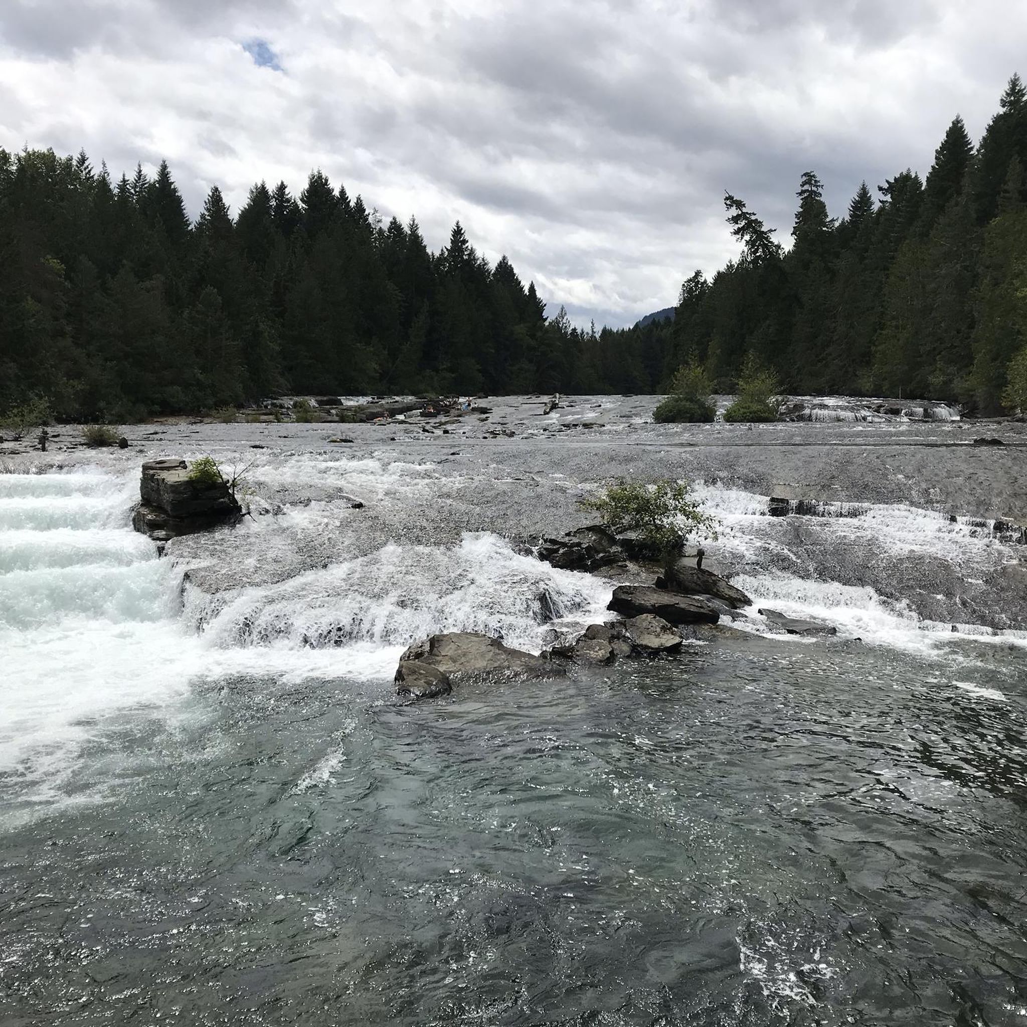
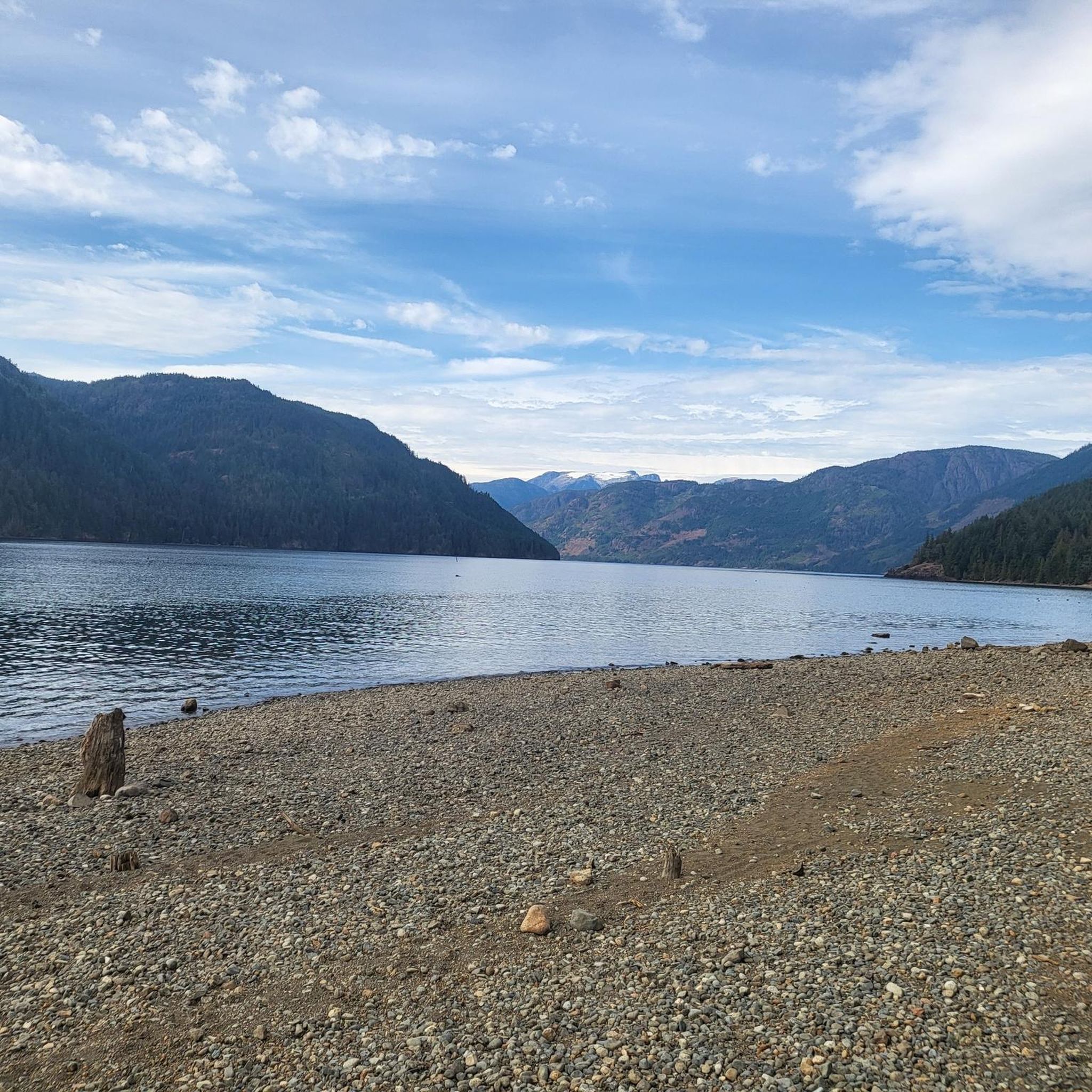
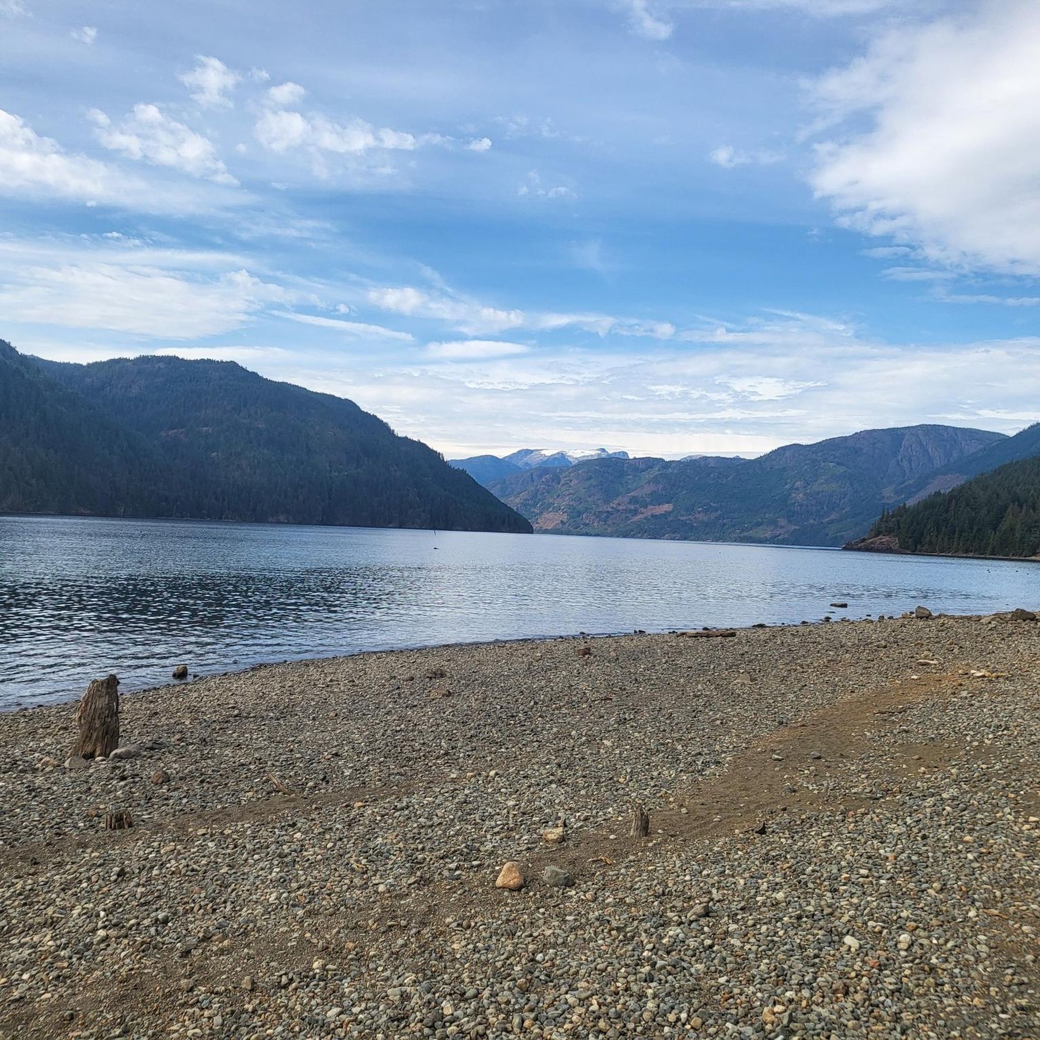
Cyclists can enjoy several natural attractions. The centerpiece is Tsable Lake, a beautiful large alpine lake. Routes also pass by the Cumberland Reservoir. From Tsable Lake, a descent can lead to views of Tsable Twin Falls. The entire area provides classic Pacific Northwest woodland and mountain scenery, with diverse flora and fauna to observe.
Are there circular touring cycling routes in Tsable Lakes Woodlands?
Yes, several touring cycling routes in Tsable Lakes Woodlands are circular. Examples include the Metcalf Bay – Boyle Point Protected Area loop from Buckley Bay, the Shingle Spit – Ford's Cove Marina loop from South Island Highway at Kingfisher Resort (NB), and the Crown Land Reserve loop from South Island Highway at Gartley Road (NB). These loops allow you to start and end at the same point, offering varied scenery along the way.
What do other touring cyclists say about the routes in Tsable Lakes Woodlands?
The touring cycling routes in Tsable Lakes Woodlands are highly rated by the komoot community, with an average score of 5.0 stars from a few reviews. Over 60 touring cyclists have used komoot to explore the varied terrain, often praising the rugged and scenic landscape, particularly the mountainous terrain and the extensive Pacific Northwest woodland.
What should I bring for a touring cycling trip in Tsable Lakes Woodlands?
Given the logging road terrain, it's advisable to bring a well-maintained touring bicycle suitable for varied surfaces, including potentially rocky and steep sections. Essential gear includes a helmet, repair kit, plenty of water, snacks, and appropriate clothing layers for changing weather. Due to the remote nature of some areas, a first-aid kit and navigation tools are also recommended.
Are there family-friendly touring cycling routes in Tsable Lakes Woodlands?
While the region is known for its logging roads which can be rugged, the Ace Brewing Company – Courtenay Airpark loop from HMCS Gatineau is an easy route that could be suitable for families looking for a less challenging ride. Always assess the specific route conditions and your family's cycling experience before embarking on a tour.
Can I bring my dog on the touring cycling routes in Tsable Lakes Woodlands?
Many logging roads and trails in natural areas like Tsable Lakes Woodlands are generally dog-friendly, especially if dogs are kept on a leash. However, it's always best to check local regulations or specific trail signage for any restrictions, particularly in protected areas or near wildlife habitats. Ensure your dog is accustomed to longer rides and varied terrain.
Are there places to eat or drink near the touring cycling routes in Tsable Lakes Woodlands?
While the immediate Tsable Lakes Woodlands area is quite natural and remote, the nearby town of Cumberland offers amenities. Routes like the Ace Brewing Company – Courtenay Airpark loop from HMCS Gatineau and the Cumberland Brewing Co. – China Bowls loop from Cumberland start or pass near urban areas where you can find cafes, pubs, and other establishments to refuel.
Where can I park to access the touring cycling routes in Tsable Lakes Woodlands?
Access points for the touring cycling routes often begin from various locations around the Tsable Lakes Woodlands area. For routes like the Metcalf Bay – Boyle Point Protected Area loop, you might find parking near Buckley Bay. For routes originating closer to towns, such as the Cumberland Brewing Co. – China Bowls loop, parking would be available within Cumberland. Always check the specific route details on komoot for recommended starting points and parking information.
Most popular routes in Tsable Lakes Woodlands

Get inspired with the komoot mobile app


Explore more
Browse the best Cycling routes in other regions.
