The best mountain hikes around Langsett
5
hikers
3
hikes
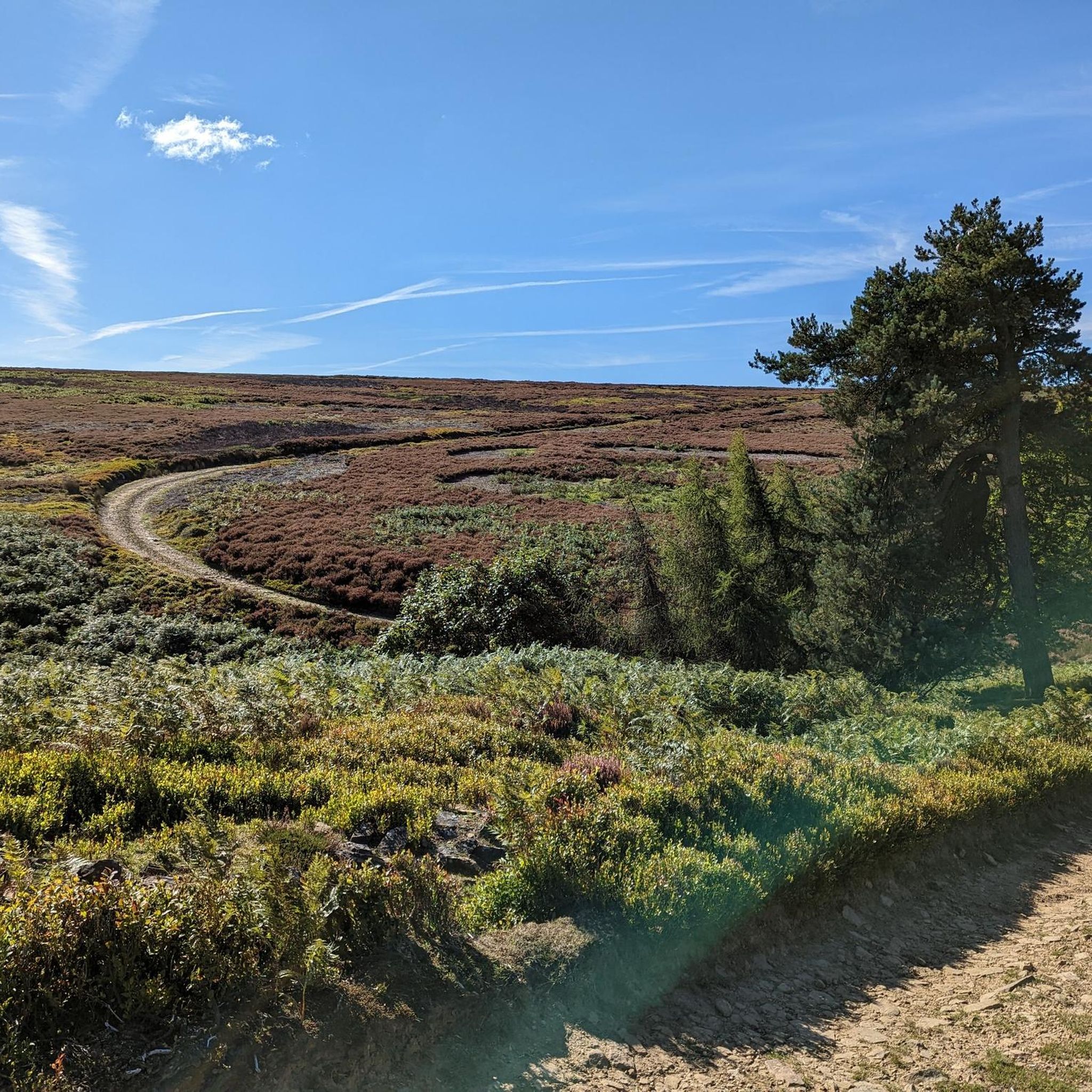
Mountaineering routes around Langsett are situated on the northeastern edge of the Peak District National Park, within the rugged Dark Peak area. This region is characterized by expansive moorland, ancient woodlands, and dense pine forests, offering varied terrain for exploration. Notable gritstone outcrops and prominent hills like Margery Hill and Bleaklow Head provide challenging ascents and panoramic views. The landscape combines well-maintained paths along Langsett Reservoir with rocky, uneven tracks across the moors, creating a diverse environment for physically demanding…
Last updated: June 28, 2026
3
hikers
13.2km
04:04
450m
450m
Moderate mountaineering route. Good fitness required. Easily-accessible paths. Suitable for all skill levels.
11.5km
03:17
280m
280m
Moderate mountaineering route. Good fitness required. Easily-accessible paths. Suitable for all skill levels.

Sign up for free
1
hikers
Moderate mountaineering route. Good fitness required. Easily-accessible paths. Suitable for all skill levels.
1
hikers
14.9km
04:28
440m
440m
Moderate mountaineering route. Good fitness required. Easily-accessible paths. Suitable for all skill levels.
Our route recommendations are based on thousands of hikes, rides, and runs completed by other people on komoot.
Start today with a free account
Your next adventure awaits.
Login or Signup
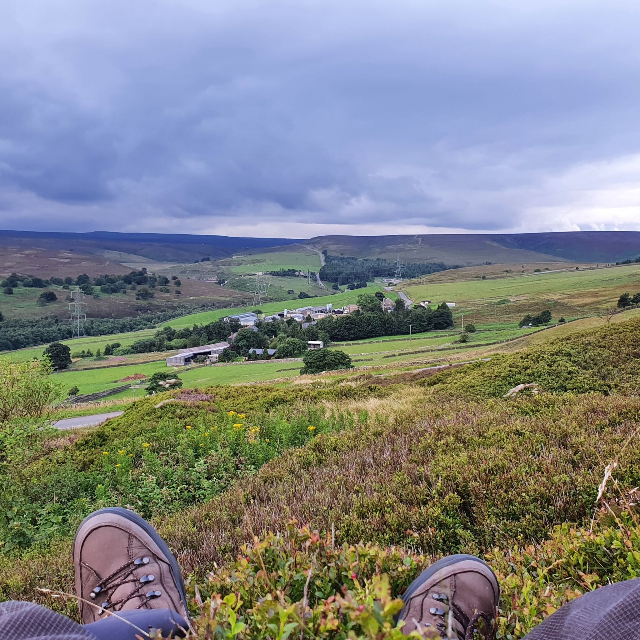
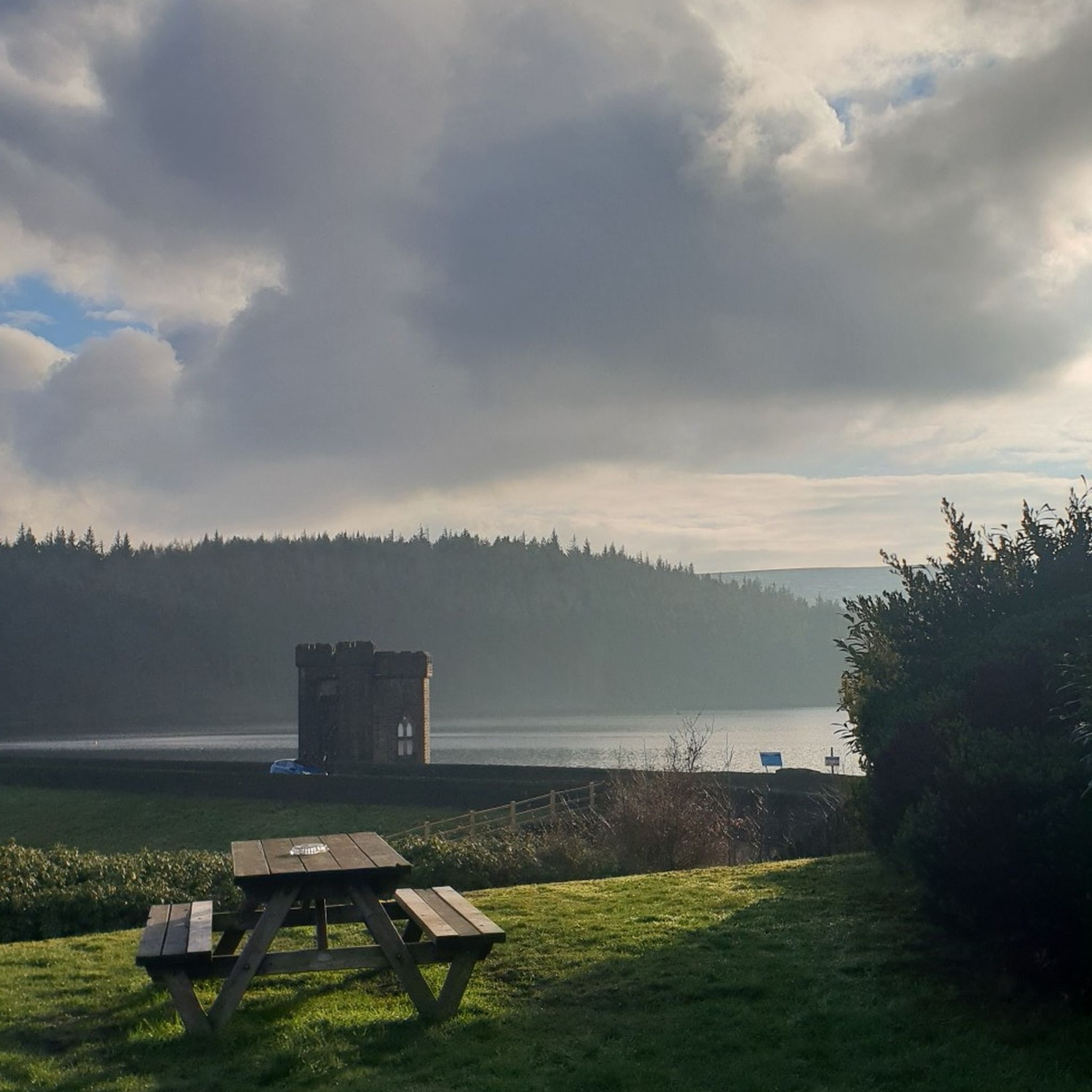
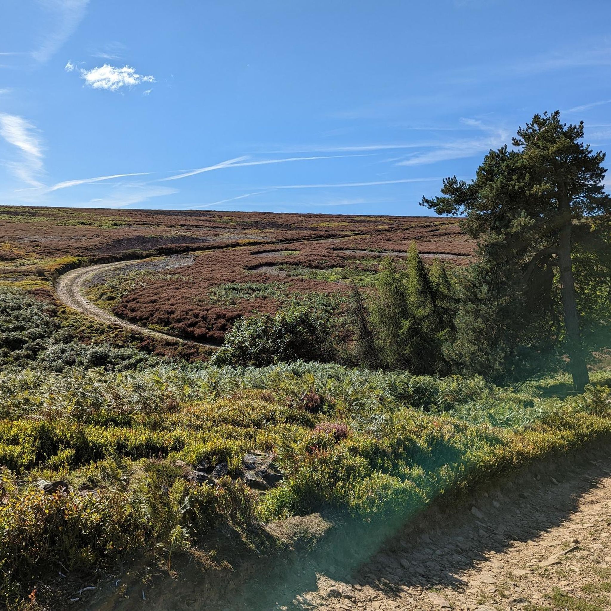
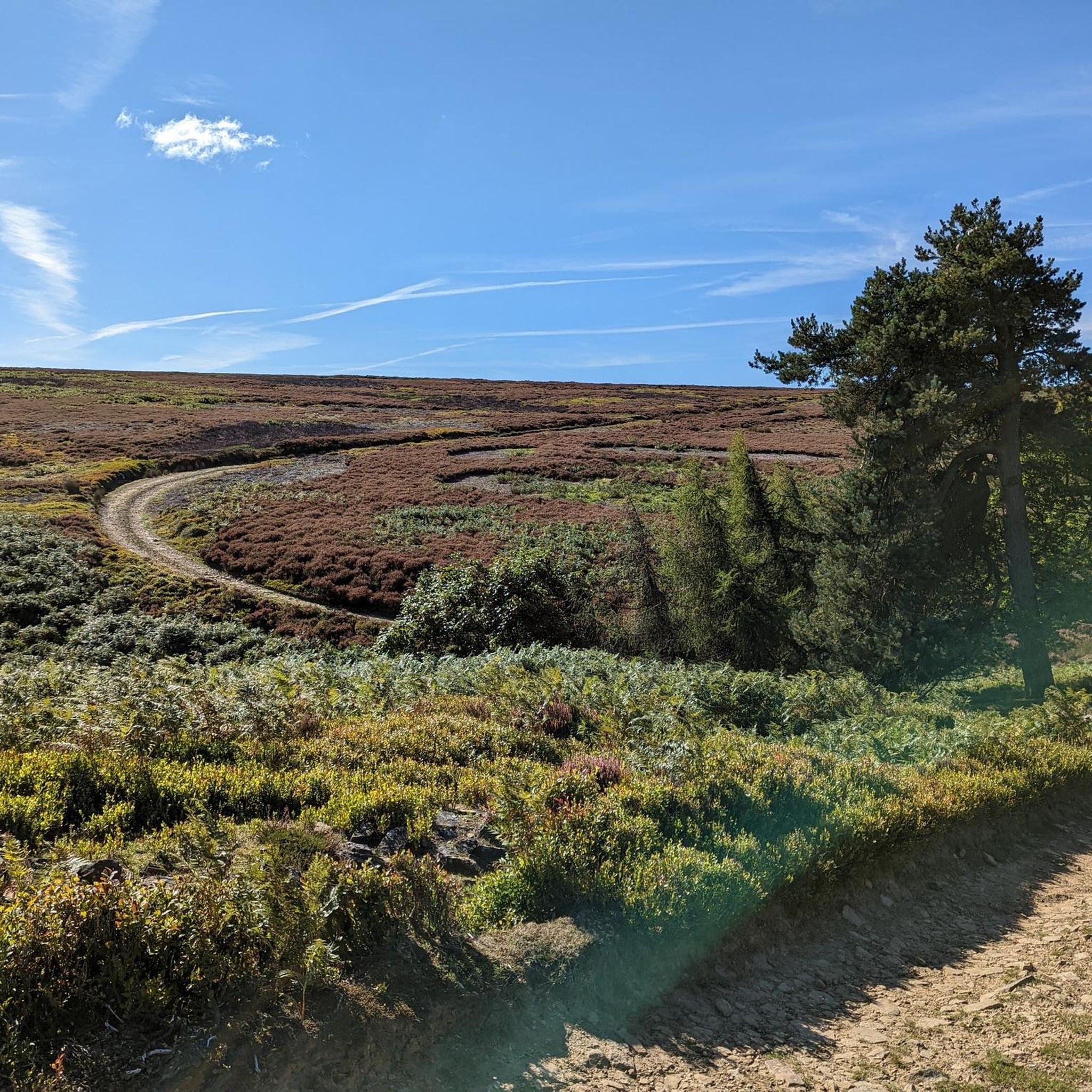

Tips from the Community


beautiful ikkle spot for a tea break and a picture.
0
0

Perfect sunrise and sunset spot. Great little easy-ish hike. Parking in lay-by.
0
0


A bit of a scramble up the rocks to reach the trigger but worth it for the views
0
0

Views for days! But extremely bleak when it wants to be. Nice early tickbox when walking the Pennine Way
0
0

You have a choice on steep start but shorter or a longer gentler climb
0
0
Frequently Asked Questions
How many mountaineering routes are available to explore around Langsett?
There are 5 distinct mountaineering routes detailed in this guide for the Langsett area. These routes vary in difficulty, offering options for different experience levels within the rugged Dark Peak landscape.
Are there any easy mountaineering routes suitable for beginners in Langsett?
Yes, for those new to mountaineering or seeking a less strenuous option, the Mountaineering loop from Snake Pass is rated as easy. It's a 3.7-mile (6.0 km) trail that typically takes about 1 hour 40 minutes to complete, leading through varied terrain.
What are some challenging mountaineering routes around Langsett?
For a more demanding experience, consider the Wain Stones (Kissing Stones) – Torside Clough loop from Crowden. This difficult 8.0-mile (12.9 km) route involves significant elevation gain and traverses rugged moorland, offering expansive views. Another challenging option is the 13-mile 'Margery Hill + Outer Edge trigs' route from Langsett Reservoir, which also features considerable elevation gain over moorland terrain.
Are there any circular walks around Langsett Reservoir?
While this guide focuses on mountaineering routes, the Langsett Reservoir itself offers well-maintained paths suitable for various abilities, including circular options. The reservoir is a central feature of the area, and its shorelines provide pleasant walks with stunning vistas across the water and surrounding countryside.
What points of interest or landmarks can I see along the mountaineering routes?
The routes in this guide often lead to prominent natural features and viewpoints. You might encounter gritstone outcrops, significant peaks like Margery Hill (546m) and Outer Edge, or the rugged moorland plateau of Bleaklow Head. Specific routes like the Back Tor Trig Point – Derwent Edge loop from Hallfield offer breathtaking views and interesting rock formations. The Laddow Rocks – Black Hill Trig Point loop from Crowden leads to a prominent trig point with wide vistas. You can also find highlights like Langsett Reservoir and Derwent Dam nearby.
Is Langsett a good place for dog-friendly walks?
Langsett offers many opportunities for dog walking, particularly around the reservoir and in the surrounding woodlands. However, as much of the area is open moorland and farmland, it's crucial to keep dogs on a lead, especially during lambing season or when livestock are present, to protect wildlife and farm animals. Always follow local signage regarding dog restrictions.
Are there any family-friendly or pushchair-friendly walks near Langsett?
While the mountaineering routes in this guide are generally not suitable for pushchairs due to varied and often rugged terrain, the paths directly around Langsett Reservoir are typically well-maintained and flatter, making them more accessible for families with pushchairs or younger children. The ancient woodlands also offer gentler trails away from the open moorland.
What is the best time of year to go mountaineering in Langsett?
The best time to visit Langsett for mountaineering is generally from late spring to early autumn (May to October) when the weather is milder and the days are longer. However, the Dark Peak moorland can be enjoyed year-round. Be prepared for rapidly changing weather conditions, even in summer. Winter walking is possible but requires appropriate gear, navigation skills, and awareness of shorter daylight hours and potentially harsh conditions on exposed moorland.
Where can I find parking for Langsett Reservoir walks and nearby routes?
There are several parking areas available around Langsett Reservoir, including a main car park. These provide convenient access to the reservoir paths and serve as starting points for many of the longer routes into the surrounding moorland and woodlands. Specific route starting points may also have smaller, designated parking spots.
Is public transport available to access trails around Langsett?
Public transport options to Langsett are limited, as it's a more remote area on the edge of the Peak District. While some bus services might reach nearby villages like Penistone, direct access to trailheads often requires a car. It's advisable to check local bus schedules if planning to rely on public transport, as services can be infrequent.
Are there any pubs or places to eat near Langsett after a hike?
Yes, after a strenuous hike, you can find welcoming establishments nearby. The village of Langsett itself has a pub, and the nearby town of Penistone offers additional options for food and drink. For more information on local walks and amenities, you might find resources like visitpenistone.co.uk helpful.
What makes mountaineering in Langsett unique compared to other Peak District areas?
Langsett's unique appeal lies in its location within the rugged Dark Peak, offering expansive and often wild moorland experiences. Compared to more famous reservoirs, Langsett is generally quieter, providing a more peaceful and immersive experience. The combination of Dark Peak moorland, ancient woodlands, and gritstone outcrops creates diverse and challenging terrain, ideal for physically demanding outdoor activities akin to strenuous hillwalking and fell running.
Most popular routes around Langsett
Most popular attractions around Langsett

Get inspired with the komoot mobile app


Explore more
Browse the best Mountain Hikes & Routes in other regions.
