The best walks and hikes around Klejtrup Sø
4.7
(6)
60
hikers
13
hikes
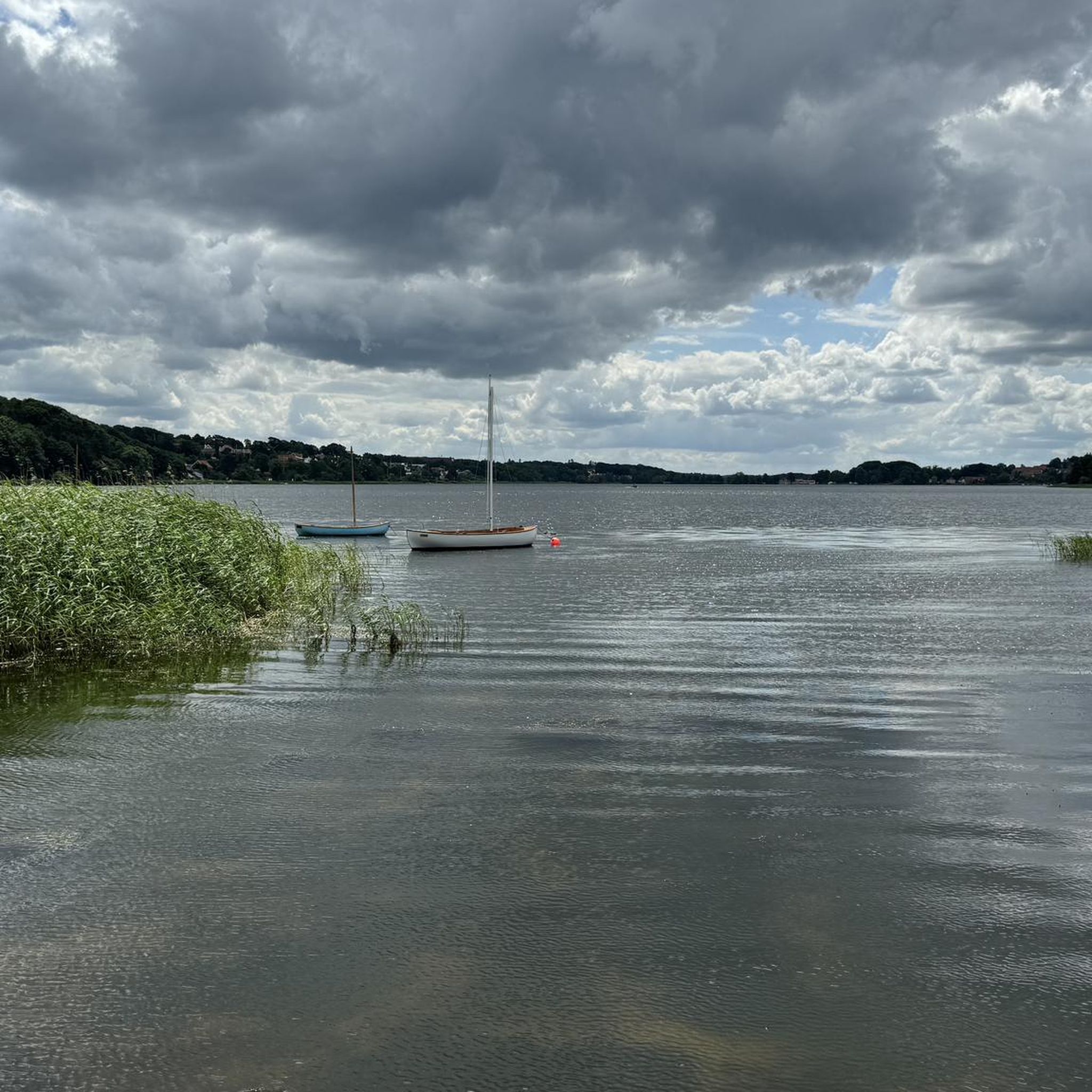
Hiking around Klejtrup Sø offers routes through tranquil freshwater lake environments and rolling landscapes in Jutland, Denmark. The region features a blend of serene natural beauty, including peaceful countryside suitable for observing local birds, and varied terrain with fertile East Jutland moraine hills. A prominent feature is "Verdenskortet" (The World Map), an open-air map constructed in the shallow waters beside the lake.
Best hiking trails around Klejtrup Sø
- The most popular hiking route is Lakeside Dock loop from Vammen,…
Last updated: August 19, 2026
1
hikers
3.45km
00:54
20m
20m
Easy hike. Great for any fitness level. Easily-accessible paths. Suitable for all skill levels.
4
hikers
10.8km
02:49
70m
70m
Moderate hike. Good fitness required. Easily-accessible paths. Suitable for all skill levels.

Sign up for free
4.0
(1)
4
hikers
8.70km
02:18
90m
90m
Moderate hike. Good fitness required. Easily-accessible paths. Suitable for all skill levels.
4.0
(1)
13
hikers
Easy hike. Great for any fitness level. Easily-accessible paths. Suitable for all skill levels.
3
hikers
3.51km
00:57
50m
50m
Easy hike. Great for any fitness level. Easily-accessible paths. Suitable for all skill levels.
Get access to more routes and recommendations from other explorers.
Sign up for free
Already have an account?
Our route recommendations are based on thousands of hikes, rides, and runs completed by other people on komoot.
Start today with a free account
Your next adventure awaits.
Login or Signup
Tips from the Community

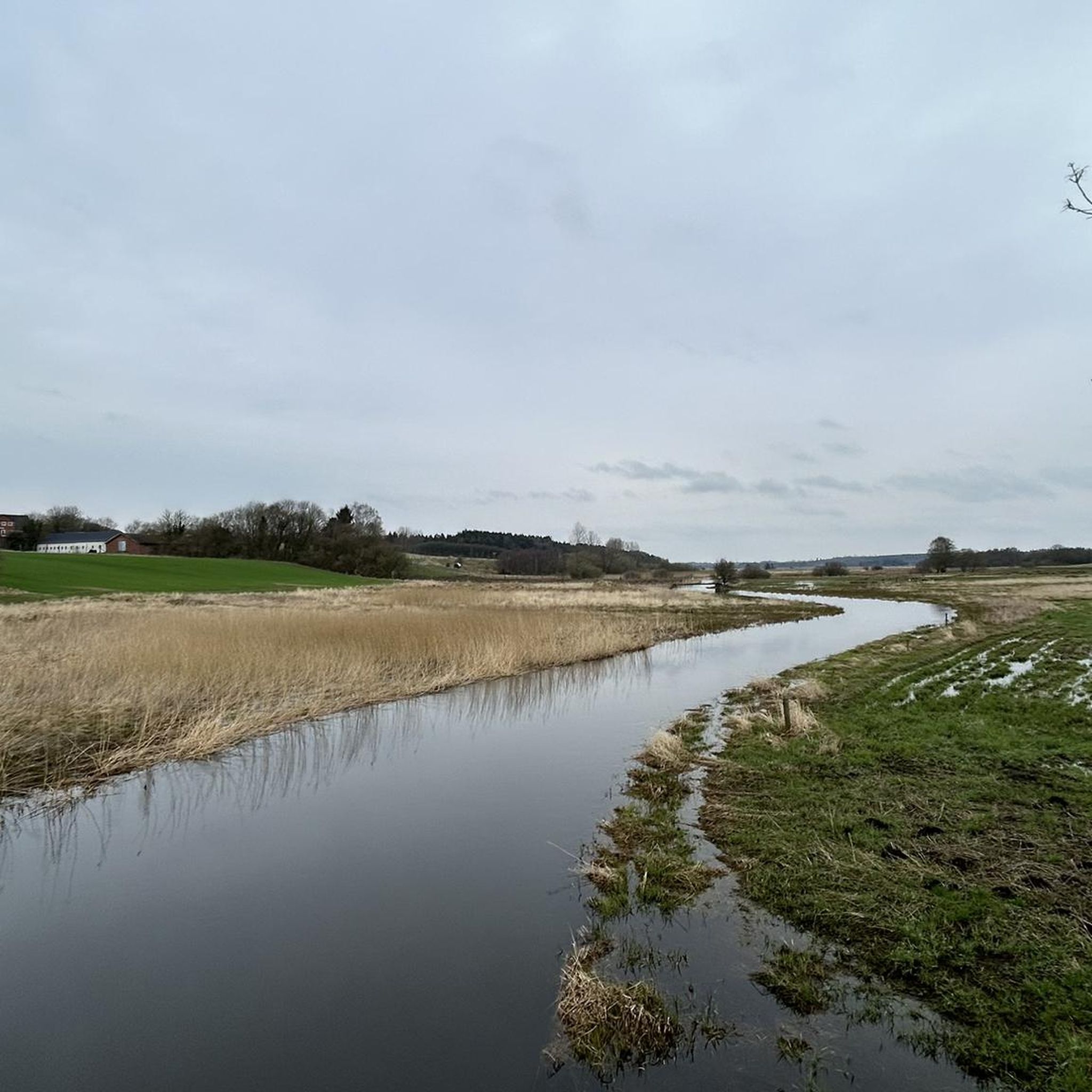
The trail from Lindum takes you to Tjele Langsø, which is Denmark’s longest lake at nearly ten kilometres, situated in a valley formed during the last ice age. The lakeshore features unique groundwater springs and diverse flower meadows, providing a quiet habitat for wildlife like herons, ospreys, and kingfishers, while nearby jetties offer perfect spots for fishing and swimming.
0
0


I did it on a gravel bike, which was also beautiful and doable, but the sand was quite deep in places. So, I'd rather hike! Very beautiful!
0
0

This gravel track makes every biker's heart beat faster.
1
0

Within the present-day Danish realm, we know of five ring castles from the time of Harald Bluetooth. At Fyrkat, an earthwork marks the site of the castle, and right next to it is a reconstructed longhouse. The Viking farm at Fyrkat consists of nine reconstructed houses from a manor house from the time of Harald Bluetooth. On selected days in spring and summer, there are lively workshops and activities here. https://nordjyskemuseer.dk/de/u/vikingemuseet-fyrkat-de/
3
0
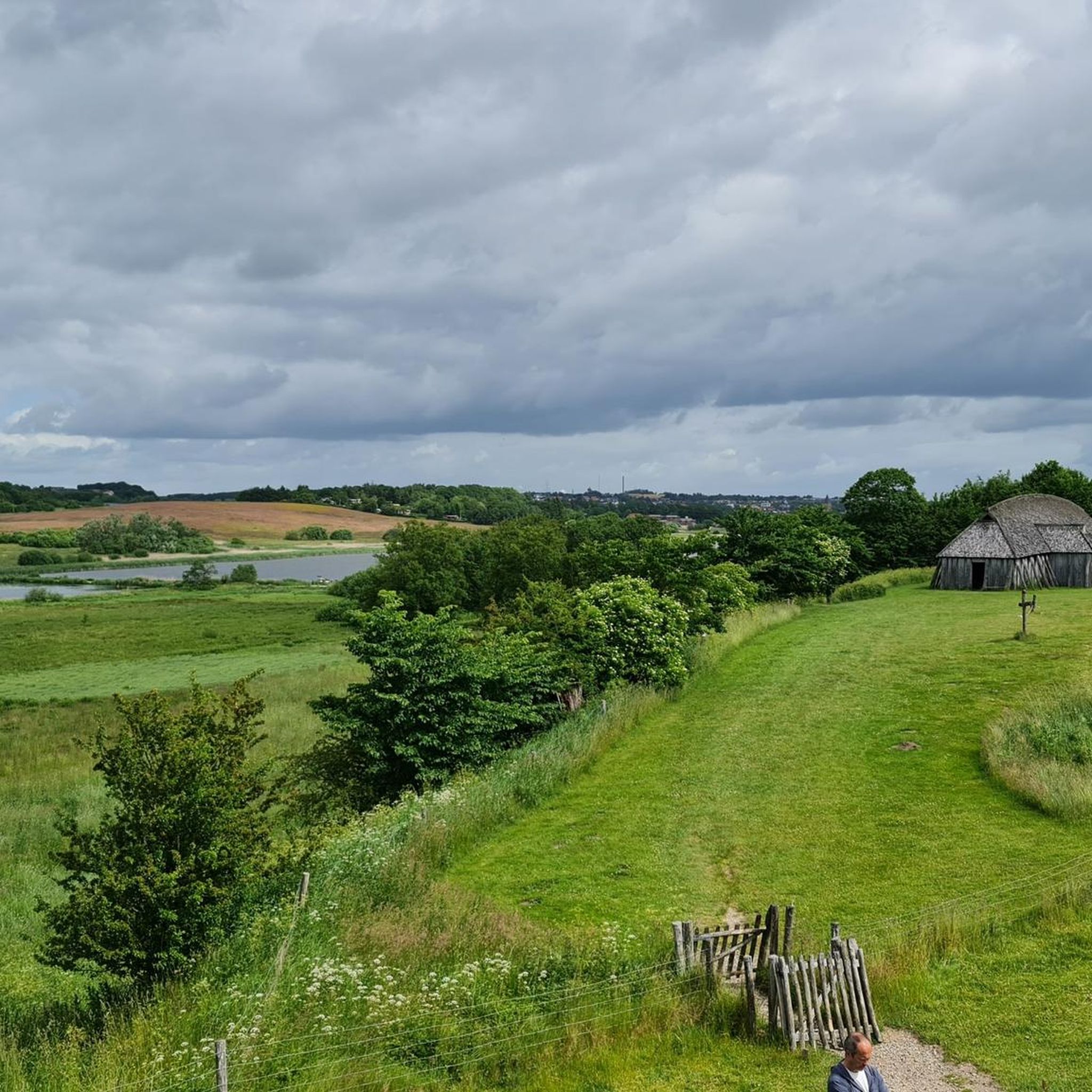
Experience the Viking Age first hand at Fyrkat, one of Denmark's five ring castles. Fyrkat Castle was built in 980 under King Harald Bluetooth. None of the original ring castles still exist today, but at Fyrkat an earthen rampart marks the place where the ring castle surrounded the original 16 longhouses. The position of the houses is now marked with white stones. Just outside the castle, one of the longhouses has been reconstructed. In the immediate vicinity of Fyrkat Castle is the Viking settlement, which consists of nine reconstructed houses. Together, these form a manor house as we know it from Harald Bluetooth's time. Both houses and workshops, including the smithy, are built of oak and have clay-plastered walls and thatched roofs. During the summer, there are activities on selected days at the Viking settlement, where you will also find a visitor center, a museum shop and a mythological playground. Fyrkat is on the UNESCO list of intangible world heritage sites, along with the four other Danish ring castles – Aggersborg, Borgring, Nonnebakken and Trelleborg. https://nordjyskemuseer.dk/de/u/vikingemuseet-fyrkat-de/
2
0

In the immediate vicinity of Fyrkatborgen is the Viking farm, which consists of nine reconstructed houses, which together form a manor house as known from Harald Bluetooth's time.
1
0
Frequently Asked Questions
What is the typical terrain and difficulty of hikes around Klejtrup Sø?
The hiking trails around Klejtrup Sø offer a blend of serene natural beauty, featuring tranquil freshwater lake environments and rolling landscapes. You'll find peaceful countryside, suitable for observing local birds, and varied terrain that includes fertile East Jutland moraine hills. Most routes are considered easy to moderate, with options suitable for different fitness levels.
Are there any notable landmarks or viewpoints along the hiking trails?
Yes, a prominent and unique attraction is Verdenskortet (The World Map), an open-air map meticulously constructed from stones and soil in the shallow waters beside the lake. You can literally walk across miniature continents. For more information, you can visit Verdenskortet on Wikipedia. Additionally, the historical site of Brattingsborg, a high motte from the early Middle Ages, is located near the lake and offers another point of interest.
Are the hiking trails around Klejtrup Sø suitable for families with children?
Absolutely. Klejtrup Sø is known for its accessible and family-friendly routes. Many trails are perfect for short hikes and outings with children. The area around Verdenskortet also features a playground and a petting zoo, making it a comprehensive family destination.
Can I bring my dog on the trails around Klejtrup Sø?
While the region is generally welcoming to outdoor activities, specific regulations for dogs on trails can vary. It's always recommended to keep dogs on a leash and clean up after them to respect wildlife and other hikers. The peaceful countryside offers a pleasant environment for walks with your canine companion.
What is the best time of year to hike around Klejtrup Sø?
Klejtrup Sø offers appealing hiking opportunities throughout the warmer months, from spring to autumn, when the weather is mild and the natural scenery is at its most vibrant. Spring brings blooming flora, while autumn showcases beautiful fall colors. The lake provides picturesque views year-round, but specific trail conditions may vary with seasons.
Are there easy hiking options for beginners or casual walkers?
Yes, Klejtrup Sø has numerous easy routes perfect for beginners or those looking for a casual stroll. For example, the Hørby Plantage loop from Hørby is an easy 1.8-mile (2.8 km) path leading through a peaceful forest. Another easy option is the Fyrkat Viking Museum Village – Fyrkat Viking Fortress loop from Hobro, which is 1.3 miles (2.2 km) and takes about 35 minutes.
What are the typical lengths of hikes around Klejtrup Sø?
Hikes around Klejtrup Sø vary in length, catering to different preferences. You can find shorter, easy paths like the Fyrkat Viking Fortress – Fyrkat Viking Museum Village loop from Hobro at 2.0 km, or moderate routes such as the Lakeside Dock loop from Vammen, which is 8.7 km and takes about 2 hours 18 minutes to complete.
Are there amenities like cafes or picnic areas near the hiking trails?
Yes, particularly around the unique Verdenskortet attraction. This area serves as an epicenter with a park that features picnic areas, a café, and a playground, making it a convenient stop for refreshments and relaxation during your hike.
What do other hikers enjoy the most about hiking in Klejtrup Sø?
The area is highly rated by the komoot community, with an average score of 4.7 stars. Reviewers often praise the serene lake environment, the peaceful countryside, and the unique experience of visiting Verdenskortet. The variety of accessible and family-friendly trails also receives positive feedback.
Are there circular walking routes available around Klejtrup Sø?
Yes, many of the trails around Klejtrup Sø are designed as loops, offering convenient circular walks. A specific route measuring 6.72 km circles Klejtrup Sø itself, providing a dedicated path for those wishing to explore the lake's perimeter. Other examples include the Hørby Plantage loop from Hørby and the Gravel road near Fykat Engsø loop from Hobro.
How many hiking trails are there in Klejtrup Sø?
There are over 10 hiking trails available around Klejtrup Sø, offering a variety of options for different preferences and abilities. These include 7 easy routes and 5 moderate routes, ensuring there's something for everyone.
Is there parking available for hikers near Klejtrup Sø?
While specific parking locations are not detailed, popular attractions like Verdenskortet typically offer parking facilities for visitors. For other trailheads, local parking options may be available, often indicated by signage. It's advisable to check local information or maps for designated parking areas before your visit.
Most popular routes around Klejtrup Sø

Get inspired with the komoot mobile app


Explore more
Browse the best Hikes in other regions.
