The best waterfall hikes and walks around Stützerbach
4.7
(1267)
4,399
hikers
16
hikes
Waterfall hiking trails around Stützerbach traverse a landscape characterized by dense woodlands, rolling hills, and numerous streams that feed into picturesque cascades. The region's topography, shaped by its position in the Thuringian Forest, offers varied elevations and natural water features. Hikers can expect paths that wind through forested valleys and along waterways, providing opportunities to encounter multiple waterfalls.
Best waterfall hiking trails around Stützerbach
- The most popular waterfall hiking route is Knöpfelstaler Pond – Kickelhahn Tower loop from Stützerbach,…
Last updated: October 7, 2026
4.7
(81)
201
hikers
16.0km
04:41
450m
460m
Moderate hike. Good fitness required. Easily-accessible paths. Suitable for all skill levels.
4.7
(44)
140
hikers
3.71km
01:06
110m
110m
Easy hike. Great for any fitness level. Easily-accessible paths. Suitable for all skill levels.

4.9
(40)
151
hikers
9.08km
02:35
200m
200m
Moderate hike. Good fitness required. Easily-accessible paths. Suitable for all skill levels.
4.7
(21)
46
hikers
6.19km
01:51
190m
190m
Easy hike. Great for any fitness level. Easily-accessible paths. Suitable for all skill levels.
4.2
(5)
44
hikers
Easy hike. Great for any fitness level. Easily-accessible paths. Suitable for all skill levels.
Get access to more routes and recommendations from other explorers.
Already have an account?
Our route recommendations are based on thousands of hikes, rides, and runs completed by other people on komoot.
Start today with a free account
Your next adventure awaits.

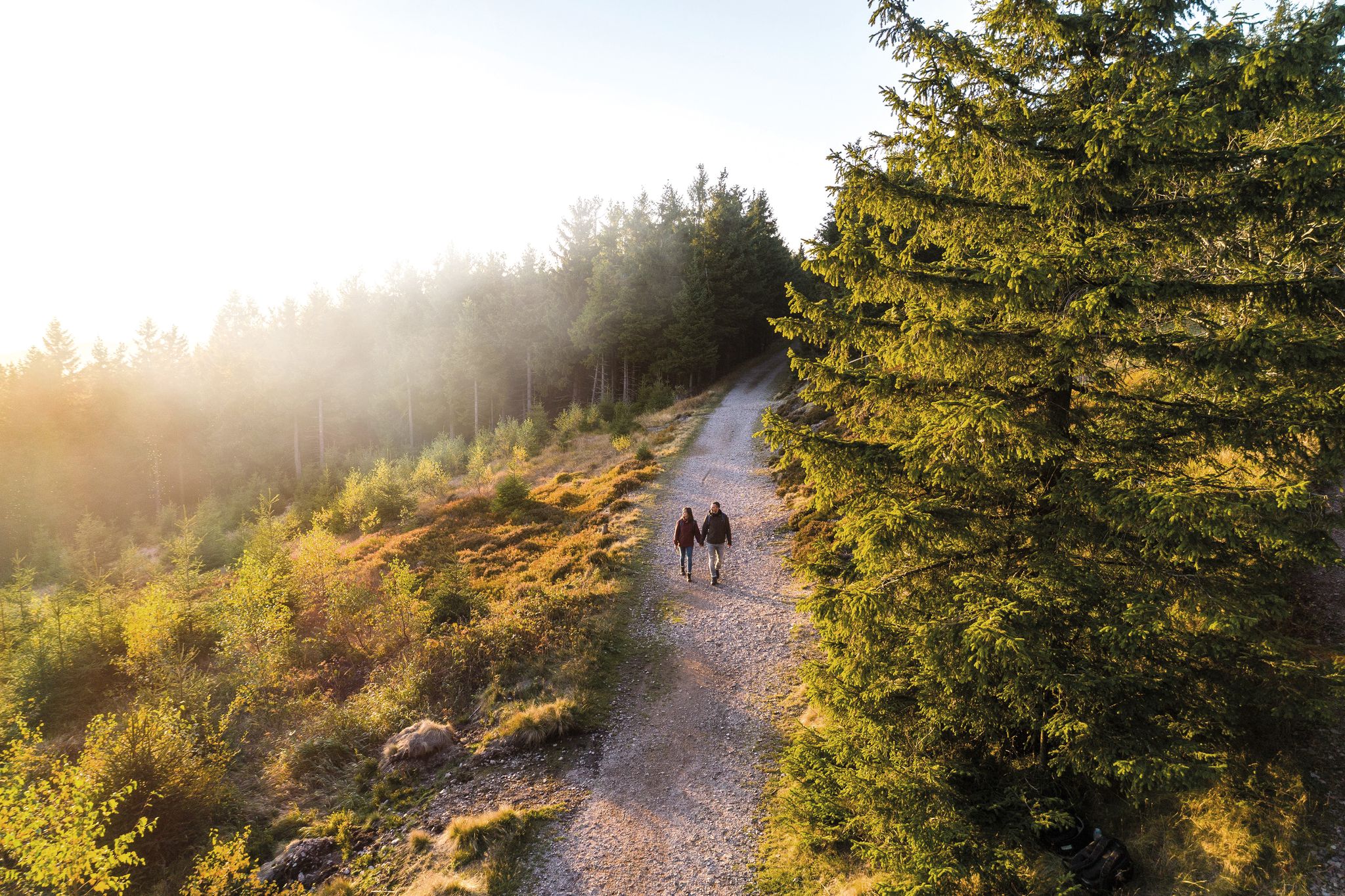
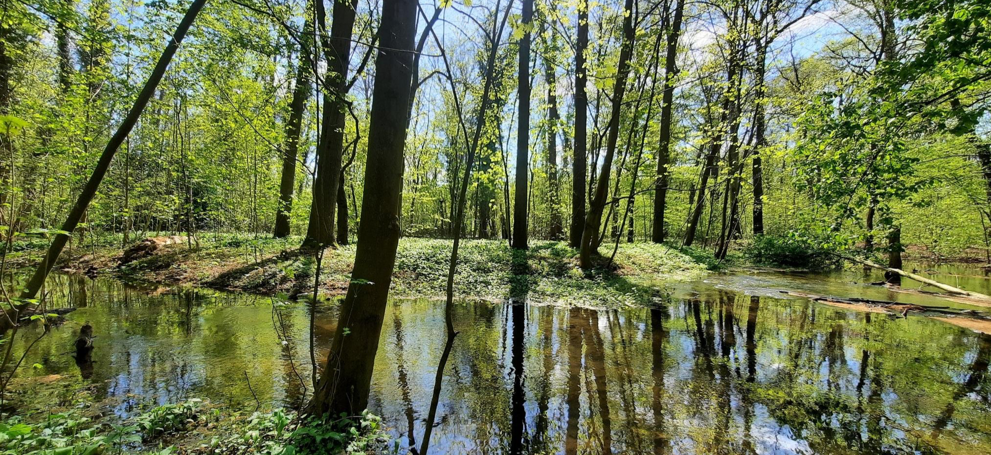
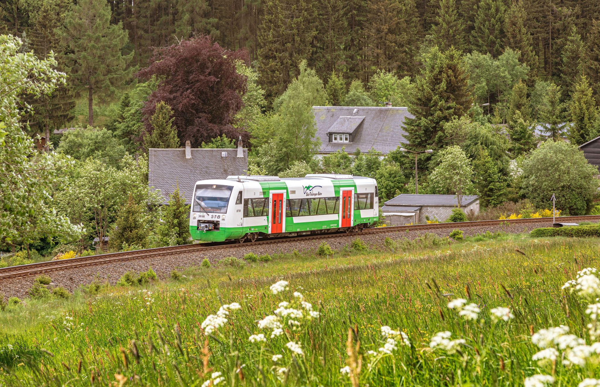
Other adventures around Stützerbach


Tips from the Community

We passed by there already in the dark. It is really completely dark there. Stamping box has been moved
0
0

Great view, no matter the weather 💚
1
0

...you have to see it to understand how hunting parties used to pass the time...
0
0

Here you feel like you're in a jungle. A great place.
0
0
A hiking hut with a great view. It's also very easy to imagine a place where people don't understand each other in bad weather.
1
0

A great rest area with a beautiful view and very clean.
4
0

Frequently Asked Questions
How many waterfall hiking trails are available around Stützerbach?
There are over 15 distinct waterfall hiking trails around Stützerbach, ranging from easy strolls to more moderate excursions. These routes are highly rated by the komoot community, with an average score of 4.7 stars from nearly 1000 reviews.
Are there family-friendly waterfall walks in Stützerbach?
Yes, Stützerbach offers several easy, family-friendly waterfall walks. A great option is the Finsteres Loch Gorge – Knöpfelstaler Pond loop from Stützerbach, which is an easy 2.3 miles (3.7 km) path exploring natural rock formations and flowing water. Another easy route is the Knöpfelstaler Pond – Hirtenwiese Hut loop from Stützerbach, covering about 3.8 miles (6.2 km).
What is the best season to go waterfall hiking in Stützerbach?
Waterfall hiking in Stützerbach is enjoyable throughout the year, but each season offers a unique experience. Spring brings lush greenery and strong water flow from snowmelt, while autumn provides stunning foliage colors. Summer is ideal for warmer weather hikes, and winter can transform the cascades into beautiful ice formations, though trails may be more challenging due to snow and ice.
Are the waterfall trails around Stützerbach suitable for dogs?
Many of the trails around Stützerbach are suitable for dogs, as they traverse natural forested areas and streams. It's always recommended to keep dogs on a leash, especially in nature reserves or near wildlife. Ensure your dog is comfortable with varied terrain and bring enough water for both of you. The Faulenzerlucht Rocky Outcrop – Finsteres Loch Gorge loop from Stützerbach is a shorter, easy option that can be great for a walk with your canine companion.
Are there circular waterfall walks available in Stützerbach?
Yes, many of the waterfall hikes in Stützerbach are designed as circular routes, allowing you to start and end at the same point without retracing your steps. For example, the Breitengrunder Pond – Helms Waterfall loop from Stützerbach is a popular 5.6 miles (9.0 km) circular trail that takes you through forested areas to the Helms Waterfall.
What kind of terrain can I expect on waterfall hikes in Stützerbach?
The terrain around Stützerbach is characterized by dense woodlands, rolling hills, and numerous streams. You can expect paths that wind through forested valleys and along waterways, with varied elevations. Trails can range from well-maintained forest paths to more natural, uneven surfaces, especially closer to the waterfalls and gorges.
What should I wear for waterfall hiking in Stützerbach?
For waterfall hiking in Stützerbach, it's advisable to wear sturdy, waterproof hiking boots with good grip, as trails can be wet or muddy, especially near the cascades. Layered clothing is recommended to adapt to changing weather conditions, and a waterproof jacket is always a good idea. Don't forget a backpack with water, snacks, and a map or navigation device.
Are there any hidden gem waterfall hikes or lesser-known spots in the area?
While specific 'hidden gems' are often discovered by local exploration, the region itself, being part of the Thuringian Forest, offers many tranquil spots. Exploring the smaller tributaries and less-trafficked paths around the main waterfall areas can often lead to peaceful, secluded cascades. The guide highlights several routes that take you through less crowded sections of the forest.
What other attractions can I explore near the waterfall trails in Stützerbach?
Beyond the waterfalls, the Stützerbach region offers a variety of natural and historical attractions. You can explore fascinating geological features like the Kammerlöcher Rock Formations or visit historical sites such as Elgersburg Castle. For those interested in caves, the Burnt Stone Tunnel is also nearby.
Are there any cafes or refreshment stops along the waterfall hiking routes?
While specific cafes directly on every waterfall trail might be limited, many routes pass through or near Stützerbach itself, where you can find dining options. Some longer routes might also lead past huts or guesthouses in the wider Thuringian Forest area that offer refreshments. It's always a good idea to check the route details or local information for specific establishments before you set out.
How long do waterfall hikes typically take in Stützerbach?
The duration of waterfall hikes in Stützerbach varies significantly depending on the route's length and difficulty. Easy trails like the Finsteres Loch Gorge – Knöpfelstaler Pond loop can be completed in about 1 hour 5 minutes, while moderate routes such as the Breitengrunder Pond – Helms Waterfall loop typically take around 2 hours 32 minutes. Longer, more challenging routes will naturally require more time.
Most popular routes around Stützerbach
Most popular attractions around Stützerbach

Get inspired with the komoot mobile app


Explore more
Browse the best Hikes in other regions.
