The best mountain hikes around Unterweitersdorf
16
hikers
1
hike
Mountaineering routes around Unterweitersdorf traverse a landscape characterized by rolling hills, dense woodlands, and open meadows. The region, situated near Bezirk Freistadt, offers varied terrain suitable for different skill levels. Elevations are generally moderate, with several routes leading to local summits like Pfenningberg and Buchberg. The area provides a network of trails for exploring the natural environment.
Best mountaineering routes around Unterweitersdorf
- The most popular mountaineering route is Buchberg – Elzer Stub'n loop from Kefermarkt, a 5.6 miles (9.0…
Last updated: October 9, 2026
5
hikers
8.99km
02:45
320m
320m
Moderate mountaineering route. Good fitness required. Easily-accessible paths. Suitable for all skill levels.
6
hikers
Moderate mountaineering route. Good fitness required. Easily-accessible paths. Suitable for all skill levels.

3
hikers
Moderate mountaineering route. Good fitness required. Easily-accessible paths. Suitable for all skill levels.
Our route recommendations are based on thousands of hikes, rides, and runs completed by other people on komoot.
Start today with a free account
Your next adventure awaits.
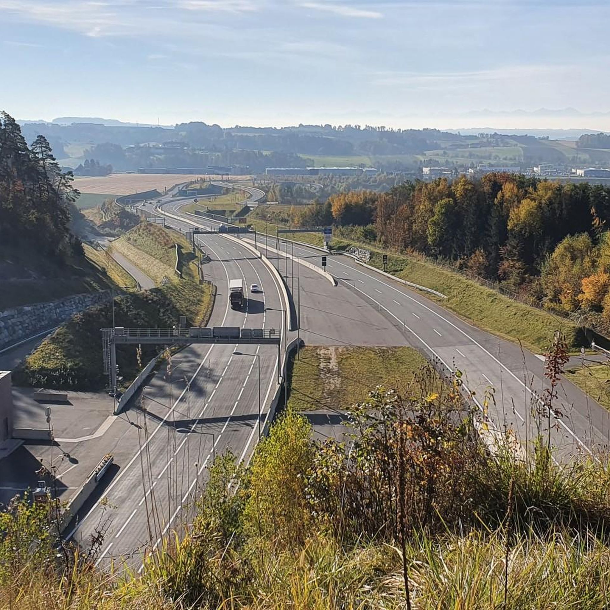
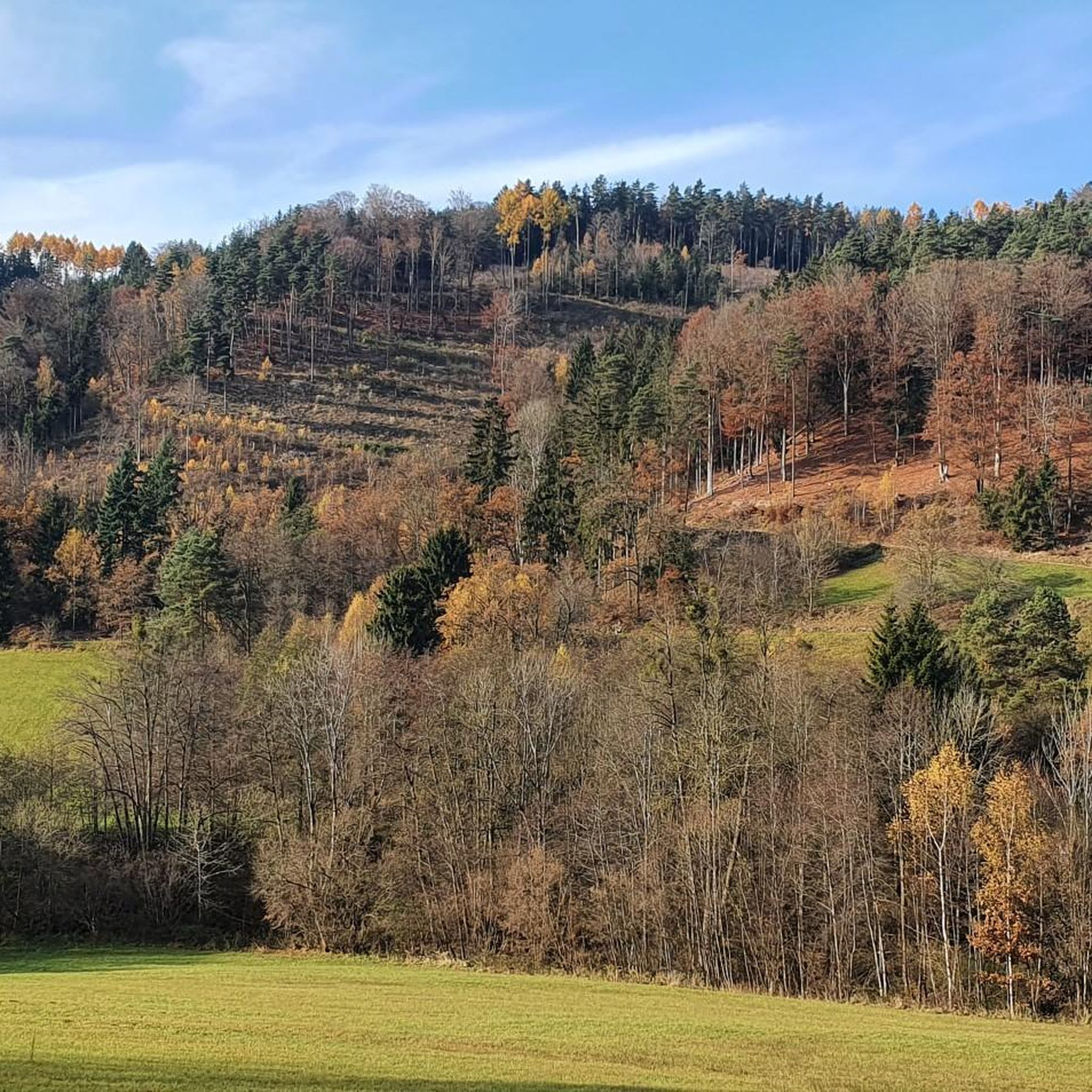
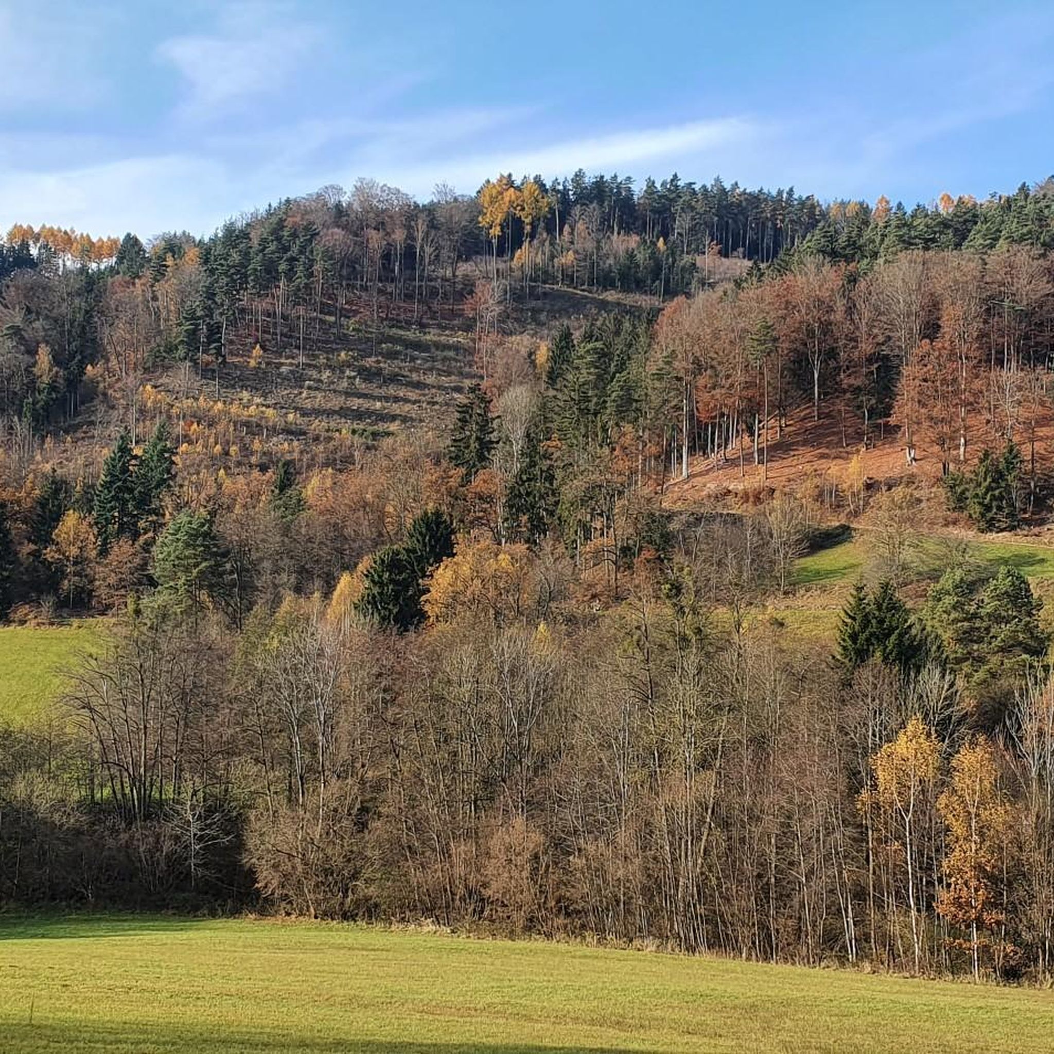
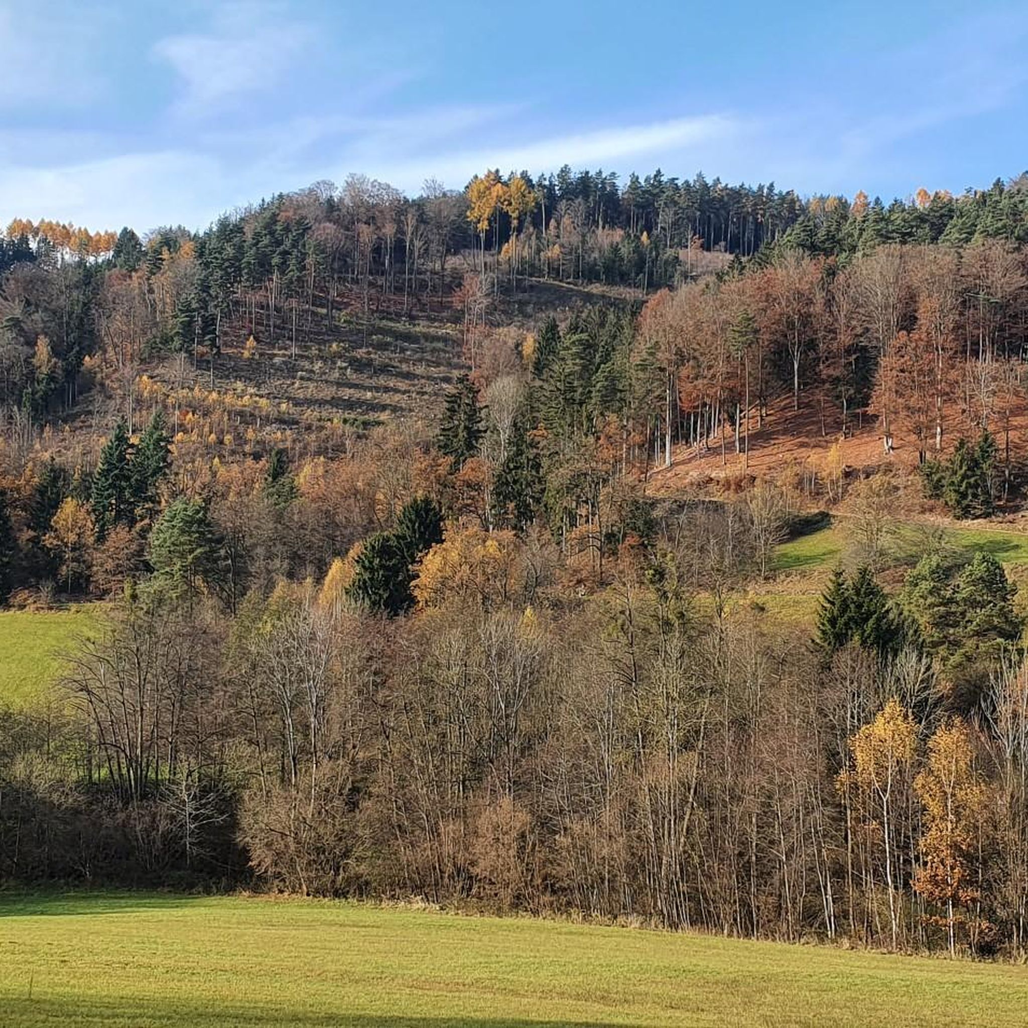

Tips from the Community

The mouflon herd inhabits the pulpit.
1
0
A Linz city summit for every season and every type of weather.
2
0

Great view over Linz. Industrial area and harbor
0
0

Meanwhile, the easier Dachstrail towards Daxleitner starts here - only the last part is tricky due to loose stones in the ditch.
2
1

Perfect view of Linz and the Alps
0
0

Unfortunately, the Elzer Stub'n doesn't have a tenant yet. It's a shame:
0
0

Beautiful viewpoint with very interesting information. The perfect place for a well-deserved snack.
2
0

Because there is a nice cafe nearby!
0
0
Frequently Asked Questions
Are there mountaineering routes suitable for beginners in Unterweitersdorf?
Yes, the region offers varied terrain, including options for beginners. An excellent choice is the Pfenningberg Summit Cross – Three Beeches Cross loop from Glider airfield Linz-East, which is rated as easy and takes about 51 minutes to complete.
What are some more challenging mountaineering routes around Unterweitersdorf?
For those seeking a moderate challenge, routes like the Buchberg – Elzer Stub'n loop from Kefermarkt (5.6 miles, 2h 45m) or the Pfenningberg Summit Cross – Finstergrabenbach Bike Route loop from Johannes Kepler University Linz (5.8 miles, 3h) offer good elevation gains and longer distances.
What is the typical duration for mountaineering routes in Unterweitersdorf?
The duration of routes in Unterweitersdorf varies. Shorter, easier routes can be completed in under an hour, while moderate trails typically range from 2.5 to 3 hours. For example, the Pfenningberg Summit loop from Plesching takes around 2 hours 15 minutes.
Are there any circular mountaineering routes in the Unterweitersdorf area?
Yes, many of the mountaineering routes around Unterweitersdorf are circular, allowing you to start and end at the same point. Examples include the Buchberg – Elzer Stub'n loop from Kefermarkt and the View of Linz from Stoettner – View of Linz Industrial Area loop from Pleschinger Austernbank.
What kind of wildlife might I encounter on mountaineering trails near Unterweitersdorf?
The region's dense woodlands and open meadows provide habitats for various wildlife. While specific sightings are never guaranteed, you might spot common forest animals such as deer, various bird species, and smaller mammals. Maintaining a quiet presence increases your chances of observation.
Are there any cafes or restaurants near the mountaineering trails in Unterweitersdorf?
Yes, there are options for refreshments. For instance, the Pelmbergstüberl and the Roadlhof Inn are nearby and offer opportunities for a break and a meal after your mountaineering tour.
What are some interesting landmarks or points of interest along the mountaineering routes?
Many routes lead to local summits like Pfenningberg and Buchberg, offering panoramic views. You can also find points of interest such as the Three Beeches Cross and the Hoh-Haus at Buchberg Observation Tower, which provide scenic stops.
What is the best season for mountaineering near Unterweitersdorf?
The region's rolling hills and woodlands are enjoyable throughout much of the year. Spring and autumn offer pleasant temperatures and vibrant scenery, while summer provides longer daylight hours. Winter mountaineering is possible, but requires appropriate gear and awareness of conditions.
What gear is typically required for mountaineering in Unterweitersdorf?
For most routes, standard hiking gear is sufficient: sturdy hiking boots, weather-appropriate clothing, water, snacks, and a map or GPS device. For winter conditions, additional gear like microspikes or snowshoes might be necessary, depending on snow depth and ice.
How many mountaineering routes are available around Unterweitersdorf on komoot?
Komoot features several mountaineering routes around Unterweitersdorf, with options for various difficulty levels and durations. The guide highlights a selection of these to showcase the best of the region's landscape.
Are there any hidden gem mountaineering routes in Unterweitersdorf that are less frequented?
While the listed routes are popular for good reason, exploring the broader network of trails in the region can reveal quieter paths. Many local trails traverse dense woodlands and open fields, offering a peaceful experience away from the main routes. Check komoot's map for less-trafficked segments.
Most popular routes around Unterweitersdorf
Most popular attractions around Unterweitersdorf

Get inspired with the komoot mobile app


Explore more
Browse the best Mountain Hikes & Routes in other regions.
