The best mountain hikes around Wilhering
58
hikers
12
hikes
Mountaineering routes around Wilhering are characterized by the rolling hills and river valleys of Upper Austria. The region is shaped by the Danube River, offering routes along its banks and through the dense Kürnberg Forest. While technical climbing is limited, the area features several peaks like Koglerauer Spitz and Pfenningberg, providing challenging hikes and panoramic views. The terrain includes well-marked paths, with some sections requiring surefootedness.
Best mountaineering routes around Wilhering
- The most popular mountaineering route is Gis Transmitter and…
Last updated: June 22, 2026
14
hikers
16.6km
05:11
660m
660m
Hard mountaineering route. Very good fitness required. Easily-accessible paths. Suitable for all skill levels.
8
hikers
14.2km
04:15
350m
350m
Moderate mountaineering route. Good fitness required. Mostly accessible paths. Sure-footedness required.

Sign up for free
9
hikers
7.74km
02:12
180m
180m
Moderate mountaineering route. Good fitness required. Easily-accessible paths. Suitable for all skill levels.
6
hikers
13.2km
04:00
340m
340m
Moderate mountaineering route. Good fitness required. Mostly accessible paths. Sure-footedness required.
6
hikers
Moderate mountaineering route. Good fitness required. Easily-accessible paths. Suitable for all skill levels.
Get access to more routes and recommendations from other explorers.
Sign up for free
Already have an account?
Our route recommendations are based on thousands of hikes, rides, and runs completed by other people on komoot.
Start today with a free account
Your next adventure awaits.
Login or Signup
Popular around Wilhering

Danube Trail – Legendary long-distance hiking along the Danube River

E-bike Tours in the Danube region in Upper Austria

Simply amazing – 13 hikes along the Donausteig
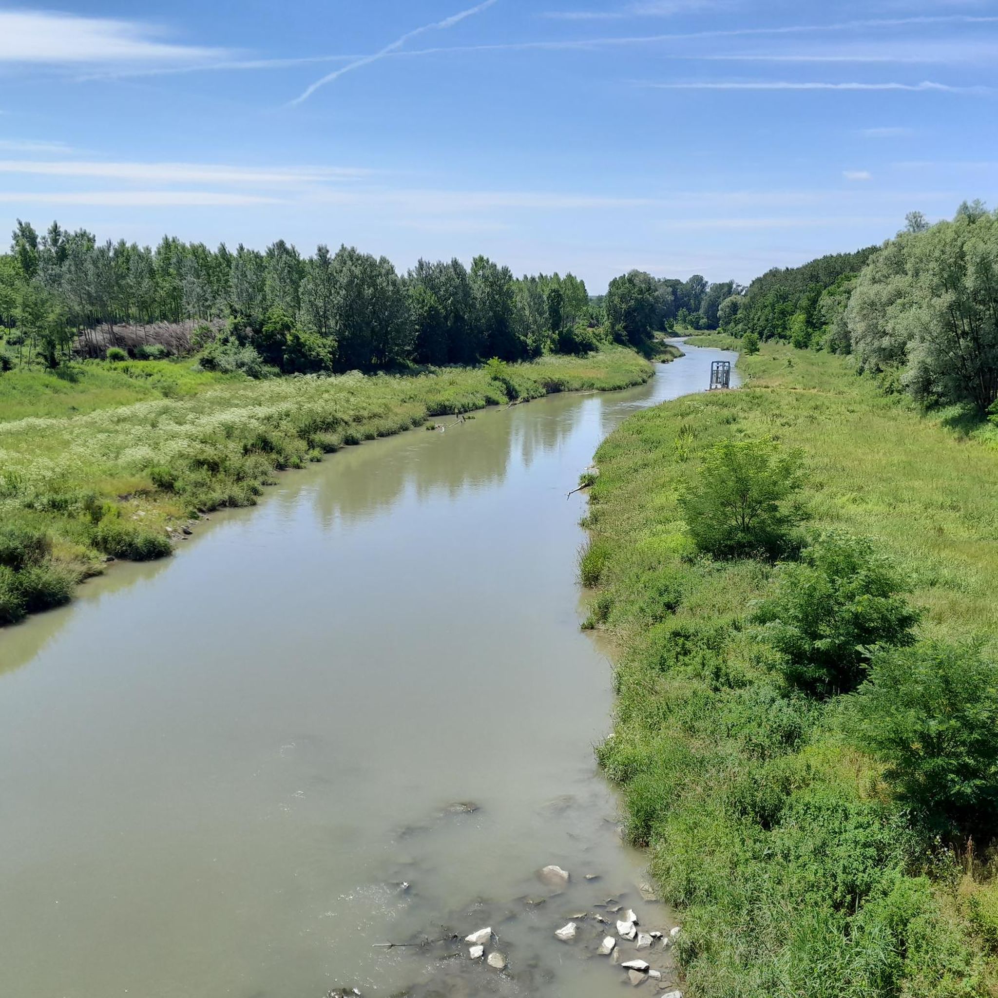
Road Cycling Routes around Wilhering
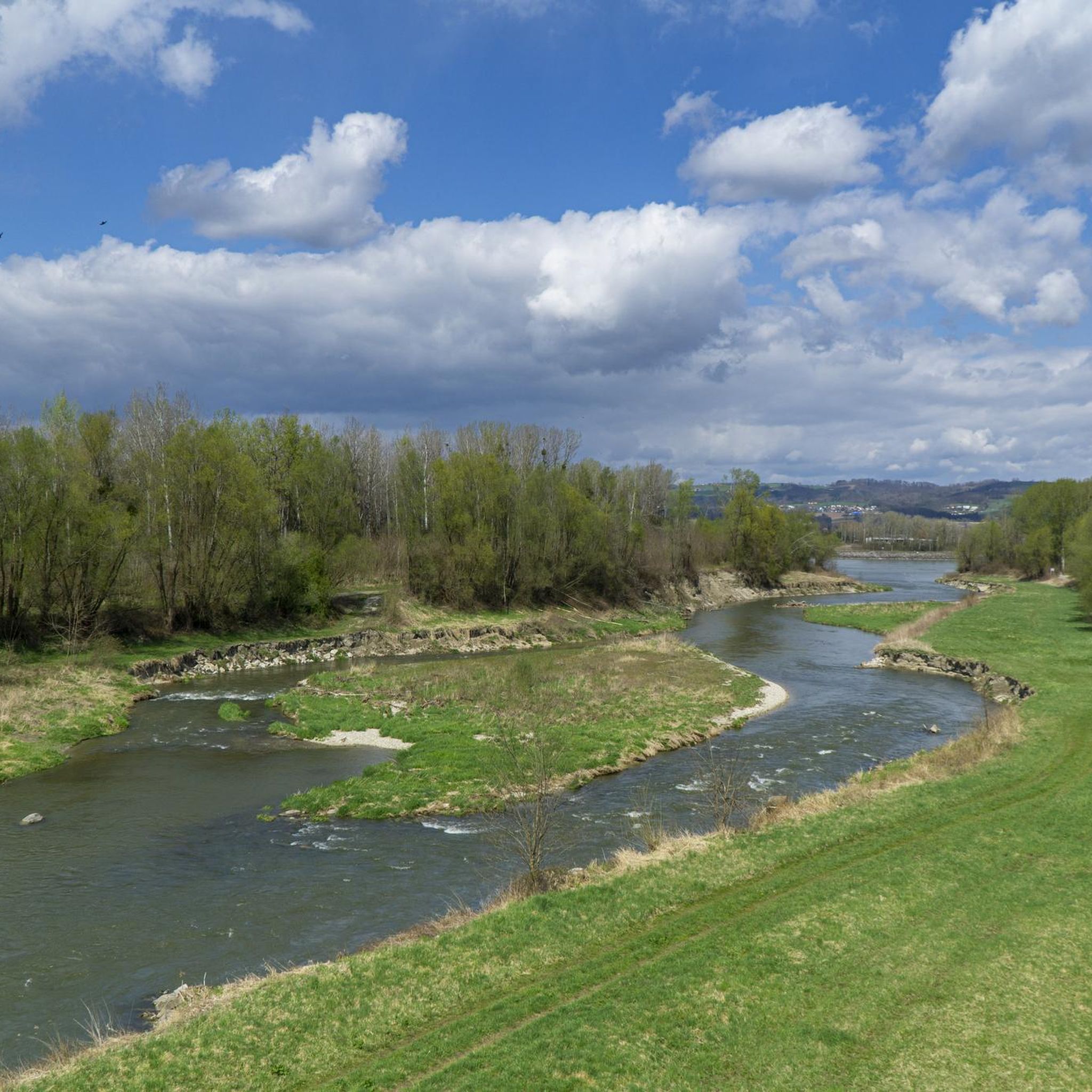
MTB Trails around Wilhering
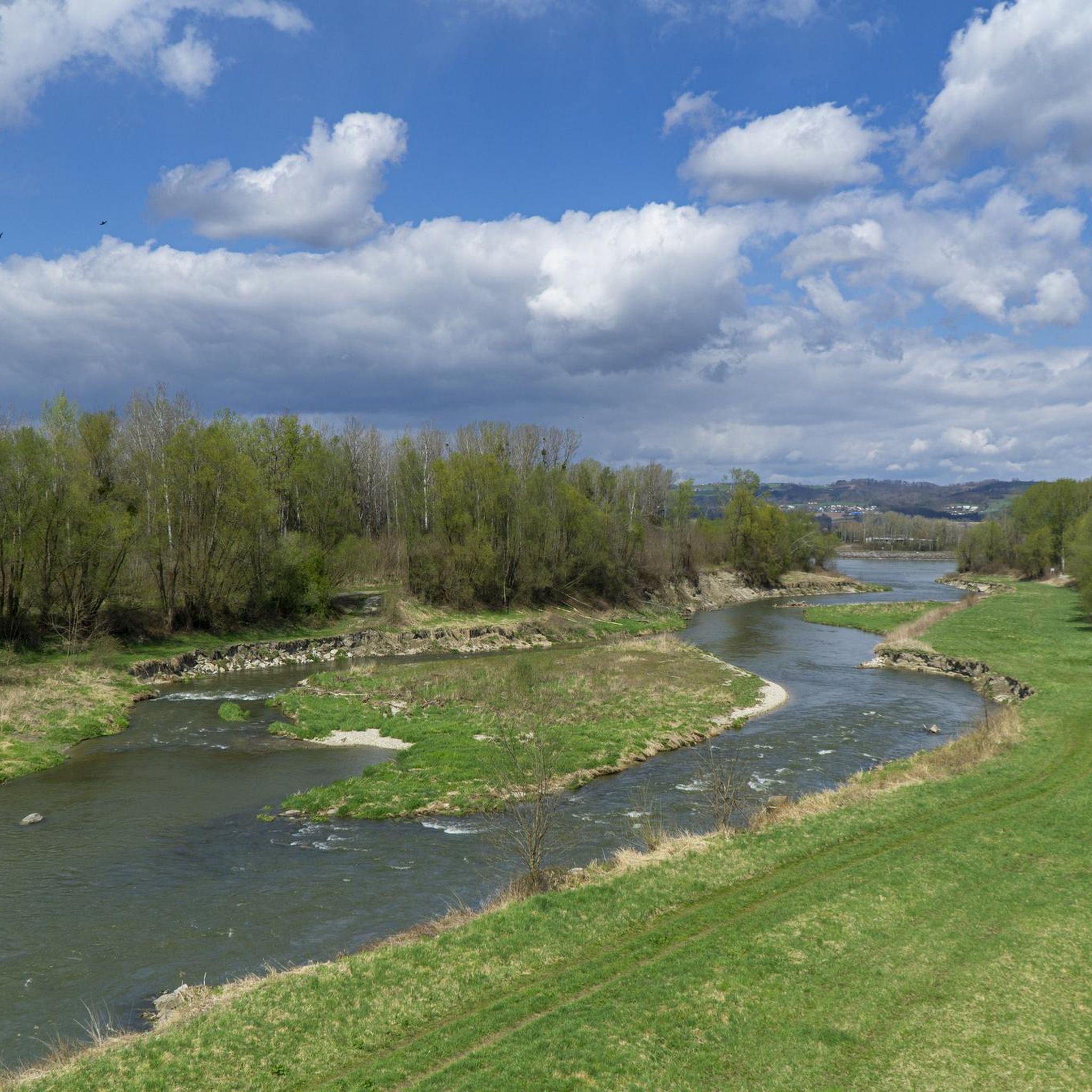
Hiking around Wilhering
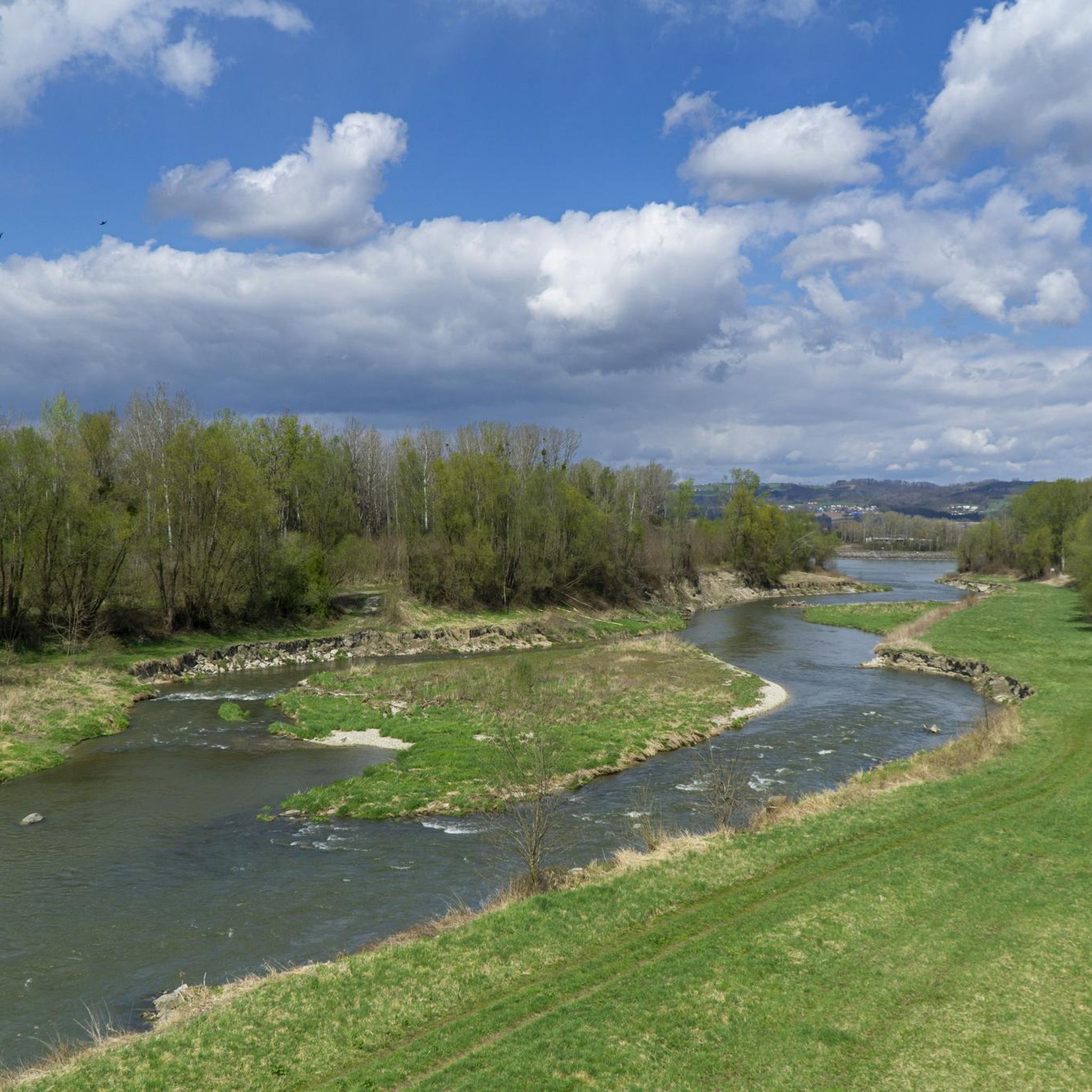
Cycling around Wilhering
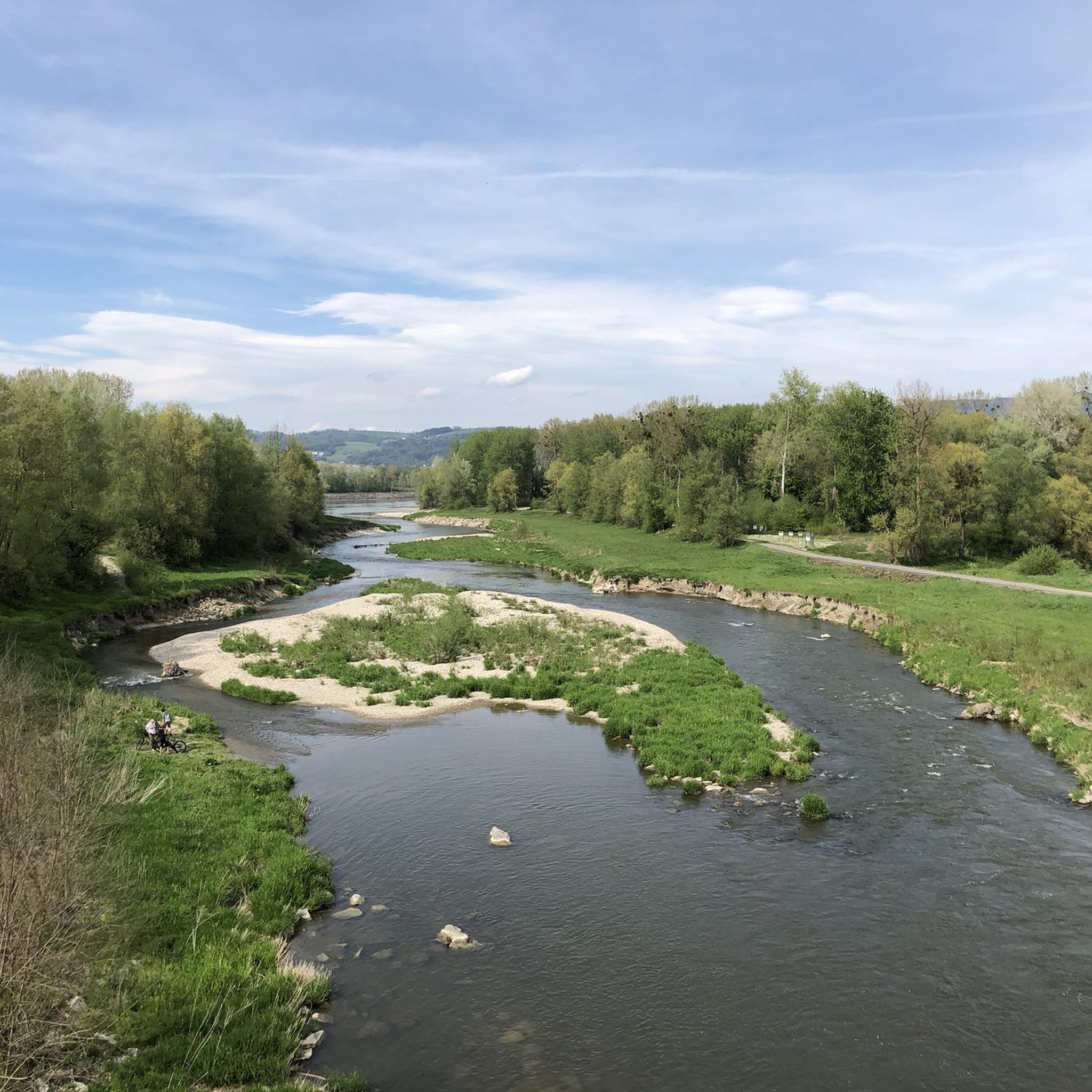
Running Trails around Wilhering
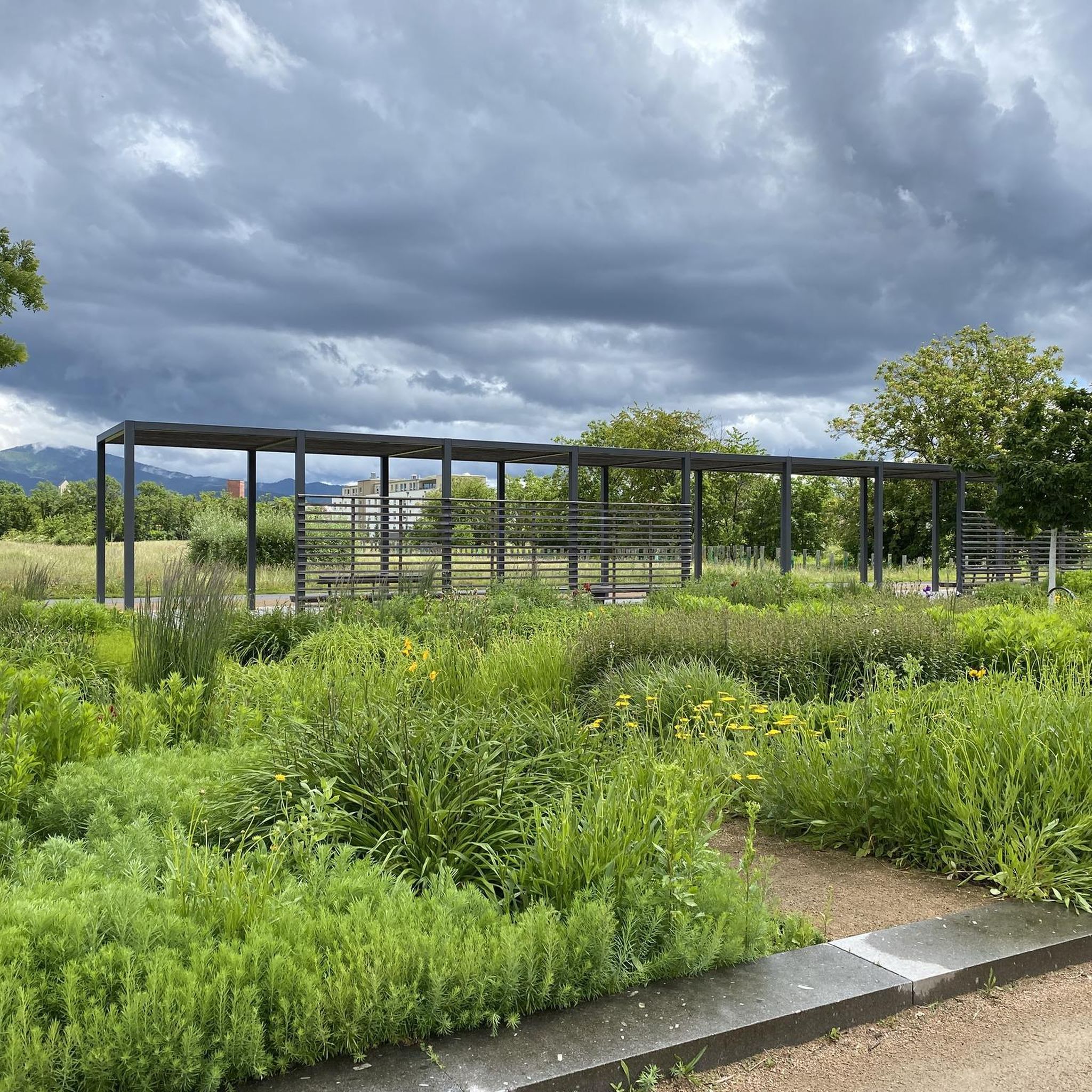
Gravel biking around Wilhering
Other adventures around Wilhering


Tips from the Community

The summit cross on the Gis (Lichtenberg) was completely renewed and re-consecrated in June 2026!
3
0
Giselawarte was built in 1856 and named after Princess Gisela, a daughter of Emperor Franz Joseph. In 1960, it was increased by two stories.
3
0
Built in 1856 and named after Princess Gisela, a daughter of Emperor Franz Joseph. In 1960, two stories were added.
3
0

There must have been a little emergency landing there 🤣
0
0
Great trail, only the railings could do with a repair.
0
0
Beautiful what nature can create
0
0

Built in 1856, the Giselawarte is located at 927m above sea level.
0
0
Frequently Asked Questions
How many mountaineering routes are available around Wilhering?
There are over 10 mountaineering routes around Wilhering, offering a variety of experiences from moderate to difficult. These routes explore the region's diverse landscapes, including the Danube River valley and the Kürnberg Forest.
What kind of terrain can I expect on mountaineering routes in Wilhering?
The terrain around Wilhering is characterized by rolling hills, river valleys, and dense forests. You'll find well-marked paths, but some sections, especially along narrower trails or those with loose stones, may require surefootedness. The routes often feature ascents to peaks like Koglerauer Spitz and Pfenningberg, providing rewarding views.
Are there any challenging mountaineering routes in the area?
Yes, for those seeking a challenge, the region offers routes with significant elevation gain. An example is the Gis Transmitter and Rest Area – Giselawarte loop from St. Magdalena, which is classified as difficult, covering 10.2 miles (16.5 km) with substantial ascents and expansive views.
Are there family-friendly mountaineering routes in Wilhering?
While many routes involve moderate ascents, some sections might be suitable for families with older children who are used to hiking. For easier, less strenuous options, consider exploring parts of the Donausteig trail along the Danube, which offers varied landscapes and generally well-maintained paths. Always check the route details for distance and elevation to ensure it matches your family's capabilities.
Can I bring my dog on the mountaineering trails?
Many trails in the Wilhering region are dog-friendly, allowing you to enjoy the outdoors with your canine companion. However, it's always recommended to keep your dog on a leash, especially in forested areas, near wildlife, or when passing through agricultural land. Please be mindful of local regulations and other hikers.
Are there circular mountaineering routes available?
Yes, many of the mountaineering routes around Wilhering are designed as loops, allowing you to start and end at the same point. For instance, the Prinzenweg viewing point – Kürnbergkreuz loop from Leonding and the Green Pond – Pesenbachsteig Trail loop from Ruine Oberwallsee are excellent circular options that showcase the region's beauty.
What are some notable sights or landmarks I can see along the routes?
The routes often pass by significant natural and cultural landmarks. You might encounter the historic Wilhering Abbey, known for its Rococo architecture, or enjoy views of the Danube River. Some trails lead to summit crosses on peaks like Koglerauer Spitz or Pfenningberg, offering panoramic vistas. Highlights such as the Three Beeches Cross are also accessible.
How can I reach the starting points of these routes using public transport?
Wilhering is accessible by public transport, particularly from Linz. Buses serve the municipality, and some routes might be reachable via stops near the Danube. For specific route starting points, it's advisable to check local bus schedules and connections to plan your journey effectively. The Ottensheim-Wilhering cable ferry also provides an interesting crossing for those coming from the other side of the Danube.
Is parking available near the mountaineering routes?
Yes, parking is generally available near the starting points of many popular mountaineering routes in and around Wilhering. Look for designated parking areas in villages or at trailheads. However, during peak seasons or on weekends, these spots can fill up quickly, so arriving early is recommended.
What is the best time of year for mountaineering in Wilhering?
The best time for mountaineering in Wilhering is typically from spring through autumn. During these seasons, the weather is generally mild, and the trails are clear of snow and ice, offering pleasant conditions for hiking. Spring brings lush greenery, while autumn showcases vibrant fall foliage, making for particularly scenic experiences. Always check the local weather forecast before heading out.
Are there places to eat or stay near the mountaineering routes?
Yes, the Wilhering area offers various options for refreshments and accommodation. You can find inns and restaurants in Wilhering itself or in nearby towns. Some routes might even pass by establishments like Zur Gis Inn or Eidenberger Alm, where you can enjoy a meal or a drink. For overnight stays, guesthouses and hotels are available in the wider region.
Which routes offer the best panoramic views?
Routes that ascend to higher points like the Koglerauer Spitz or Pfenningberg are known for their excellent panoramic views. For example, the Pfenningberg Summit Cross – Finstergrabenbach Bike Route loop from Johannes Kepler University Linz leads to a summit cross with beautiful vistas over Linz and the surrounding landscape on clear days. The Gis Transmitter and Rest Area – Giselawarte loop from St. Magdalena also offers expansive views.
Do I need any permits for mountaineering in Wilhering?
No, generally, you do not need special permits for mountaineering or hiking on the established trails around Wilhering. The trails are freely accessible to the public. However, always respect private property, follow local signage, and adhere to any rules posted in nature reserves or protected areas.
Most popular routes around Wilhering
Most popular attractions around Wilhering

Get inspired with the komoot mobile app


Explore more
Browse the best Mountain Hikes & Routes in other regions.
