The best gravel rides in Vargas Plateau Regional Park
4.8
(7)
65
riders
8
rides
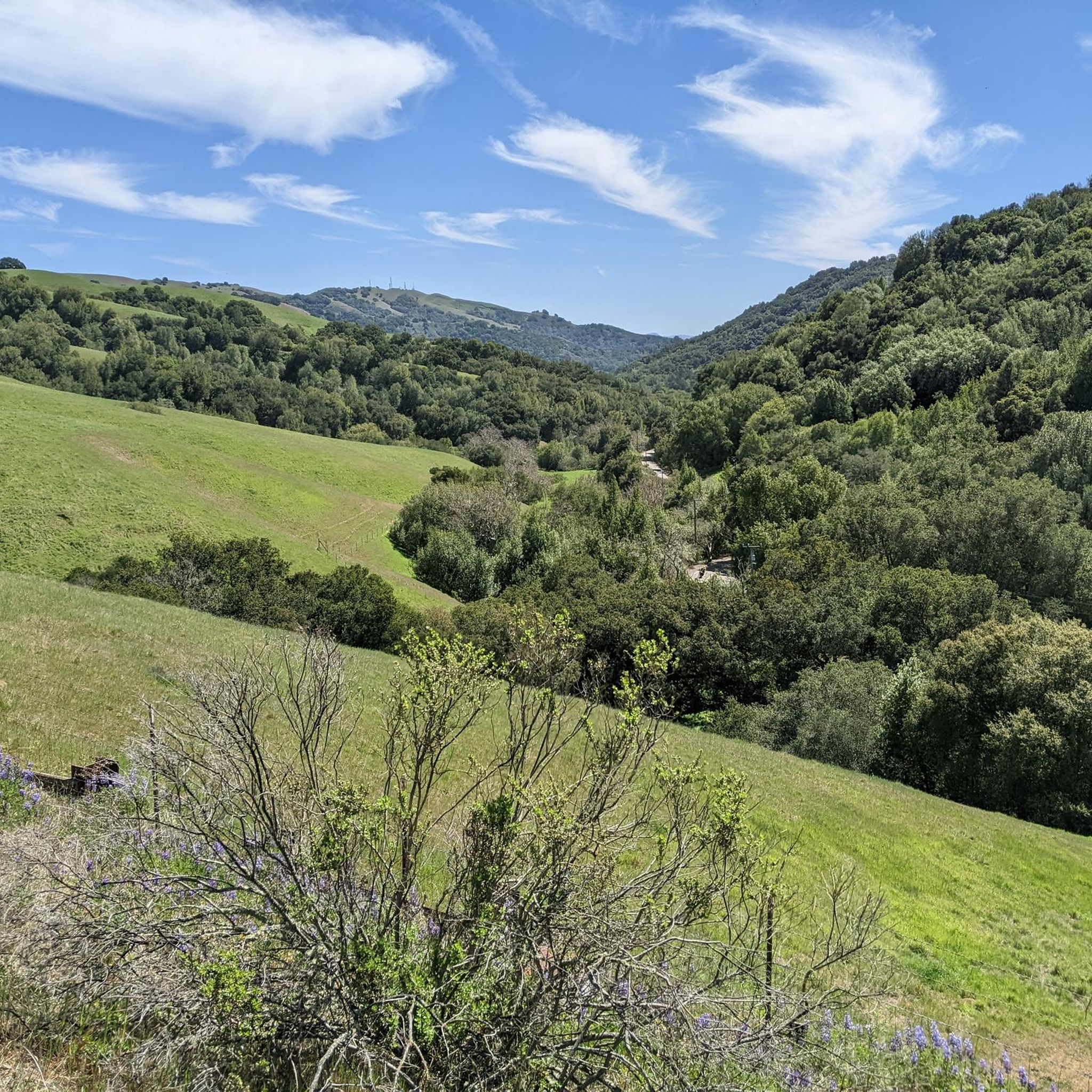
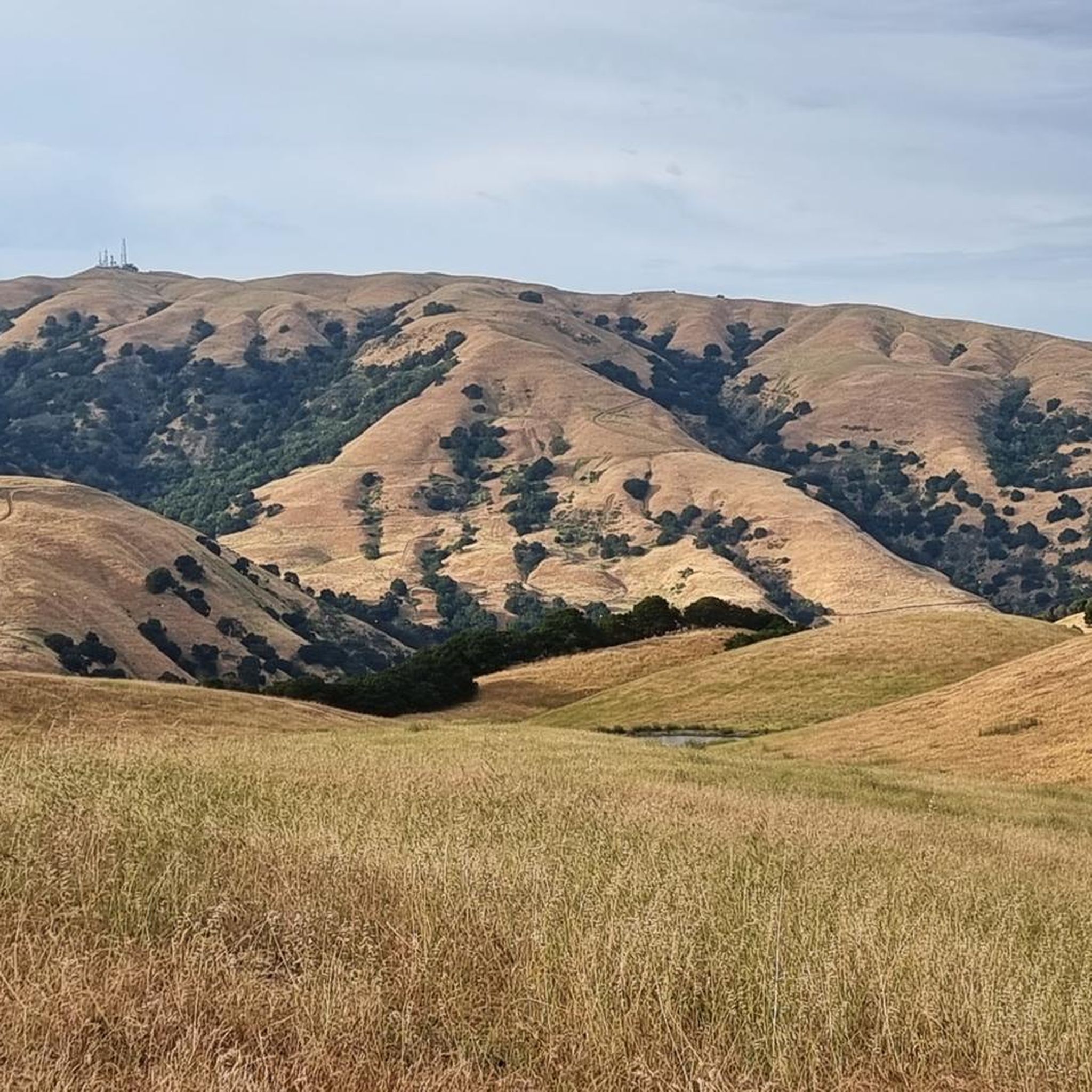
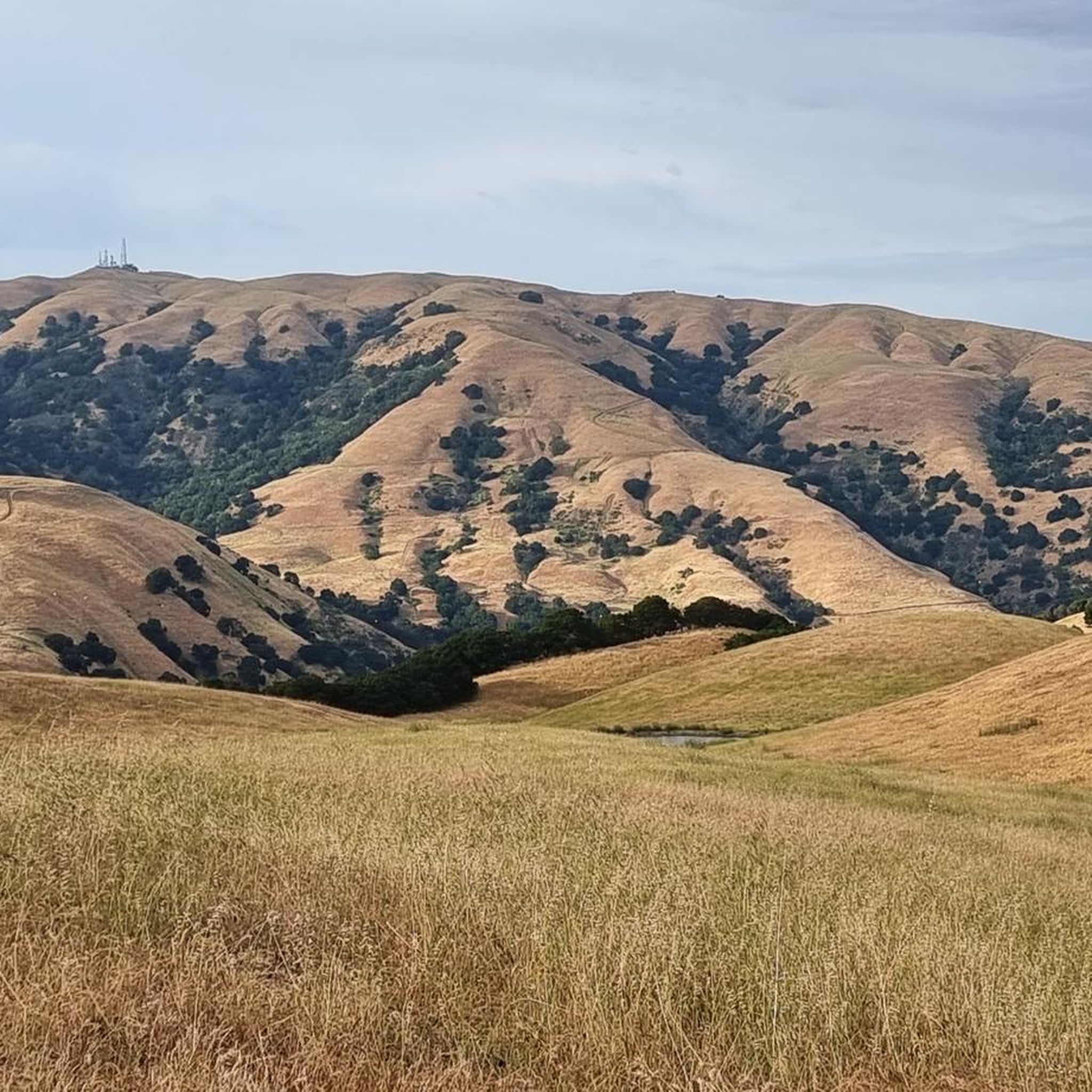
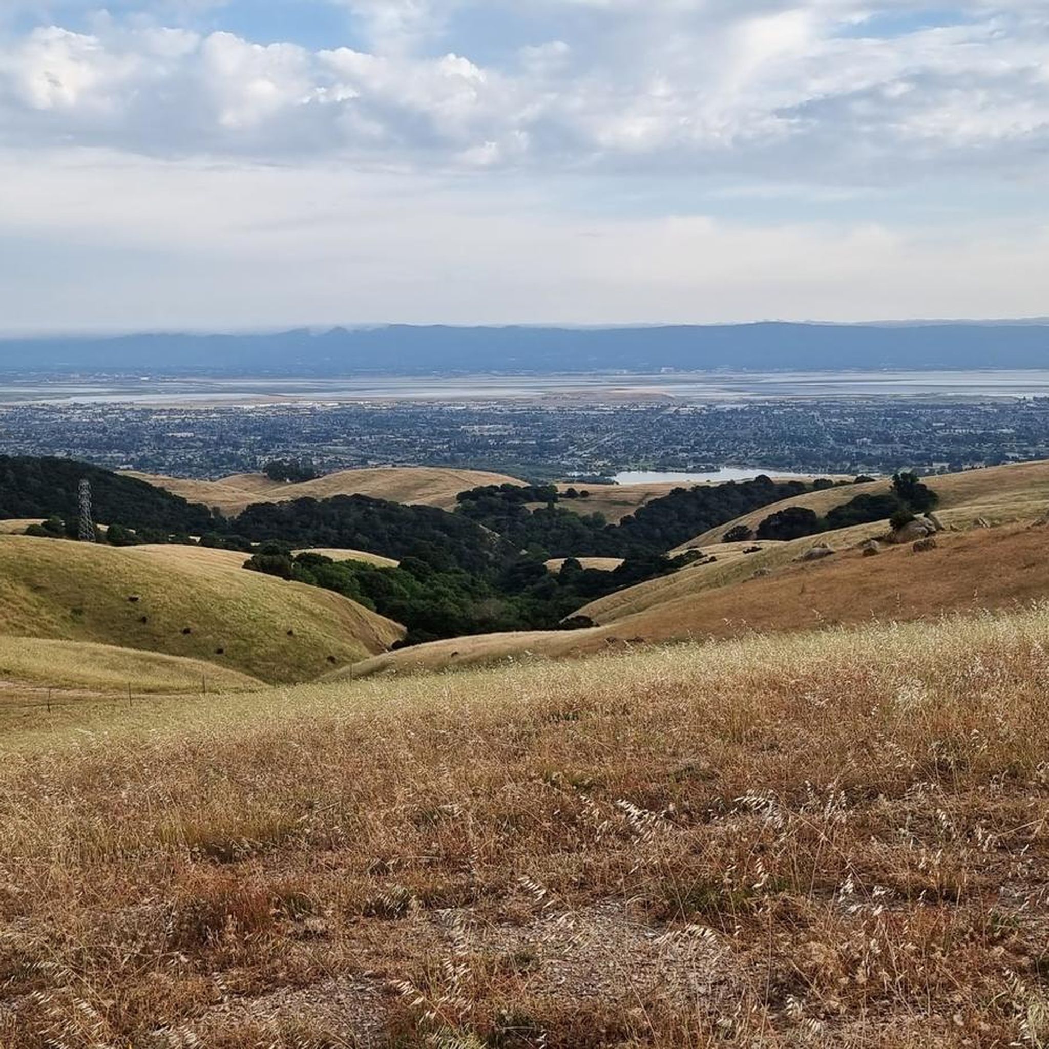
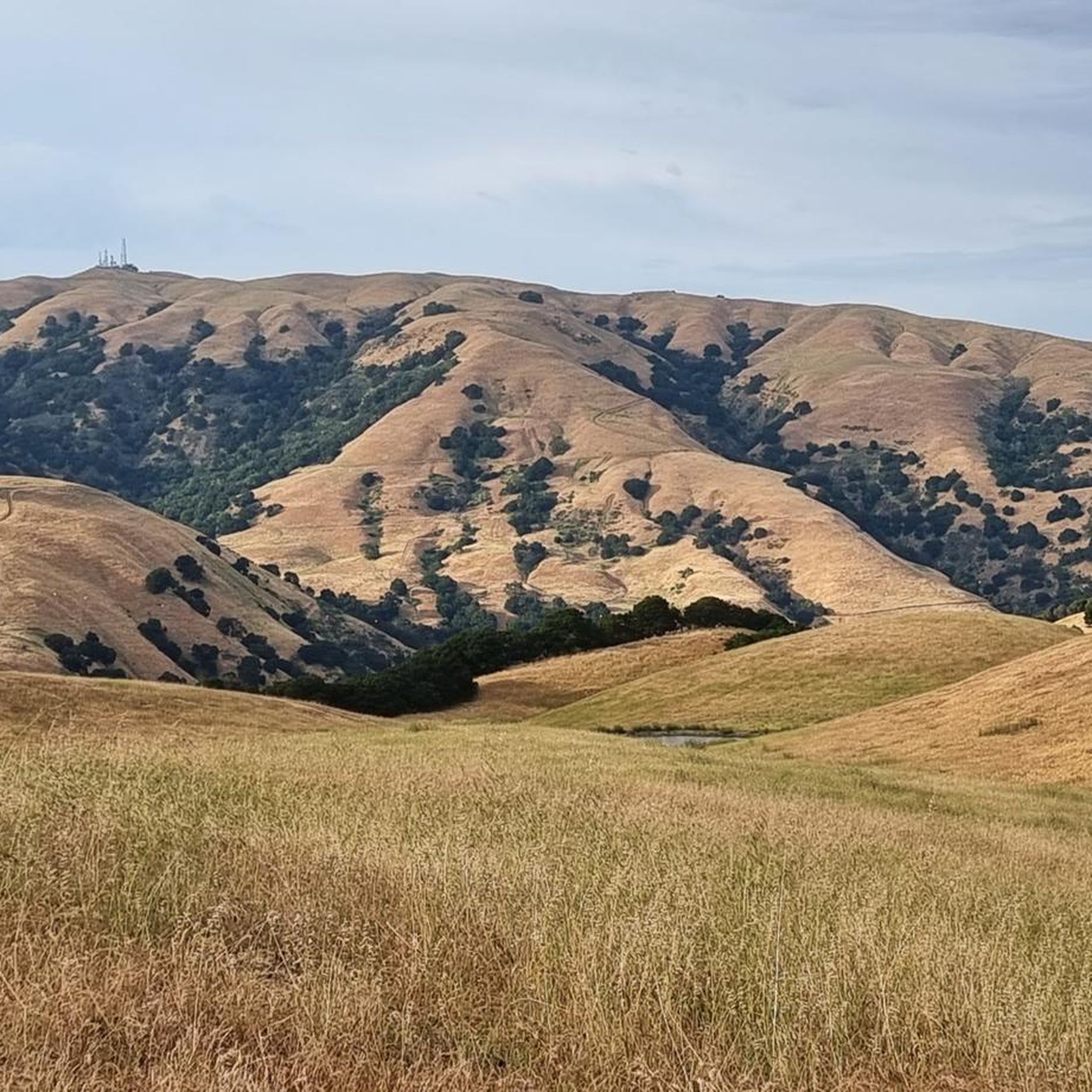
Gravel biking in Vargas Plateau Regional Park offers routes across a plateau approximately 1,000 feet high, providing expansive views of the San Francisco Bay and surrounding areas. The landscape features grass-covered, rolling hills interspersed with small canyons, where oak and bay trees grow near streams. Riders will encounter open grasslands, seasonal wetlands, and stock ponds, with trails often following former ranch roads. The park's terrain includes a mix of moderate ascents and descents, with some sections presenting challenging climbs.
Best…
Last updated: August 15, 2026
5.0
(1)
16
riders
43.7km
02:11
100m
100m
Moderate gravel ride. Good fitness required. Mostly paved surfaces. Suitable for all skill levels.
3
riders
31.5km
03:04
740m
740m
Hard gravel ride. Very good fitness required. Mostly paved surfaces. Suitable for all skill levels.

Sign up for free
8
riders
Easy gravel ride. Great for any fitness level. Mostly paved surfaces. Suitable for all skill levels.
5.0
(1)
5
riders
54.8km
02:39
70m
70m
Moderate gravel ride. Good fitness required. Mostly paved surfaces. Suitable for all skill levels.
2
riders
Moderate gravel ride. Good fitness required. Mostly paved surfaces. Suitable for all skill levels.
Get access to more routes and recommendations from other explorers.
Sign up for free
Already have an account?
Our route recommendations are based on thousands of hikes, rides, and runs completed by other people on komoot.
Start today with a free account
Your next adventure awaits.
Login or Signup
Tips from the Community

This stretch of Foothill Road runs between the city and Pleasanton Ridge, giving you a great feeling of being on the edge of wilderness.
0
0

Entry point to the Hayward Shoreline trail. You'll have to travel through some industrial areas to reach this point, and the trail is gravel. Not overly populated, but there is some road noise from the San Mateo bridge.
0
0
Long gravel stretch was no issue for my hybrid commuter on a dry day. Nice and quiet, it's a lightly populated trail.
0
0

The San Francisco Bay Trail is a long bike route, and the Alameda Creek section is a nice, paved part of it. This segment is just one part of the extensive 500-mile trail that encompasses the Bay Area. Cyclists can enjoy a smooth ride along the Alameda Creek section.
0
0

The Hayward Shoreline Interpretive Center, established in 1986, is a fantastic educational center for school groups and the public to learn about the significance and history of the wetlands surrounding San Francisco Bay. Several exhibits, programs, and activities are designed to cultivate appreciation, respect, and stewardship for the bay and its diverse wildlife. There is parking and restrooms available here.
1
0
The perfect spot for a break! No shade here, but there is a bench, an informational panel, and a wooden observation deck. The views over the marshland here and the bay are pretty amazing.
0
0
The Bayview Trail is an excellent route to explore year round. As you ride along the trail you can enjoy the hills to the easy and the famous San Francisco Bay to the west.
0
0

Stay on the fire roads until you get your bearings...once you become familiar with the park you can explore the single/double track at your leisure...Great views of Pleasanton and Livermore in the distance!
0
0
Frequently Asked Questions
How many gravel bike trails are available in Vargas Plateau Regional Park?
Vargas Plateau Regional Park offers a network of 10 gravel bike trails, catering to various skill levels. You'll find options ranging from easy to difficult, ensuring there's a ride for every preference.
What are the typical difficulty levels for gravel biking in the park?
The park features a mix of trail difficulties. You'll find 2 easy routes, 7 moderate routes, and 1 difficult route. Some sections, particularly on the plateau, can present challenging climbs, including short stretches with a 20% grade.
Are there any family-friendly gravel bike trails in Vargas Plateau Regional Park?
While the park's trails can have significant elevation changes, there are 2 easy routes available. For a generally moderate ride with varied terrain, consider the Alameda Creek Trail to the Bay – D.U.S.T. Trail loop from Fremont, which is popular and offers a good introduction to the area.
What kind of views can I expect while gravel biking in the park?
Vargas Plateau Regional Park is renowned for its panoramic views. From the plateau, approximately 1,000 feet high, you can gaze across the San Francisco Bay, Niles Canyon, and the cities of Fremont, Union City, and Newark. On clear days, views extend to Mission Peak, Sunol, Pleasanton Ridge, Garin, and even the Santa Cruz Mountains.
When is the best time of year to go gravel biking in Vargas Plateau Regional Park?
Spring is a particularly beautiful time to visit, as the hills transform with a vibrant display of wildflowers, including abundant California poppies. The trails are generally exposed to the sun, so checking weather conditions is always recommended, especially during warmer months.
What kind of wildlife might I encounter on the trails?
The park's relatively isolated nature supports diverse wildlife. You might spot golden eagles and hawks soaring overhead, while deer, bobcats, and coyotes inhabit the grasslands and wooded areas. Keep an eye out for frogs and snakes, and be aware that rare species like the California red-legged frog and Alameda whipsnake also find refuge here.
Are there any loop trails for gravel biking in the park?
Yes, several routes offer loop options. For example, the Bayview Trail Observation Deck – Alameda Creek Trail loop from Fremont is a popular choice that takes you through open grasslands and along the creek. Another option is the Alameda Creek Trail – Bayview Trail Observation Deck loop from Union City.
What are the trail surfaces like for gravel biking?
Many of the trails in Vargas Plateau Regional Park are former ranch roads or 'fire roads,' making them ideal for gravel biking. They are unpaved and offer varying terrain, from open grasslands to sections near small streams in canyons.
Do I need a permit to go gravel biking in Vargas Plateau Regional Park?
Generally, permits are not required for day-use activities like gravel biking in Vargas Plateau Regional Park. However, it's always a good idea to check the official East Bay Regional Park District website for the most current regulations before your visit.
What should I bring for a gravel bike ride in the park?
Given the exposed nature of many trails, bring plenty of water, sun protection (sunscreen, hat), and appropriate layers. A repair kit for your bike is also advisable. You may encounter grazing cattle, so be prepared to share the trails respectfully.
What do other gravel bikers enjoy most about Vargas Plateau Regional Park?
The komoot community highly rates the routes in Vargas Plateau Regional Park, with an average score of 5.0 stars. Riders often praise the expansive panoramic views, the blend of rolling hills and challenging climbs, and the quiet, uncrowded setting that allows for excellent wildlife observation.
Are there any challenging gravel bike routes for experienced riders?
Absolutely. For experienced riders seeking a robust workout, the Sunol Depot – Pleasanton Ridge viewpoint loop from Sunol is a difficult 19.6-mile path featuring significant elevation changes and panoramic viewpoints. The park also has sections with a 20% grade that provide a good challenge.
Most popular routes in Vargas Plateau Regional Park

Get inspired with the komoot mobile app


Explore more
Browse the best Gravel rides in other regions.
