The best walks and hikes in Haw River State Park
4.1
(10)
94
hikers
10
hikes
Hiking in Haw River State Park offers routes through a landscape defined by the Haw River and its surrounding ecosystems. The park's trails navigate through piedmont oak-hickory forests, across wetlands, and along the river corridor. With mostly flat terrain and gentle inclines, the park provides an accessible environment for recreation. Diverse landscapes include open forests, bottomland areas, and sections with broadleaf trees.
Best hiking trails in Haw River State Park
- The most popular hiking route is Great Blue Heron Loop…
Last updated: October 10, 2026
2.0
(1)
17
hikers
5.90km
01:32
40m
40m
Embark on the Great Blue Heron Loop Trail for an easy hike through scenic woodlands. You will wander among pine and mixed hardwood forests, with occasional clearings offering views of…
1
hikers
12.8km
03:17
50m
50m
Embark on the Lake Townsend Loop Trail for a moderate hike spanning 8.0 miles (12.8 km), where you'll gain 150 feet (46 metres) over approximately 3 hours and 16 minutes.…

5.0
(1)
8
hikers
7.34km
01:55
50m
50m
Embark on an easy hike along the Bill Craft Trail, a 4.6-mile (7.3 km) route that winds through a diverse forest. You'll gain a gentle 161 feet (49 metres) in…
5.38km
01:25
50m
50m
Embark on the King Fisher Trail, an easy hiking route that guides you through peaceful wooded areas and open spaces within the Greensboro Watershed. This trail offers a gentle experience,…
5.0
(1)
7
hikers
10.9km
02:50
60m
60m
Moderate hike. Good fitness required. Easily-accessible paths. Suitable for all skill levels.
Get access to more routes and recommendations from other explorers.
Already have an account?
Our route recommendations are based on thousands of hikes, rides, and runs completed by other people on komoot.
Start today with a free account
Your next adventure awaits.

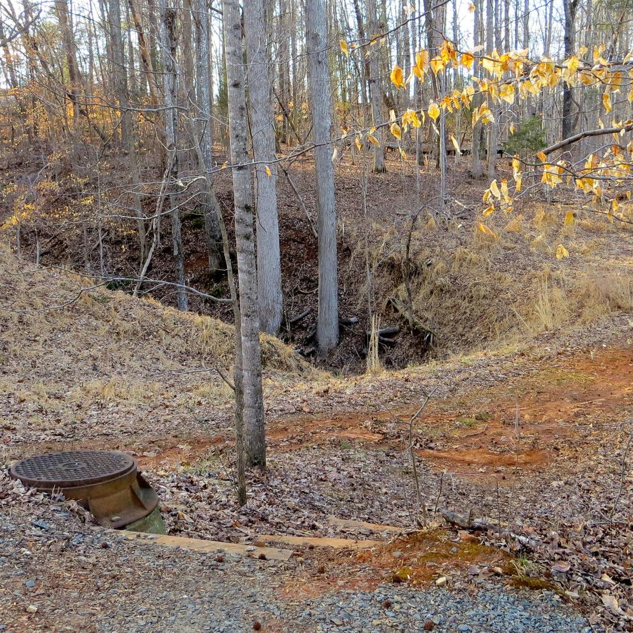
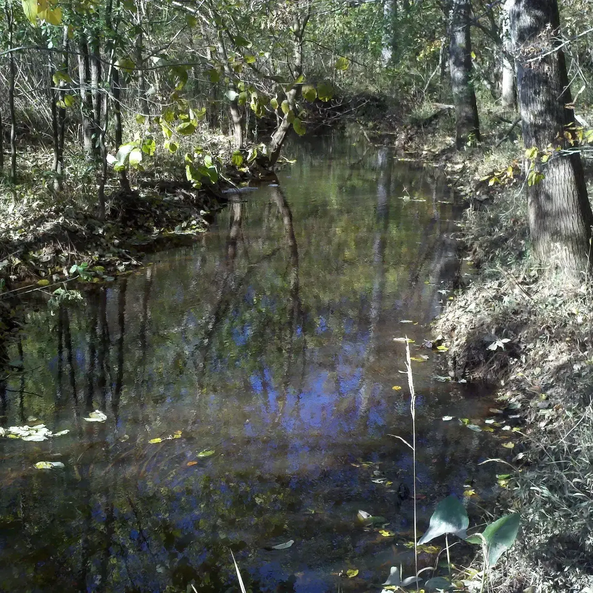
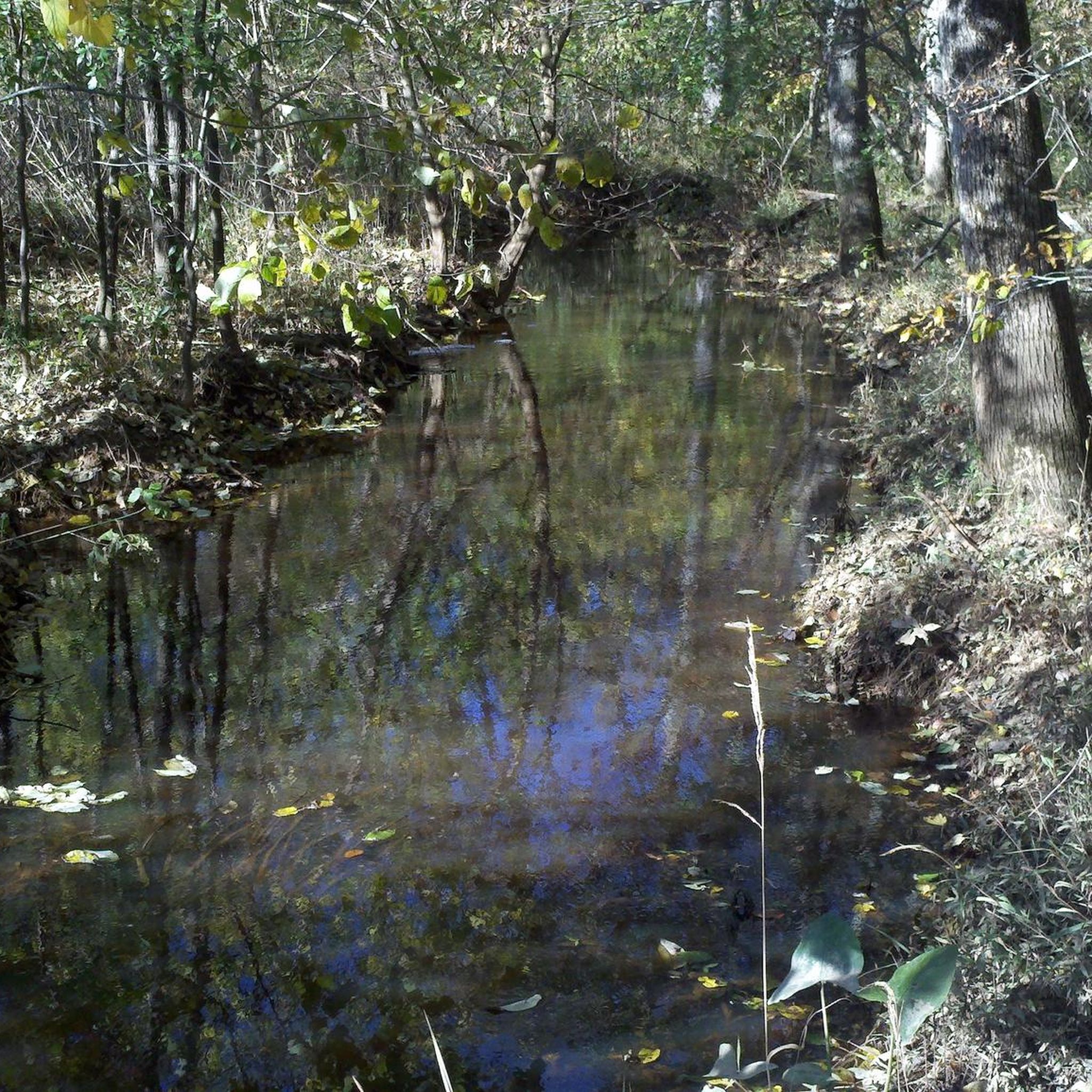
Tips from the Community

Great Blue Heron Loop Trail in Haw River State Park winds through scenic woodlands and along the riverbanks. Offering a chance to witness diverse wildlife, following classic breathtaking North Carolina landscapes, the trail also gives a chance to witness unique & diverse wildlife.
0
0
Haw River State Park features diverse ecosystems along the Haw River. With trails, river access, and educational programs, it invites nature lovers to explore its scenic beauty and wildlife.
0
0

Jump on or off the Bill Craft Trail to enjoy breathtaking views from this overlook. Here, you'll see beaver dams, diverse fauna, and various birds. There’s a deck with a bench where you can relax and take a break before heading back or continuing along the trail.
0
0
The Bill Craft Trail winds through the stunning forest of the Richardson-Taylor Preserve, leading you through wetlands, streams, and vibrant wildflower meadows. Along the way, you'll have plenty of opportunities to spot wildlife.
0
0

You can get some great views over the water from this bridge, which spans Reedy Fork and looks toward Lake Townsend in the southeast. You'll have to run on the shoulder for this short span.
0
0

Lake Townsend, named in honor of Greensboro City Manager James R. Townsend, was built and open for recreation in 1969. Boat ramps are available for private boat launching. Kayaks and rowboats are available to rent. The lake is also a popular fishing area.
0
0

The Richardson - Taylor Preserve is a wonderful place to enjoy nature but it is not for mountain biking. However, the parking is the perfect place to leave your car while you ride the Reedy Fork Trail, which is a designated mountain bike trail. The trail starts right out of the parking lot.
0
0
Lake Townsend, named in honor of Greensboro City Manager James R. Townsend was built and open for recreation in 1969. Boat ramps are available for private boat launching. Kayaks and rowboats are available to rent. The lake is also a popular fishing area.
0
0
Frequently Asked Questions
Are dogs allowed on the trails at Haw River State Park?
Yes, dogs are welcome in Haw River State Park but must be kept on a leash at all times. The park's trails, with their relatively flat terrain and woodland paths, are great for walking with your canine companion. Remember to bring water for both you and your dog, especially on warmer days.
What are the best family-friendly or easy hikes in the park?
The park is well-suited for families and those looking for an easy walk. Most trails are relatively flat. The Iron Ore Belt Access area is particularly good for a day out, offering several trails that are not too strenuous. The Great Blue Heron Loop Trail is a popular choice for an easy, scenic walk through the woods.
What kind of scenery and wildlife can I expect to see?
The trails at Haw River State Park take you through classic North Carolina landscapes. Expect to hike through beautiful piedmont oak-hickory forests and along the banks of the Haw River. The park is also known for its wetlands and floodplain swamps, which you can explore via boardwalks. These diverse habitats attract a variety of wildlife, making it a great spot for birdwatching where you might see herons, resident birds, and possibly deer or foxes.
What are the trail options at the Iron Ore Belt Access?
The Iron Ore Belt Access is a key area for day-use hiking in the park. It features about 4 miles of trails that wind through forests and near wetlands. The main trail here is the popular Great Blue Heron Loop, a relatively flat 3.6-mile circuit. This access point is a great starting point for experiencing the park's natural beauty.
Are there any circular or loop trails available?
Yes, the park offers several loop trails, which are convenient for hikers who want to start and end at the same point without retracing their steps. A great moderate option is the Wild Turkey Trail & Nat Greene Trail loop, which provides a longer walk through lakeside woodlands.
How difficult are the hiking trails in Haw River State Park?
The trails are generally considered easy to moderate, with minimal elevation changes. This makes the park accessible to hikers of most fitness levels. We have 3 easy hikes and 2 moderate hikes in our guide. The terrain consists of well-maintained woodland paths and some boardwalks over wetlands.
What do other hikers think of the trails in Haw River State Park?
The hiking routes in this area are well-regarded by the komoot community, earning an average score of 4.0 stars. Hikers often praise the well-marked paths, the peaceful woodland scenery, and the accessibility of the trails for different skill levels.
Is there parking available at the trailheads?
Yes, parking is available at the park's main access points, including The Summit Access and the Iron Ore Belt Access. The Iron Ore Belt Access is a popular starting point for many day-use trails and has a dedicated parking area. It's always a good idea to arrive earlier on weekends and holidays as lots can fill up.
Can I go fishing in Haw River State Park?
Yes, fishing is a popular activity in the park. The Haw River provides opportunities for freshwater fishing, though you will need to have a valid North Carolina fishing license. The river banks along some of the trails can provide good spots to cast a line.
Are there any trails with good viewpoints?
While the park is known more for its serene forests and riverside scenery than for high-elevation vistas, some trails offer lovely natural views. For a hike that leads to a specific viewpoint, consider the Bill Craft Trail to Viewpoint in the nearby Richardson-Taylor Preserve, which offers a pleasant destination.
How long are the hikes in Haw River State Park?
Hike lengths vary to suit different preferences. You can find shorter walks of around 2.5 miles (4 km) as well as longer routes. For a more substantial hike, the Piedmont Trail to Atlantic and Yadkin Greenway Bridge is a moderate option that covers about 6 miles (9.7 km).
Where can I find an official trail map?
For detailed official maps and the most current information on trail conditions or closures, it's best to visit the official North Carolina State Parks website for Haw River State Park. They provide downloadable maps and alerts.
Most popular routes in Haw River State Park

Get inspired with the komoot mobile app


Explore more
Browse the best Hikes in other regions.
