The best mountain hikes in Brandwald
4.5
(17)
432
hikers
10
hikes
Mountaineering routes in Brandwald are set within the impressive Glarner Alps, characterized by towering peaks and a dramatic landscape. The region features significant alpine glaciers, such as the Biferten Glacier and the Hüfi Glacier, visible from higher elevations. Exposed rock faces and high ridges, particularly around the Eggstöcke, offer challenging terrain for climbers, while green alpine meadows and deep-blue lakes like Oberblegisee provide scenic contrasts.
Best mountaineering routes in Brandwald
- The most popular mountaineering route is Zirbitzkogel loop from Europaschutzgebiet…
Last updated: August 9, 2026
5.0
(3)
36
hikers
11.4km
04:15
750m
750m
Moderate mountaineering route. Good fitness required. Mostly accessible paths. Sure-footedness required.
5.0
(1)
15
hikers
11.8km
04:32
770m
770m
Moderate mountaineering route. Good fitness required. Mostly accessible paths. Sure-footedness required.

Sign up for free
5.0
(1)
11
hikers
Hard mountaineering route. Very good fitness required. Mostly accessible paths. Sure-footedness required.
5.0
(1)
18
hikers
11.0km
05:01
750m
750m
Hard mountaineering route. Very good fitness required. Mostly accessible paths. Sure-footedness required.
11
hikers
11.9km
05:02
750m
750m
Hard mountaineering route. Very good fitness required. Mostly accessible paths. Sure-footedness required.
Get access to more routes and recommendations from other explorers.
Sign up for free
Already have an account?
Our route recommendations are based on thousands of hikes, rides, and runs completed by other people on komoot.
Start today with a free account
Your next adventure awaits.
Login or Signup
Tips from the Community

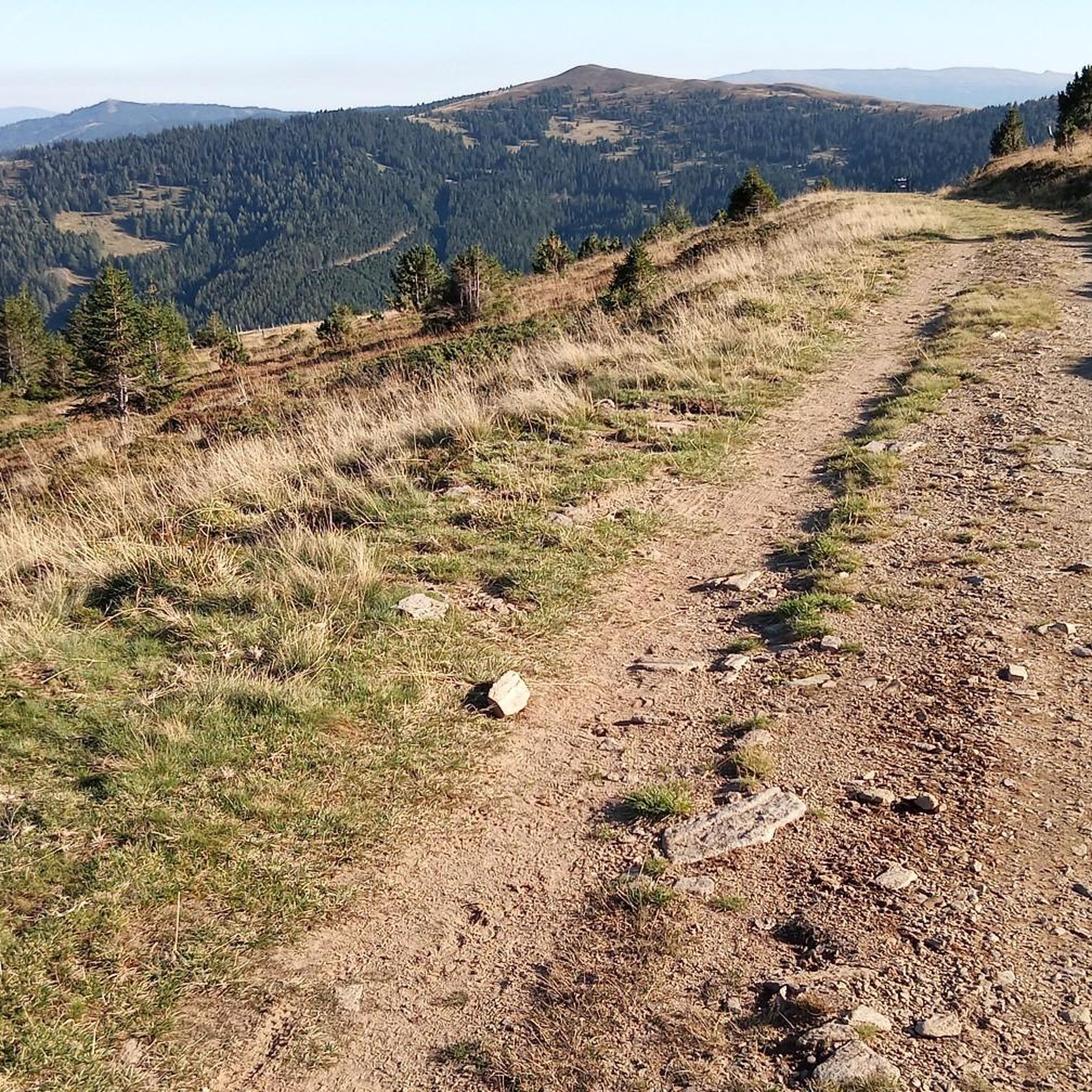
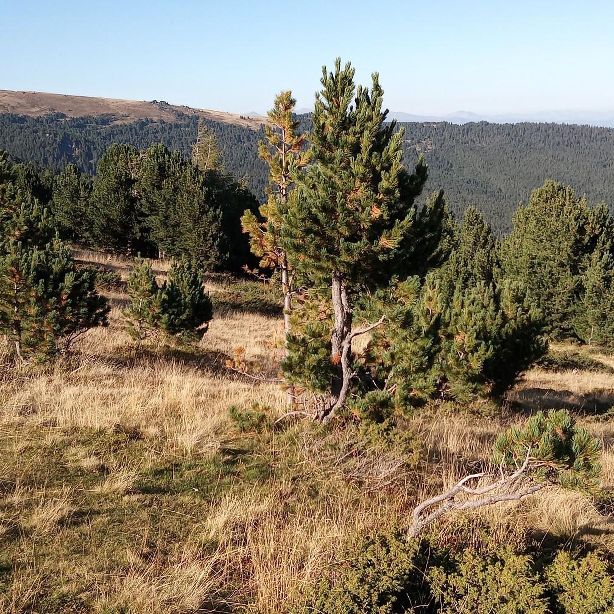
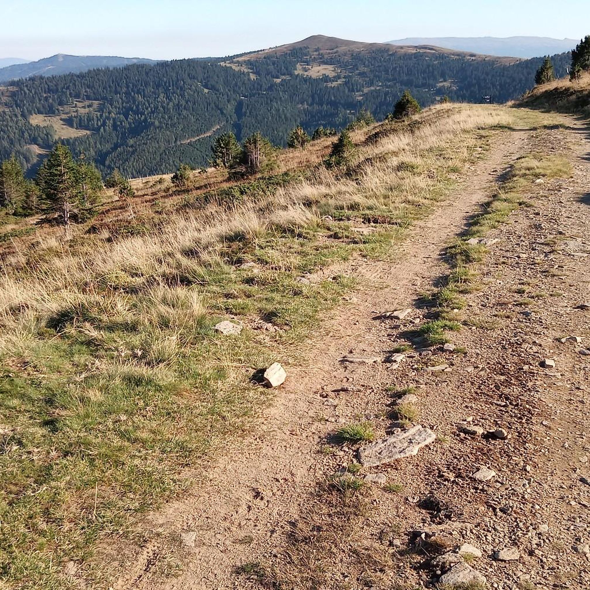
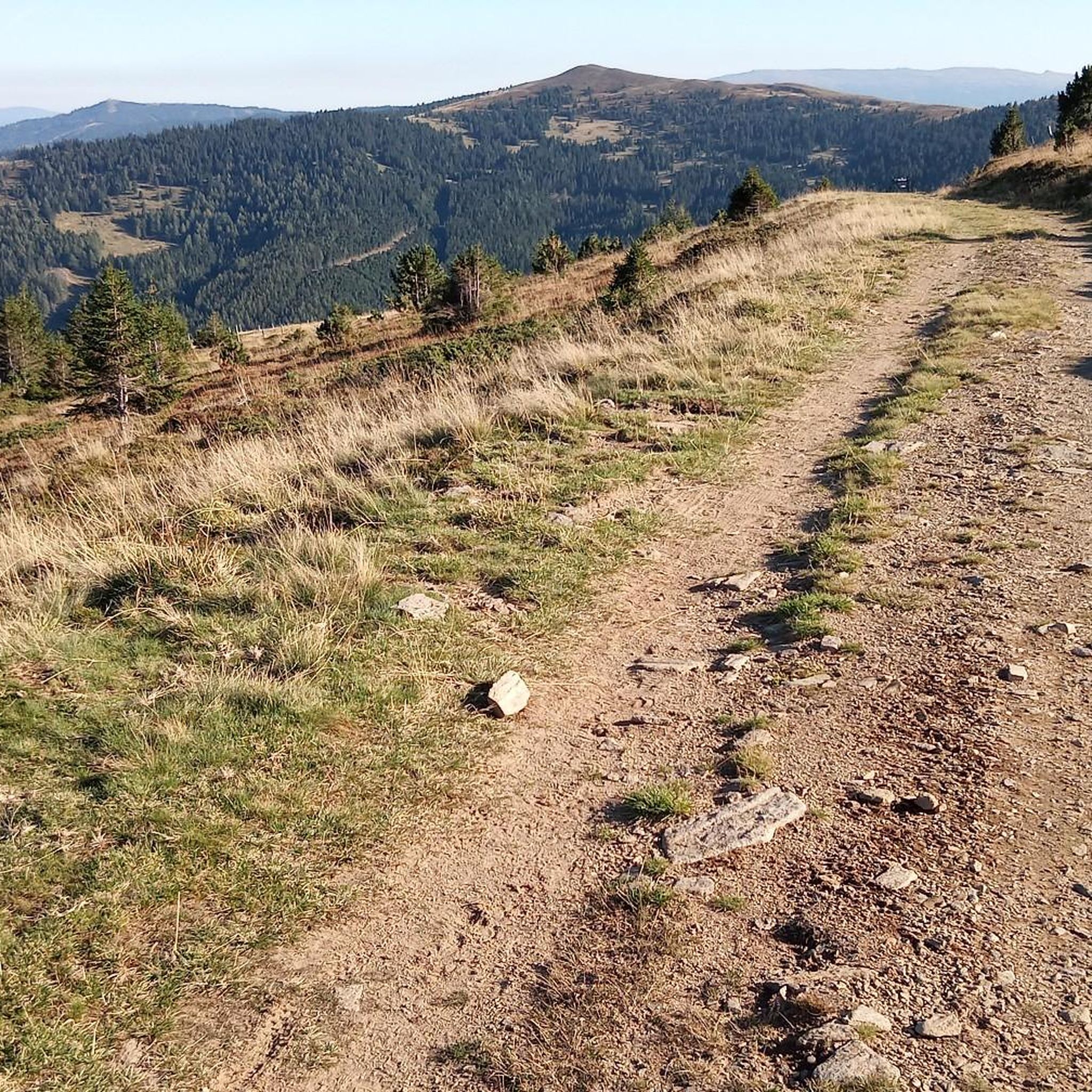
A tranquil lake with beautiful views of the surrounding mountains. A perfect stopover on a tour through the Seetal Alps.
0
0
The Sabathyhütte is always worth a visit – homemade food and a really pleasant atmosphere.
0
0

Stage destination at 1600m above sea level
0
0

A beautiful hike despite the lack of visibility
0
0

nice road and better to drive than big Winterleitensee
1
0

Magnificent panorama to marvel at all around.
0
0
Super surrounded by a wonderful panorama.
0
0
Frequently Asked Questions
How many mountaineering routes are available in Brandwald?
Brandwald offers a diverse selection of mountaineering routes. Our guide features 11 distinct tours, with 5 moderate and 6 difficult options, catering to various skill levels.
Are there routes suitable for experienced mountaineers looking for a challenge?
Absolutely. Brandwald is known for its challenging terrain, particularly around the Eggstöcke, which features several via ferratas ranging up to K5 difficulty. For a demanding mountaineering tour, consider the Wildsee – Fuchskogel loop from Europaschutzgebiet Zirbitzkogel, a difficult 9.4-mile (15.1 km) trail leading through alpine meadows and past notable rock formations.
When is the best time of year for mountaineering in Brandwald?
The prime season for mountaineering in Brandwald typically runs from late spring through early autumn, when the trails are clear of snow and the weather is most stable. While Brandwald transforms into a winter wonderland, offering sledding and skiing, summer and early fall provide the best conditions for high-alpine mountaineering and via ferratas.
What natural landmarks or attractions can I see while mountaineering in Brandwald?
Mountaineering in Brandwald offers breathtaking views of the Glarner Alps. You'll be at eye-level with significant Alpine glaciers like the Biferten Glacier and the Hüfi Glacier. The region also features the stunning, deep-blue Oberblegisee, nestled among green alpine meadows, providing a tranquil spot to enjoy nature.
Are there any circular mountaineering routes in Brandwald?
Yes, many of the mountaineering routes in Brandwald are circular, allowing you to experience varied scenery without retracing your steps. An excellent example is the Zirbitzkogel loop from Europaschutzgebiet Zirbitzkogel, a moderate 7.1-mile (11.4 km) trail offering expansive views across the alpine landscape.
Can I bring my dog on mountaineering routes in Brandwald?
While many trails in the Glarner Alps are dog-friendly, specific regulations can vary, especially on more exposed mountaineering routes or via ferratas. It's always best to check local signage or inquire with the Braunwald tourist information office about specific route restrictions before heading out with your canine companion.
Are there family-friendly mountaineering options in Brandwald?
While true mountaineering often involves more challenging terrain, Brandwald offers a variety of hiking trails that can be suitable for active families. For a moderate option that provides a taste of the alpine environment, consider the Lavantsee – Zirbitzkogel loop from Waldheimhütte, which traverses varied terrain with views of surrounding peaks and valleys.
What do other mountaineers enjoy the most about Brandwald?
The mountaineering routes in Brandwald are highly rated by the komoot community, with an average score of 4.5 stars from over 15 reviews. Mountaineers frequently praise the dramatic landscapes of the Glarner Alps, the challenging yet rewarding terrain, and the stunning views of alpine glaciers and peaks like Tödi.
What are the options for accessing the mountaineering areas in Brandwald?
Braunwald is a car-free mountain village, which adds to its serene atmosphere. Access is typically via public transport to the Braunwald funicular. Once in the village, the Gumen Combined Cable Car provides convenient access to higher areas, above which many via ferratas and mountaineering routes are located.
Are there any facilities or places to rent gear for via ferratas in Brandwald?
Yes, for those interested in the via ferratas on the Eggstöcke, climbing gear can be rented directly at the base of the Grotzenbüel gondola station. This makes it convenient for visitors who don't own their own equipment.
Are there any longer, more strenuous mountaineering routes in Brandwald?
For those seeking a longer and more strenuous adventure, Brandwald offers several difficult routes. The Lindersee – Zirbitzkogel loop from Alpengasthof Sabathy is a challenging 10.9-mile (17.6 km) route that will test your endurance and reward you with spectacular alpine scenery.

Get inspired with the komoot mobile app


Explore more
Browse the best Mountain Hikes & Routes in other regions.
