The 10 Most Amazing Peaks around Tillington
Best mountain peaks around Tillington are primarily found within the rolling hills of West Sussex, particularly within the South Downs National Park. This area is characterized by elevated viewpoints and significant hills rather than traditional mountains. Visitors can explore a network of hiking trails that offer sweeping views over the countryside and access to historical landmarks. The region provides diverse opportunities for outdoor activities, making it a notable destination for those seeking scenic vistas and walks.
Best mountain peaks around…
Last updated: June 27, 2026
Bignor Hill summit and Roman road signpost
Highlight • Monument
Tip by

Temple of the Wind Viewpoint
Highlight • Viewpoint
Tip by

Sign up now to discover places like this
Get recommendations on the best single tracks, peaks, & plenty of other exciting outdoor places.
Sign up for free
Black Down Summit and Viewpoint
Highlight • Natural Monument
Tip by

Lancaster Bomber Crash Site Memorial, Littleton Down
Highlight • Viewpoint
Tip by

Heyshott Down Trig Point
Highlight • Natural Monument
Tip by
Sign up for free to discover even more peaks around Tillington.
Sign up for free
Already have an account?
Start today with a free account
Your next adventure awaits.
Login or Signup
Popular around Tillington
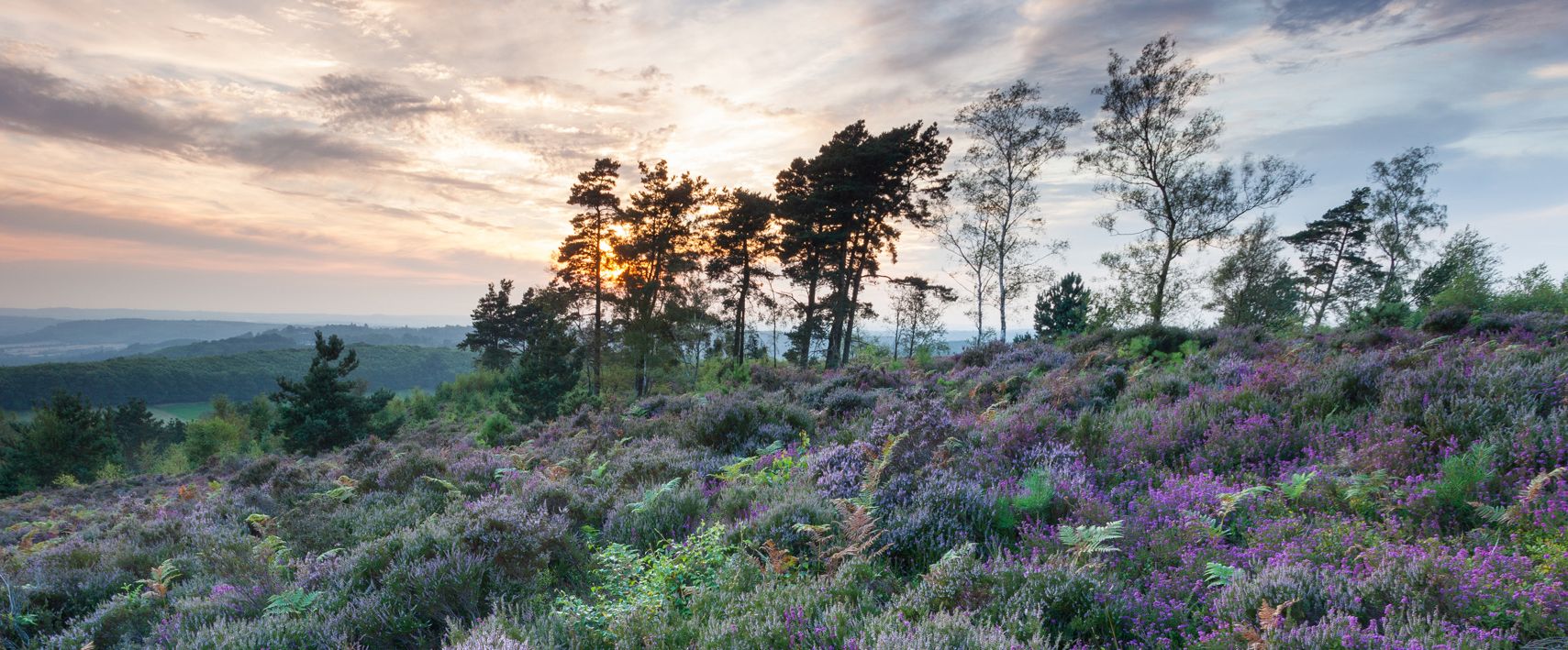
Hiking the Serpent Trail — Snake across Sussex's vibrant Greensand Hills
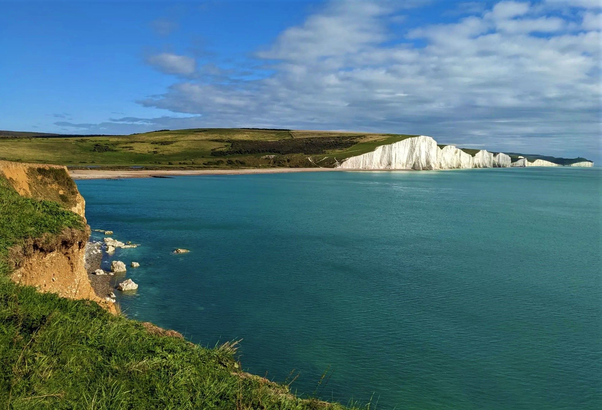
Hike the white cliffs and rolling hills of the South Downs
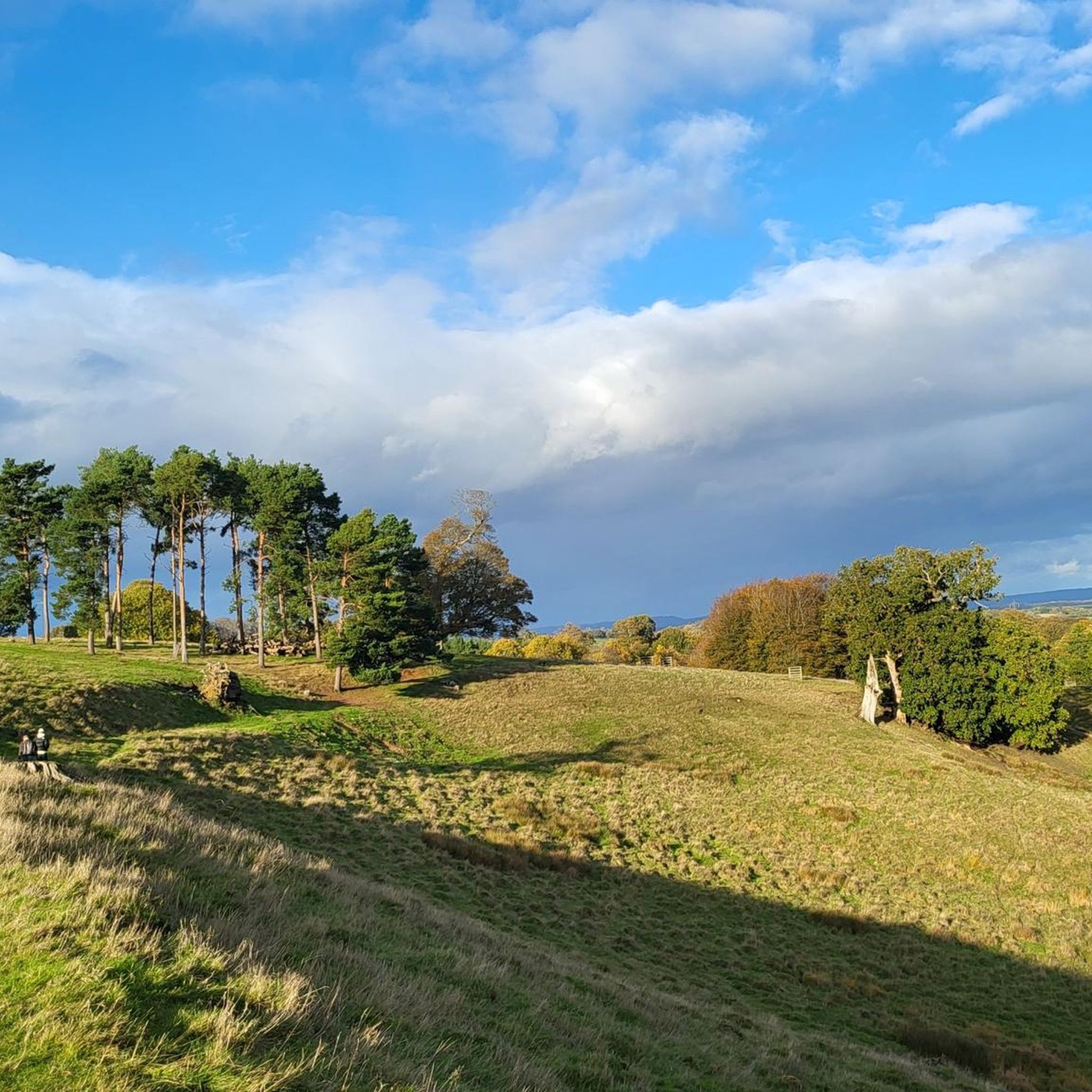
MTB Trails around Tillington
Hiking around Tillington
Cycling around Tillington
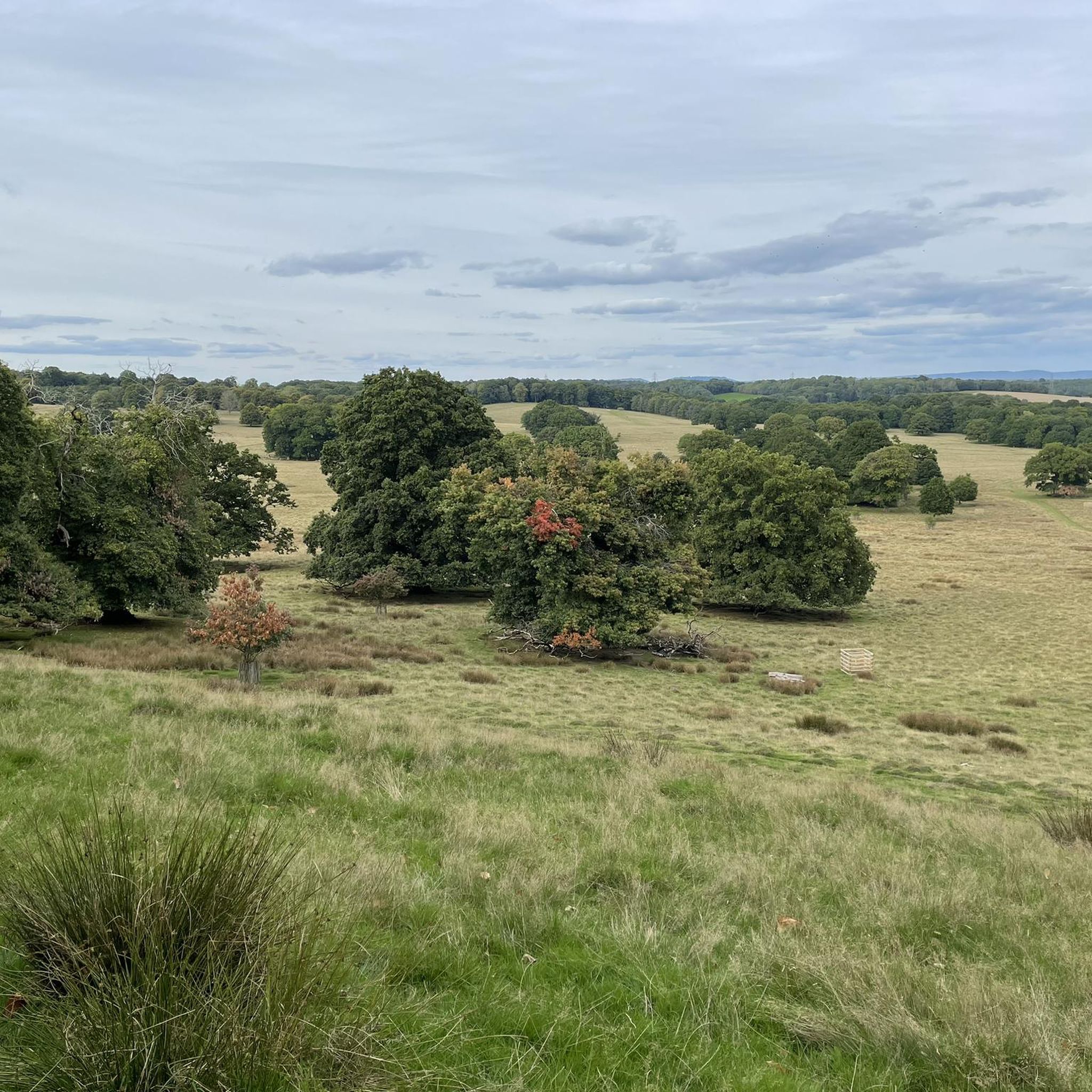
Road Cycling Routes around Tillington
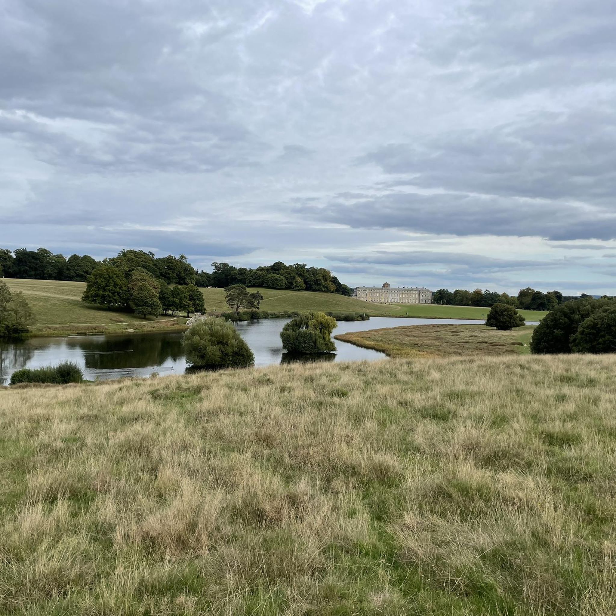
Running Trails around Tillington
Gravel biking around Tillington


Tips from the Community


This is one of many downed aircraft memorials along the South Downs Way. This one is also at the top of Littleton Down, which, at 255 metres high, is also a UK p100 top.
0
0
A decent enough area with a trig pointed top. One of many trig points along the South Downs Way.
0
0

The views were amazing, after the 800 ft climb 😆
1
0

Black Down is the highest point in the South Downs National Park at 290 m. As such it is also is classified one of the UK's Marilyns. Expect a landscape of wavy hair grass, purple heather and pine trees.
0
0

Part of the Slindon Estate, Bignor Hill is an area managed by the National Trust. It's a prominent viewpoint on the South Downs Way, rising to a height of 699 feet (213 m). It features a Roman road sign pointing towards Londinium (London) and Noviomagus Reginorum (Chichester). The sign lies on an intersection of the ancient Roman road known as Stane Street, which connected these cities. Bignor Hill was a strategic location on Stane Street with its high elevation and commanding views of the surrounding countryside.
2
0

One of the best views in the area, it is easy to see why it inspire Alfred Lord Tennyson. Also the highest point in the South Downs National Park.
0
0

Excellent hike. We had walked around here before, but this walk takes you off the main paths at times. We saw the first (native) bluebells poking their heads through and the damage done by the recent storms if anything increased the excellence of the views. One tip; the car park at the start is not big, but there is another one of similar size about 100 yds further on around the corner.
0
0
Frequently Asked Questions
What are the most notable elevated points and viewpoints around Tillington?
The Tillington area, particularly within the South Downs National Park, offers several significant elevated points and viewpoints. Among the most popular are Temple of the Wind Viewpoint, known for its extensive vistas, and Black Down Summit and Viewpoint, which provides 360° views. Another prominent spot is Bignor Hill summit and Roman road signpost, rising to 213 meters (699 feet) on the South Downs Way.
Are there family-friendly walks or viewpoints near Tillington?
Yes, several spots around Tillington are suitable for families. Temple of the Wind Viewpoint is categorized as family-friendly, offering rewarding views. Additionally, the Lancaster Bomber Crash Site Memorial, Littleton Down is also noted as family-friendly, combining historical interest with elevated views.
What historical sites can be found on the elevated points around Tillington?
The region features several historical sites on its elevated points. Bignor Hill summit and Roman road signpost is a significant man-made monument on the South Downs Way, featuring a Roman road sign pointing towards Londinium and Noviomagus Reginorum. Another is the Lancaster Bomber Crash Site Memorial, Littleton Down, commemorating a WWII aircraft crash at the highest point of the downs.
What kind of natural features can I expect to see on the hills around Tillington?
The hills around Tillington offer diverse natural features. At Black Down Summit and Viewpoint, you'll find a large, wooded area to explore. Heyshott Down Trig Point, a Site of Special Scientific Interest, is known for its reclaimed chalk quarry now rich in grasses and plant species like bee orchid, horseshoe vetch, and round-headed rampion, attracting various butterflies.
What outdoor activities are available near the elevated points of Tillington?
Beyond exploring the viewpoints, the Tillington area is excellent for various outdoor activities. You can find numerous cycling routes, such as the 'Noah's Ark Pub, Lurgashall – Lurgashall Village Green loop' or 'Cadence Café – View from Glatting Beacon loop'. For gravel biking, options include the 'South Pond, Midhurst – West Sussex Lanes loop'. Running enthusiasts can enjoy trails like 'Graffham Common – Heyshott Down Trig Point loop' or explore Petworth Deer Park. You can find more details on these activities in the Cycling around Tillington, Gravel biking around Tillington, and Running Trails around Tillington guides.
What is the best time to visit the hills and viewpoints around Tillington?
For the best experience, visiting on a clear day is recommended to fully appreciate the sweeping views. Early mornings are particularly noted for spectacular vistas from spots like Temple of the Wind Viewpoint. While the area is beautiful year-round, a fresh snowfall in winter can offer a unique and stunning perspective from Black Down Summit and Viewpoint.
Are there any specific walking trails that incorporate these elevated points?
Yes, the area is crisscrossed with public footpaths. The 'Tillington Village Loop' is a 9 km trail exploring rolling hills and historic landmarks. Another route, the 'Tillington - Lodsworth - Upperton' walk, offers excellent views over the Rother Valley to the South Downs. Many of the elevated points, such as Bignor Hill summit and Roman road signpost, are directly on or accessible from the South Downs Way.
What kind of views can I expect from the elevated points in Tillington?
The elevated points around Tillington offer sweeping and far-reaching views over the West Sussex countryside and the South Downs National Park. From Black Down Summit and Viewpoint, you can enjoy 360° panoramas, and on a clear day, even see all the way to the sea at Lewis. Bignor Hill summit and Roman road signpost also provides extensive views across the landscape.
Are there pubs or cafes near the walking trails in Tillington?
Yes, the Tillington area and its surrounding villages offer options for refreshments. The historic Horseguards Inn is located within Tillington Parish. Many walking routes, such as those mentioned in the cycling and running guides, often start or pass near local pubs like the Noah's Ark Pub in Lurgashall or The Three Moles Pub in Selham, providing convenient stops.
What is the highest point in the immediate Tillington area?
While Tillington itself is characterized by rolling hills, nearby Littleton Down reaches an elevation of 255 meters (837 feet), making it one of the highest points in the immediate vicinity and a UK p100 top. Bignor Hill is also a prominent viewpoint at 213 meters (699 feet).
Can I spot wildlife while exploring the hills around Tillington?
Yes, the natural areas around Tillington provide opportunities for wildlife spotting. Heyshott Down Trig Point, a Site of Special Scientific Interest, is particularly noted for its increasing plant diversity which helps bring back butterflies such as the chalkhill blue and marbled white. The wooded areas, like those found at Black Down Summit and Viewpoint, also offer habitats for various local fauna.
Most popular routes around Tillington
Most popular attractions around Tillington

Get inspired with the komoot mobile app


Explore more
See even more amazing summits around Tillington with these guides:
