The best walks and hikes around Sørreisa
4.3
(35)
217
hikers
16
hikes
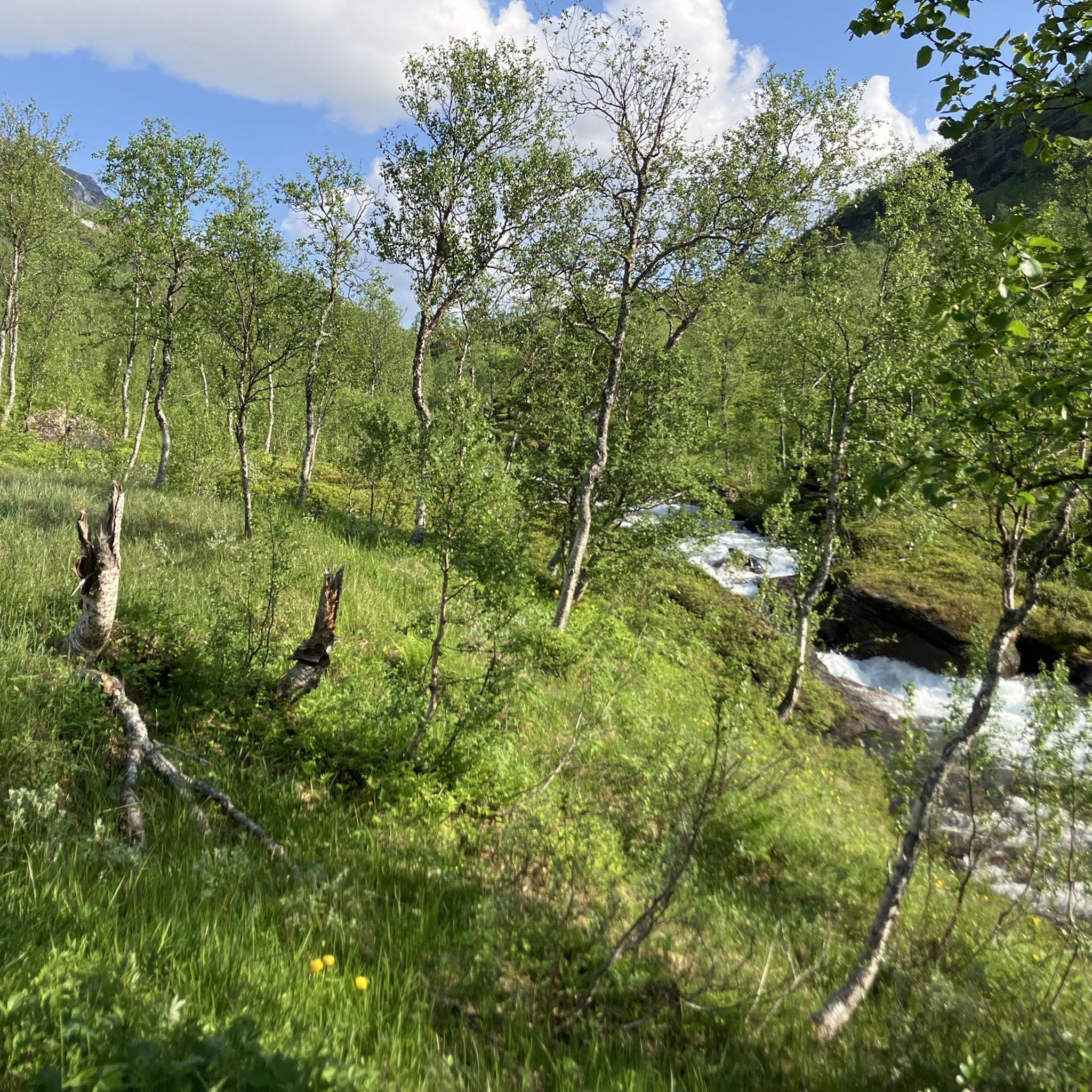
Hiking around Sørreisa offers diverse terrain, characterized by its fjord-framed landscape, rivers, lakes, and mountains. The municipality features lush forests and rugged peaks, with the highest point being Hjerttinden at 1,379.51 meters. Hikers can explore areas with impressive waterfalls, serene waterways, and the extensive Reisa National Park. This varied environment provides a range of experiences from gentle walks to more challenging climbs.
Best hiking trails around Sørreisa
- The most popular hiking route is Nerfossen Waterfall Trail, a 2.5 miles…
Last updated: October 10, 2026
5.0
(1)
6
hikers
4.03km
01:12
130m
130m
Easy hike. Great for any fitness level. Easily-accessible paths. Suitable for all skill levels.
4.0
(1)
10
hikers
4.88km
01:48
330m
330m
Moderate hike. Good fitness required. Easily-accessible paths. Suitable for all skill levels.

1
hikers
14.2km
04:01
320m
320m
Moderate hike. Good fitness required. Easily-accessible paths. Suitable for all skill levels.
4.0
(3)
16
hikers
Easy hike. Great for any fitness level. Easily-accessible paths. Suitable for all skill levels.
3.0
(1)
8
hikers
7.04km
02:28
400m
400m
Moderate hike. Good fitness required. Easily-accessible paths. Suitable for all skill levels.
Get access to more routes and recommendations from other explorers.
Already have an account?
Our route recommendations are based on thousands of hikes, rides, and runs completed by other people on komoot.


Tips from the Community

Easy hike leading to the waterfall but not all the way. Unmaintained path at the end of the route. Difficulty parking at the start of the hike.
0
0
For us, the path was not passable as it leads across a riverbed. If you are prepared for it, you can possibly walk through the 10-degree cold water that goes over ankle height. Unfortunately, we had to turn back.
0
0

This section crosses a magnificent wetland area, typical of the great northern wilderness. You will find yourself surrounded by scattered coniferous groves, ponds, and large wet meadows.
0
0
This little cabin in the middle of nowhere is the end point of this round-trip hike. The place is very quiet and beautiful.
0
0

Really cool with the underwater window. Unfortunately, we were there too early, and there weren't any salmon running up yet.😪
0
0
It's simply impressive how the water pushes through it.
0
0
Frequently Asked Questions
How many hiking trails are available in Sørreisa?
Sørreisa offers a diverse network of over 15 hiking trails, catering to various skill levels. These routes explore the region's unique landscape of fjords, rivers, lakes, and mountains.
What kind of terrain can I expect when hiking in Sørreisa?
Hikers in Sørreisa can expect a varied terrain, from lush forests and tranquil riverbanks to rugged mountains and deep valleys. The landscape is characterized by its fjord-framed setting, with opportunities to explore areas around the Reisafjorden, Skøelvdalen, and even parts of the extensive Reisa National Park.
Are there any easy hiking trails suitable for beginners or families?
Yes, Sørreisa has several easy trails perfect for beginners or families. A popular choice is the Nerfossen Waterfall Trail, an easy 2.5-mile (4.0 km) path leading to a natural cascade. Another accessible option is the Salmon Ladder at the Waterfall – Målselvfossen loop from Moen, which takes you through scenic riverine landscapes.
Can I find hikes that feature waterfalls in Sørreisa?
Absolutely. Sørreisa is known for its impressive waterfalls. The Nerfossen Waterfall Trail is an easy route to a beautiful cascade. The region is also home to significant waterfalls like Reisafossen and Mollisfossen (within Reisa National Park), offering spectacular sights for hikers.
Are there any circular hiking routes in the area?
Yes, you can find circular routes in Sørreisa. The Salmon Ladder at the Waterfall – Målselvfossen loop from Moen is a good example, offering a pleasant loop through riverine scenery.
What are some notable natural attractions or landmarks to see while hiking?
While hiking in Sørreisa, you can discover several natural attractions. The Målselvfossen waterfall is a significant sight. You might also encounter the Salmon Ladder at the Waterfall or visit the Kvilebua Lookout Cabin for panoramic views. The region's fjords, such as Reisafjorden, and the majestic mountains like Hjerttinden, also serve as stunning natural landmarks.
When is the best time of year to go hiking in Sørreisa?
The best seasons for hiking in Sørreisa are spring (April-June) when the flora blooms as the snow melts, and summer (July-August) with its long daylight hours and generally ideal weather conditions. These periods offer the most pleasant hiking experiences.
Are dogs allowed on the hiking trails in Sørreisa?
Generally, dogs are welcome on hiking trails in Sørreisa, but it's important to keep them on a leash, especially during nesting seasons for birds and when livestock or reindeer are present. Always follow local regulations and be considerate of wildlife and other hikers.
What do other hikers say about their experiences in Sørreisa?
The hiking routes in Sørreisa are highly rated by the komoot community, with an average score of 4.3 stars from over 20 reviews. Hikers often praise the diverse terrain, the stunning fjord views, and the opportunities to explore both gentle paths and more challenging mountain treks.
Are there any longer or more challenging hikes for experienced trekkers?
Yes, for experienced trekkers, Sørreisa offers more strenuous options. The Ohytta cabin from Sørreisa is a moderate 8.8-mile (14.2 km) route. The region's highest point, Hjerttinden (1,379.51 meters), also provides opportunities for challenging climbs. Additionally, the renowned Nordkalott Trail passes through Reisa National Park, offering extensive and diverse terrain for multi-day treks.
What kind of wildlife might I encounter on the trails?
While hiking in Sørreisa, you might encounter various local fauna. Keep an eye out for reindeer grazing, moose wandering through dense forests, and eagles soaring overhead. The diverse natural environment supports a rich array of wildlife.
How can I reach the hiking trailheads in Sørreisa?
Sørreisa is located in Midt-Troms and is accessible by road. Many trailheads have designated parking areas. For those traveling from further afield, Bardufoss Airport is relatively close, making it convenient to reach the region and its hiking opportunities.
Most popular routes around Sørreisa
Most popular attractions around Sørreisa

Get inspired with the komoot mobile app


Explore more
Browse the best Hikes in other regions.
