The best mountain hikes around Liesingberg
18
hikers
2
hikes
Mountaineering around Liesingberg offers challenging routes through an alpine landscape characterized by prominent peaks and varied terrain. The region features ascents to summits like Lärchkogel, providing expansive views of the surrounding mountains. Dense forests and open alpine sections define many of the trails, catering to experienced mountaineers.
Best mountaineering routes around Liesingberg
- The most popular mountaineering route is View from Gspitzte Wand – View of Friesingwand loop from Trofaiach, a 4.7 miles (7.5 km) difficult trail that takes 2…
Last updated: June 25, 2026
2
hikers
7.52km
02:37
400m
400m
Hard mountaineering route. Good fitness required. Sure-footedness, sturdy shoes and alpine experience required.
6
hikers
16.8km
06:26
1,130m
1,130m
Hard mountaineering route. Very good fitness required. Mostly accessible paths. Sure-footedness required.

Sign up for free
5
hikers
8.34km
03:02
510m
510m
Moderate mountaineering route. Good fitness required. Easily-accessible paths. Suitable for all skill levels.
5
hikers
9.77km
03:34
610m
610m
Moderate mountaineering route. Good fitness required. Easily-accessible paths. Suitable for all skill levels.
Our route recommendations are based on thousands of hikes, rides, and runs completed by other people on komoot.
Start today with a free account
Your next adventure awaits.
Login or Signup

Tips from the Community


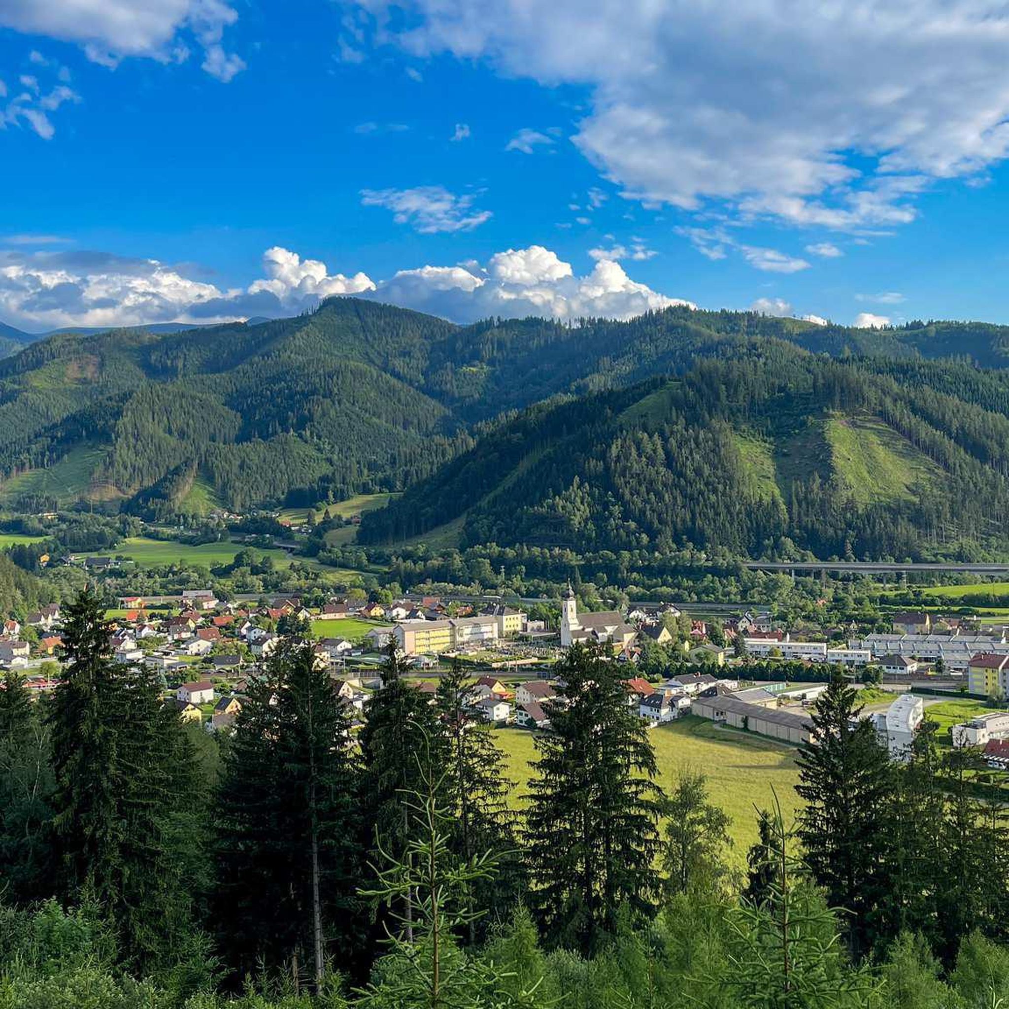
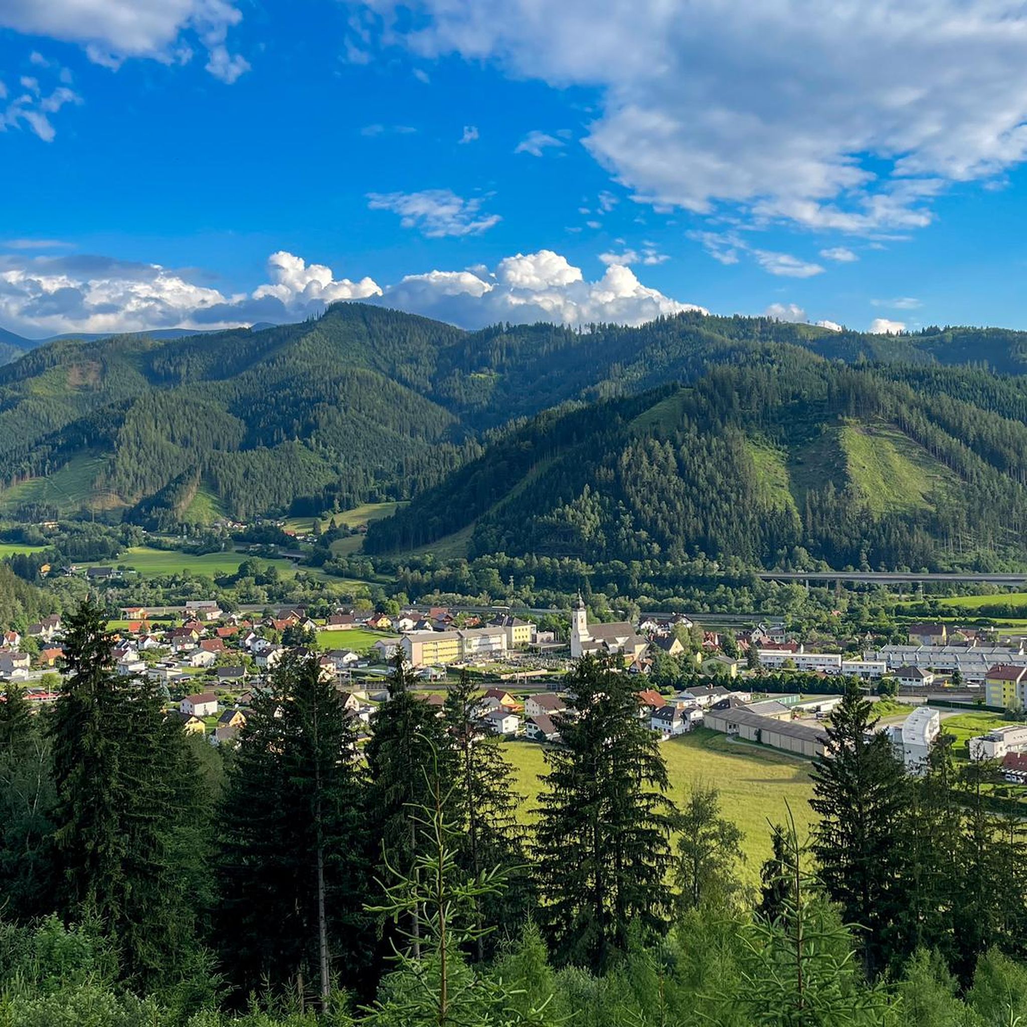
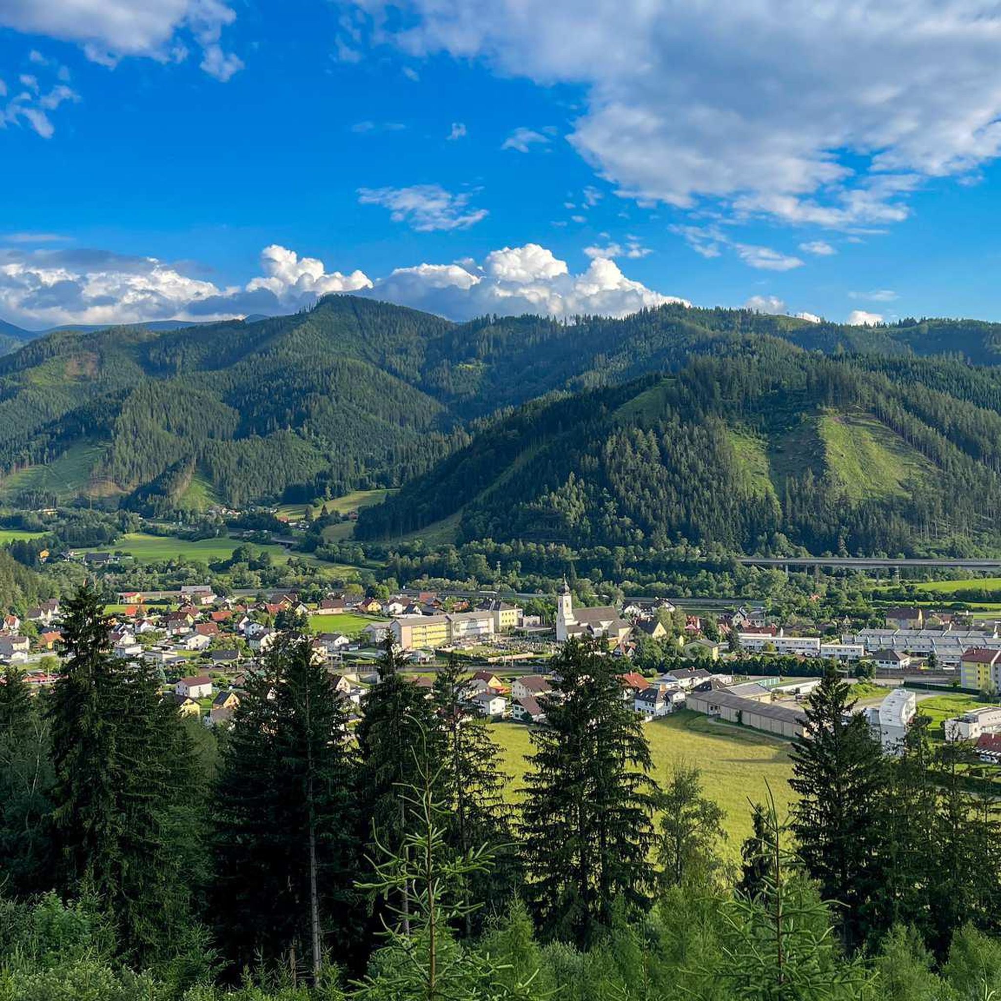
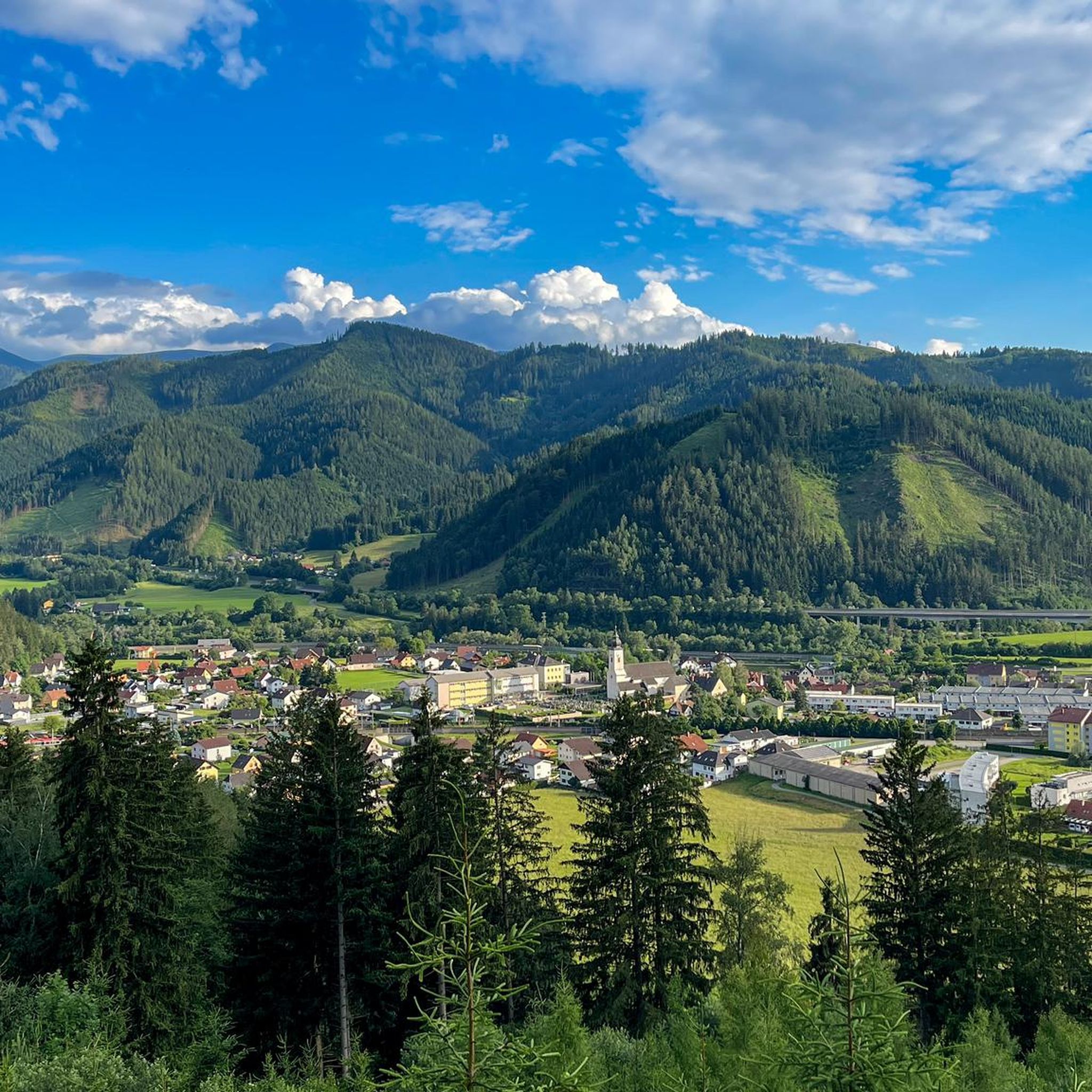
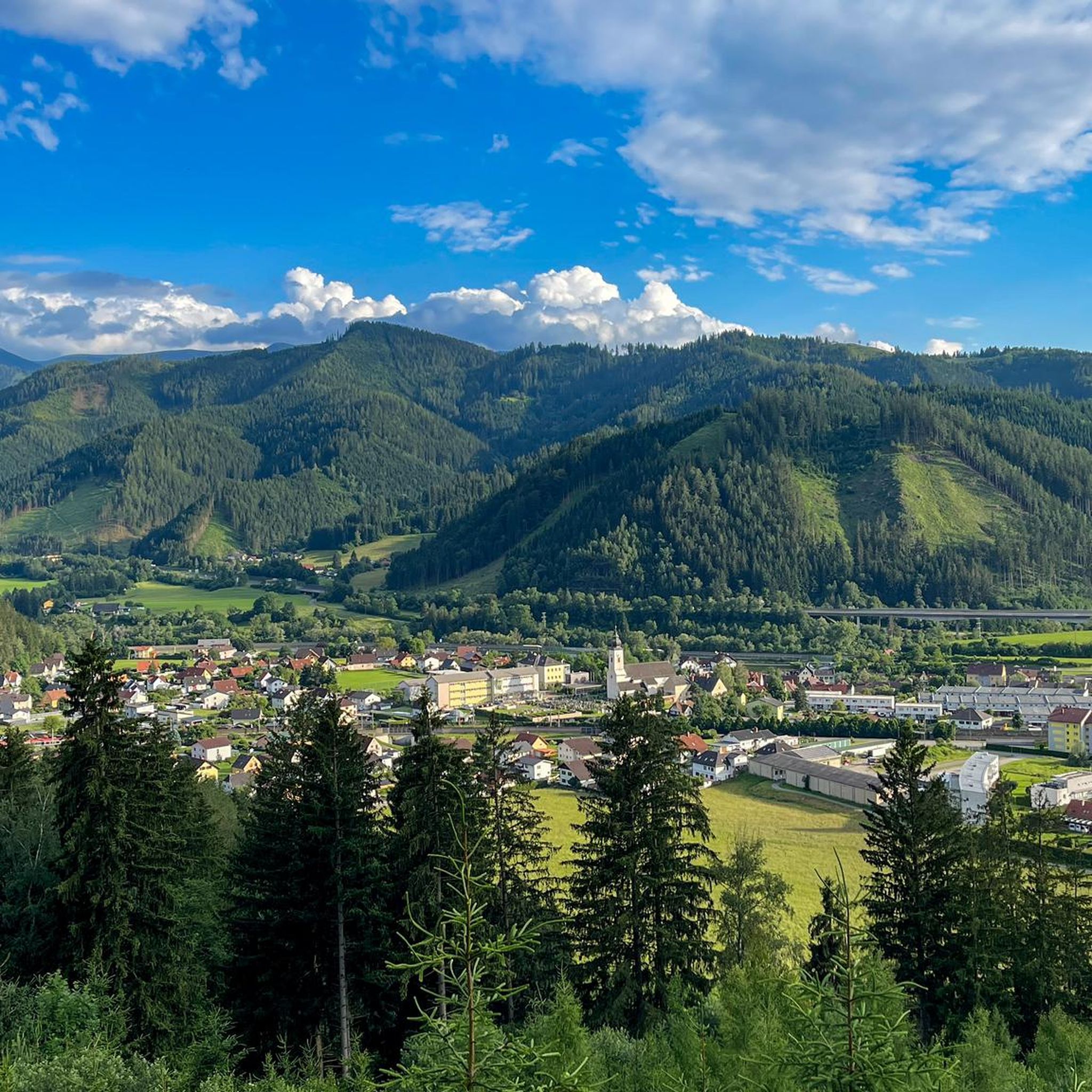
When the weather is clear, you can enjoy a wonderful mountain panorama from the Hochschwab to the Groß Glockner.
0
0

Nice little parking lot.
2
0
Nice place to take a break.
1
0
Frequently Asked Questions
Are there any easy mountaineering routes around Liesingberg?
Mountaineering around Liesingberg is primarily known for its challenging routes, catering to experienced mountaineers. The trails often involve significant ascents and varied alpine terrain. While there are no routes specifically categorized as 'easy' in this guide, some routes might be considered moderate depending on your experience level, such as the Lautscherkoppe – Windegg loop from Trofaiach.
What is the typical duration for mountaineering routes in Liesingberg?
The mountaineering routes in Liesingberg vary in length and difficulty. You can expect tours to range from approximately 2 hours 30 minutes for shorter, more direct ascents, to around 4 hours 30 minutes for longer loops that cover more ground and elevation. For example, the Rest Area at Cabin 19 – Lärchkogel Summit (1,894 m) loop from Geierkögerl typically takes about 4 hours 36 minutes.
Is parking available at the trailheads for Liesingberg mountaineering routes?
While specific parking information for each trailhead isn't always detailed, it's common for popular mountaineering starting points in alpine regions like Liesingberg to have designated parking areas, often near villages or mountain huts. We recommend checking local signage upon arrival or consulting detailed maps for specific parking options at your chosen trailhead.
Can I reach the mountaineering trailheads in Liesingberg using public transport?
Access to remote alpine trailheads by public transport can be limited in regions like Liesingberg. While larger towns might have bus or train connections, reaching the exact starting points of some mountaineering routes may require a combination of public transport and a short taxi ride or a longer walk. It's advisable to research specific bus routes and schedules for the nearest towns to your chosen trailhead before your trip.
Are the mountaineering routes around Liesingberg suitable for families with children?
Given that the mountaineering routes around Liesingberg are generally described as challenging and primarily for experienced mountaineers, they may not be suitable for young children or families seeking very easy walks. These trails often involve significant elevation gain, varied terrain, and longer durations. Families with older, experienced, and fit children might find some moderate routes manageable, but caution and thorough preparation are advised.
Are the mountaineering routes near Liesingberg dog-friendly?
Many mountaineering routes in alpine regions are dog-friendly, but it's crucial to keep your dog on a leash, especially in areas with livestock or wildlife. Be mindful of your dog's fitness level for challenging ascents and descents, and ensure you carry enough water for both of you. Always check for any local restrictions or protected areas where dogs might not be permitted.
What is the best season for mountaineering in Liesingberg?
The best season for mountaineering in Liesingberg typically runs from late spring to early autumn (roughly June to September). During these months, snow has usually melted from higher elevations, and weather conditions are generally more stable. However, even in summer, alpine weather can change rapidly, so always be prepared for cooler temperatures, rain, and strong winds. Winter mountaineering is possible but requires specialized equipment and experience due to snow, ice, and avalanche risks.
Are there any circular mountaineering routes in Liesingberg?
Yes, several mountaineering routes in Liesingberg are designed as circular loops, allowing you to start and end at the same point without needing to retrace your steps. An example is the View from Gspitzte Wand – View of Friesingwand loop from Trofaiach, which offers panoramic views as you complete the circuit.
What kind of wildlife can I expect to see while mountaineering in Liesingberg?
The alpine and forested landscapes around Liesingberg are home to various wildlife. You might encounter chamois or ibex on higher rocky slopes, red deer in the forests, and various bird species, including birds of prey. Keep a respectful distance and avoid disturbing their natural habitat. Early mornings or late evenings often provide the best chances for wildlife sightings.
What do other mountaineers enjoy most about the routes in Liesingberg?
Mountaineers exploring Liesingberg often praise the challenging summit ascents, the varied forest trails, and the expansive alpine views. The region offers a true alpine experience with prominent peaks and diverse terrain. Over 40 mountaineers have used komoot to explore these routes, appreciating the demanding nature of the trails and the rewarding panoramas.
Are there any cafes or pubs near the mountaineering trails in Liesingberg?
In alpine regions, you can often find mountain huts (Almhütten) or guesthouses (Gasthäuser) in valleys or at strategic points along popular routes, offering refreshments and traditional meals. While specific establishments vary, it's a good idea to check maps or local information for options near your chosen trailhead or along the route for a well-deserved break after your mountaineering adventure.
Most popular routes around Liesingberg

Get inspired with the komoot mobile app


Explore more
Browse the best Mountain Hikes & Routes in other regions.
