The best walks and hikes around Höytiäinen
4.0
(6)
63
hikers
10
hikes
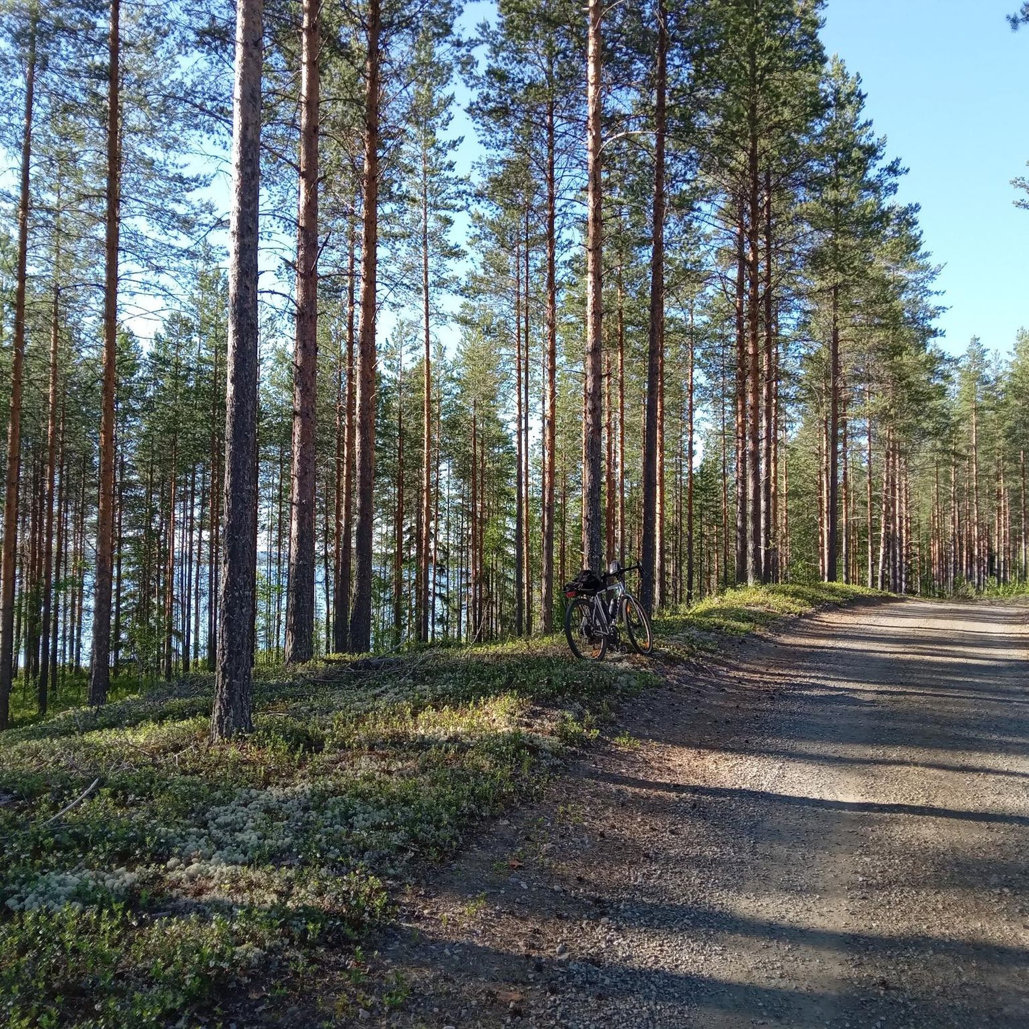
Hiking around Höytiäinen, located in North Karelia, Finland, offers diverse landscapes characterized by serene lakeside views, dense forests, and hilly terrain. The region is centered around Lake Höytiäinen, featuring varied island formations and a mix of barren heaths and green glades. This area provides a range of well-maintained trails suitable for various hiking preferences.
Best hiking trails around Höytiäinen
- The most popular hiking route is Satamalahden lintutorni – Sataman uimaranta loop from Kontiolahti, a 3.8 miles (6.2 km) trail…
Last updated: August 18, 2026
9
hikers
8.63km
02:14
50m
50m
Moderate hike. Good fitness required. Easily-accessible paths. Suitable for all skill levels.
1
hikers
12.0km
03:09
90m
90m
Moderate hike. Good fitness required. Easily-accessible paths. Suitable for all skill levels.

Sign up for free
7
hikers
6.19km
01:38
60m
60m
Easy hike. Great for any fitness level. Easily-accessible paths. Suitable for all skill levels.
21.1km
05:28
110m
140m
Hard hike. Very good fitness required. Easily-accessible paths. Suitable for all skill levels.
19.1km
05:01
110m
120m
Hard hike. Very good fitness required. Easily-accessible paths. Suitable for all skill levels.
Get access to more routes and recommendations from other explorers.
Sign up for free
Already have an account?
Our route recommendations are based on thousands of hikes, rides, and runs completed by other people on komoot.
Start today with a free account
Your next adventure awaits.
Login or Signup
Tips from the Community

How about a swing instead of a bench to take a rest? From this swing you can take a look at the beautiful surroundings from a whole different angle.
0
0
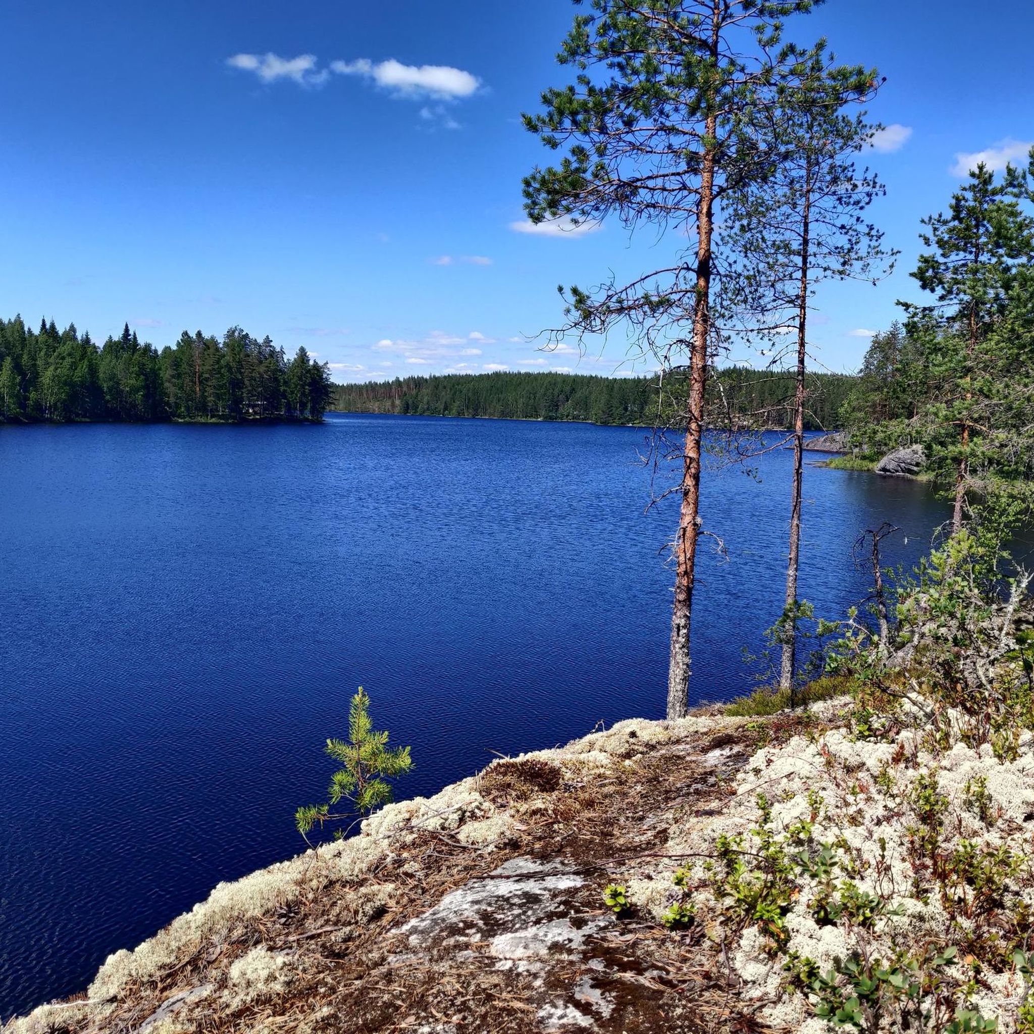
From here you have an impressive view of the water below.
0
0
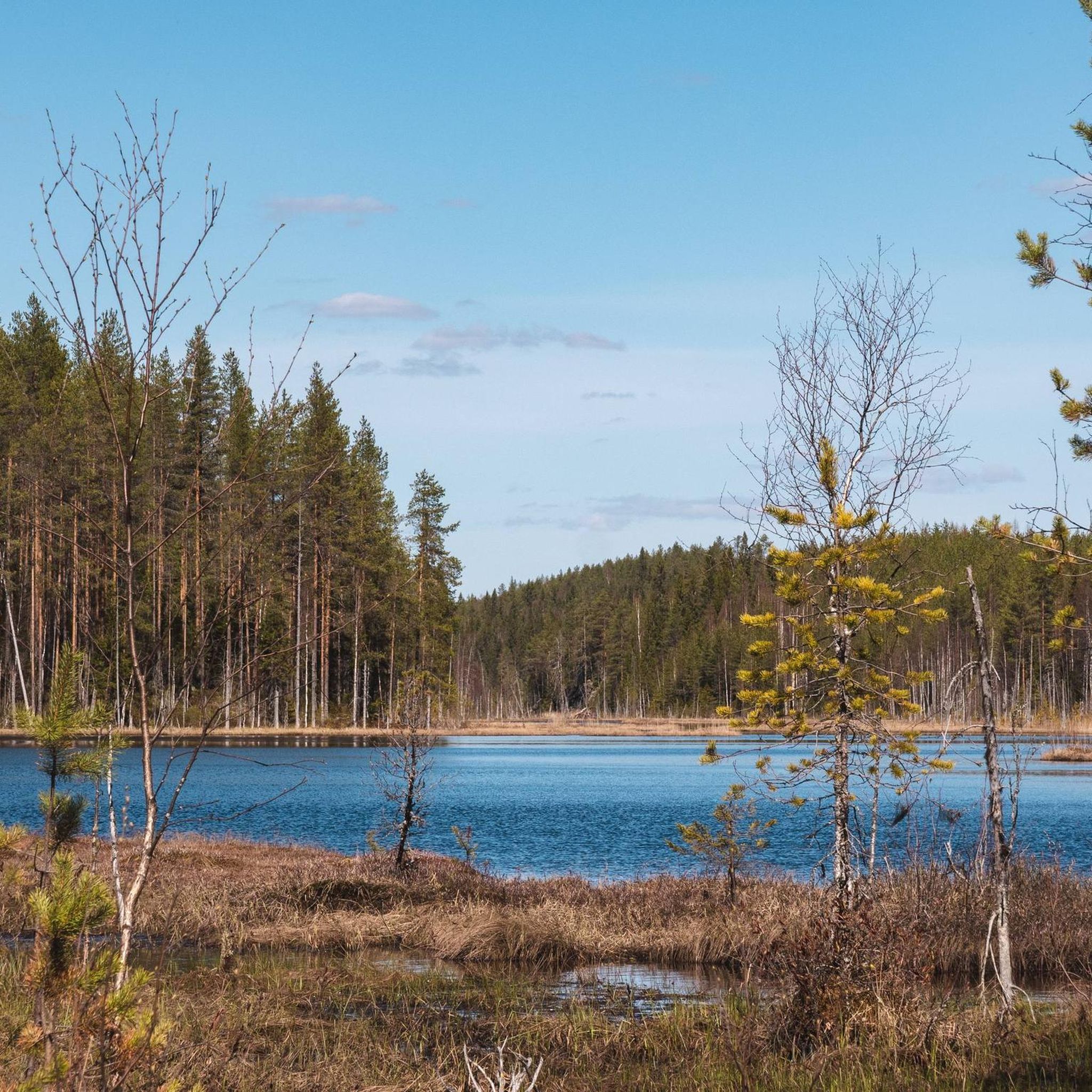
Here, the forest meets the water. You can walk along the rocky, rugged shore path and enjoy the best of both worlds: views of the water and the peaceful forest.
0
0

Puntarikoski Hydroelectric Power Plant is a small river power station in North Karelia, harnessing the flow at Puntarikoski rapid to produce renewable electricity while blending into the surrounding forested landscape.
1
0

Here you will find wood to make a fire and access to a toilet.
0
0

This beach is a perfect spot to park your bike or take a break from your hike, stretch out, and enjoy the view of the water and the surrounding nature. Perfect for a relaxing stop to recharge before hitting the trails again.
0
0
A smooth and playful singletrack winding through peaceful pine forest. Fast, flowy, and perfect for letting the wheels roll. Also beautiful for hikers.
0
0

Frequently Asked Questions
What kind of terrain can I expect when hiking around Höytiäinen?
The Höytiäinen region, part of North Karelia, Finland, offers a diverse landscape. You'll find lush forests, crystal-clear lakes, and a hilly terrain. The area includes varied island formations, barren heaths, and green glades, providing a rich and varied environment for hiking.
Are there hiking trails suitable for beginners or those looking for an easy walk?
Yes, Höytiäinen offers several easy hiking options. For instance, the Vierevänniemen uimaranta loop from Kontiolahti is an easy 3.4-mile (5.6 km) path that provides access to a beach and scenic lake views. The region has 4 easy routes available, making it suitable for various fitness levels.
What are some notable natural features or landmarks to look out for on the trails?
Hikers can discover several interesting natural features. Lake Höytiäinen itself, the 15th largest lake in Finland, offers scenic paths along its shoreline. You might also encounter unique 'hogbacks' or glaciated rock islets. The Salpalinja Trail leads through historical landscapes featuring World War II tank obstacles, creating a unique atmosphere.
Are there any circular hiking routes in the Höytiäinen area?
Yes, many trails around Höytiäinen are designed as loops. For example, the Satamalahden lintutorni – Sataman uimaranta loop from Kontiolahti is a popular 3.8-mile (6.2 km) circular route offering lake views and a birdwatching tower. Jouhteninen Island also features two short circular trails.
What is the best time of year to go hiking in Höytiäinen?
The Höytiäinen region is beautiful year-round. While summer offers lush greenery and pleasant temperatures for hiking, the area is also suitable for winter activities like snowmobiling and cross-country skiing. The diverse landscapes provide unique experiences in every season.
Are there any family-friendly hiking options or trails suitable for children?
Yes, there are options suitable for families. The Accessible Route, Lykynpolut, is an easy, flat, and scenic option designed for all abilities. Additionally, the shorter circular trails on Jouhteninen Island, with campfire sites, can be a great day trip for families.
Can I bring my dog on the hiking trails around Höytiäinen?
While specific regulations for each trail may vary, generally, many outdoor areas in Finland are dog-friendly, especially if dogs are kept on a leash. It's always recommended to check local signage or specific trail information for any restrictions before heading out with your pet.
How long do hikes typically take in the Höytiäinen region?
Hike durations vary depending on the route and your pace. For example, the Satamalahden lintutorni – Sataman uimaranta loop from Kontiolahti typically takes about 1 hour 38 minutes to complete, while the Holiday Center Koli Freetime – Abandoned Wooden Cabin loop from Koli Freetime, a moderate 6.2-mile (10 km) trail, takes around 2 hours 40 minutes.
Are there opportunities for wild swimming after a hike in Höytiäinen?
Lake Höytiäinen is known for its clean waters, making it suitable for swimming. Many trails, such as the Vierevänniemen uimaranta loop from Kontiolahti, provide access to beaches and the lake shore, offering refreshing spots for a dip after your hike.
What do other hikers say about the trails in Höytiäinen?
The trails in Höytiäinen are highly rated by the komoot community, with an average score of 4.2 stars from 5 reviews. Hikers often praise the lush forests, crystal-clear lakes, and varied terrain that define the region's outdoor experience.
Are there any challenging hikes for experienced hikers?
While most routes in the immediate Höytiäinen area are easy to moderate, the broader region offers more demanding options. The Kolvananuuro circular trail, for instance, is a demanding 5-kilometer loop through a steep-sided gorge, requiring sturdy shoes due to its rocky terrain. The Holiday Center Koli Freetime – Abandoned Wooden Cabin loop from Koli Freetime is also rated as moderate.
What is the Kolvananuuro Gorge and can I hike there?
Kolvananuuro Gorge is a striking natural wonder, a steep-sided fracture valley formed 1.8 billion years ago, with cliffs rising 70-80 meters. It's a nature reserve with unique vegetation. There is a demanding 5-kilometer circular trail through the gorge, equipped with lean-to shelters, but it requires sturdy footwear due to its steep and rocky nature.
Are there any historical trails in the area?
Yes, the Salpalinja Trail offers a unique historical experience. This trail leads through landscapes adorned with tank stone obstacles from World War II, providing a glimpse into the region's past while enjoying the forest scenery.
Most popular routes around Höytiäinen

Get inspired with the komoot mobile app


Explore more
Browse the best Hikes in other regions.
