The best mountain hikes around Lake Palagnedra
4.7
(5)
35
hikers
3
hikes
Mountaineering routes around Lake Palagnedra traverse the mountainous terrain of Ticino, characterized by significant elevation changes and panoramic views. The region features prominent summits such as Monte Limidario and Pizzo Leone, offering challenging ascents. Dense woodlands and alpine landscapes define many of the trails, providing varied environments for exploration.
Best mountaineering routes around Lake Palagnedra
- The most popular mountaineering route is Monte Limidario Summit (2,189 m) loop from Bosco Sacro di Mergugno, a 6.9 miles (11.2 km) trail that…
Last updated: July 8, 2026
4.0
(1)
14
hikers
11.4km
06:23
1,070m
1,070m
Hard mountaineering route. Very good fitness required. Sure-footedness, sturdy shoes and alpine experience required.
5.0
(2)
10
hikers
13.6km
07:17
1,220m
1,220m
Hard mountaineering route. Very good fitness required. Sure-footedness, sturdy shoes and alpine experience required.

Sign up for free
5.0
(2)
11
hikers
12.4km
06:47
1,200m
1,200m
Hard mountaineering route. Very good fitness required. Sure-footedness, sturdy shoes and alpine experience required.
Our route recommendations are based on thousands of hikes, rides, and runs completed by other people on komoot.
Start today with a free account
Your next adventure awaits.
Login or Signup
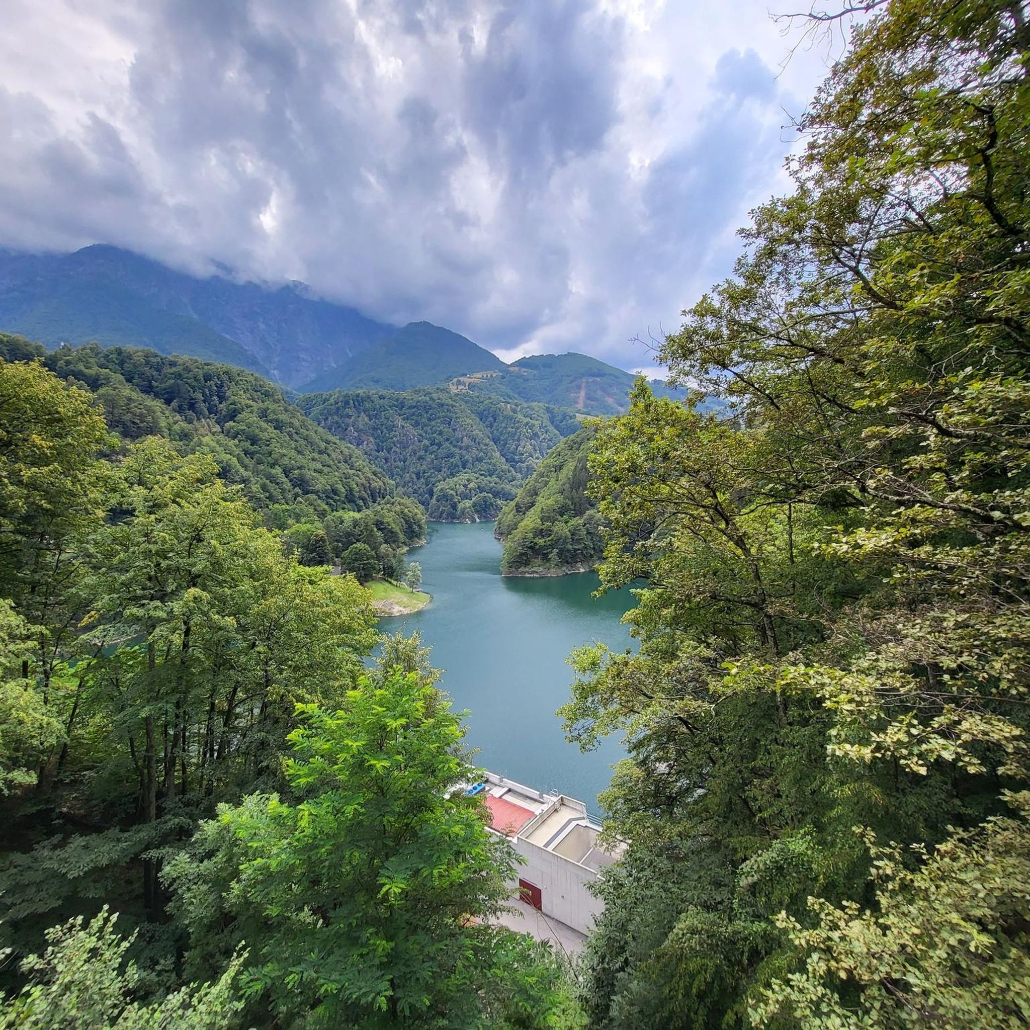
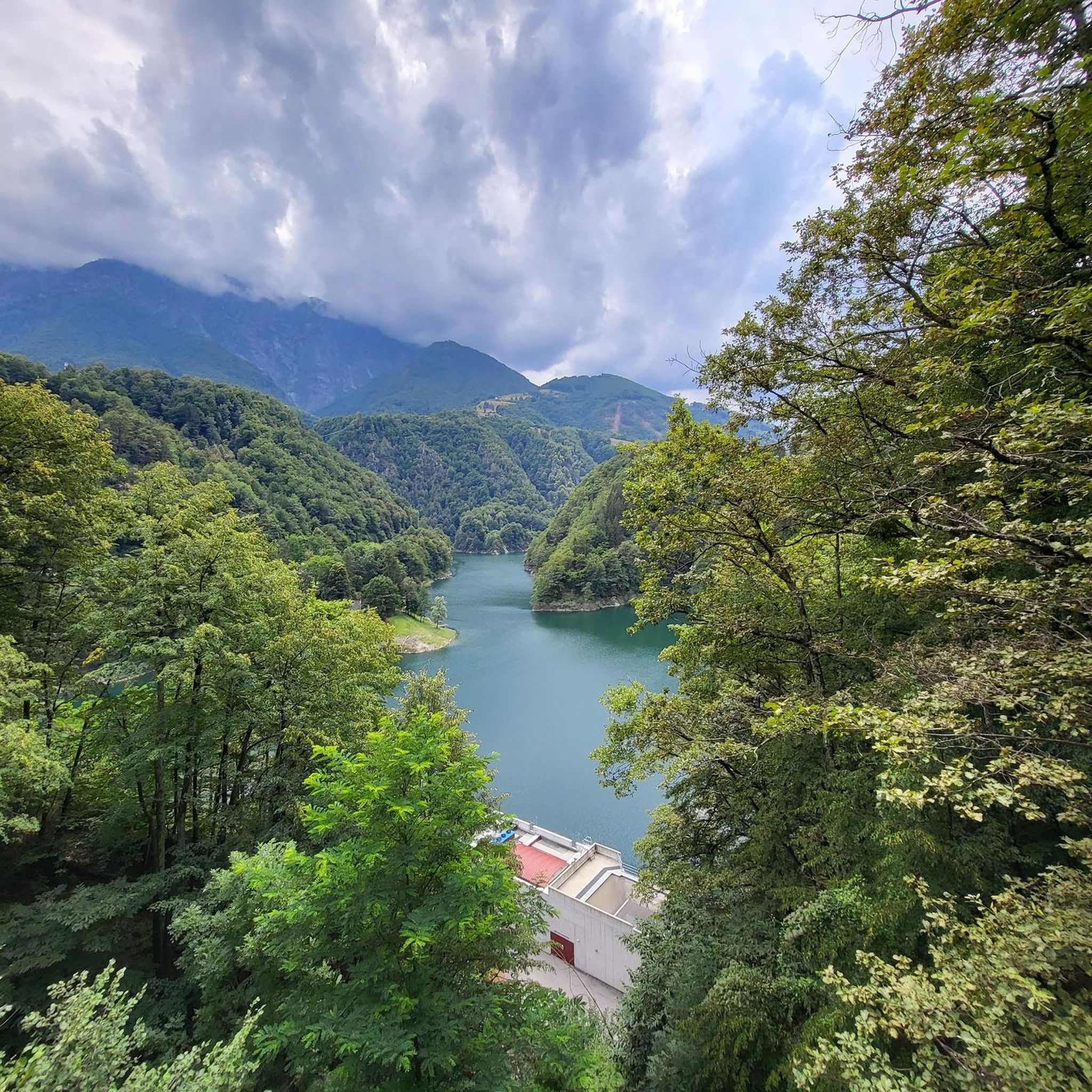
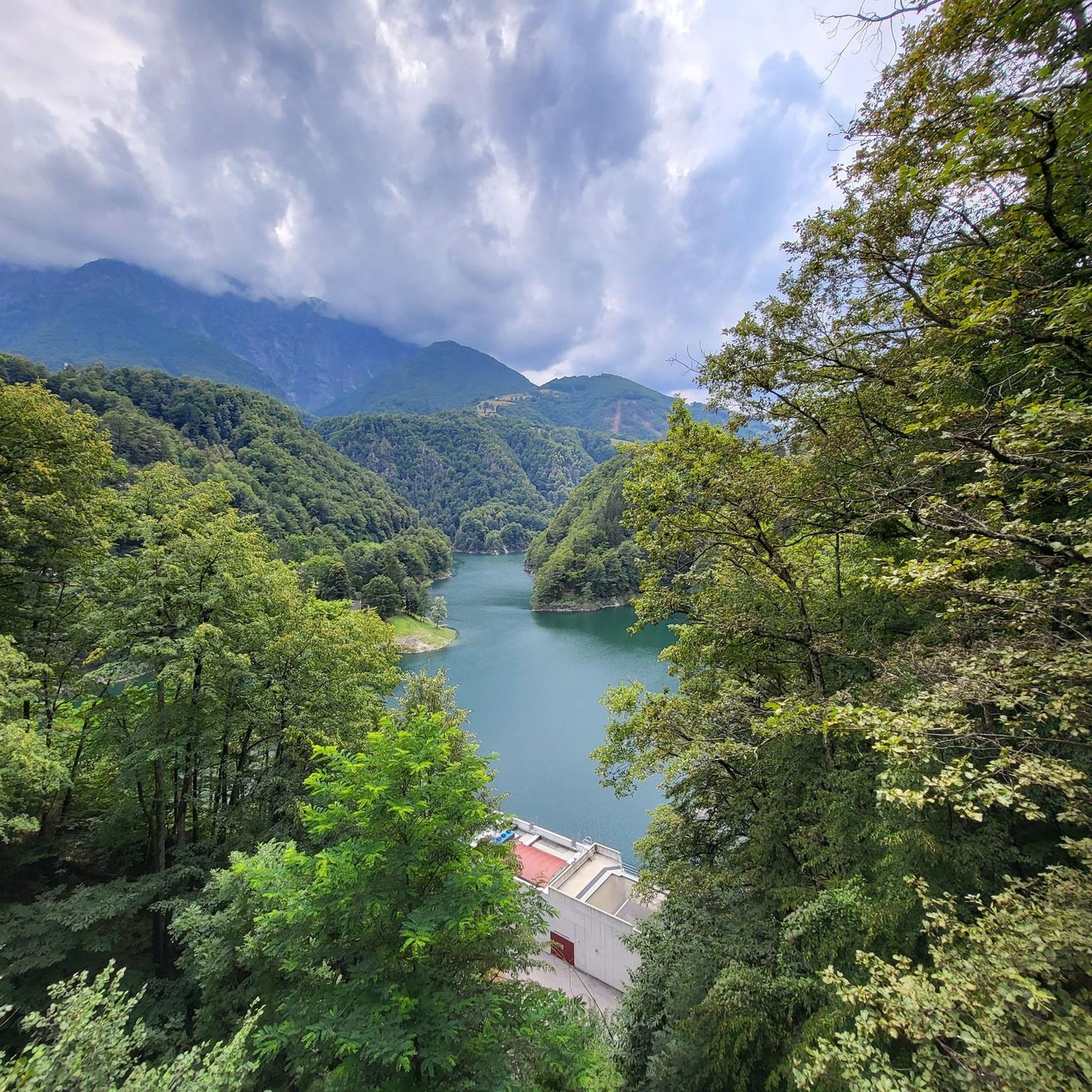
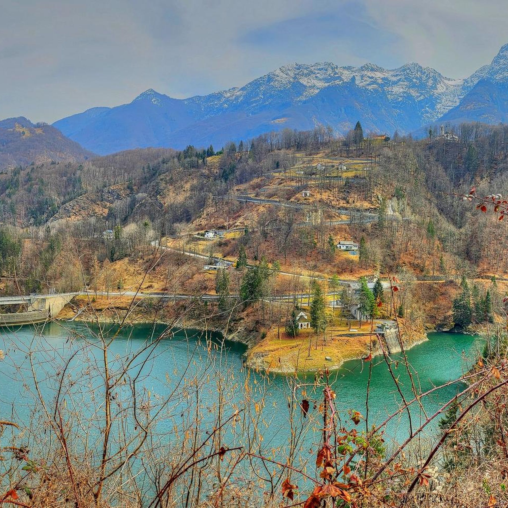

Tips from the Community


Beautiful place and nature, fantastic view on Lake Maggiore, regular and very nice uphill path to the refuge.
0
0

Capanna Al Legn is an Alpine refuge located at 1,802 meters above sea level on the slopes of Gridone, above Brissago, in the Canton of Ticino. Inaugurated in 1995, the modern structure is spread over three floors and offers 12 beds, a kitchen equipped with wood and gas stoves, hot and cold water, toilets and a shower. The hut is accessible all year round via paths that start from the Brissago mountains, with a travel time of about two hours. From its panoramic position, you can enjoy a breathtaking view of Lake Maggiore and the Brissago Islands. The use of a sleeping bag is mandatory, available on site at a cost of CHF 7. For information and reservations, you can contact the number +41 79 823 98 07.
2
1

The unattended Rifugio Al Legn is located in a panoramic position on Alpe Arolgia above Brissago, offering an incredible 180-degree view of Lake Maggiore, perfect for mountain and nature lovers.
0
0

Particularly noteworthy is the fantastic view of Lake Maggiore directly at your feet. The approaches are long and steep.
0
0

A small, little-frequented village and mountain pasture that offers a fantastic view of Lake Maggiore. You will find some renovated stone houses, some wooden tables for a picnic. At the end of the road there is a car park from which you can access the forest reserve of the Sacred Woods of Mergugno.
1
0

Super hiking summit with a little kick.
0
0

From this summit you have a magnificent view. For this it is worthwhile to take on the ascent.
0
0
Frequently Asked Questions
What is the typical difficulty level for mountaineering routes around Lake Palagnedra?
Mountaineering routes in the Lake Palagnedra region are generally challenging. Most routes are classified as difficult, featuring significant elevation changes and rugged terrain. There is at least one moderate option available for those seeking a less strenuous experience, such as the Pizzo Leone loop from Ronco sopra Ascona.
Are there any circular mountaineering routes available near Lake Palagnedra?
Yes, all the featured mountaineering routes around Lake Palagnedra are circular. This includes challenging options like the Monte Limidario Summit (2,189 m) loop from Bosco Sacro di Mergugno and the Monte Limidario Summit (2,189 m) – View of Lake Maggiore loop from San Bartolomeo, as well as the moderate Pizzo Leone loop from Ronco sopra Ascona.
What is the best time of year to go mountaineering in the Lake Palagnedra area?
The ideal time for mountaineering around Lake Palagnedra is typically from late spring to early autumn (May to October). During these months, the weather is generally more stable, and trails are free of snow at higher elevations, offering the best conditions for challenging ascents and panoramic views. Always check local weather forecasts before heading out.
Are there any family-friendly mountaineering options around Lake Palagnedra?
While many mountaineering routes in this region are classified as difficult due to significant elevation gain and rugged terrain, the Pizzo Leone loop from Ronco sopra Ascona is a moderate option. This route is shorter and less demanding, making it potentially more suitable for families with older children who are accustomed to hiking, though it still requires a good level of fitness.
What kind of views can I expect on the mountaineering routes?
The mountaineering routes around Lake Palagnedra offer diverse and spectacular views. You can expect panoramic vistas of Lake Maggiore from summits like Monte Limidario, as seen on the Monte Limidario Summit (2,189 m) – View of Lake Maggiore loop from San Bartolomeo. Trails also traverse dense woodlands and open alpine landscapes, providing varied scenic backdrops.
What are some notable points of interest or landmarks along the routes?
Along the mountaineering routes, you can discover unique natural and cultural landmarks. The Monte Limidario Summit (2,189 m) loop from Bosco Sacro di Mergugno passes through a sacred wood, offering a distinctive natural experience. The Cruit – Al Legn Hut loop from San Bartolomeo leads to the Al Legn Hut, a traditional alpine refuge.
What gear should I bring for mountaineering around Lake Palagnedra?
Given the challenging nature of most routes, it's essential to be well-prepared. We recommend sturdy hiking boots with good ankle support, appropriate layers of clothing for varying weather conditions, a waterproof jacket, sufficient water and snacks, a map or GPS device, and a first-aid kit. Trekking poles can also be very helpful on steep ascents and descents.
How long do the mountaineering routes typically take to complete?
The duration of the routes varies depending on their difficulty and length. For instance, the moderate Pizzo Leone loop from Ronco sopra Ascona can be completed in about 3 hours 12 minutes. More difficult routes, such as the Monte Limidario Summit (2,189 m) loop from Bosco Sacro di Mergugno, typically take around 6 hours 17 minutes, while others can extend to over 7 hours.
Is it possible to reach the trailheads using public transport?
The Lake Palagnedra region, being in Ticino, Switzerland, generally has good public transport connections to many villages. While specific public transport options to every trailhead might vary, villages like San Bartolomeo and Ronco sopra Ascona, which serve as starting points for routes like the Cruit – Al Legn Hut loop, are typically accessible by bus or postbus services. We recommend checking local transport schedules for the most up-to-date information.
What do other mountaineers say about the routes in Lake Palagnedra?
The mountaineering routes around Lake Palagnedra are highly regarded by the komoot community, with an average rating of 4.8 stars from over 6 reviews. Reviewers often praise the challenging nature of the ascents, the rewarding panoramic views, and the varied forest and alpine terrain that defines the region's trails.
Are there any options for advanced mountaineers seeking a significant challenge?
Yes, advanced mountaineers will find several challenging options. Routes like the Monte Limidario Summit (2,189 m) – View of Lake Maggiore loop from San Bartolomeo involve substantial elevation gain (over 1,100 meters) and cover distances of more than 13 kilometers, providing a demanding experience for experienced climbers.
Are there any huts or refuges along the mountaineering trails?
Yes, some routes lead to or pass by alpine huts. For example, the Cruit – Al Legn Hut loop from San Bartolomeo specifically includes the Al Legn Hut, which can be a good spot for a break or to enjoy the alpine surroundings.
Most popular routes around Lake Palagnedra
Most popular attractions around Lake Palagnedra

Get inspired with the komoot mobile app


Explore more
Browse the best Mountain Hikes & Routes in other regions.
