The best road cycling routes around Natural Park Klafferkessel
4.8
(5)
67
riders
5
rides
Road cycling around Natural Park Klafferkessel offers diverse routes within the broader Schladming-Dachstein region. The area features varied topography, including flat valley rides along sections of the Enns Cycle Path and challenging mountain climbs. Cyclists can explore panoramic roads and side roads through valleys like Obertal and Untertal, providing scenic views with minimal traffic. This region is characterized by impressive natural beauty and well-maintained roads, making it suitable for various fitness levels.
Best road cycling routes around Natural Park Klafferkessel
…Last updated: October 11, 2026
5.0
(1)
7
riders
189km
10:13
2,950m
2,950m
Hard road ride. Very good fitness required. Some segments of this route may be unpaved and difficult to ride.
14
riders
116km
06:30
2,220m
2,220m
Hard road ride. Very good fitness required. Some segments of this route may be unpaved and difficult to ride.

28
riders
36.4km
01:59
630m
630m
Moderate road ride. Good fitness required. Some segments of this route may be unpaved and difficult to ride.
11
riders
Moderate road ride. Good fitness required. Mostly well-paved surfaces and easy to ride.
4.5
(4)
7
riders
Moderate road ride. Good fitness required. Some segments of this route may be unpaved and difficult to ride.
Our route recommendations are based on thousands of hikes, rides, and runs completed by other people on komoot.
Start today with a free account
Your next adventure awaits.
Popular around Natural Park Klafferkessel
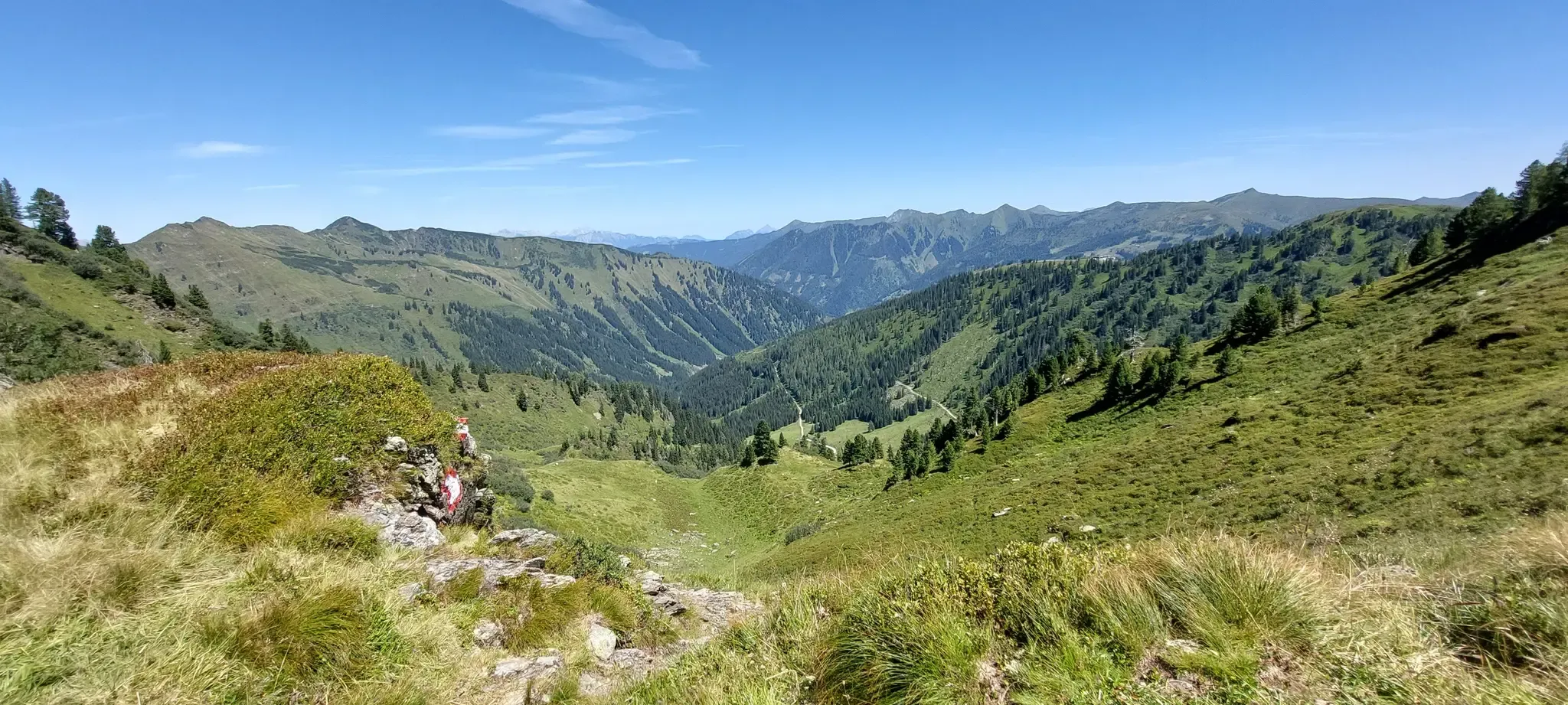
Central Alps Trail Eastern Section – Discover Austria
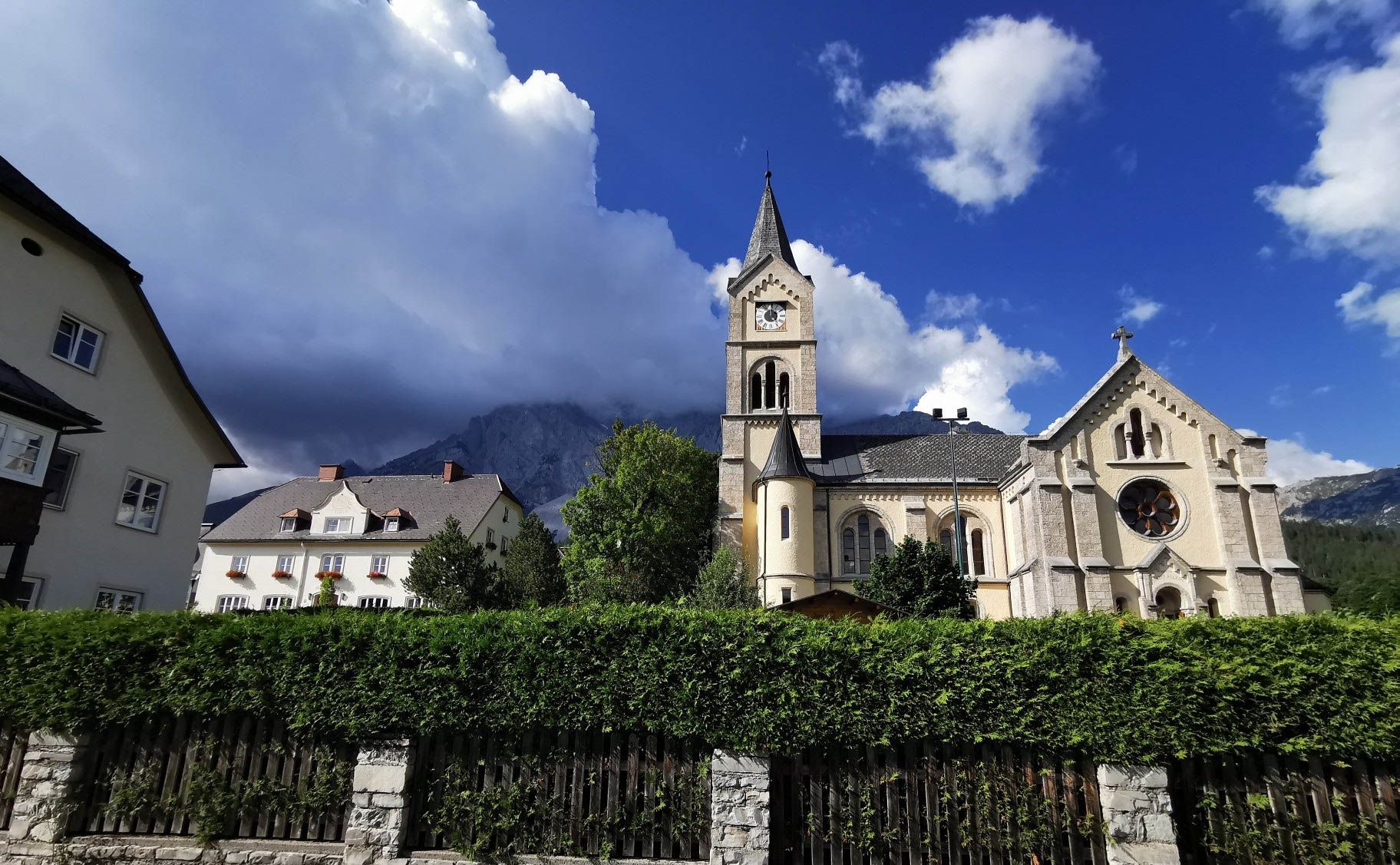
Way of the Book – Hike in the footsteps of the Bible smugglers in Austria
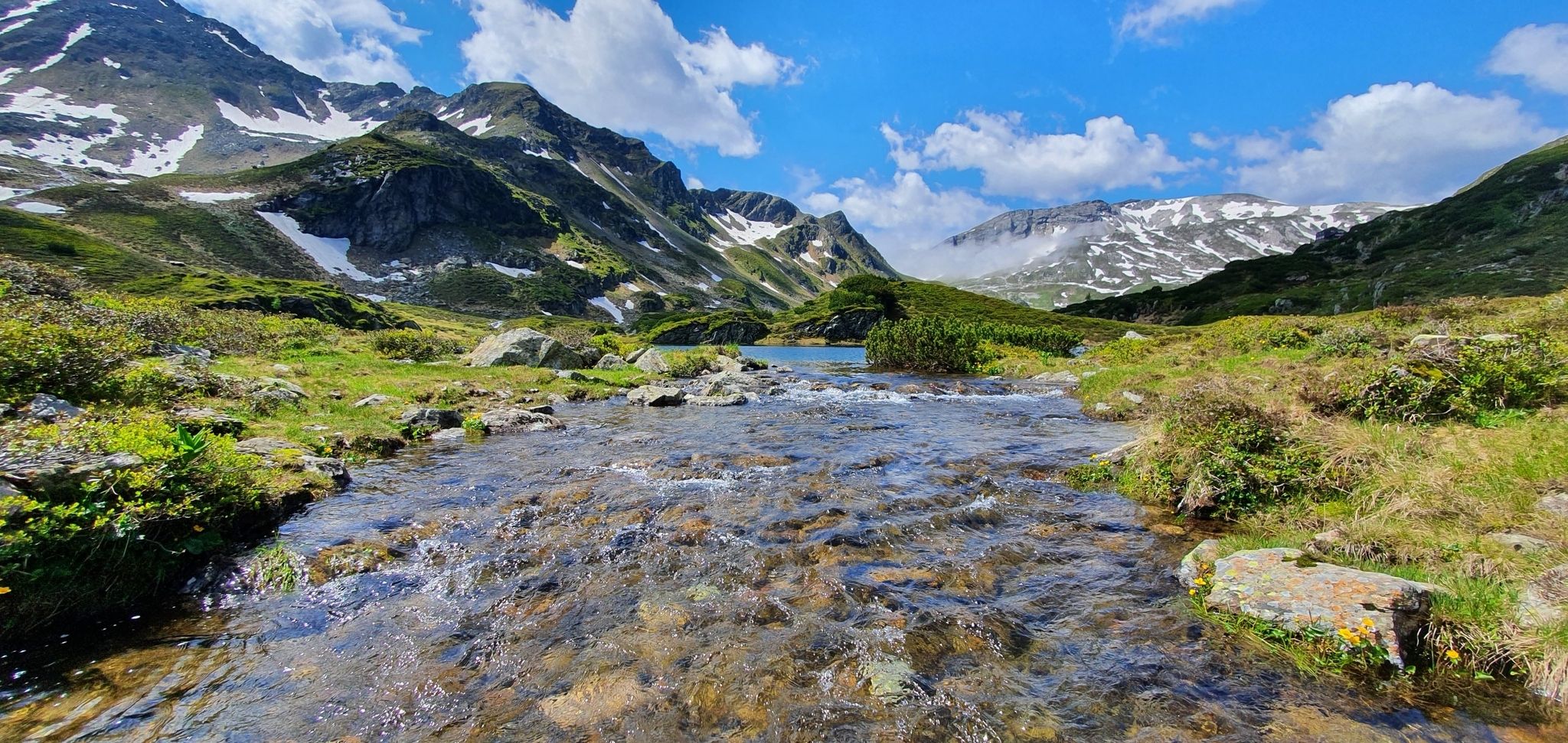
Schladminger Tauern High Altitude Trail – 7 days of great hiking in Austria
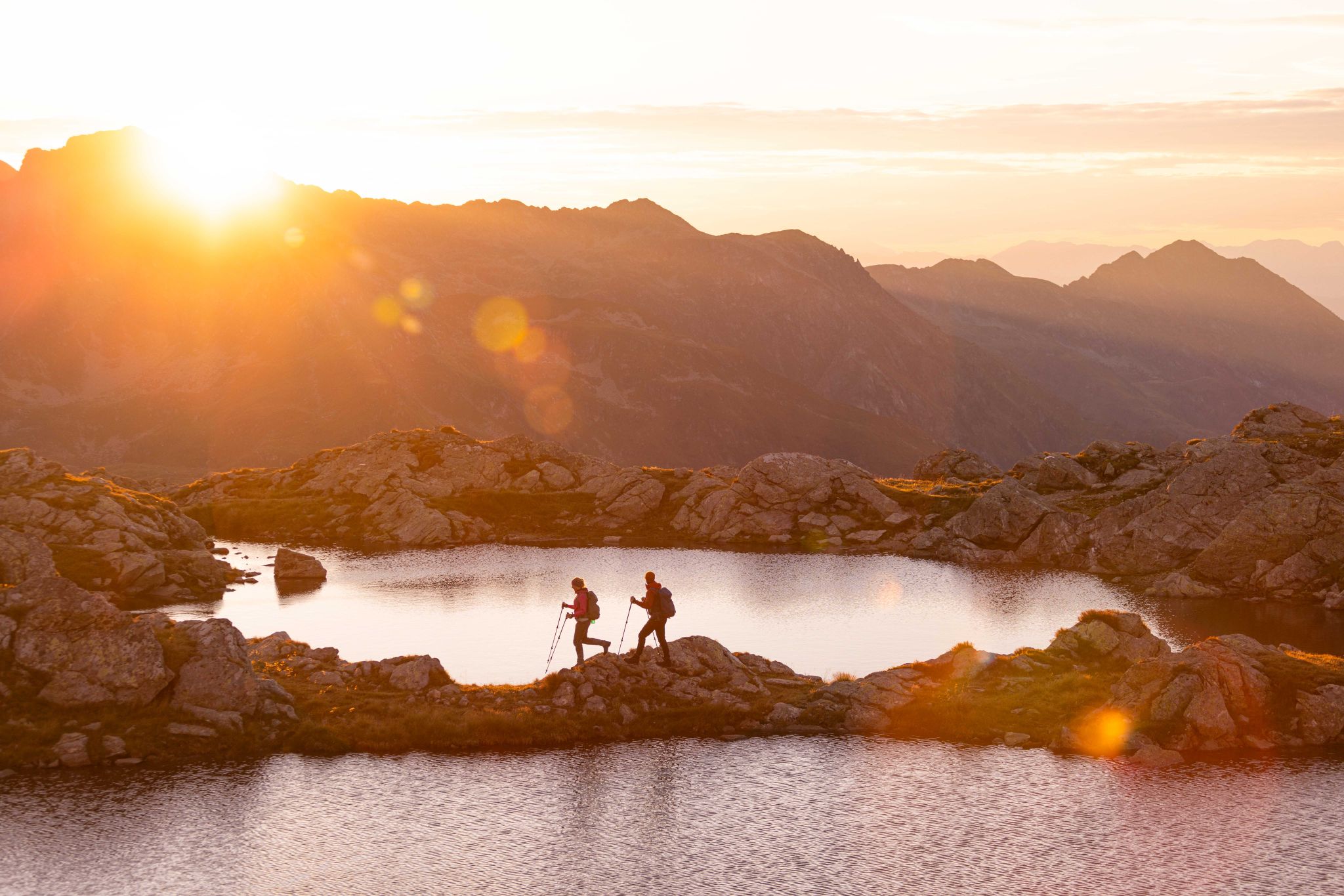
Huts, lakes, streams and panoramas on the Schladminger Tauern High Trail
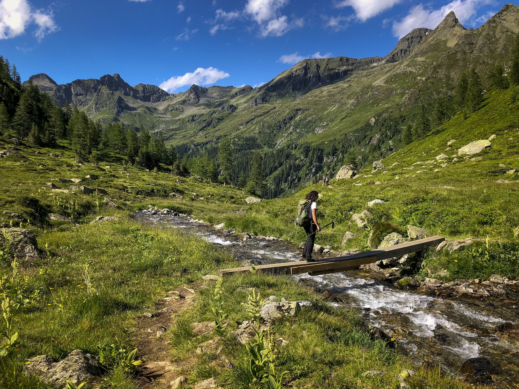
Discover Styria in Austria – Hiking the 'From Glacier to Wine' southern route
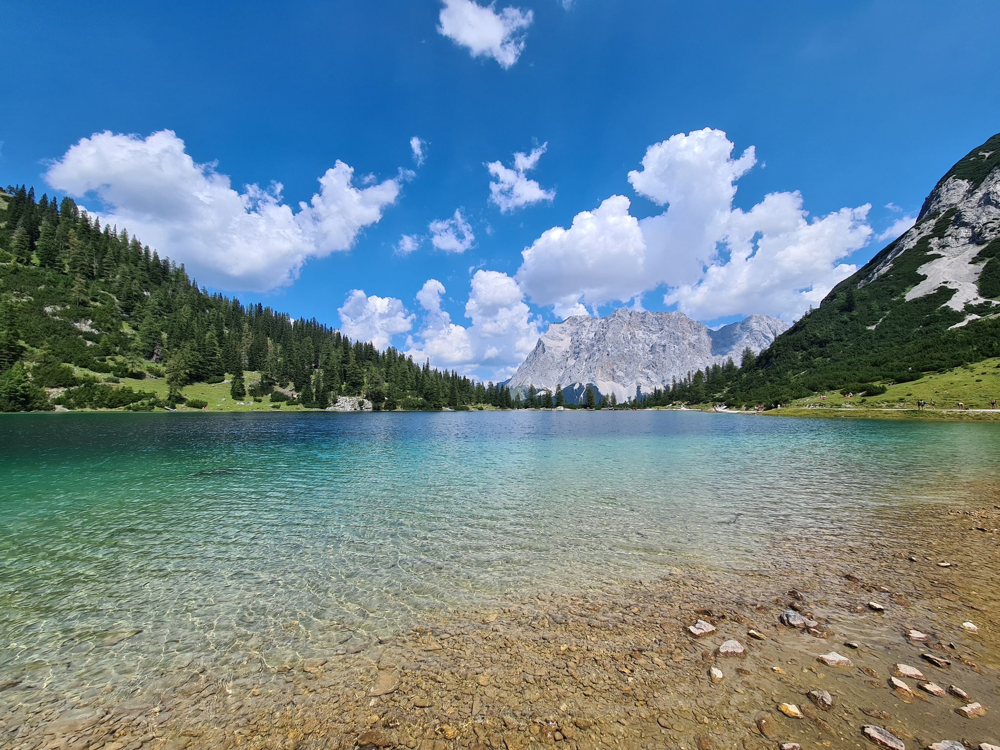
The most wonderful Alpine lakes

Hiking around Natural Park Klafferkessel

Mountain Hikes around Natural Park Klafferkessel

Cycling around Natural Park Klafferkessel

Running Trails around Natural Park Klafferkessel
Other adventures around Natural Park Klafferkessel


Tips from the Community

Mariensäule, Schillerplatz, Murau In the middle of Schillerplatz stands today the baroque votive group against the plague. In a pyramid-like rising composition, the front facing the church. The Mariensäule stands on a high pedestal on a hexagonal square bordered by a low, wrought-iron grille. On a round column stands the statue of St. Mary Immaculata. In the corners stand the six plague saints. The Mariensäule was not changed during the renovation work on Schillerplatz. However, the plague saints were re-erected and the wrought-iron grille was renovated. Text / Source: Murau, Raffaltplatz 10, 8850 Murau https://www.murau.gv.at/mariensaule.html
12
0


A beautifully nostalgic narrow-gauge railway that chugs along from Mauterndorf to St. Andrä.
1
0

Stoderzinken with a visit to the Kicherl is a must in Gröbming
0
0

Guided tour shows many well-furnished rooms
0
0

There are several places to buy coffee and there is also a sports shop in the town centre if you need any equipment
0
0

Located directly in front of the castle gate… Information on the sign on the wall
11
0
Frequently Asked Questions
What kind of terrain can I expect on road cycling routes around Natural Park Klafferkessel?
The region offers a diverse topography for road cycling. You'll find everything from relatively flat valley rides, such as sections along the Enns Cycle Path, to challenging mountain climbs and scenic high roads. Routes often feature well-maintained roads and impressive natural beauty, with options like the side roads through the Obertal and Untertal valleys providing panoramic views with minimal car traffic.
Are there challenging road cycling routes available for experienced cyclists?
Yes, the area around Natural Park Klafferkessel provides several challenging routes. For instance, the Obertauern Resort Village – Mariensäule Murau loop from Schladminger Tauern is a difficult 117.5-mile (189.1 km) trail traversing high alpine terrain with significant elevation gain. Another demanding option is the Thomatal – Madling Gorge loop from Göriach Parkplatz Hüttendorf, a 72.7-mile (116.9 km) path that includes substantial elevation through valleys and gorges.
Are there easier road cycling options suitable for beginners or those seeking a more relaxed ride?
Yes, there are moderate options available. The Gröbming – Riverside path along the Enns loop from Hopfgartenwasserfall is a 22.6-mile (36.3 km) trail that follows riverside paths, offering a more gentle experience. Another moderate route is the Quiet side road in the Ennstal – Steep Forest Trail loop from Hopfgartenwasserfall, which covers 25.5 miles (40.9 km).
What scenic viewpoints or natural features can I expect to see while road cycling?
While the high-alpine Klafferkessel itself is primarily for hiking, the surrounding Schladming-Dachstein region offers stunning views from its road cycling routes. You can expect panoramic roads with breathtaking views of the surrounding mountain scenery, such as those found along the Planai Panorama Road or through the Obertal and Untertal valleys. The area is framed by impressive mountains like Greifenberg, Hochgolling, and Waldhorn, providing dramatic backdrops.
Are there any notable landmarks or attractions near the road cycling routes?
Yes, while cycling in the broader region, you'll be close to several natural attractions. The area is known for its numerous mountain lakes and tarns, though these are typically accessed by hiking. You might also encounter views of majestic peaks like the Greifenberg Summit. The region's natural beauty, characterized by alpine landscapes, is a constant companion on these routes.
What is the best time of year for road cycling around Natural Park Klafferkessel?
The best season for road cycling in the Schladming-Dachstein region, which surrounds Natural Park Klafferkessel, is generally from late spring through early autumn. During these months, the weather is most favorable, and roads are clear of snow and ice, offering optimal conditions for enjoying the diverse routes and panoramic views.
Is there parking available for road cyclists near the routes?
Yes, the Schladming-Dachstein region, known for its cycling-friendly infrastructure, typically offers accessible starting points with parking. Many classic loops are easily accessible from towns like Schladming, Ramsau, or Haus im Ennstal, where you can usually find parking facilities to begin your ride.
Can I access road cycling routes around Natural Park Klafferkessel using public transport?
The region generally boasts good accessibility. While specific public transport options directly to every trailhead might vary, major towns like Schladming serve as hubs and are well-connected. From these points, you can often access various cycling routes, and some local transport services may accommodate bicycles, making it possible to reach starting points without a car.
Are there family-friendly road cycling routes in the area?
While the core Klafferkessel area is high-alpine hiking terrain, the broader Schladming-Dachstein region offers options suitable for families. Look for routes described as 'moderate' or those that follow valley paths, such as sections of the Enns Cycle Path, which provide flatter terrain and less traffic, ideal for a family outing.
What do other road cyclists enjoy the most about road cycling in Natural Park Klafferkessel?
The road cycling routes around Natural Park Klafferkessel are highly rated by the komoot community, with an average score of 4.5 stars from 4 reviews. Cyclists often praise the varied topography, the impressive natural beauty, and the well-maintained roads that offer stunning alpine views. The network provides options for different ability levels, from moderate valley routes to challenging mountain ascents.
Are there loop road cycling routes available?
Yes, many of the road cycling routes in the region are designed as loops, allowing you to start and end at the same point. Examples include the Branch Church Stein an der Enns – Großsölk Reservoir loop from Hopfgartenwasserfall, a moderate 26.6-mile (42.8 km) route, and the longer, more challenging loops like the Obertauern Resort Village – Mariensäule Murau loop from Schladminger Tauern.
What are the typical distances and elevation gains for road cycling routes here?
The routes vary significantly to cater to different fitness levels. You can find shorter, moderate rides like the Gröbming – Riverside path along the Enns loop from Hopfgartenwasserfall, which is 22.6 miles (36.3 km) with around 624 meters of elevation gain. For more challenging endeavors, routes like the Obertauern Resort Village – Mariensäule Murau loop from Schladminger Tauern span 117.5 miles (189.1 km) with nearly 3,000 meters of climbing.
Most popular routes around Natural Park Klafferkessel
Most popular attractions around Natural Park Klafferkessel

Get inspired with the komoot mobile app


Explore more
Browse the best Road cycling routes in other regions.
