The best mountain hikes around District de Delémont
5.0
(16)
85
hikers
12
hikes
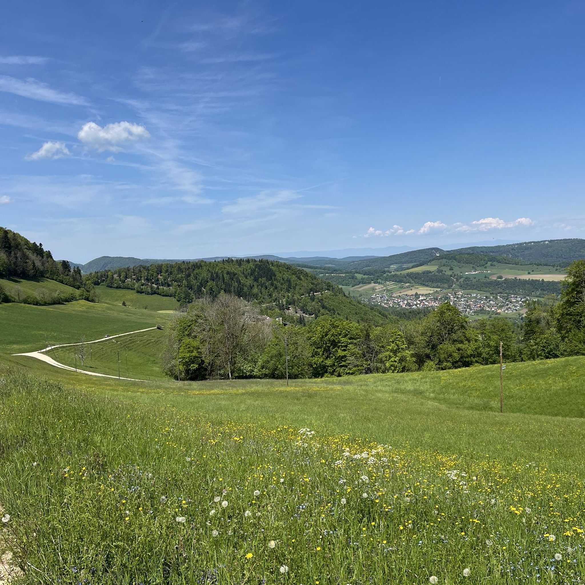
Mountaineering routes around District de Delémont traverse a landscape characterized by the Jura Mountains, featuring forested slopes, deep valleys, and prominent limestone formations. The region offers a variety of ascents, from challenging climbs to high viewpoints, providing diverse experiences for mountaineers. These routes often lead to panoramic vistas and through varied terrain, including open ridges and dense woodlands.
Best mountaineering routes around District de Delémont
- The most popular mountaineering route is Gitziflue Viewpoint – Hasenmatt Summit Cross loop from Oberdorf…
Last updated: July 8, 2026
5.0
(3)
23
hikers
7.79km
03:44
650m
650m
Hard mountaineering route. Good fitness required. Sure-footedness, sturdy shoes and alpine experience required.
5.0
(2)
9
hikers
4.62km
03:03
540m
540m
Hard mountaineering route. Good fitness required. Sure-footedness, sturdy shoes and alpine experience required.

Sign up for free
7
hikers
7.52km
03:49
630m
620m
Hard mountaineering route. Good fitness required. Sure-footedness, sturdy shoes and alpine experience required.
5.0
(1)
8
hikers
7.60km
02:40
350m
350m
Moderate mountaineering route. Good fitness required. Mostly accessible paths. Sure-footedness required.
5.0
(2)
4
hikers
14.1km
06:04
900m
900m
Hard mountaineering route. Very good fitness required. Sure-footedness, sturdy shoes and alpine experience required.
6
hikers
10.3km
03:44
580m
580m
Moderate mountaineering route. Good fitness required. Mostly accessible paths. Sure-footedness required.
5.0
(1)
6
hikers
6.17km
03:55
710m
710m
Hard mountaineering route. Good fitness required. Sure-footedness, sturdy shoes and alpine experience required.
6
hikers
7.27km
03:25
620m
610m
Hard mountaineering route. Good fitness required. Sure-footedness, sturdy shoes and alpine experience required.
5.0
(3)
5
hikers
15.6km
05:34
810m
810m
Hard mountaineering route. Very good fitness required. Mostly accessible paths. Sure-footedness required.
2
hikers
4.93km
02:06
340m
340m
Moderate mountaineering route. Good fitness required. Mostly accessible paths. Sure-footedness required.
Get access to more routes and recommendations from other explorers.
Sign up for free
Already have an account?
Our route recommendations are based on thousands of hikes, rides, and runs completed by other people on komoot.
Start today with a free account
Your next adventure awaits.
Login or Signup
Popular around District de Delémont

Mountain Hikes around Mervelier
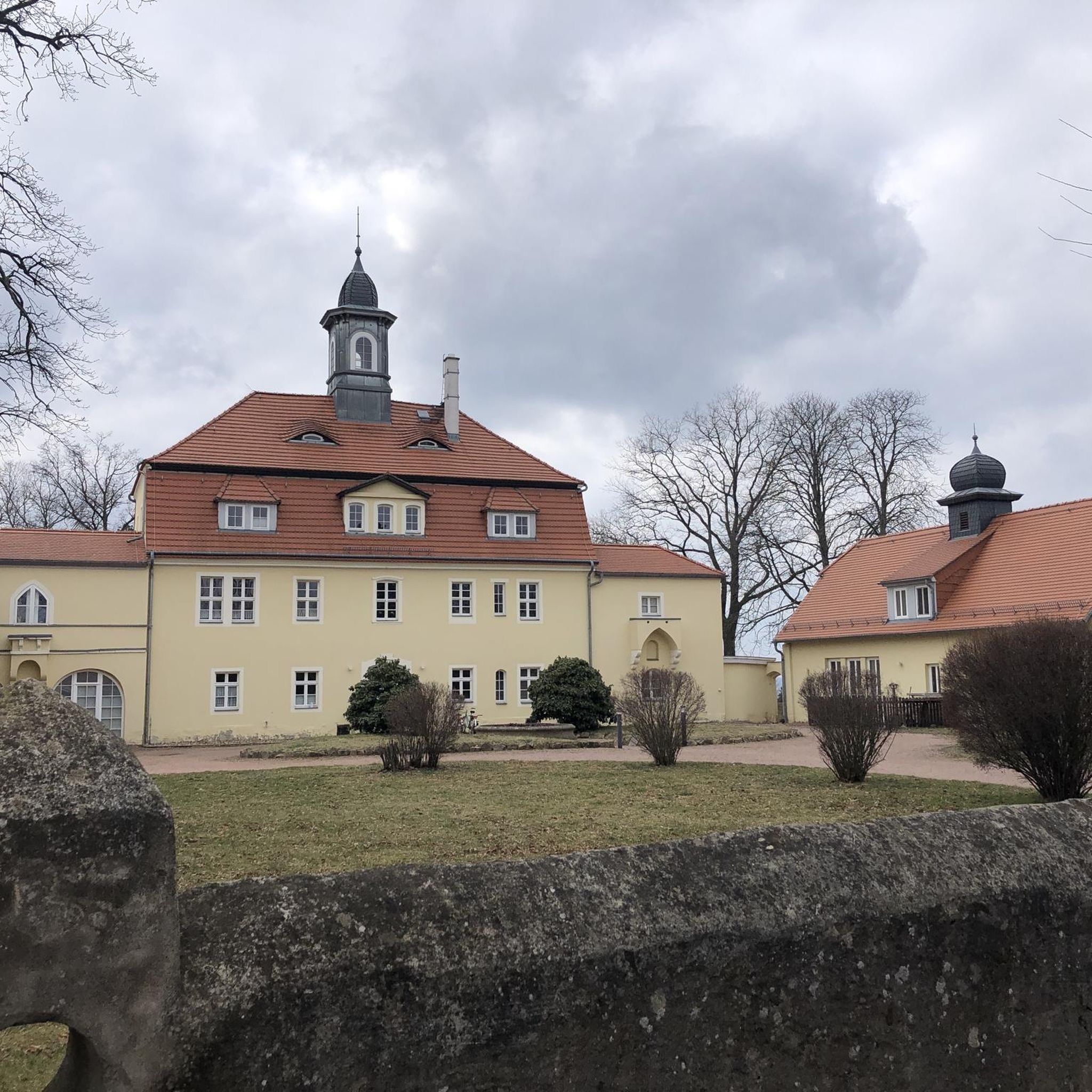
Mountain Hikes around Corban
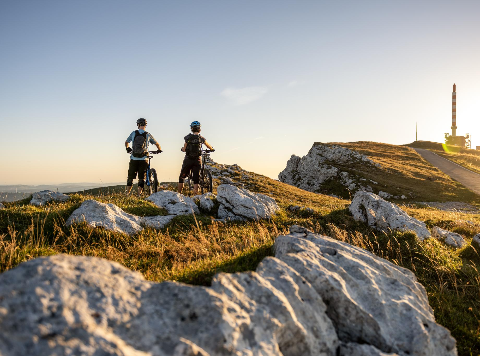
MTB rides in the Jura & Three-Lakes region
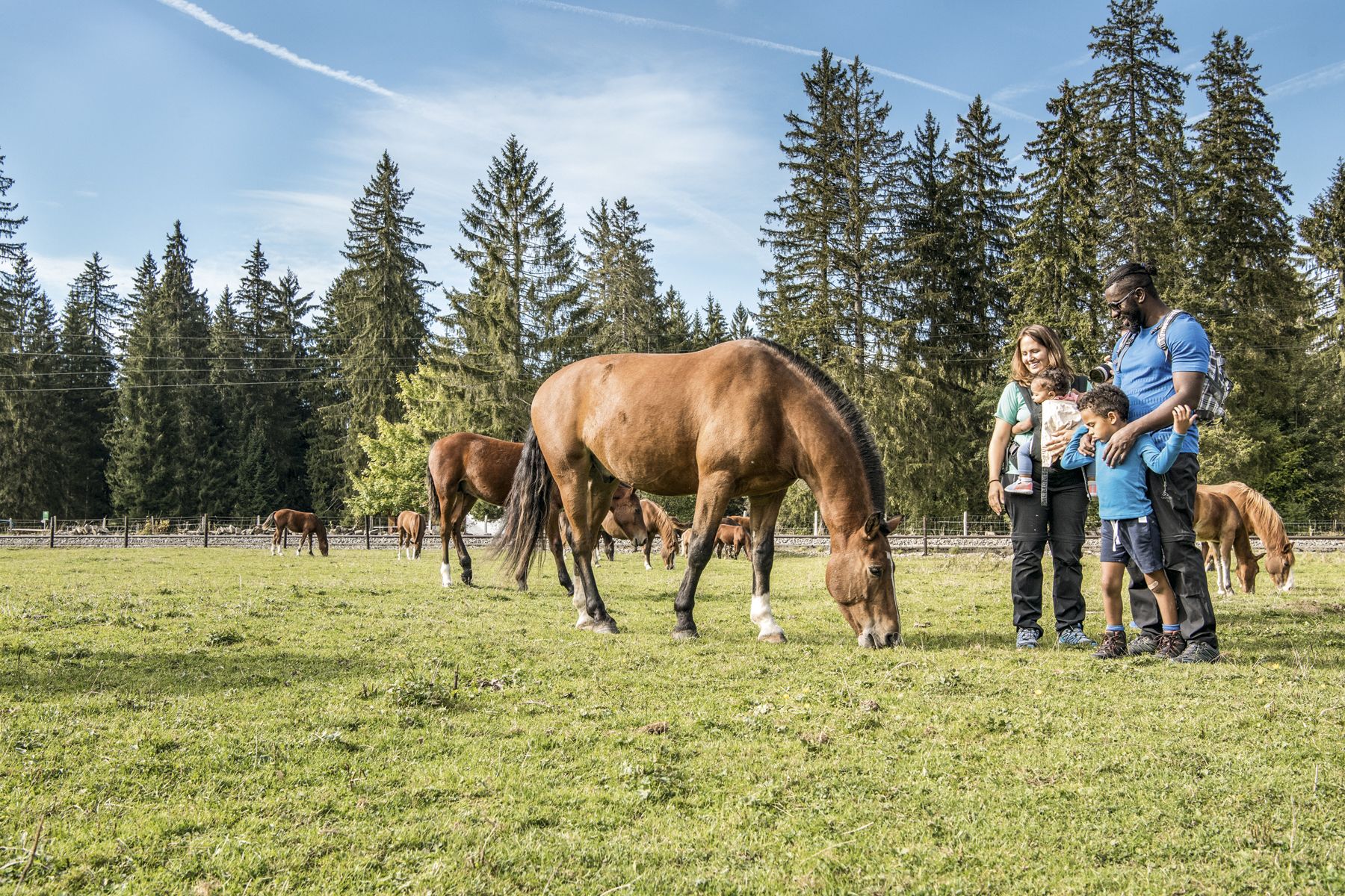
Jura — Visit the farms of organic pioneers
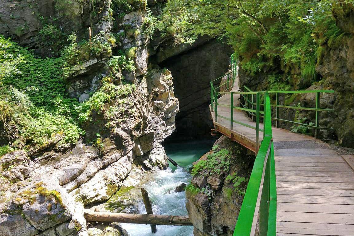
Wild gorges in southern Germany and northern Switzerland
Schottergenuss und Gaumenschmaus – Grand Gourmet Rides durch die Schweiz
Hiking around District de Delémont
Running Trails around District de Delémont
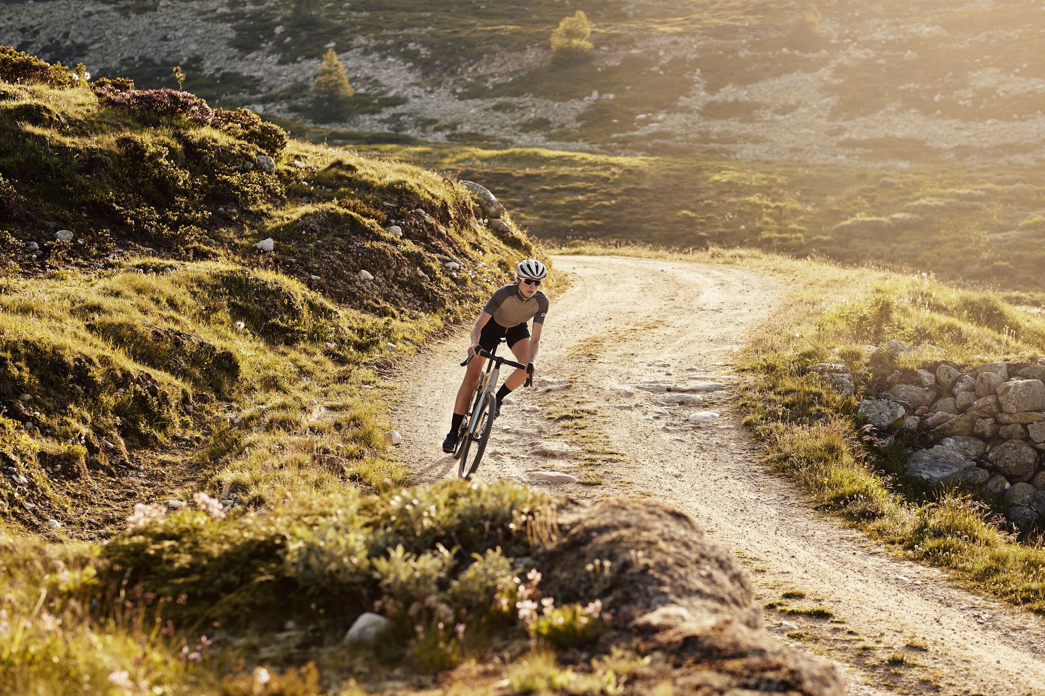
Road Cycling Routes around District de Delémont
MTB Trails around District de Delémont
Other adventures around District de Delémont


Tips from the Community

pretty here, very pretty
1
0

The Herrenloch is a cave with two entrances - a kind of tunnel - below the Balmfluechöpfli. It can be reached by trails both from the west ridge of the Balmfluechöpfli and as the end of the Hornpfad. The exit on the east side is reserved for the very experienced only; there has also been a fatal fall here. From the western entrance of the Herrenloch, you can also climb directly to the summit of the Balmfluechöpfli via trails.
0
0

wonderful and very beautiful area here
2
0
wonderful and very beautiful area here
3
0
pretty here, very pretty
0
2
pretty here, mega super pretty
1
0
Frequently Asked Questions
What types of mountaineering routes can I find in District de Delémont?
District de Delémont, nestled in the Jura Mountains, offers a diverse range of mountaineering experiences. You'll find routes traversing forested slopes, deep valleys, and prominent limestone formations. The region features both moderate and challenging ascents, often leading to panoramic vistas and through varied terrain including open ridges and dense woodlands. There are 4 moderate and 9 difficult routes available.
Are there any family-friendly mountaineering options in District de Delémont?
While many routes are challenging, some moderate options might be suitable for families with older children or those accustomed to longer hikes. For example, the Plateforme – Cabane des Gorges loop from Moutier is a moderate 6.4-mile (10.3 km) trail that leads through forested gorges and offers manageable climbs, typically completed in under 4 hours.
What are some of the most scenic viewpoints along the mountaineering routes?
Many routes in District de Delémont are renowned for their scenic vistas. The Gitziflue Viewpoint – Hasenmatt Summit Cross loop from Oberdorf SO is a popular choice, leading to prominent summit crosses and expansive views. Another route, Herrenloch Cave – View from Balmfluehchöpfli loop from Rüttenen, also offers stunning perspectives from Balmfluehchöpfli.
Are there circular mountaineering routes available in the District de Delémont?
Yes, many of the mountaineering routes in District de Delémont are designed as loops, allowing you to start and end at the same point. Examples include the Cholberg loop from Welschenrohr, which explores forested hillsides, and the Röti Summit (1,395 m) loop from Balm b. Günsberg, offering a moderate ascent to a significant summit.
What is the typical duration and elevation gain for mountaineering routes here?
The duration and elevation gain vary significantly depending on the route's difficulty. Moderate routes, like the Plateforme – Cabane des Gorges loop from Moutier, can take around 3 hours 43 minutes with about 583 meters of elevation gain. More challenging routes, such as the Gitziflue Viewpoint – Hasenmatt Summit Cross loop from Oberdorf SO, can take over 6 hours and involve nearly 900 meters of ascent.
What can I expect regarding difficulty levels for mountaineering in this region?
Mountaineering in District de Delémont caters to various skill levels, though the majority of routes are considered challenging. Out of 13 available routes, 4 are rated as moderate and 9 are difficult. The difficult routes often feature significant elevation changes and rugged terrain, while moderate options provide a less strenuous but still rewarding experience.
Are there any interesting natural landmarks or attractions near the mountaineering trails?
Absolutely! The region is rich in natural beauty. You can explore the Sorne Gorge Road (Gorges du Pichoux) or the Gabiare Valley near Envelier. For a historical touch, the Löwenburg Estate (Pleigne) is also nearby. These attractions offer additional points of interest to combine with your mountaineering adventure.
What do other mountaineers say about the routes in District de Delémont?
The mountaineering routes in District de Delémont are highly regarded by the komoot community, boasting an average rating of 5.0 stars from over 10 reviews. Nearly 100 mountaineers have used komoot to explore the varied terrain, often praising the challenging ascents and the rewarding panoramic views from the Jura Mountains.
Can I find any huts or shelters along the mountaineering routes?
Yes, there are several huts and shelters in the District de Delémont that can provide a resting point or refuge. Notable options include the Grill Shelter in Solothurn Forest and the Naturfreundehaus Retemberg-Vicques. These can be useful for longer tours or as a place to enjoy a break.
What is the best time of year for mountaineering in District de Delémont?
The best time for mountaineering in the Jura Mountains around District de Delémont is typically from late spring to early autumn (May to October). During these months, the weather is generally more stable, and trails are clear of snow, offering optimal conditions for exploring the forested slopes and limestone formations. Always check local weather forecasts before heading out.
Are there any routes that offer a combination of natural features like caves and viewpoints?
Yes, some routes provide a fascinating mix of natural features. The View from Balmfluehchöpfli – Herrenloch Cave loop from Balm b. Günsberg is a great example, allowing you to explore the Herrenloch Cave and enjoy the expansive views from Balmfluehchöpfli on a single challenging tour.
How many mountaineering routes are available in District de Delémont?
There are 13 distinct mountaineering routes available in District de Delémont, offering a range of experiences from moderate to difficult. This selection provides ample opportunities to explore the diverse landscapes of the Jura Mountains.
Most popular routes around District de Delémont
Most popular attractions around District de Delémont

Get inspired with the komoot mobile app


Didn’t find what you were looking for?
Check out more Mountain Hikes & Routes throughout District de Delémont below and find the perfect route in your destination.
Explore more
Browse the best Mountain Hikes & Routes in other regions.
