The best mountain hikes around Islisberg
5.0
(3)
18
hikers
3
hikes
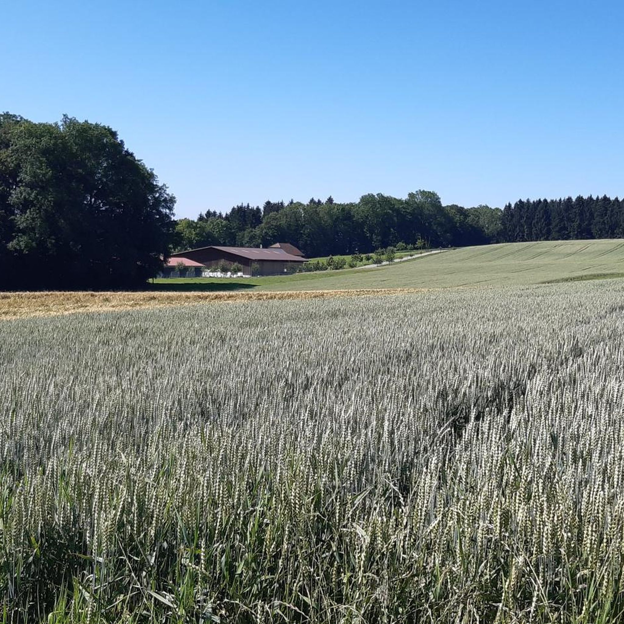
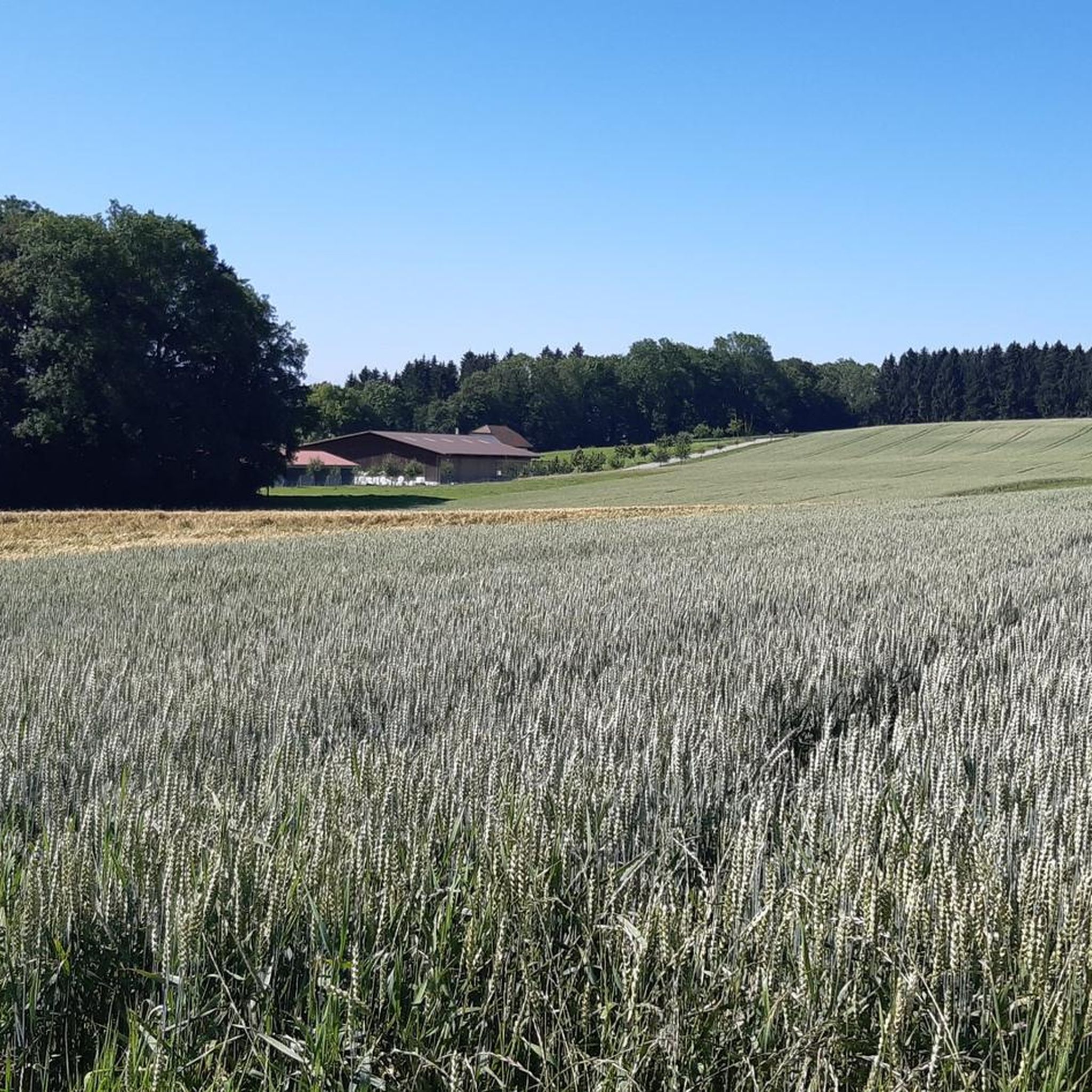
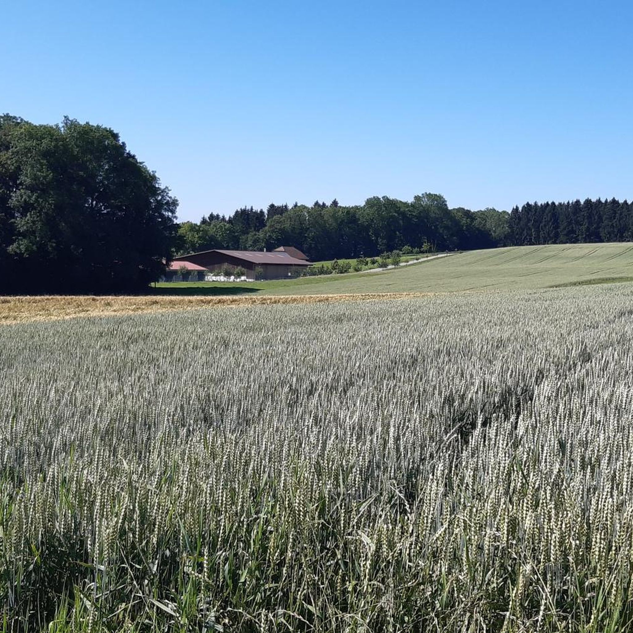
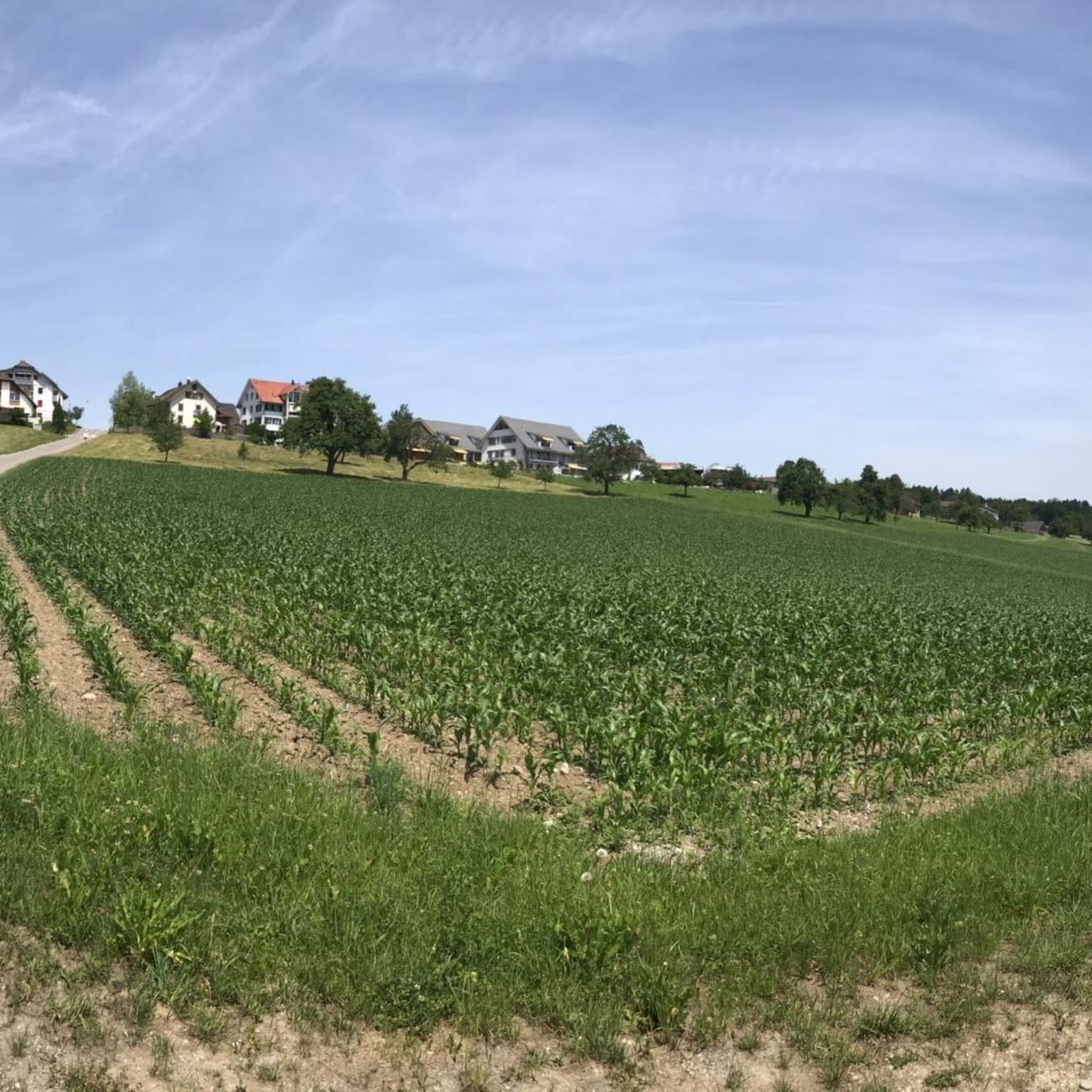
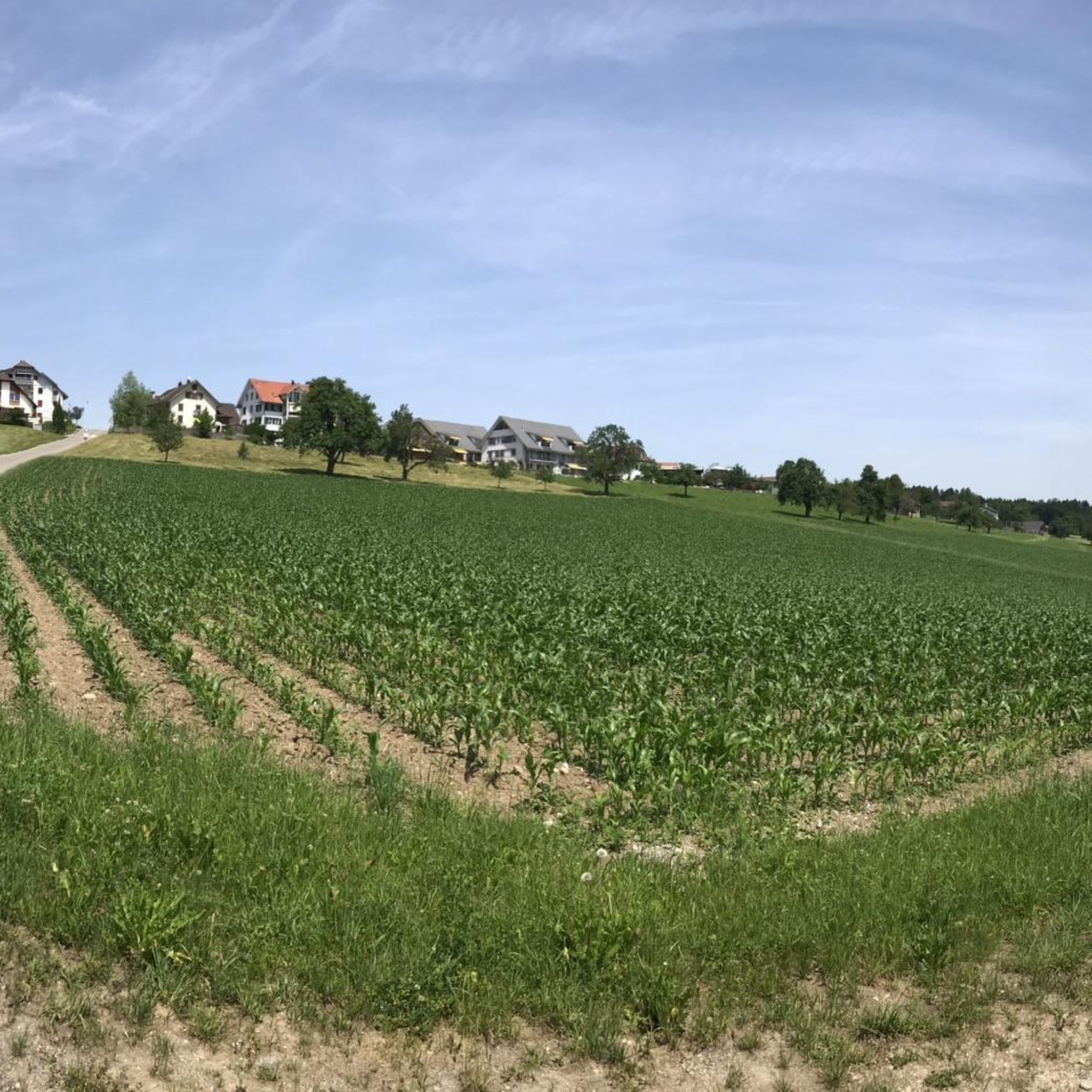
Mountaineering routes around Islisberg are situated in the canton of Aargau, Switzerland, on an elevated hill that forms an extension of the Holzbirrliberg ridge. The terrain features steep slopes to the south, west, and northwest, with a high plateau extending northeast into the Canton of Zurich. This varied topography, characterized by significant agricultural land and forests, provides diverse routes for active pursuits. The highest point within Islisberg reaches 680 meters above sea level, offering panoramic views of the surrounding landscape.
…Last updated: October 11, 2026
5.0
(2)
13
hikers
6.79km
02:18
370m
370m
Moderate mountaineering route. Good fitness required. Easily-accessible paths. Suitable for all skill levels.
5.0
(1)
4
hikers
Moderate mountaineering route. Good fitness required. Mostly accessible paths. Sure-footedness required.

1
hikers
6.29km
02:12
340m
340m
Moderate mountaineering route. Good fitness required. Mostly accessible paths. Sure-footedness required.
Our route recommendations are based on thousands of hikes, rides, and runs completed by other people on komoot.
Start today with a free account
Your next adventure awaits.

Tips from the Community

There are two pre-installed BBQ spots with grill fire pits, some tables and a fresh water fountain next to the playground.
0
0

Looks more like a cemetery. But there used to be tables and benches.
0
0

Alas, snack bar seems to be no longer open. Also, I think this is not a cemetery; what appear to be headstones are the supports for tables no longer in use.
1
0

You can jog or hike under the transmission tower. A beautiful section of forest.
0
0

Spring water for the city has been bubbling here since 1493.
0
0

Very exciting landscape in every season. Great views to enjoy.
1
0

There is no better way to train for an uphill run near Zurich. The principle is simple. Climb a little over 300 meters of positive elevation gain on fairly steep slopes to reach this wooded ridge. The trees sometimes offer a beautiful view of the lake and the city.
0
0
Frequently Asked Questions
How challenging are the mountaineering routes around Islisberg?
The mountaineering routes featured in this guide are all rated as moderate. They involve significant elevation gains, making them a good workout, but are generally accessible to those with a reasonable level of fitness. Islisberg itself is known for its challenging climbs, with an average grade of 8.4% over 1.6 kilometers, offering a rewarding experience.
Are there any circular mountaineering routes in the Islisberg area?
Yes, all the routes highlighted in this guide are circular. For example, you can explore the Uetliberg Viewing Terrace – Uetliberg loop from Zürich Triemli, which offers scenic viewpoints, or the Uetliberg Transmission Tower – Uetliberg Summit Viewpoint loop from Wiedikon, providing ascents through varied terrain.
What kind of views can I expect on the mountaineering routes near Islisberg?
Islisberg's elevated position, reaching 680 meters above sea level, provides panoramic views of the surrounding landscape. The routes often traverse elevated ridges and dense forests, offering glimpses of the varied topography, including agricultural land and the distant Canton of Zurich. The 'Himmel' (Heaven) is a local name for the hill, hinting at its scenic character.
Are the mountaineering routes around Islisberg suitable for families?
The routes in this guide are rated as moderate, which means they require a certain level of fitness and endurance. While they don't feature technical mountaineering, the significant elevation gains might be challenging for very young children. Families with older, active children who are accustomed to longer hikes could find them enjoyable. Always consider the specific fitness levels of your family members.
Can I bring my dog on the mountaineering trails in Islisberg?
Generally, dogs are welcome on hiking trails in Switzerland, including those around Islisberg. However, it's always advisable to keep your dog on a leash, especially in agricultural areas, near livestock, or in nature reserves. Ensure your dog is fit enough for moderate climbs and bring plenty of water for both of you.
What is the typical duration for mountaineering routes in this region?
The routes in this guide typically take between 2 hours 12 minutes and 2 hours 20 minutes to complete. For instance, the Ruine Manegg loop from Adliswil is often completed in about 2 hours 12 minutes, covering 3.9 miles (6.4 km).
Are there any places to eat or stay near the mountaineering trails?
While Islisberg itself is a small municipality, the wider region offers options. You can find various huts and facilities nearby, such as the Uetliberg Tea Hut or the Hohenstein Tea Hut (Uetliberg), which are great for refreshments. For overnight stays, Camping Bleiche on the Reuss is an option.
What is the best time of year for mountaineering around Islisberg?
The varied terrain of Islisberg, with its forests and agricultural lands, is enjoyable across multiple seasons. Spring and autumn offer pleasant temperatures and beautiful foliage. Summer is also suitable, though it can be warmer. While specific winter mountaineering routes are not detailed, the area's elevation means conditions can change, so always check local weather forecasts before heading out, especially outside of warmer months.
How can I reach the starting points of these routes using public transport?
The routes mentioned, such as those starting from Zürich Triemli or Wiedikon, are generally well-connected by Switzerland's efficient public transport system. You can typically reach these starting points via train or bus services, making it convenient to access the trails without a car. Always check local transport schedules for the most up-to-date information.
What do other mountaineers say about the routes in Islisberg?
The mountaineering routes around Islisberg are highly rated by the komoot community, with an average score of 5.0 stars from 3 reviews. More than 19 mountaineers have used komoot to explore Islisberg's varied terrain, often praising the rewarding ascents and scenic viewpoints.
Are there any historical sites or points of interest along the trails?
Yes, some routes offer glimpses into the region's history. For example, the Ruine Manegg loop from Adliswil leads through forested areas and past historical ruins, adding a cultural dimension to your outdoor adventure.
Where can I find parking near the mountaineering trailheads?
For routes starting from urban areas like Zürich Triemli or Wiedikon, public parking facilities are usually available, though they might be paid. It's recommended to check specific parking options for your chosen trailhead in advance, especially during peak seasons, or consider using public transport as an alternative.
Most popular routes around Islisberg
Most popular attractions around Islisberg

Get inspired with the komoot mobile app


Explore more
Browse the best Mountain Hikes & Routes in other regions.
