The best mountain hikes around Lampenberg
5.0
(1)
8
hikers
4
hikes
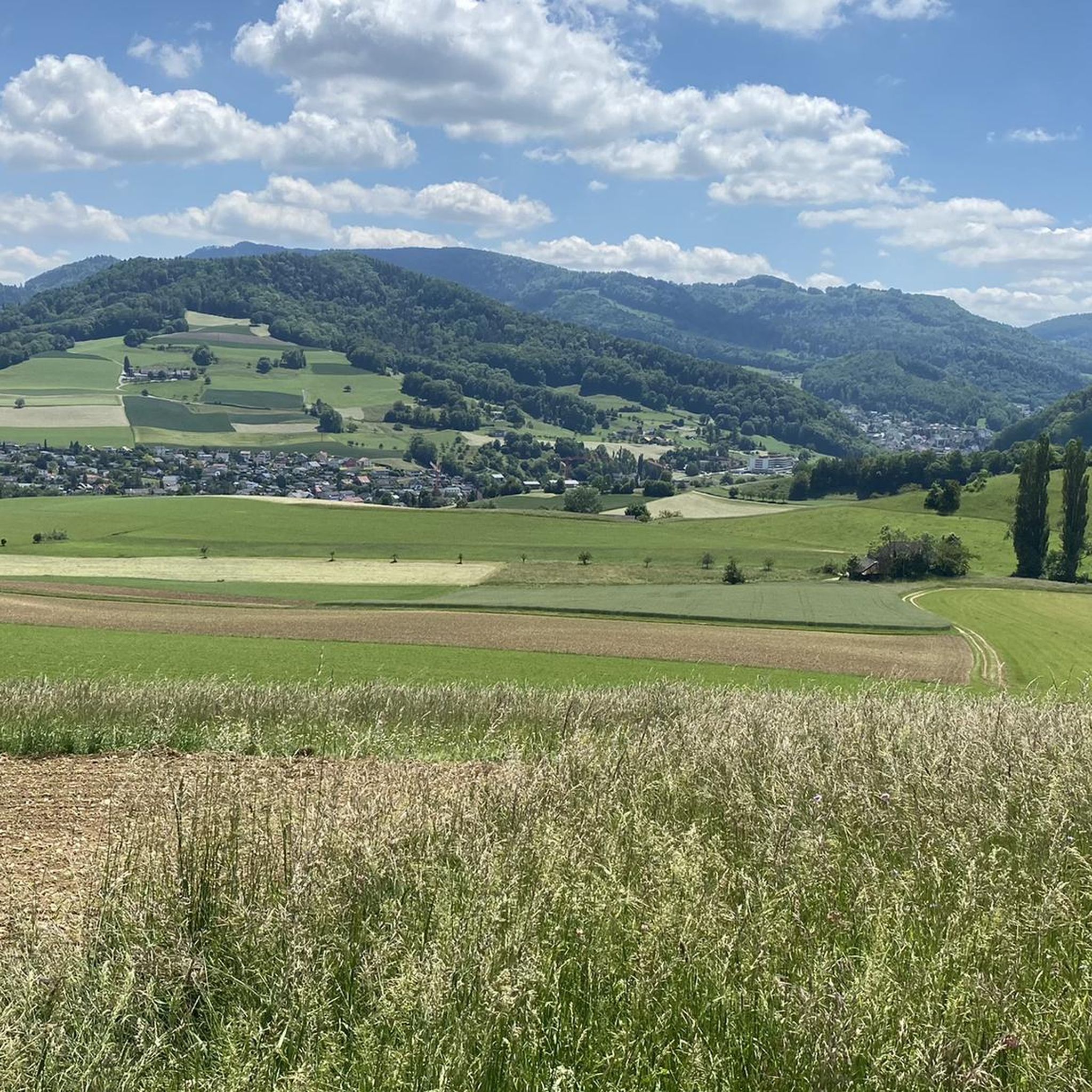
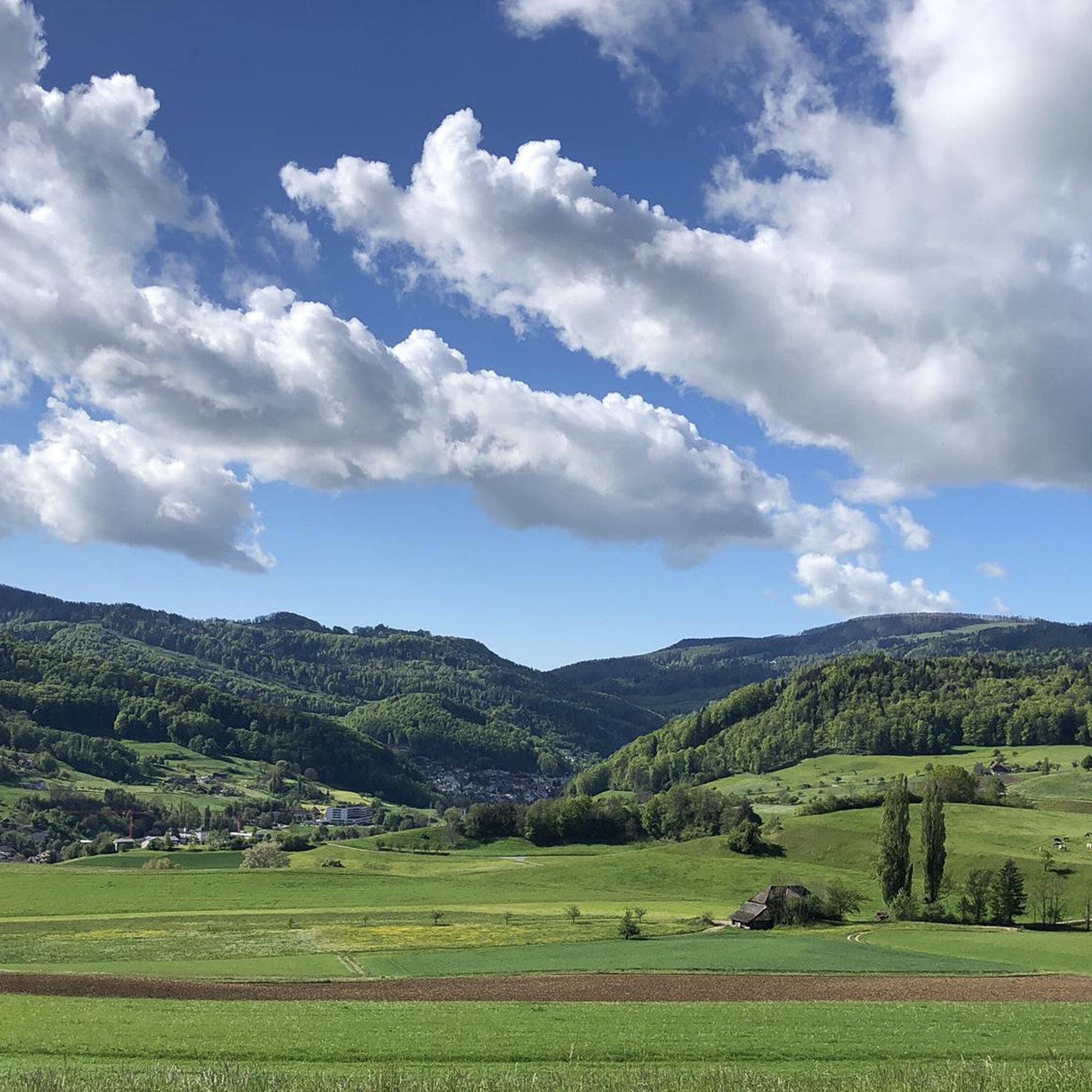
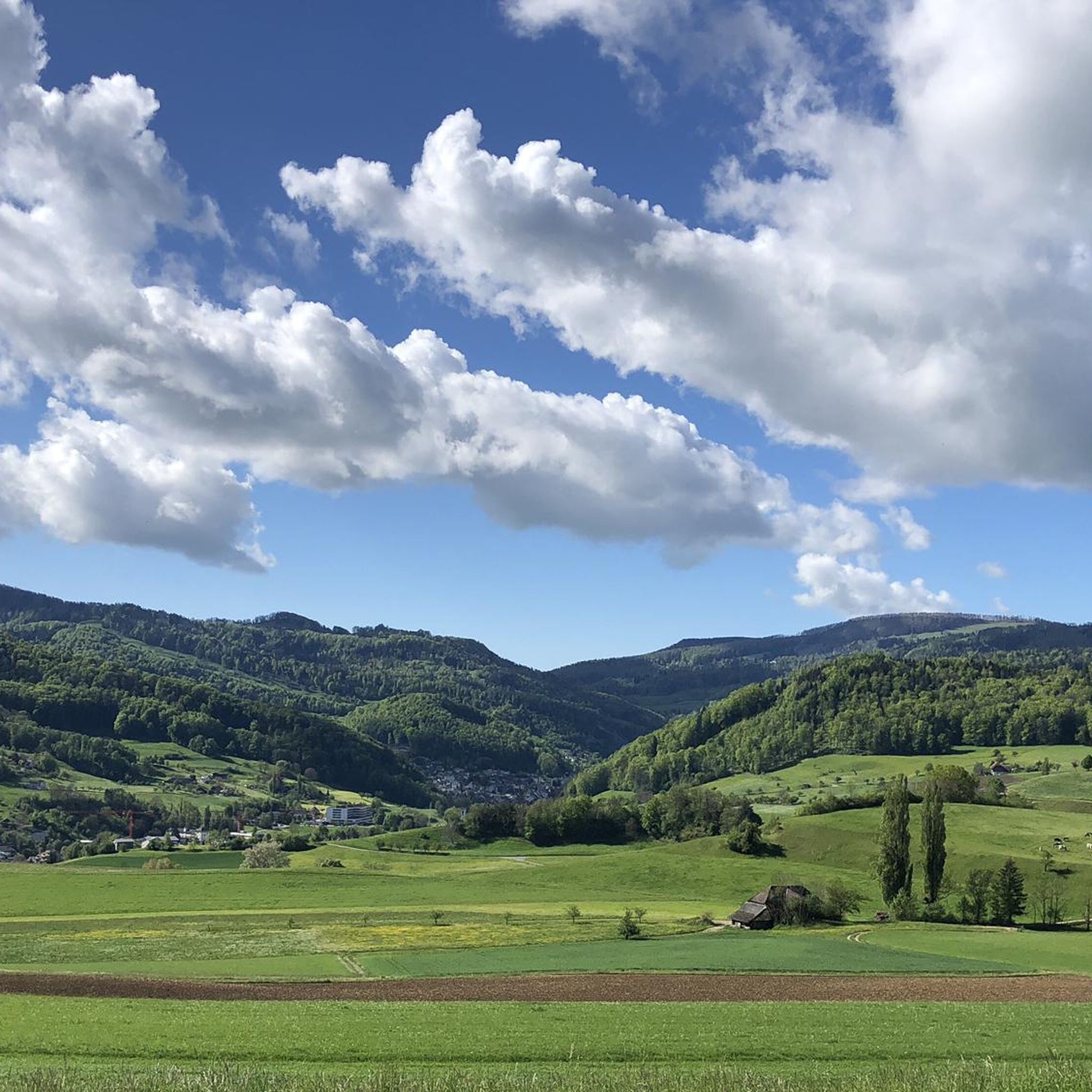
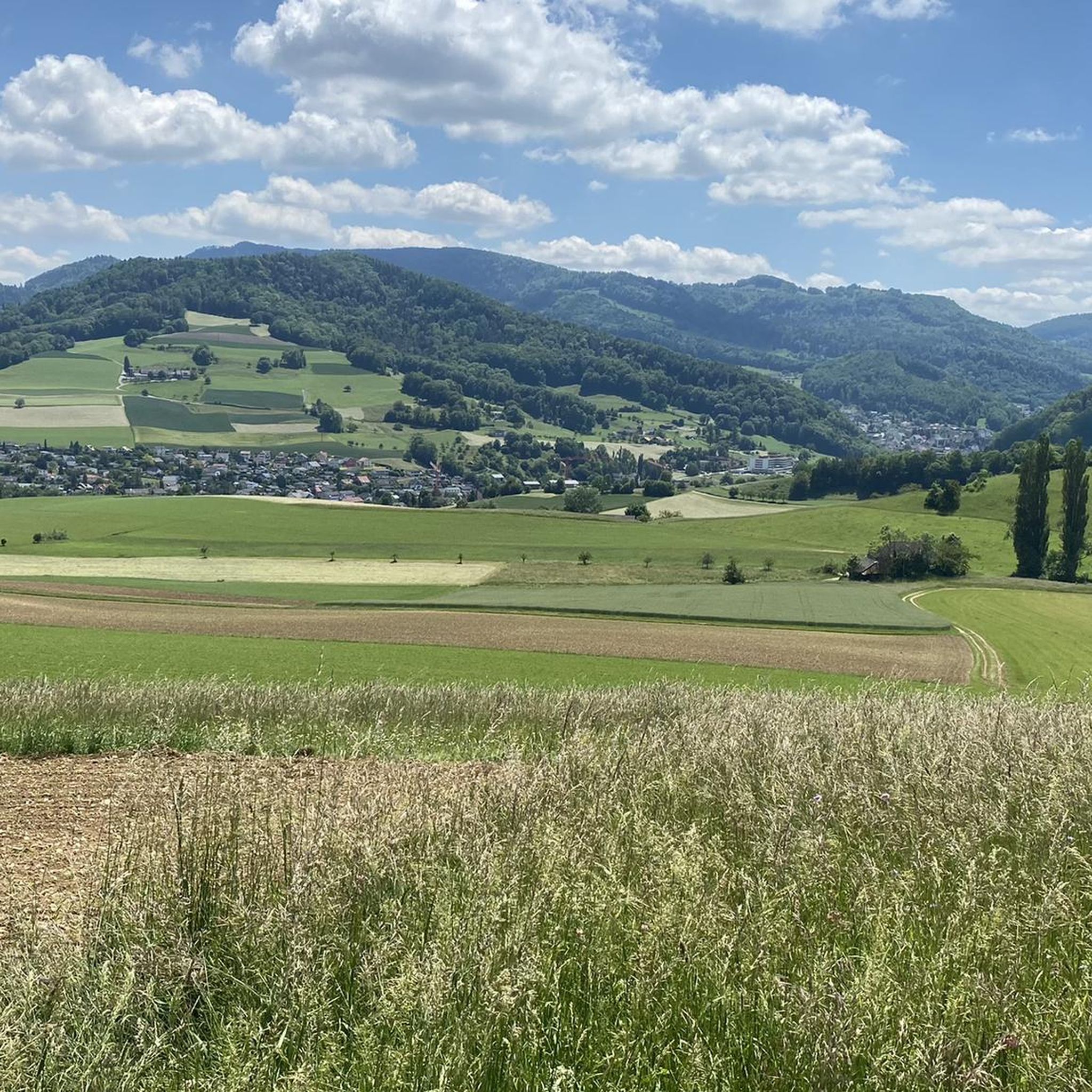
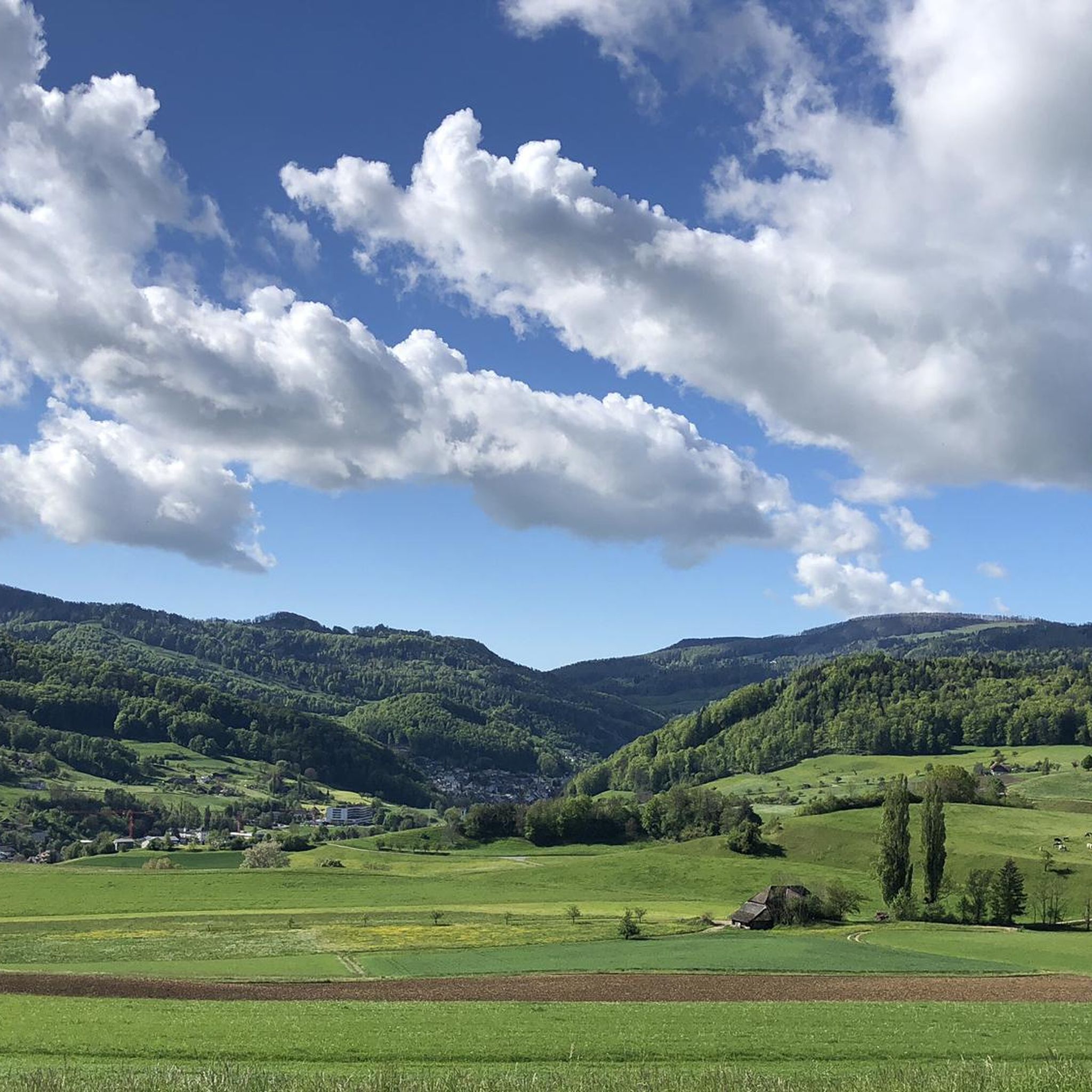
Mountaineering routes around Lampenberg traverse the varied terrain of the Basel-Landschaft region, characterized by rolling hills, forested slopes, and open viewpoints. The area features a network of trails that ascend to prominent local summits and ridges, offering diverse challenges for mountaineers. Elevations typically involve hundreds of meters of ascent, leading to panoramic vistas over the surrounding landscape.
Best mountaineering routes around Lampenberg
- The most popular mountaineering route is Chilchzimmersattel – Belchenflue Summit Viewpoint loop from Langenbruck, a 7.0 miles…
Last updated: June 24, 2026
5.0
(1)
3
hikers
11.2km
03:29
410m
410m
Moderate mountaineering route. Good fitness required. Mostly accessible paths. Sure-footedness required.
2
hikers
4.88km
01:40
200m
210m
Moderate mountaineering route. Great for any fitness level. Mostly accessible paths. Sure-footedness required.

Sign up for free
2
hikers
14.5km
04:48
610m
600m
Moderate mountaineering route. Good fitness required. Mostly accessible paths. Sure-footedness required.
1
hikers
12.3km
03:47
410m
410m
Moderate mountaineering route. Good fitness required. Mostly accessible paths. Sure-footedness required.
Our route recommendations are based on thousands of hikes, rides, and runs completed by other people on komoot.
Start today with a free account
Your next adventure awaits.
Login or Signup
Tips from the Community

Beautiful mountain lodge as a good starting point for a hike across the Belchenflue.
2
0

A challenging pass in the Tafeljura, the climb is made up of a small road with a maximum gradient of 15% and little traffic. The scenery is very scenic, with magnificent panoramas along the way.
1
1

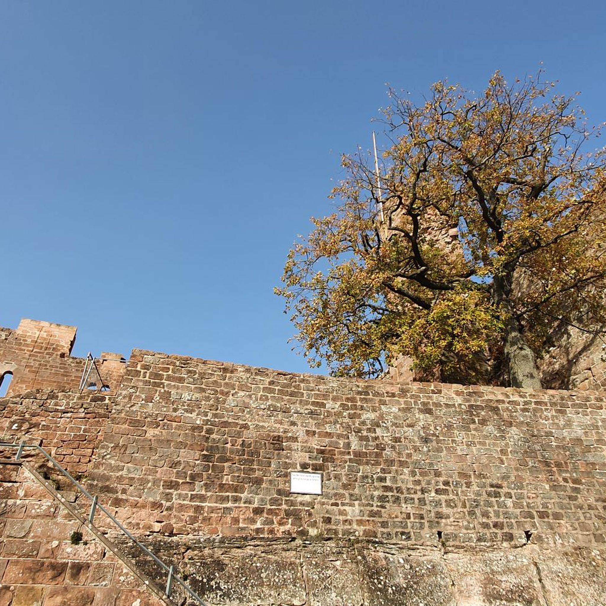
A brief look back and relics of history. Some information boards along the way describe the events of that time and provide good background information.
1
0

Chamois can often be seen at this spot.
0
0
Nice hike down to the Rhine - a good 30 km.
1
0

Interesting information trail about the First World War
0
0
Impressive viewing point. Former tank turret - part of the First World War memorial trail
0
0

This viewpoint is located on the highest point of the Swiss Belchen on the border between Baselland and Solothurn and is best reached on foot. There are no public transport stations nearby. A car park is available 5 minutes on foot below the Chilchzimmersattel. From there it is a 15-minute hike to the Belchenfluh. Further information The famous "Belchenflue" viewpoint was used as an observation post in World War I and was blasted into its current form. The Belchensüdstrasse between Ifenthal and the Belchenflue commemorates the troops involved in the construction with numerous coats of arms, which immortalized themselves in the rock after the work was completed.
14
2
Frequently Asked Questions
What kind of terrain can I expect on mountaineering routes around Lampenberg?
The Lampenberg region, part of Basel-Landschaft, features varied terrain characterized by rolling hills, forested slopes, and open viewpoints. You'll find a network of trails that ascend to prominent local summits and ridges, offering diverse challenges and panoramic vistas.
Are there any easy or beginner-friendly mountaineering routes in Lampenberg?
While all routes listed are moderate to difficult, the Schneelochberg – Schellenberg loop from Belchenflue is the shortest option at 4.7 km with 205 meters of ascent, making it a more accessible choice for those newer to mountaineering or looking for a quicker outing.
What are some options for more challenging mountaineering in the area?
For a more demanding experience, consider the Belchenflue Summit Viewpoint – Chilchzimmersattel loop from Langenbruck. This route is classified as difficult, covering 15.4 km with over 600 meters of elevation gain, and typically takes around 5 hours to complete.
Are there circular mountaineering routes available near Lampenberg?
Yes, all the featured mountaineering routes around Lampenberg are circular. For example, you can explore the Chilchzimmersattel – Belchenflue Summit Viewpoint loop from Langenbruck, which offers a moderate 11.2 km journey through the landscape.
What kind of natural attractions or landmarks can I see along the mountaineering routes?
The region offers several natural highlights. You might encounter picturesque waterfalls like Tüfels Gorge or Rünenberger Giessen. There are also serene lakes such as Wildenstein Castle Pond and Basler Weiher nearby, which can be explored as separate excursions.
What is the best season for mountaineering around Lampenberg?
The varied terrain of Lampenberg makes it suitable for mountaineering during spring, summer, and autumn. These seasons generally offer more stable weather conditions and clear trails. Winter mountaineering is possible but may require specialized gear due to snow and ice, especially on higher sections.
Are there any routes that pass by historical sites?
Yes, the World War I Defensive Wall – Chilchzimmersattel loop from Langenbruck offers a chance to explore a historical defensive structure while enjoying a moderate 12.3 km mountaineering experience.
What do other mountaineers say about the routes in Lampenberg?
The mountaineering routes in Lampenberg are highly rated by the komoot community, with an average score of 5.0 stars. Users often praise the varied terrain, the rewarding summit viewpoints, and the well-maintained trails that cater to different ability levels.
Is it possible to reach the mountaineering trails using public transport?
Lampenberg and its surrounding villages are generally accessible by public transport, primarily buses connecting to larger train stations in the Basel-Landschaft canton. It's advisable to check local bus schedules to plan your approach to specific trailheads.
Are there places to stop for refreshments or food near the trails?
While specific cafes directly on the trails are limited, the villages surrounding Lampenberg, such as Langenbruck, offer various dining options and cafes where you can refuel before or after your mountaineering adventure. It's always a good idea to carry sufficient water and snacks.
What is the typical elevation gain on mountaineering routes in this region?
Mountaineering routes around Lampenberg typically involve ascents of several hundred meters. For instance, routes range from approximately 200 meters of elevation gain on shorter paths like the Schneelochberg – Schellenberg loop to over 600 meters on more challenging tours such as the Belchenflue Summit Viewpoint – Chilchzimmersattel loop.
Most popular routes around Lampenberg
Most popular attractions around Lampenberg

Get inspired with the komoot mobile app


Explore more
Browse the best Mountain Hikes & Routes in other regions.
