The best mountain hikes around Boningen
5.0
(1)
10
hikers
5
hikes
Mountaineering routes around Boningen offer access to the varied terrain of the Bernese Oberland, characterized by steep mountain slopes and prominent peaks. The region features a mix of wooded areas and higher alpine environments, providing diverse challenges for mountaineers. Lake Brienz, on whose southern shore Boningen is situated, reflects the surrounding mountains, contributing to the scenic backdrop of these routes. The area is also a gateway to the wider Jungfrau Region, known for its extensive network of mountain trails.
Best…
Last updated: June 24, 2026
2
hikers
Moderate mountaineering route. Good fitness required. Mostly accessible paths. Sure-footedness required.
5.0
(1)
3
hikers
11.2km
03:29
410m
410m
Moderate mountaineering route. Good fitness required. Mostly accessible paths. Sure-footedness required.

Sign up for free
2
hikers
4.88km
01:40
200m
210m
Moderate mountaineering route. Great for any fitness level. Mostly accessible paths. Sure-footedness required.
2
hikers
14.5km
04:48
610m
600m
Moderate mountaineering route. Good fitness required. Mostly accessible paths. Sure-footedness required.
1
hikers
12.3km
03:47
410m
410m
Moderate mountaineering route. Good fitness required. Mostly accessible paths. Sure-footedness required.
Our route recommendations are based on thousands of hikes, rides, and runs completed by other people on komoot.
Start today with a free account
Your next adventure awaits.
Login or Signup
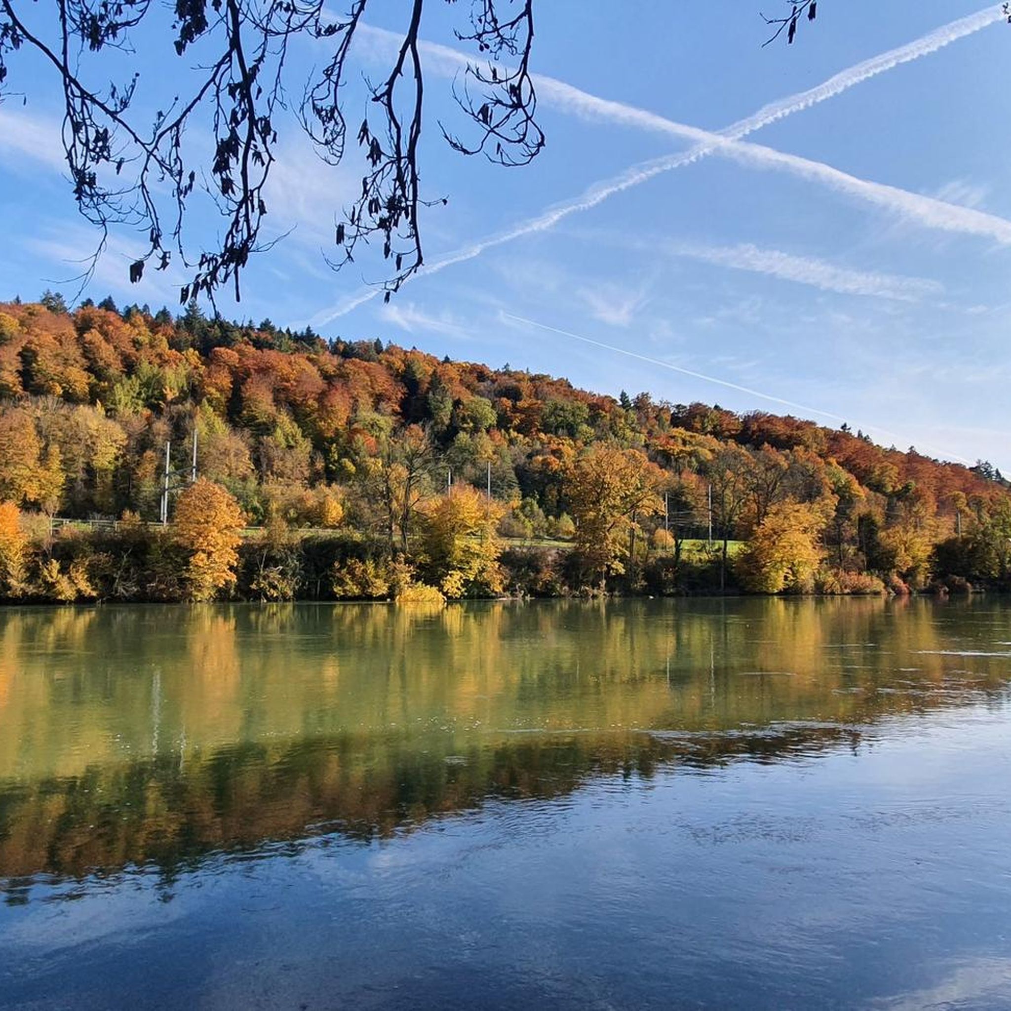
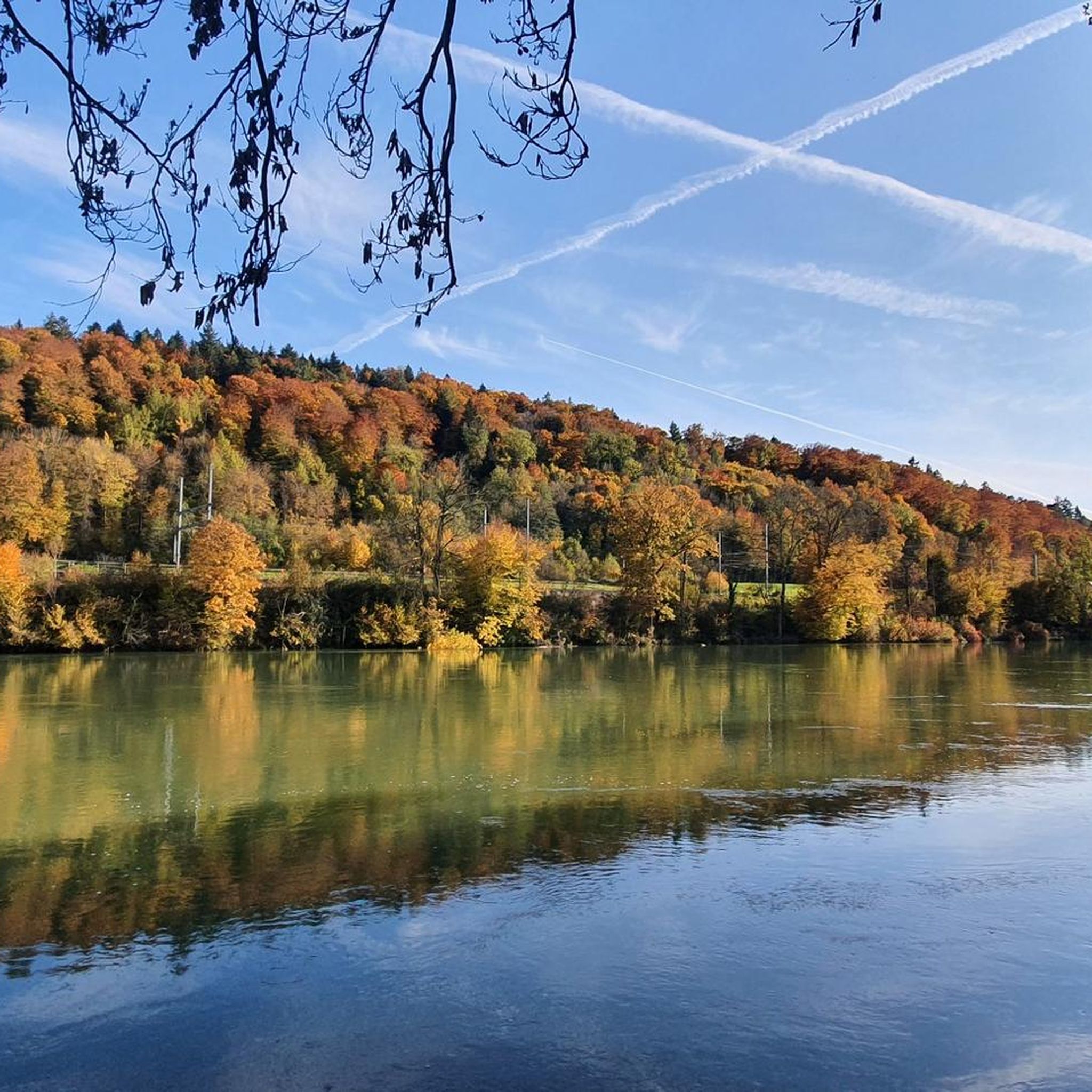
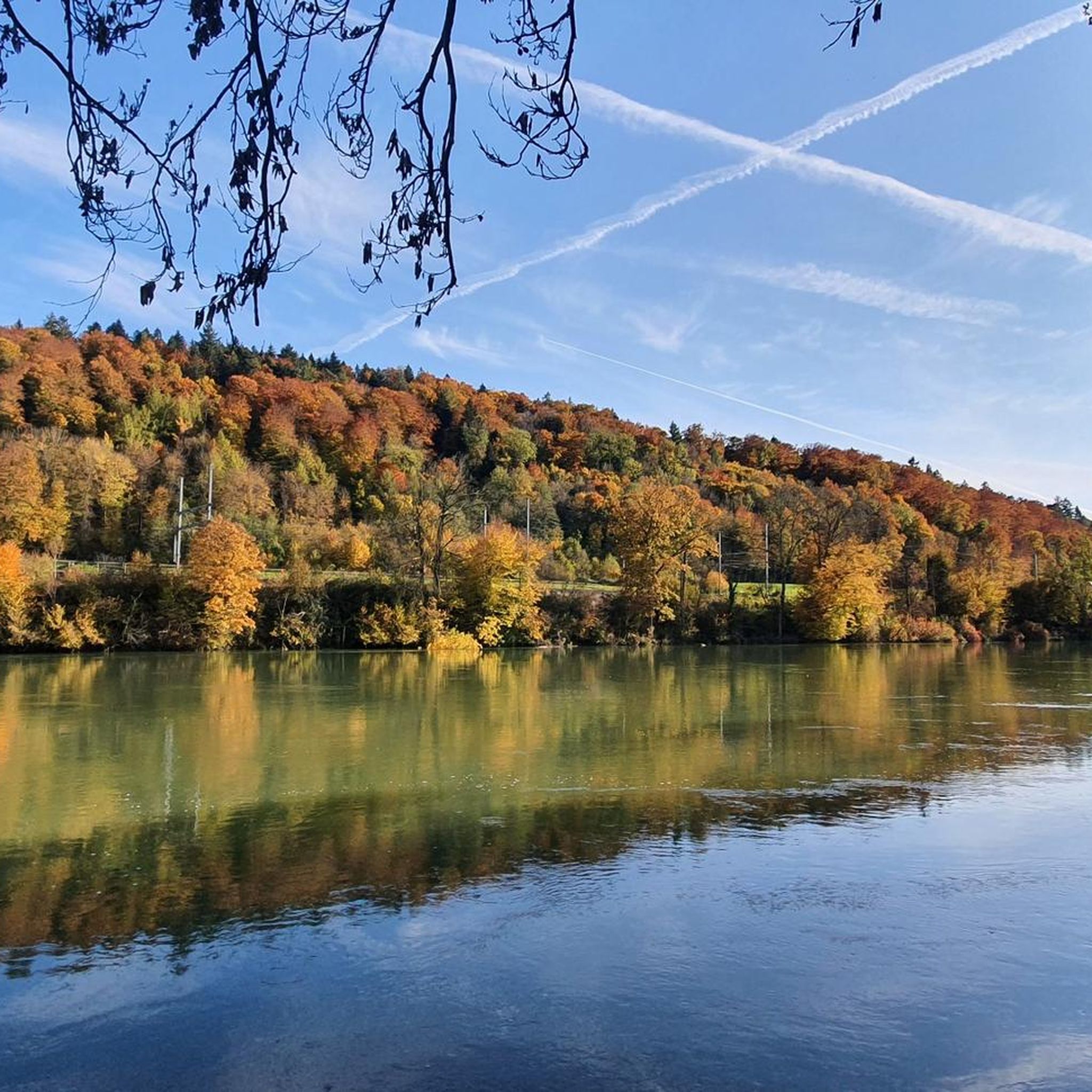
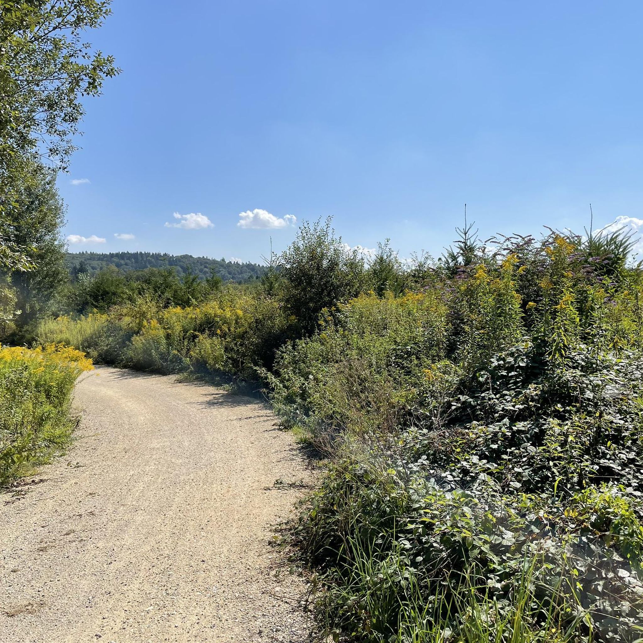

Tips from the Community

Beautiful mountain lodge as a good starting point for a hike across the Belchenflue.
2
0

Ideal resting place with fire pit: carry barbecue food in your backpack!
1
0

A challenging pass in the Tafeljura, the climb is made up of a small road with a maximum gradient of 15% and little traffic. The scenery is very scenic, with magnificent panoramas along the way.
1
1

A brief look back and relics of history. Some information boards along the way describe the events of that time and provide good background information.
1
0

Chamois can often be seen at this spot.
0
0
Nice hike down to the Rhine - a good 30 km.
1
0

Interesting information trail about the First World War
0
0
Impressive viewing point. Former tank turret - part of the First World War memorial trail
0
0
Frequently Asked Questions
How many mountaineering routes are available around Boningen?
There are 5 moderate mountaineering routes detailed in this guide, all offering unique experiences in the Bernese Oberland. These routes provide access to varied terrain, from wooded areas to higher alpine environments.
What is the typical difficulty level of mountaineering routes in Boningen?
All 5 routes featured in this guide are rated as moderate, making them suitable for mountaineers with some experience. They involve significant elevation gains and varied terrain.
Are there any circular mountaineering routes in Boningen?
Yes, several routes are circular. For example, you can explore the Roggenflue – Roggenschnarz loop from Holderbank, which is a 14.5 km route with over 520 meters of ascent. Another option is the Belchenflue – Lauchflue loop from Langenbruck, covering 14.5 km with over 600 meters of elevation gain.
What kind of landscapes can I expect on these mountaineering routes?
The routes around Boningen offer diverse landscapes, from steep mountain slopes and wooded areas to panoramic viewpoints. You'll experience the natural beauty of the Bernese Oberland, with Lake Brienz often reflecting the surrounding peaks.
Are there any notable viewpoints or summits along the routes?
Yes, the region is known for its stunning vistas. The Belchenflue Summit Viewpoint offers expansive panoramas, and the Lauchflue Summit provides beautiful views of the Ergolz Valley and the Black Forest. The Belchenflue – Lauchflue loop from Langenbruck will take you past both of these.
What are some interesting natural attractions to explore near the mountaineering trails?
Beyond the peaks, the area features several fascinating natural attractions. You can visit various caves like Chäsloch Cave or Sandloch Cave (Tüfelsschlucht — Devil's Gorge). The Tüfels Gorge itself offers a scenic path for early morning visitors.
What do other mountaineers say about the routes in Boningen?
The routes in Boningen are highly rated by the komoot community, with an average score of 5.0 stars. Mountaineers often praise the varied terrain and the stunning natural beauty of the Bernese Oberland.
Are there any routes that pass by a mountain restaurant or a place to eat?
Yes, the area includes options for refreshments. The Roggen Mountain Restaurant is a notable spot in the vicinity, offering a place to rest and refuel. Consider the Roggenflue – Roggenschnarz loop from Holderbank for a route that might be convenient to this area.
What is the longest mountaineering route in this guide?
The longest routes in this guide are the Roggenflue – Roggenschnarz loop from Holderbank and the Belchenflue – Lauchflue loop from Langenbruck, both approximately 14.5 km long. These routes offer substantial challenges with significant elevation gains.
Can I find routes that lead through wooded areas?
Yes, many routes in the Boningen area traverse wooded sections. For instance, the Lauchflue – Schellenberg loop from Langenbruck leads through beautiful wooded areas before reaching open ridges, offering a diverse experience.
What is the highest elevation gain on a single route in this guide?
The route with the highest elevation gain in this guide is the Belchenflue – Lauchflue loop from Langenbruck, which features an ascent of over 600 meters (1,900 feet).
Are there any routes that are shorter for a quicker mountaineering experience?
For a shorter mountaineering experience, consider the Schneelochberg – Schellenberg loop from Belchenflue. This route is approximately 4.7 km long with over 200 meters of ascent, making it a good option for a quicker outing.
Most popular routes around Boningen
Most popular attractions around Boningen

Get inspired with the komoot mobile app


Explore more
Browse the best Mountain Hikes & Routes in other regions.
