The best mountain hikes around Rüti (ZH)
5.0
(1)
32
hikers
5
hikes
Mountaineering routes around Rüti (ZH) are situated within the scenic Zurich Oberland, characterized by a landscape of forested hills, river valleys, and small lakes. The terrain offers challenging mountain hikes and serves as a gateway to more advanced alpine regions. While direct technical mountaineering is limited, the area provides excellent opportunities for training and building endurance on moderate ascents. The region's highest points, such as Hüttchopf, offer expansive views across the varied topography.
Best mountaineering routes around Rüti (ZH)
- The…
Last updated: July 8, 2026
5.0
(1)
16
hikers
9.67km
03:27
570m
570m
Moderate mountaineering route. Good fitness required. Easily-accessible paths. Suitable for all skill levels.
6
hikers
8.33km
03:11
580m
580m
Moderate mountaineering route. Good fitness required. Mostly accessible paths. Sure-footedness required.

Sign up for free
4
hikers
11.8km
04:00
590m
590m
Moderate mountaineering route. Good fitness required. Easily-accessible paths. Suitable for all skill levels.
3
hikers
7.01km
02:22
330m
330m
Moderate mountaineering route. Good fitness required. Mostly accessible paths. Sure-footedness required.
3
hikers
8.14km
02:55
460m
460m
Moderate mountaineering route. Good fitness required. Easily-accessible paths. Suitable for all skill levels.
Our route recommendations are based on thousands of hikes, rides, and runs completed by other people on komoot.
Start today with a free account
Your next adventure awaits.
Login or Signup
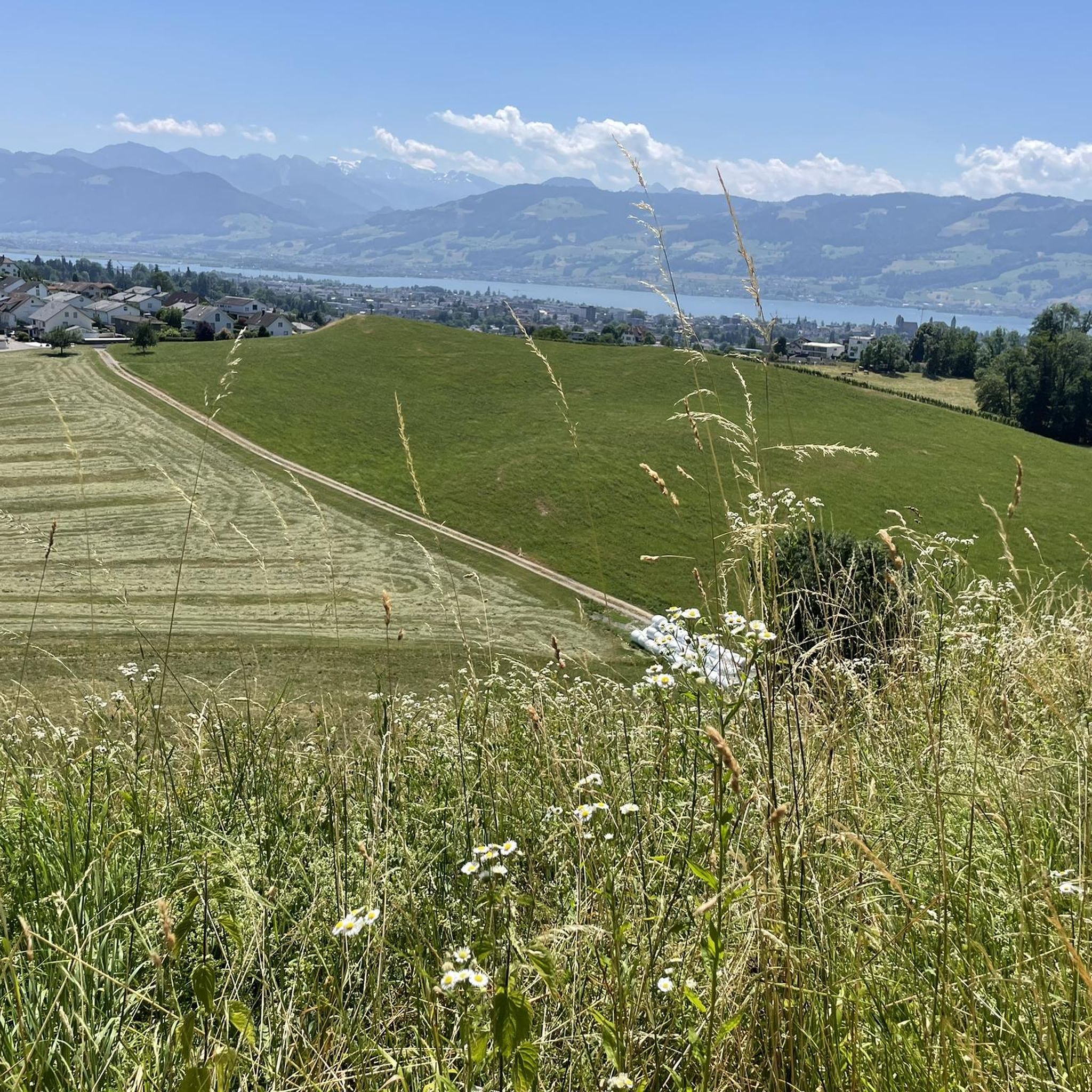
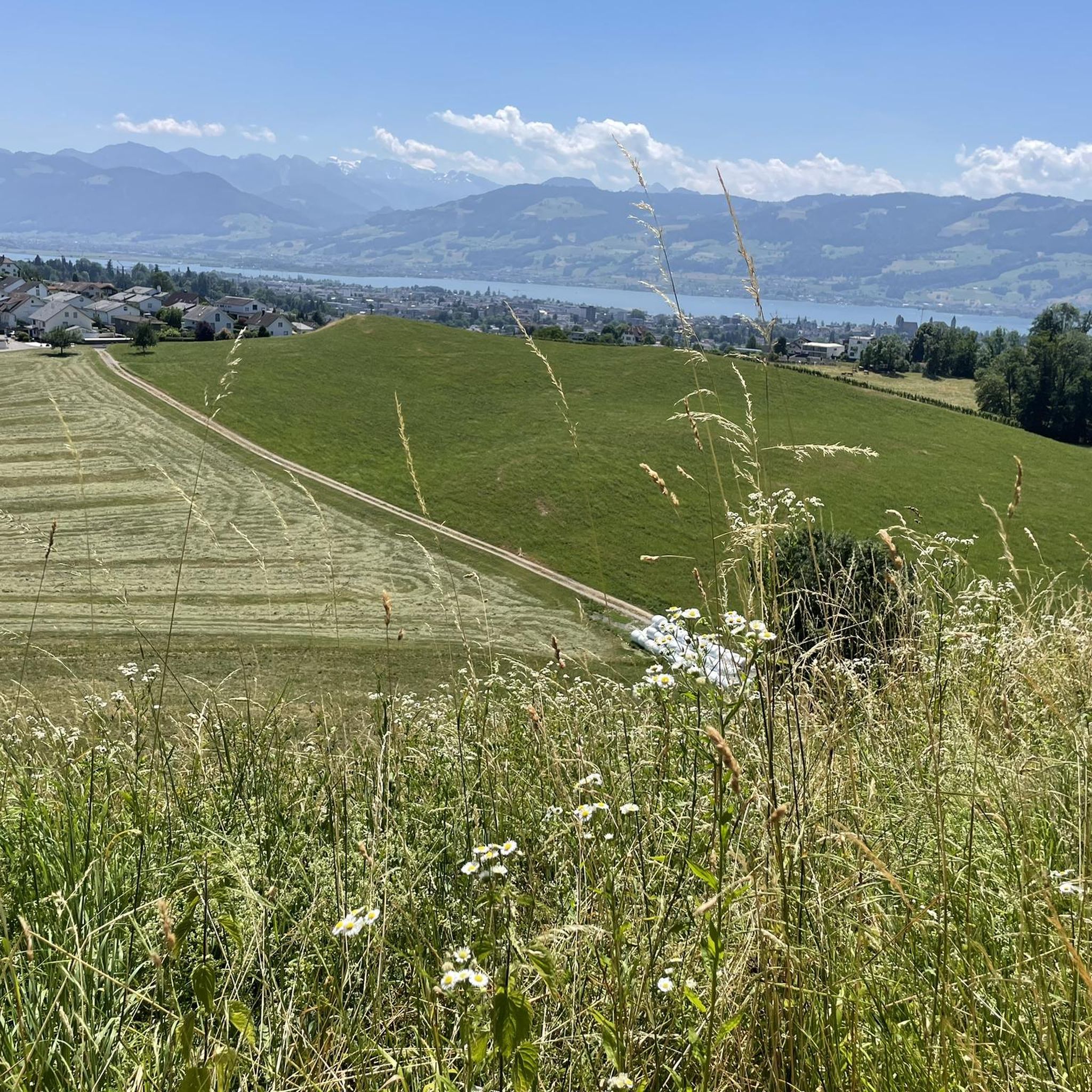
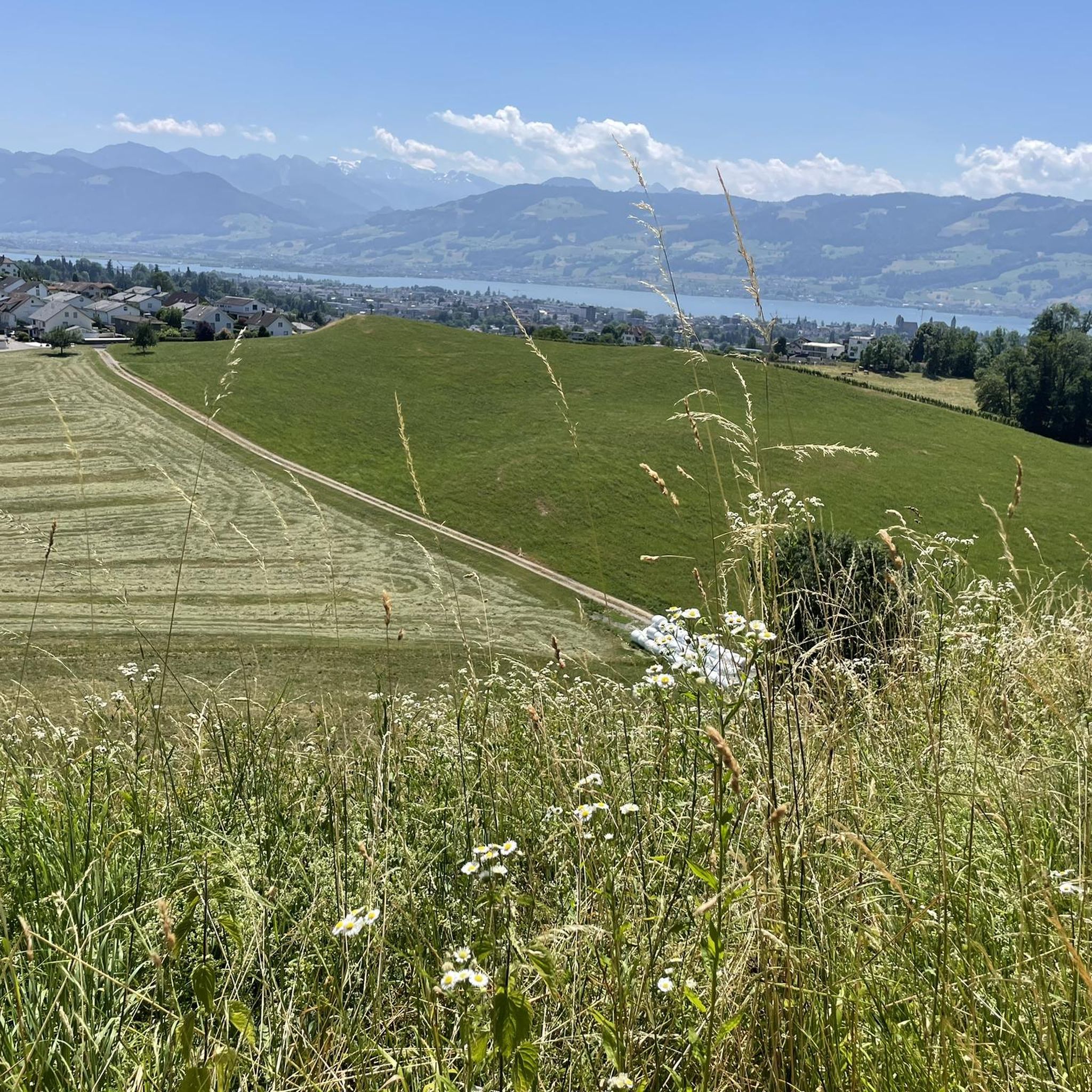
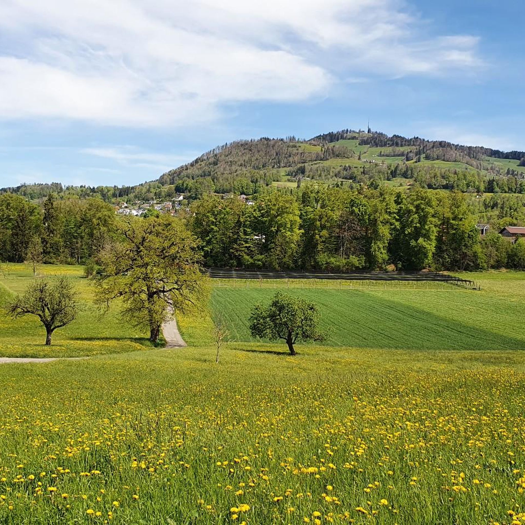
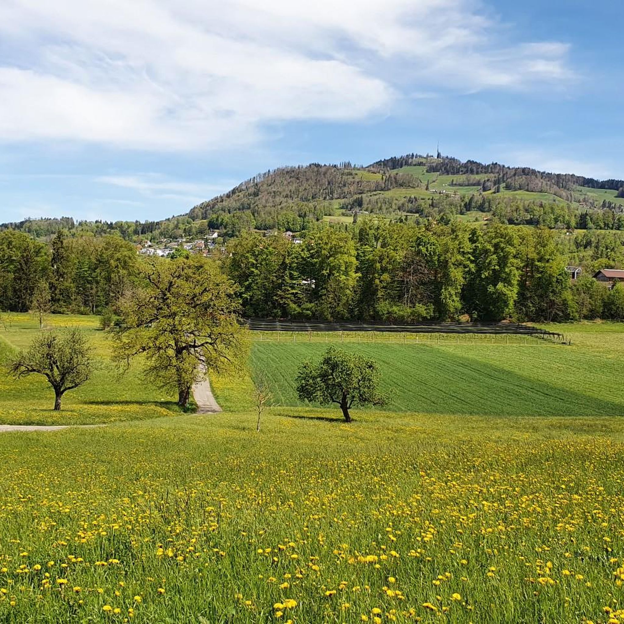
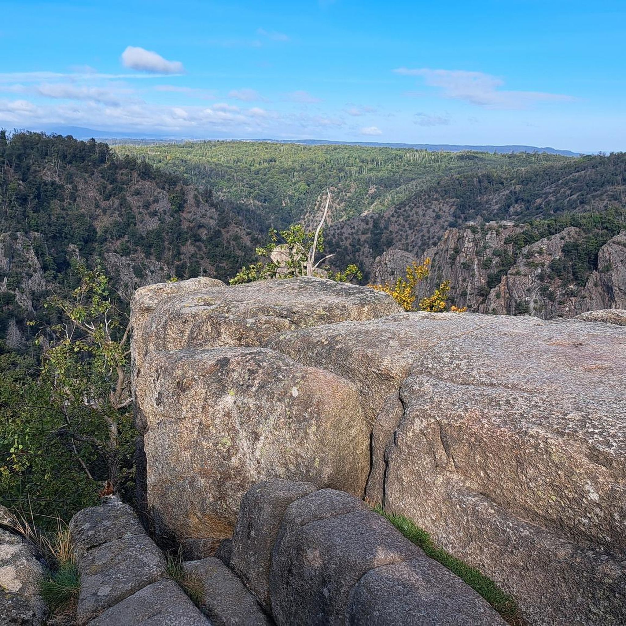
Tips from the Community

pretty here, very pretty
0
0
pretty here, very pretty
0
0

Popular transition from Lake Zurich to Lake Sihl.
0
0

Conditionally very demanding. 200m steep running section.
0
0

Very nice stop, good restaurant, charging facilities for e-bikers.
0
0

The restaurant reopens in 2025. Rather expensive.
1
0
Frequently Asked Questions
What kind of terrain can I expect on mountaineering routes around Rüti (ZH)?
The mountaineering routes around Rüti (ZH) are primarily characterized by forested hills, river valleys, and scenic small lakes within the Zurich Oberland. While direct technical mountaineering is limited, the area offers challenging mountain hikes with moderate ascents, providing excellent opportunities for training and building endurance. You'll encounter varied terrain, from paths along rivers like the Jona to climbs up local peaks such as Hüttchopf.
Are there any circular mountaineering routes available?
Yes, several circular routes are available. For instance, you can explore the Etzelpass loop from Pfäffikon SZ, which offers varied terrain and panoramic vistas. Another option is the Mountaineering loop from Schnebelhorn, a moderate 7 km route that takes about 2 hours 21 minutes to complete.
What are some notable natural features or landmarks I might see on these routes?
The region is rich in natural beauty. You might encounter picturesque gorges like the Bachtelspalt, or the serene Sagenraintobel Waterfalls. Higher up, the Bachtel Tower offers superb views of Lake Zurich and the Alps, while the Schnebelhorn Summit provides expansive views across the Zurich Oberland.
How many mountaineering routes are there in Rüti (ZH)?
There are 5 mountaineering routes listed around Rüti (ZH), all categorized as moderate difficulty. These routes offer a good range of distances and elevation gains for various fitness levels.
What is the best time of year for mountaineering in this area?
The Zurich Oberland, where Rüti (ZH) is located, is generally best explored for hiking and mountaineering during the warmer months, typically from spring through autumn. During these seasons, trails are usually clear of snow, and the weather is more stable, offering pleasant conditions and clear views. Winter mountaineering would require specific equipment and experience due to snow and ice.
Are there any family-friendly options for mountaineering near Rüti (ZH)?
While the routes are generally moderate and involve significant elevation, families with older children who are accustomed to hiking can enjoy many of the trails. The region's diverse landscapes, including river valleys like the Jona and scenic lakes such as Egelsee and Lützelsee, offer engaging environments. For specific family-friendly recommendations, consider routes with less extreme elevation changes or shorter distances, such as the Mountaineering loop from Schnebelhorn.
Can I bring my dog on these mountaineering trails?
Many trails in the Zurich Oberland are dog-friendly, but it's always advisable to keep dogs on a leash, especially in nature reserves, near livestock, or in crowded areas. Be mindful of local regulations and ensure your dog is capable of handling the moderate terrain and distances involved in these mountaineering routes.
What are the typical distances and elevation gains for these routes?
The mountaineering routes around Rüti (ZH) vary in length from approximately 7 km (4.3 miles) to 12 km (7.5 miles). Elevation gains typically range from around 330 meters (1,080 feet) to over 600 meters (1,970 feet), making them moderate challenges suitable for those with a good level of fitness.
Is public transport available to access the trailheads?
Rüti (ZH) is well-connected by public transport, and many trailheads in the Zurich Oberland are accessible via train or bus. For example, routes like the Etzelpass loop from Pfäffikon SZ can often be reached by public transport to nearby towns, which serve as starting points. It's recommended to check local transport schedules for specific trailhead access.
Are there any places to eat or stay near the mountaineering routes?
Rüti (ZH) and the surrounding towns in the Zurich Oberland offer various cafes, pubs, and accommodation options. After a day on the trails, you can find places to refresh and relax. While specific establishments aren't listed for each trailhead, the general region provides amenities for visitors.
What do other mountaineers enjoy most about the routes in Rüti (ZH)?
Mountaineers who have explored the Rüti (ZH) area often appreciate the diverse terrain, which includes forested mountain slopes and scenic views. The routes are praised for offering a good challenge for moderate skill levels and providing a gateway to the wider alpine regions for training and endurance building.
Are there any routes that offer particularly expansive views?
Yes, routes that ascend to higher points in the region often provide expansive views. For example, the Etzelpass loop from Pfäffikon SZ features ascents to the historic Etzelpass, offering panoramic vistas. Similarly, routes around Hüttchopf are known for their wide-ranging outlooks across the varied topography of the Zurich Oberland.
Most popular routes around Rüti (ZH)
Most popular attractions around Rüti (ZH)

Get inspired with the komoot mobile app


Explore more
Browse the best Mountain Hikes & Routes in other regions.
