The best mountain hikes around Mogelsberg
5.0
(1)
13
hikers
2
hikes
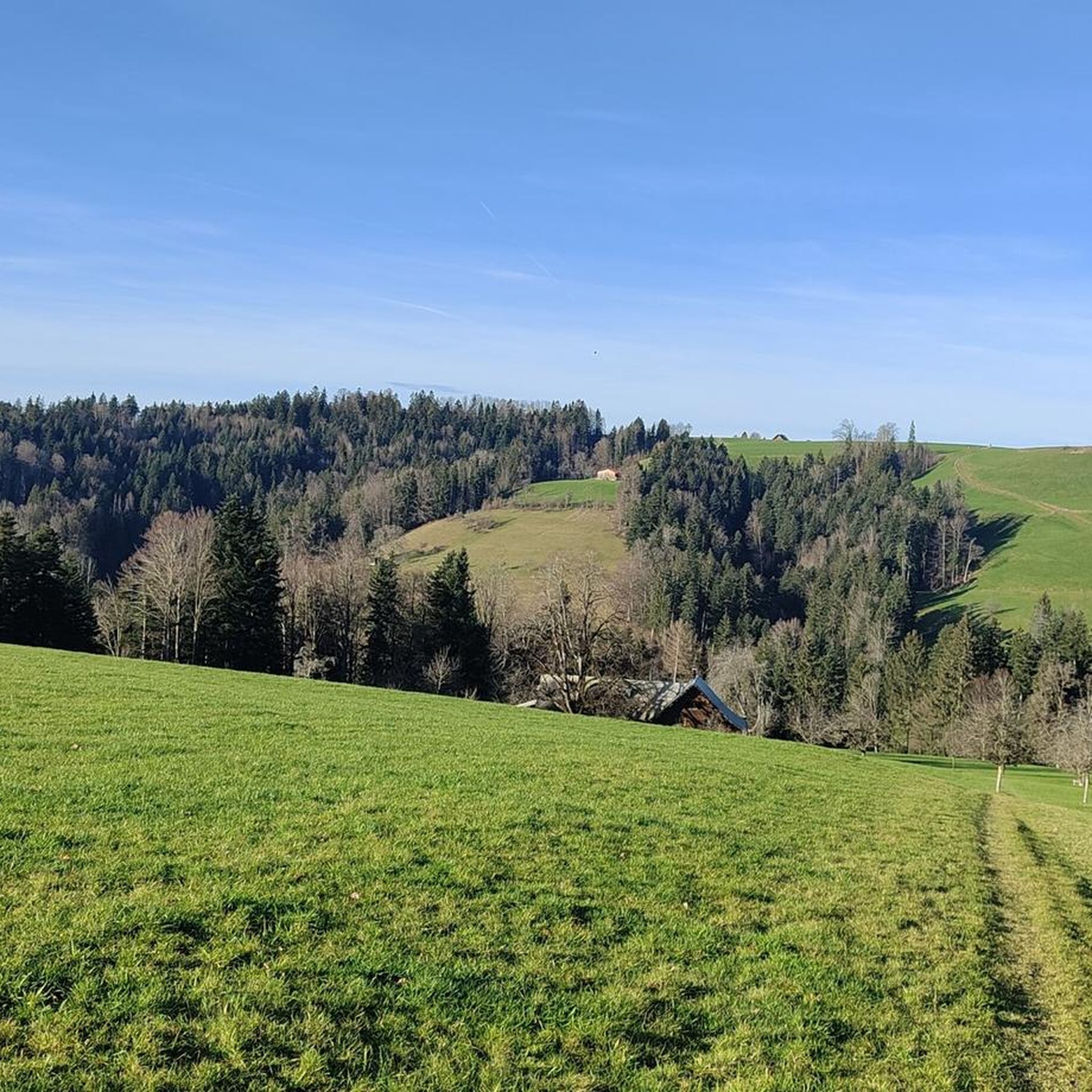
Mountaineering routes around Mogelsberg offer diverse experiences within the Toggenburg region near St. Gallen, Switzerland. The area is characterized by rolling hills, varied terrain, and extensive forests, providing a robust setting for strenuous mountain-based activities. Panoramic views are available from various points, with routes often traversing both open landscapes and wooded sections. This topography supports a range of mountain hikes, from moderate trails to those requiring alpine experience.
Best mountaineering routes around Mogelsberg
- The most popular mountaineering route is Hochalp…
Last updated: July 6, 2026
5.0
(1)
4
hikers
5.23km
02:06
310m
310m
Moderate mountaineering route. Good fitness required. Mostly accessible paths. Sure-footedness required.
3
hikers
10.6km
04:01
600m
600m
Moderate mountaineering route. Good fitness required. Mostly accessible paths. Sure-footedness required.

Sign up for free
2
hikers
15.7km
05:35
800m
800m
Hard mountaineering route. Very good fitness required. Mostly accessible paths. Sure-footedness required.
3
hikers
9.69km
03:38
590m
590m
Moderate mountaineering route. Good fitness required. Mostly accessible paths. Sure-footedness required.
1
hikers
7.96km
02:33
340m
350m
Moderate mountaineering route. Good fitness required. Easily-accessible paths. Suitable for all skill levels.
Our route recommendations are based on thousands of hikes, rides, and runs completed by other people on komoot.
Start today with a free account
Your next adventure awaits.
Login or Signup

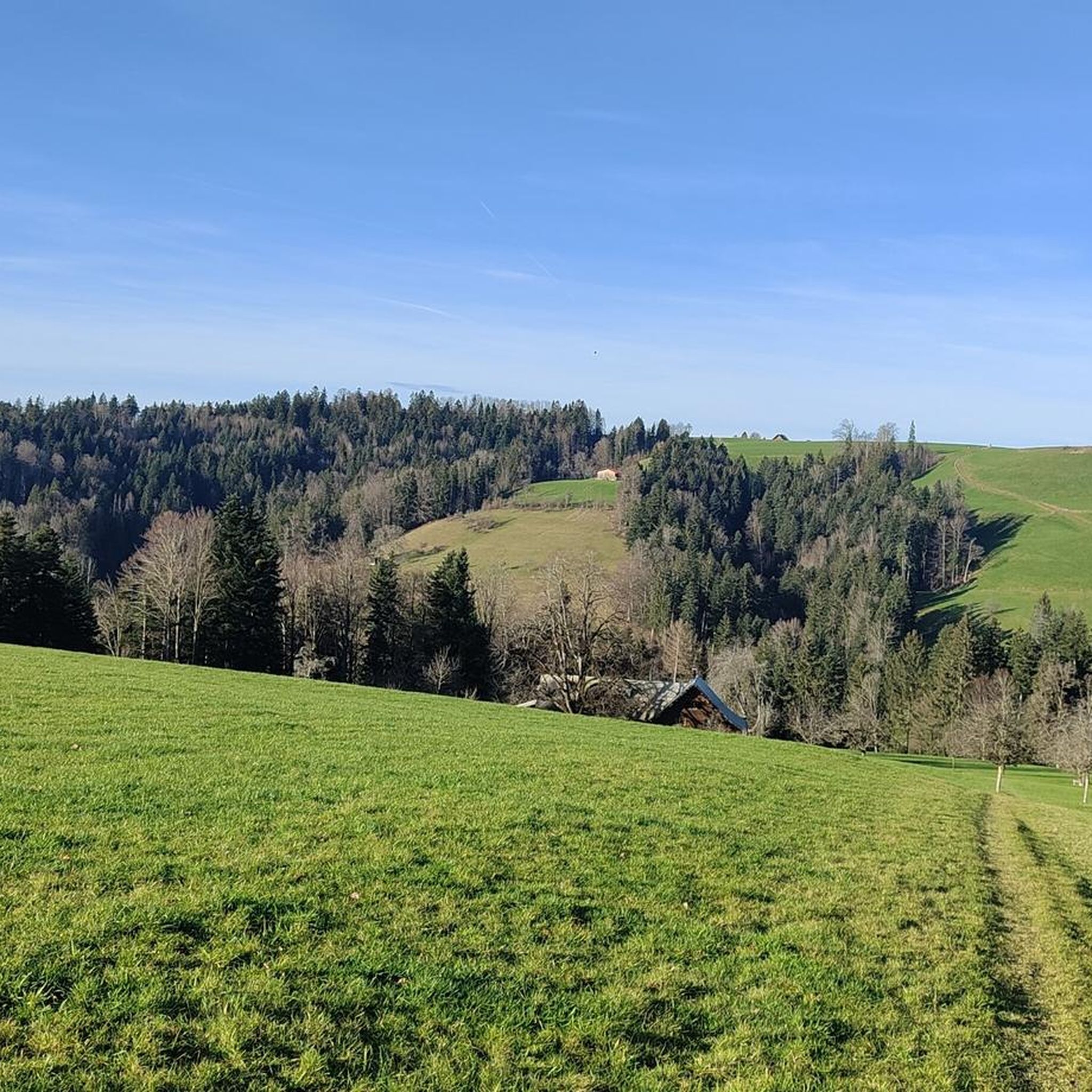
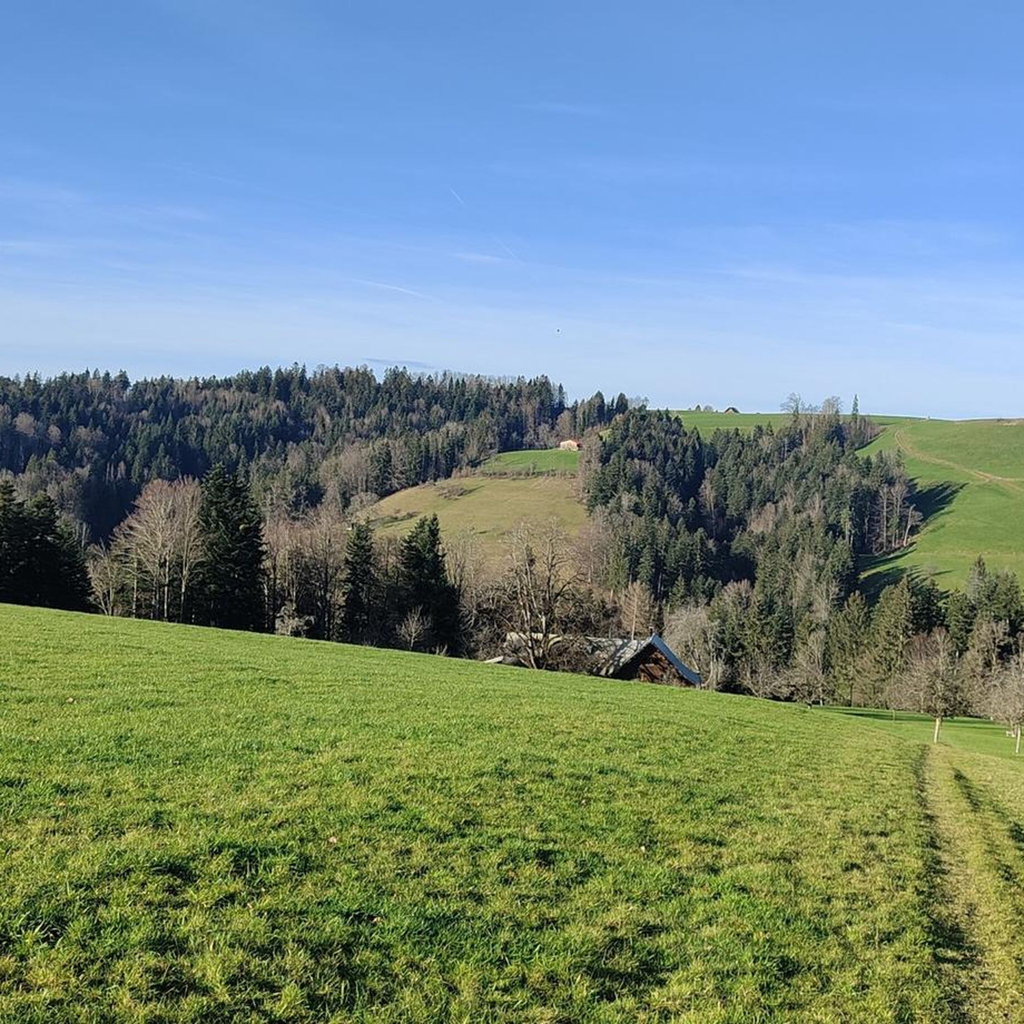
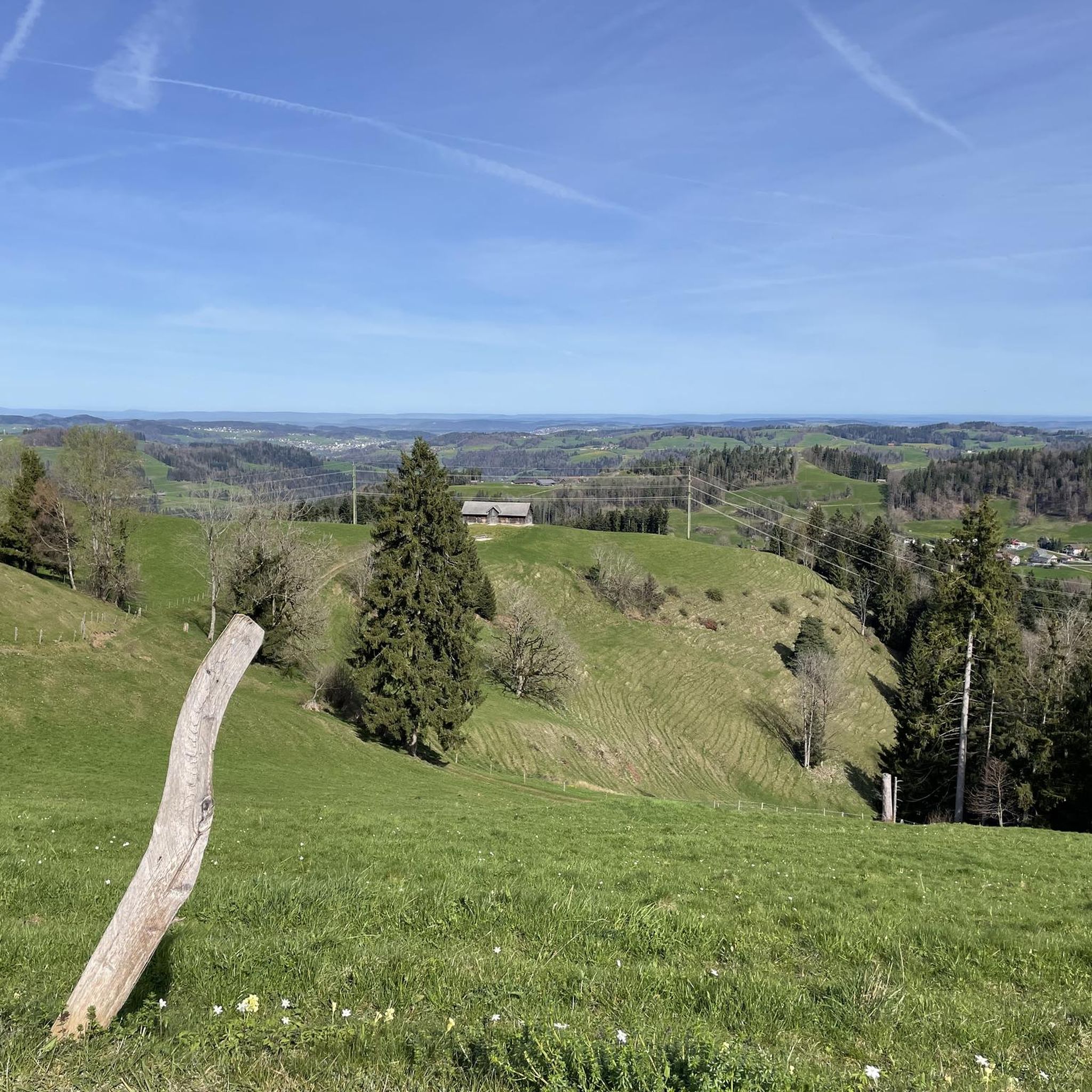
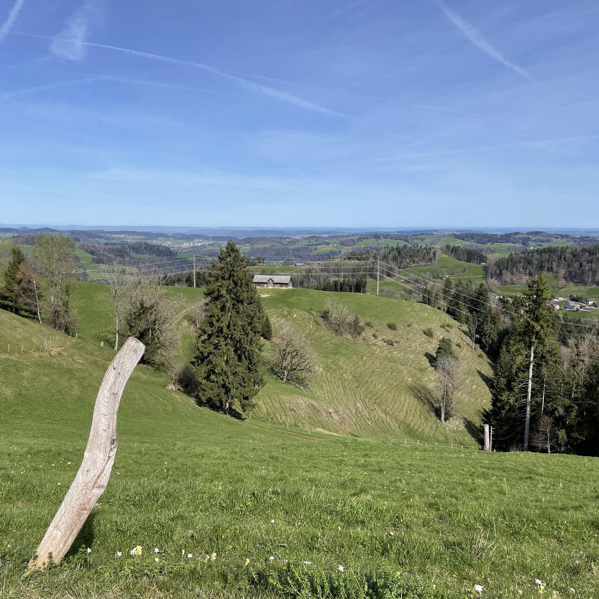
Other adventures around Mogelsberg

Tips from the Community

Easily doable even for inexperienced hikers. The last section is a bit steep, but definitely worth doing. The view is phenomenal!
1
0

Mountain restaurant with young owners. Friendly service and large, delicious portions. Sit down and enjoy the Alpstein and Churfirsten mountains.
1
0

Great view of the Säntis and Eastern Switzerland
1
0

The summit (Chümibaren, sometimes also Chümmibarren, or Chrüzegg), just west of the Chrüzegg mountain restaurant, is definitely worth a visit. The summit cross, view, and bench are all worth a visit.
2
0

Fun for all ages: You'll find colorful, round stones that are perfect for rolling down the track. Once you get to the bottom, just go back up the stairs and roll again.
0
0

Beautiful view and a place in the sun
2
0

Hochalp West with the Hochalp restaurant.
2
0
Hochalp summit (1530 m) offers superb panoramic views. The summit lies slightly south of the path between the Hochalp restaurant (1521 m, to the west) and the secondary summit Hochalp Ost (1525 m).
4
0
Frequently Asked Questions
What is the general difficulty level of mountaineering routes around Mogelsberg?
The mountaineering routes around Mogelsberg are generally considered moderate, offering a good challenge for those with reasonable fitness. The region's varied terrain includes rolling hills and sections that may require sure-footedness, aligning with the Swiss Alpine Club (SAC) scale for mountain hiking.
Are there any longer mountaineering routes for experienced hikers?
Yes, for those seeking a more extended challenge, the Chümibaren loop from Libingen is a difficult route spanning approximately 16.1 km (10 miles) with significant elevation gain, typically taking over 5 hours to complete. This route offers a robust experience for advanced mountaineers.
What kind of views can I expect on the mountaineering trails in Mogelsberg?
Mogelsberg is known for its magnificent panoramic views from various points, showcasing the rolling hills and diverse landscapes of the Toggenburg region. Trails often traverse both open sections and forested areas, providing a mix of expansive vistas and sheltered paths.
Are there any family-friendly attractions or activities near the mountaineering routes?
Absolutely! The region is home to the Wissbach Gorge Trail, a 'wildly romantic' side valley with a covered wooden walkway, barbecue spots, and rest areas, making it ideal for families. Another highlight is the Neckertal Treetop Walk, Switzerland's first treetop walk, which features a 55-meter high viewing platform and a 650-meter forest adventure trail with over 30 learning stations.
Can I find circular mountaineering routes in Mogelsberg?
Yes, many of the mountaineering routes in Mogelsberg are designed as loops, allowing you to start and end at the same point. An example is the Hochalp loop from Hochalp, which offers views of the surrounding alpine landscape over approximately 5 km (3.1 miles).
What do other mountaineers say about the routes in Mogelsberg?
The mountaineering routes in Mogelsberg are highly rated by the komoot community, with an average score of 5.0 stars. Users often praise the varied terrain and the beautiful views encountered along the trails.
Are there any specific natural features or gorges to explore while mountaineering?
Yes, the area features several interesting natural formations. You can explore the Wissbach Gorge and Historic Power Plant, or discover the Ofenloch Gorge, both offering unique geological insights and scenic beauty.
Is there a mountaineering route that starts from Libingen?
Yes, the Schnebelhorn – Schindelberghöchi loop from Libingen is a popular moderate route that explores varied terrain, covering approximately 10.4 km (6.4 miles) and typically taking around 3 hours and 56 minutes.
Are there any routes that offer a mix of forested and open sections?
Certainly. The Hochalp loop from Parkplatz Egg is a great option, leading through both forested areas and open sections, providing a diverse hiking experience over about 8.5 km (5.3 miles).
What is the best season for mountaineering in Mogelsberg?
The diverse hiking trails in Mogelsberg are generally best enjoyed during the warmer months, from late spring to early autumn, when the weather is stable and the paths are clear. While some routes might be accessible in winter, conditions can vary, and specific winter mountaineering experience may be required.
Are there any waterfalls to see near the mountaineering routes?
Yes, the region boasts several beautiful waterfalls. You can visit the Giessenfall Waterfall or explore the Brudertobel Cave with Waterfall, both offering picturesque natural sights.
Is there a mountaineering loop that starts directly from Hochalp?
Yes, the Mountaineering loop from Hochalp is a moderate route covering approximately 9.7 km (6 miles) with significant elevation gain, offering a rewarding experience for those starting from this location.
Most popular routes around Mogelsberg
Most popular attractions around Mogelsberg

Get inspired with the komoot mobile app


Explore more
Browse the best Mountain Hikes & Routes in other regions.
