The best MTB trails in Sudenpesänkangas
3.9
(6)
91
riders
6
rides
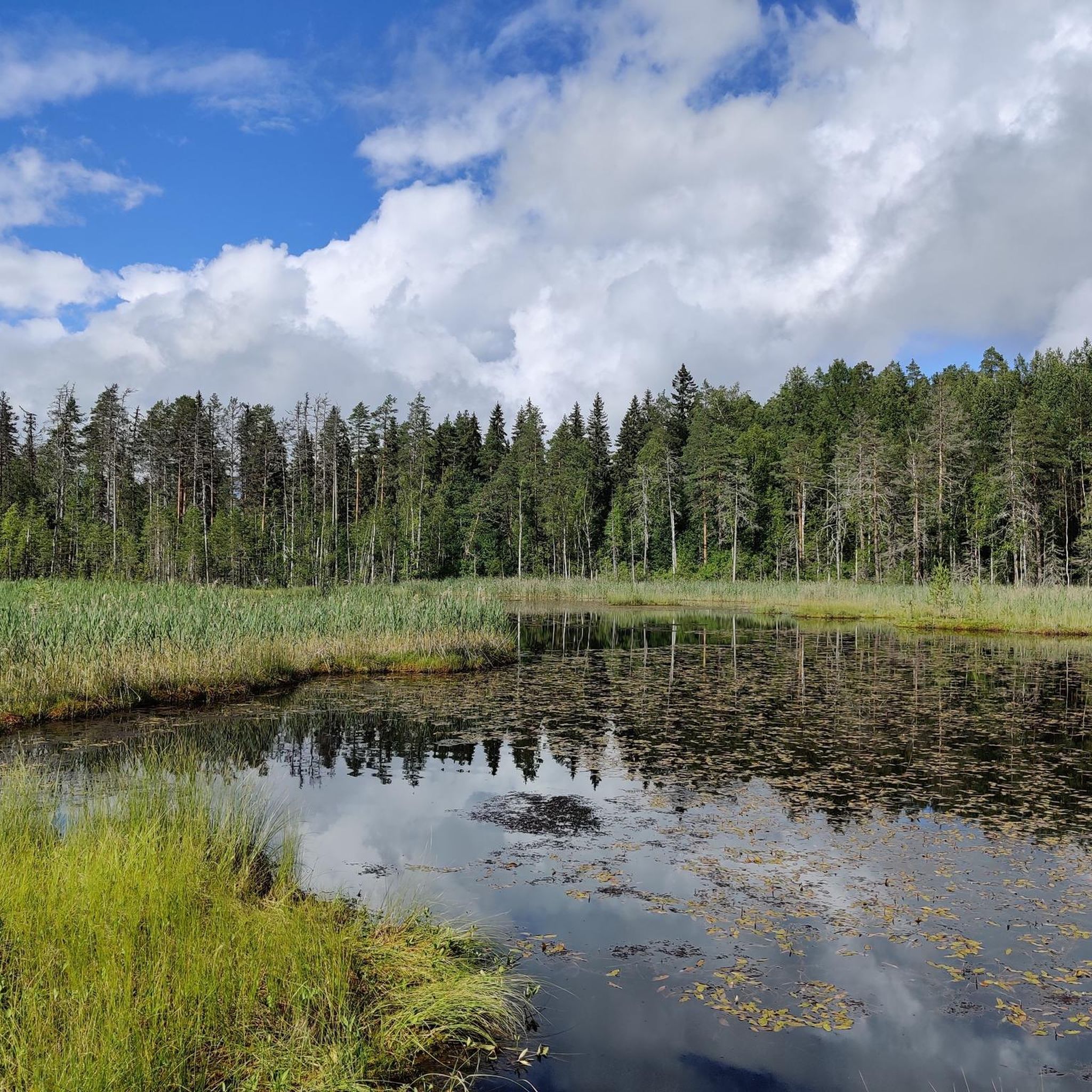
Mountain bike trails in Sudenpesänkangas traverse varied wooded landscapes, numerous lakes, and ponds within the Evo Hiking Area. The terrain features diverse forest types, esker ridges, and an impressive altitude difference of up to 80 meters. This area offers a mix of technical singletrack and wider paths, providing varied experiences for mountain bikers. Ridge trails and forest streams contribute to the natural features encountered.
Best mountain bike trails in Sudenpesänkangas
- The most popular mountain bike trail is Evo campus loop…
Last updated: July 4, 2026
3.7
(3)
40
riders
37.0km
03:06
220m
220m
Moderate mountain bike ride. Good fitness required. Advanced riding skills necessary.
25
riders
26.8km
02:12
150m
150m
Hard mountain bike ride. Good fitness required. Advanced riding skills necessary. Some portions of the route may require you to push your bike.

Sign up for free
3.0
(2)
16
riders
15.2km
01:13
60m
60m
Moderate mountain bike ride. Great for any fitness level. Advanced riding skills necessary.
2
riders
21.9km
01:35
140m
140m
Easy mountain bike ride. Great for any fitness level. Suitable for all skill levels.
3
riders
13.5km
01:15
100m
100m
Hard mountain bike ride. Great for any fitness level. Advanced riding skills necessary. Some portions of the route may require you to push your bike.
Our route recommendations are based on thousands of hikes, rides, and runs completed by other people on komoot.
Start today with a free account
Your next adventure awaits.
Login or Signup
Popular around Sudenpesänkangas
Tips from the Community

Frequently Asked Questions
How many mountain bike trails are available in Sudenpesänkangas?
Sudenpesänkangas offers a network of 6 mountain bike trails, catering to various skill levels. These routes traverse diverse wooded landscapes, numerous lakes, and ponds, providing a comprehensive outdoor experience.
What kind of terrain can I expect on the mountain bike trails in Sudenpesänkangas?
The terrain in Sudenpesänkangas is highly varied, shaped by glacial formations. You'll encounter esker ridges with steep slopes, diverse forest types, and both challenging singletrack sections and easier dirt and forest roads. The region boasts an altitude difference of up to 80 meters, ensuring an engaging ride.
Are there any family-friendly mountain bike routes in Sudenpesänkangas?
Yes, there are routes suitable for families. For an easier ride, consider the Iso Nahkijärvi – Vähä Vihkijärvi loop from Höyheninen, which is rated as easy and offers a pleasant experience through the area's natural beauty.
What are some notable natural features or viewpoints along the trails?
The trails in Sudenpesänkangas feature numerous lakes and ponds with natural shores. You can find picturesque spots like Syrjänalunen, a romantic pond with a fire pit, and Pitkänniemenjärvi, which offers a viewpoint with stairs leading to the lake. Many routes also follow magnificent esker ridges, providing scenic views of the surrounding landscape and old-growth forests.
Are there any challenging mountain bike trails for experienced riders?
Absolutely. Sudenpesänkangas is known for its challenging terrain. Experienced riders can tackle routes like the Evo campus – Syrjänalunen loop from Keskinen Rautjärvi or the Ylinen Niemisjärvi – Vähä-Koukkujärvi loop from Ylinen Niemisjärvi, both rated as difficult, offering technical sections and significant elevation changes.
What do other mountain bikers enjoy most about Sudenpesänkangas?
The mountain bike trails in Sudenpesänkangas are highly rated by the komoot community, with an average score of 3.8 stars. Riders often praise the varied wooded landscapes, the numerous lakes and ponds, and the engaging ridge trails that offer a mix of technical singletrack and wider paths.
Are the mountain bike trails in Sudenpesänkangas mostly loop routes?
Yes, many of the mountain bike trails in Sudenpesänkangas are designed as loops, allowing you to start and finish at the same point. Examples include the Evo campus loop from Keskinen Rautjärvi and the Alinen Rautjärvi – Ylinen Niemisjärvi loop from Keskinen Rautjärvi.
What is the best time of year for mountain biking in Sudenpesänkangas?
Sudenpesänkangas is a year-round outdoor destination. While spring to autumn offers ideal conditions for mountain biking on dry trails, the area is also suitable for winter activities like skiing and snowshoeing. Always check local conditions before heading out, especially during shoulder seasons.
Are there any facilities or shelters along the mountain bike routes?
The broader Evo hiking area, which includes Sudenpesänkangas, features shelters and fire pits. For instance, the Sorsakolu Shelter offers a nice spot by the water for resting. While specific facilities vary by route, the natural setting often provides opportunities for breaks by lakes and ponds.
How long do the mountain bike trails typically take to complete?
Trail durations vary depending on the route's length and difficulty. For example, the moderate Alinen Rautjärvi – Ylinen Niemisjärvi loop from Keskinen Rautjärvi, covering 29.4 km, typically takes around 2 hours and 13 minutes. More challenging routes will naturally require more time.

Get inspired with the komoot mobile app


Explore more
Browse the best MTB trails in other regions.
