The best running trails in Brattefjell - Vindeggen Landskapsvernområde
4.3
(3)
292
runners
10
runs
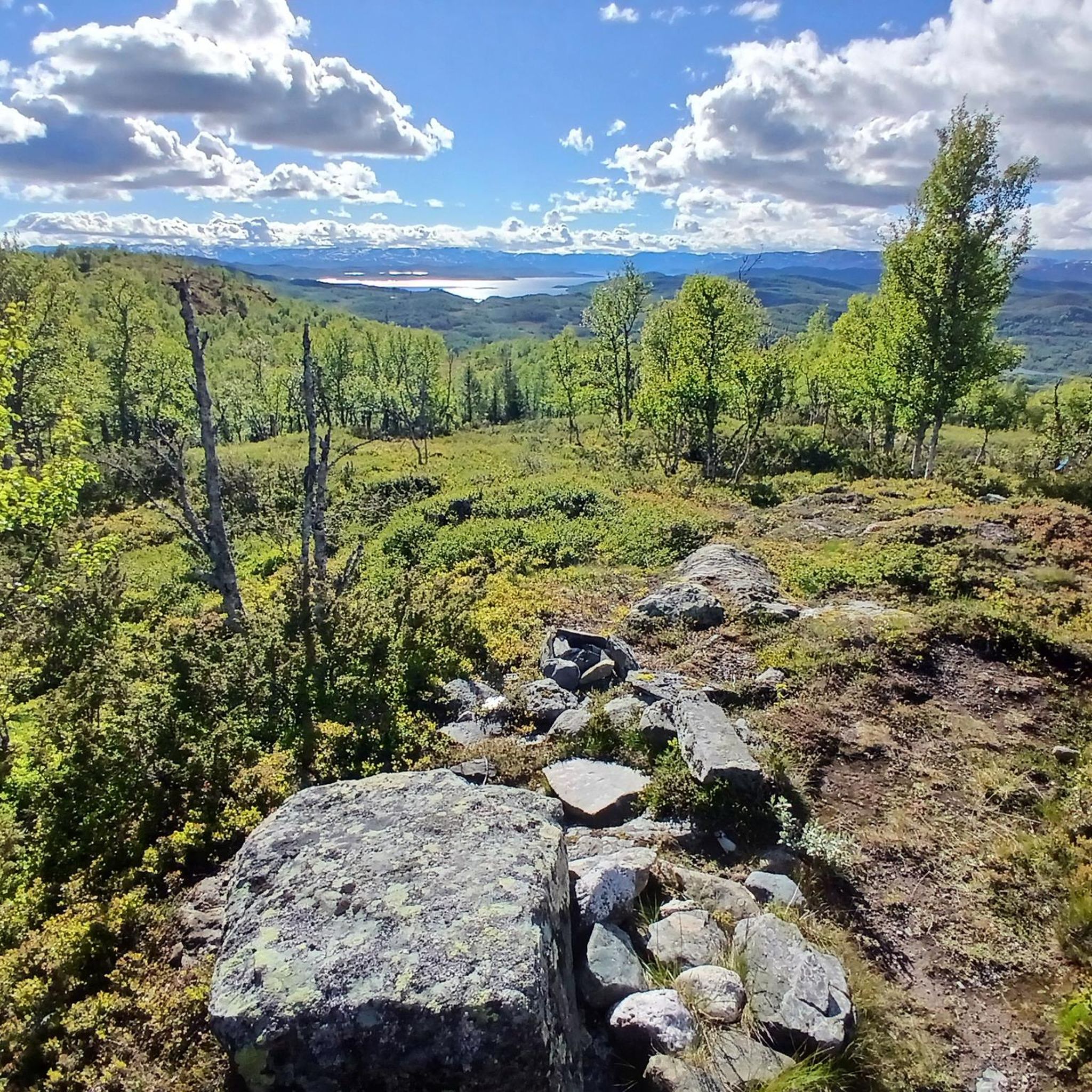
Jogging in Brattefjell - Vindeggen Landskapsvernområde offers routes through a protected landscape of high-mountain and forest regions in Telemark, Norway. The terrain is characterized by a "small-hilly" environment with numerous small lakes and ridges, with a significant portion lying above the tree line. This varied topography provides a dynamic experience for runners, ranging from challenging uphill sections to flatter routes around lakes. The area includes prominent peaks like Brattefjell (1540 meters) and Vindeggen (1516 meters), and the highest mountain, Gaustatoppen…
Last updated: July 4, 2026
4.0
(1)
94
runners
10.5km
02:06
670m
670m
Hard run. Very good fitness required. Sure-footedness, sturdy shoes and alpine experience required.
10
runners
33.3km
05:35
1,610m
1,600m
Hard run. Very good fitness required. Sure-footedness, sturdy shoes and alpine experience required.

Sign up for free
4.0
(1)
34
runners
10.2km
01:11
120m
120m
Moderate run. Good fitness required. Mostly paved surfaces. Suitable for all skill levels.
4
runners
5.83km
00:40
90m
90m
Moderate run. Good fitness required. Mostly paved surfaces. Suitable for all skill levels.
8
runners
10.3km
01:24
400m
400m
Hard run. Very good fitness required. Mostly paved surfaces. Suitable for all skill levels.
Get access to more routes and recommendations from other explorers.
Sign up for free
Already have an account?
Our route recommendations are based on thousands of hikes, rides, and runs completed by other people on komoot.
Start today with a free account
Your next adventure awaits.
Login or Signup
Popular around Brattefjell - Vindeggen Landskapsvernområde
Tips from the Community

Breathtaking and impressive views of the surrounding mountains and fjords. Simply magnificent!
2
0

There is a free parking spot across from the Hytta. Many locals park here too. Save yourself the parking fees for the large lot.
3
0
Cute little Hytta (private), which marks the entrance to the trail on Gaustatoppen.
3
0

Stavsro is the common starting point for an adventure on Gaustatoppen. As well as parking, there's a cafe here that specialises in regional rømmegrøt, a porridge made with sour cream, milk, and a bit of flour, and then topped with cinnamon and sugar. Of course, it also sells waffles.
0
0
Gaustatoppen Turisthytte is famous for it's waffles – incredibly it sells over 50,000 a year. It's the ideal fuel after the long pull up towards Gaustatoppen's summit ridge. Built in 1893, this DNT hut is available to book and serves other food beyond waffles and drink too.
0
0
A popular and straightforward route that features a hefty amount of elevation gain. However, two rewards await you at the summit. First, there are the magnificent views of the mountains of the mountains of Telemark, Buskerud, and the Oslomarka. Second, there's the thrilling run back down.
0
0

In summer for running and in winter with the spectacular track. Both are great fun
1
0
Very informative for those interested
0
0
Frequently Asked Questions
How many jogging routes are available in Brattefjell - Vindeggen Landskapsvernområde?
There are 13 dedicated jogging routes in Brattefjell - Vindeggen Landskapsvernområde. These range from moderate to difficult, offering a variety of challenges for runners.
What kind of terrain can I expect when running in Brattefjell - Vindeggen Landskapsvernområde?
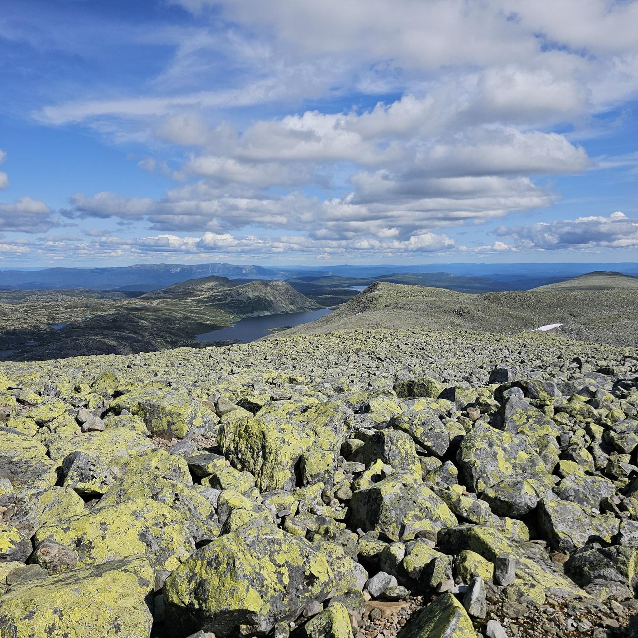
The terrain in Brattefjell - Vindeggen Landskapsvernområde is quite diverse, characterized by a "small-hilly" environment with many areas above the tree line, featuring small lakes and ridges. You'll encounter high-mountain and forest regions, ice-eroded valleys, mires, and significant block fields, especially around the Gaustatoppen massif. This variety provides a dynamic experience, from challenging ascents to flatter paths around lakes.
Are there running routes suitable for beginners or those looking for an easier jog?
While many routes in Brattefjell - Vindeggen Landskapsvernområde are challenging, there is 1 easy route and 6 moderate routes available. These offer less strenuous options for those new to mountain running or looking for a more relaxed experience amidst the stunning scenery.
What are some prominent natural features or landmarks I might see along the running trails?
Many running trails offer views of significant natural features and landmarks. You might pass by the majestic Gaustatoppen summit viewpoint, or experience the accessible "high summit feeling" at Heimveglinuten Summit. The area is also home to the Bossnuten Summit and offers insights into the region's geology at the Gaustatoppen Geological History Information Board.
Are there any circular running routes in the area?
Yes, there are several circular running routes. For a challenging long-distance option, consider the Gaustatoppen Turisthytte – Stavsro loop from Ingolfsland, which is 33.3 km. A slightly shorter, but still demanding, loop is the Finbergnuten – Vestfjorddalen naturreservat loop from Ingolfsland, covering 15.3 km through varied mountain and forest landscapes.
What is the best season for running in Brattefjell - Vindeggen Landskapsvernområde?
The area is highly utilized year-round for outdoor pursuits, but the best season for running is typically from late spring to early autumn (June to September). During these months, trails are generally free of snow, and the weather is more favorable for enjoying the high-mountain and forest landscapes. Always check local weather conditions before heading out.
Can I bring my dog on the running trails?
Brattefjell - Vindeggen Landskapsvernområde is a protected area, and while specific regulations for dogs on trails can vary, generally, dogs are welcome but must be kept on a leash, especially during the bird nesting season and when wild reindeer are present. Always respect local signage and wildlife.
What do other runners enjoy most about jogging in Brattefjell - Vindeggen Landskapsvernområde?
The area is highly rated by the komoot community, with an average score of 4.5 stars. Reviewers often praise the stunning panoramic views, particularly from peaks like Gaustatoppen and Heimveglinuten, and the diverse, well-preserved natural landscape that offers a rewarding challenge for all skill levels.
Are there any running routes that offer significant elevation gain for a challenging workout?
Absolutely. Many routes in the region feature substantial elevation gain. For instance, the Gaustatoppen out and back – Rjukan route involves over 660 meters of ascent over 10.5 km, making it a difficult and rewarding climb. Another option is the Gaustatoppen Turisthytte loop from Rjukan, which boasts over 1500 meters of elevation gain.
Is public transport available to access the running trails in Brattefjell - Vindeggen Landskapsvernområde?
Access to the more remote trailheads within Brattefjell - Vindeggen Landskapsvernområde often requires private transport. However, some starting points, especially those closer to towns like Rjukan, might be accessible via local bus services. It's advisable to research specific routes and their nearest public transport links in advance.
Where can I find parking for the running routes?
Parking is typically available at common starting points for popular trails, such as near Stavsro for Gaustatoppen access or other designated trailheads. These parking areas are often well-marked, but it's always a good idea to check the specific route details on komoot for recommended parking locations.
Most popular routes in Brattefjell - Vindeggen Landskapsvernområde
Most popular attractions in Brattefjell - Vindeggen Landskapsvernområde

Get inspired with the komoot mobile app


Explore more
Browse the best Running Trails & Routes in other regions.
