The best running trails in Ottadalen Landskapsvernområde
4.0
(2)
38
runners
8
runs
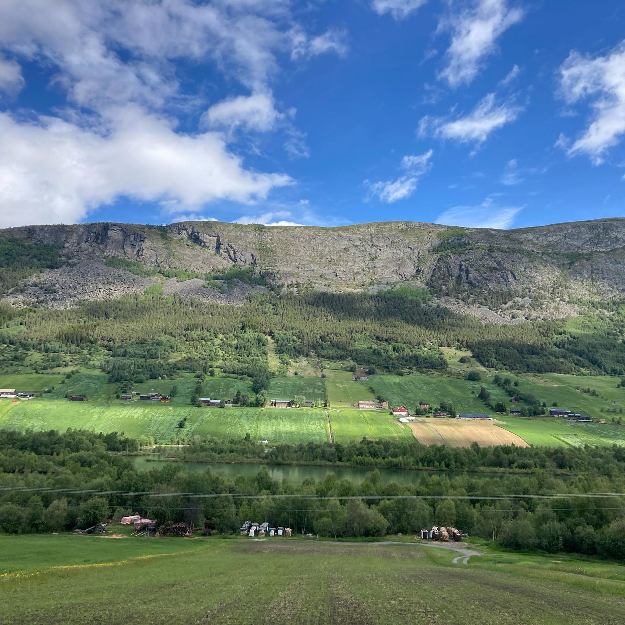
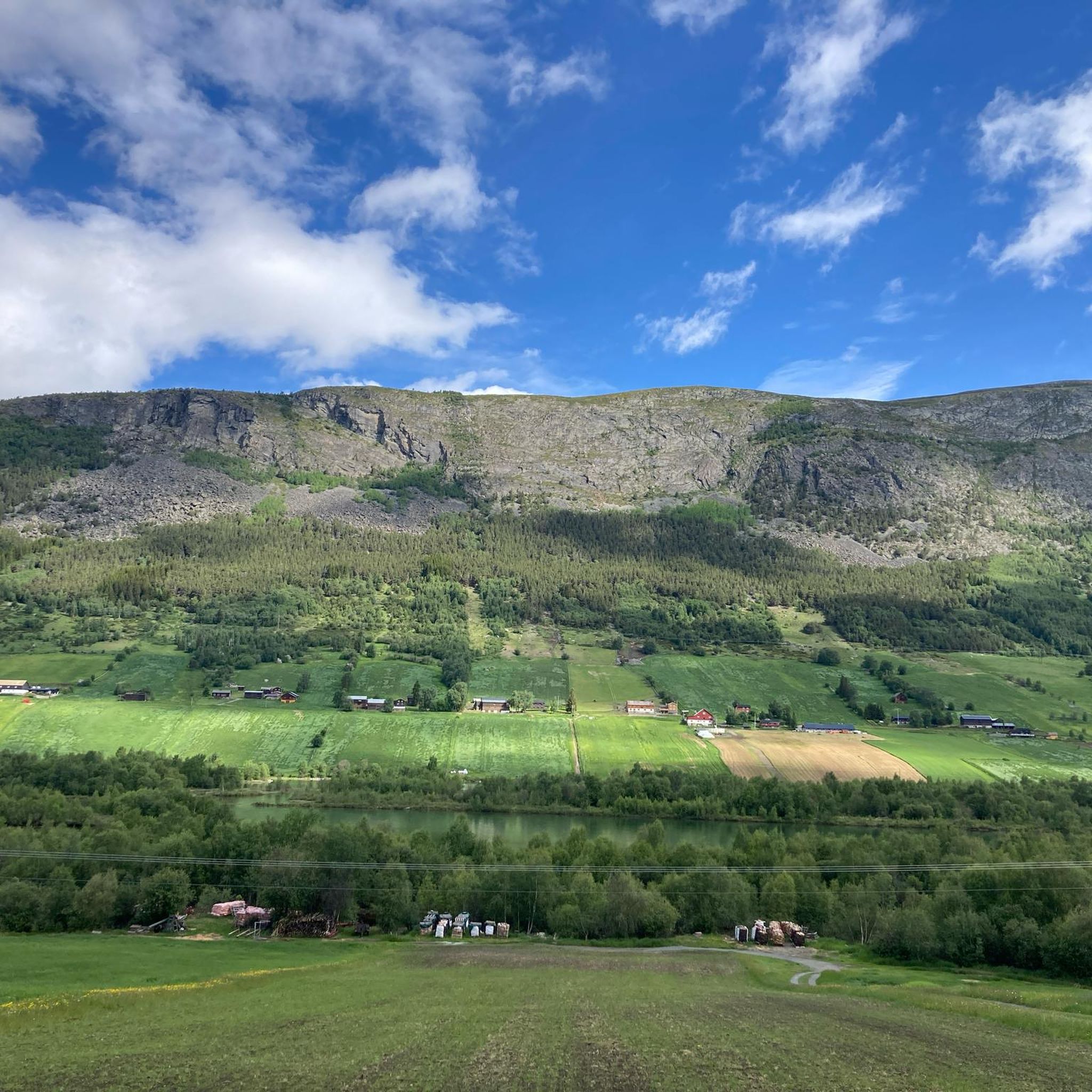
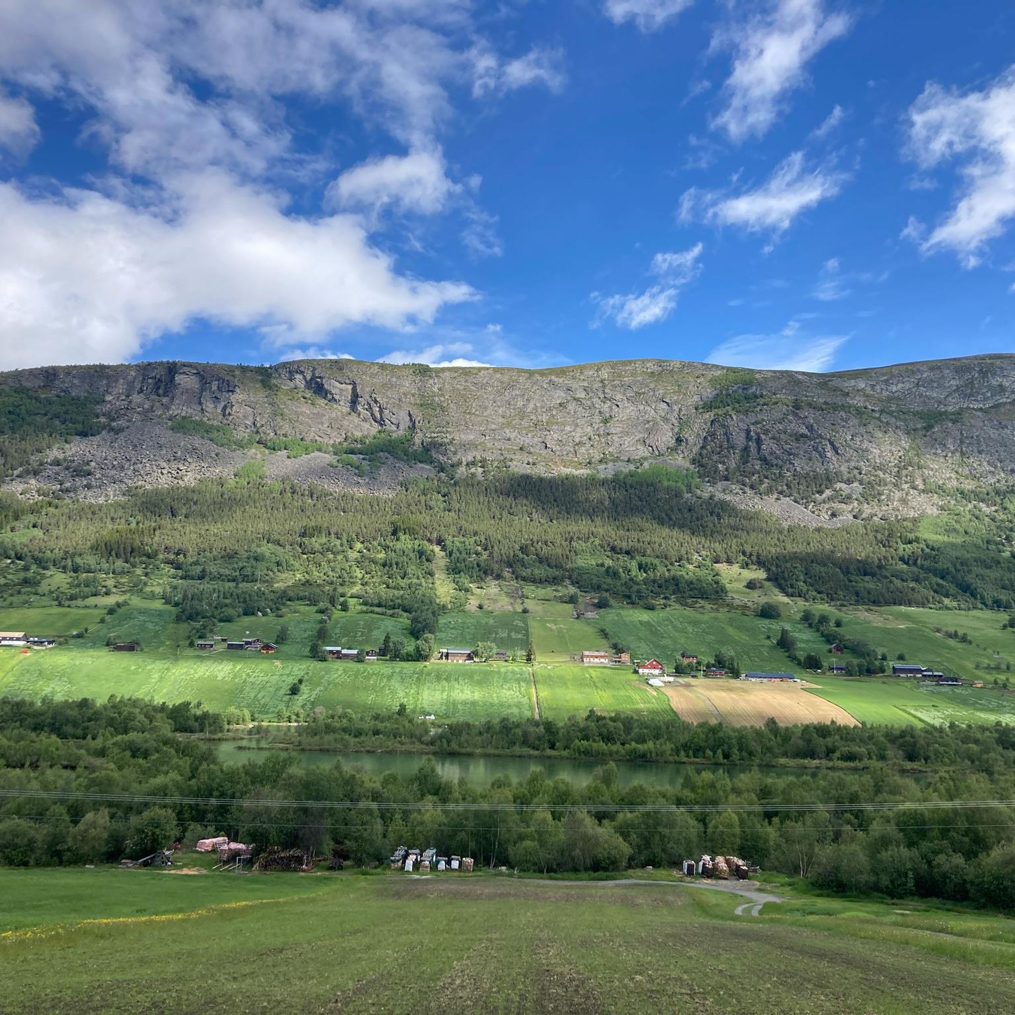
Jogging routes in Ottadalen Landskapsvernområde traverse a landscape shaped by the Otta River, featuring a valley floor, foothills, and views towards mountainous terrain. The region is characterized by varied elevations, from river-level paths to more challenging ascents. This area, bordering Jotunheimen National Park, offers a mix of open pastures and more rugged paths suitable for trail running.
Best jogging routes in Ottadalen Landskapsvernområde
- The most popular jogging route is Running loop from Lom stavkyrkje, a 6.0 miles (9.7 km)…
Last updated: July 4, 2026
5.0
(1)
8
runners
9.62km
01:41
680m
680m
Hard run. Very good fitness required. Sure-footedness, sturdy shoes and alpine experience required.
9
runners
12.9km
02:17
890m
890m
Hard run. Very good fitness required. Sure-footedness, sturdy shoes and alpine experience required.

Sign up for free
3
runners
15.6km
01:39
140m
140m
Hard run. Very good fitness required. Mostly paved surfaces. Suitable for all skill levels.
1
runners
3.11km
00:32
220m
220m
Moderate run. Good fitness required. Mostly paved surfaces. Suitable for all skill levels.
5
runners
5.70km
00:39
100m
100m
Moderate run. Good fitness required. Mostly paved surfaces. Suitable for all skill levels.
Get access to more routes and recommendations from other explorers.
Sign up for free
Already have an account?
Our route recommendations are based on thousands of hikes, rides, and runs completed by other people on komoot.
Start today with a free account
Your next adventure awaits.
Login or Signup
Popular around Ottadalen Landskapsvernområde
Tips from the Community

Beautiful circular trail, with several waterfalls to see. Nice free parking at the bottom.
0
0

Two tumbling rivers combine here, with the Torda and the Store Føysa. The trails here are a delight to run and it's easy to create a loop from the Billingen Seterpensjonat.
0
0
This is a charming lodge set by the rushing Torda river. From here, you can set out on a fantastic loop taking in the Stonebridge, a wedged boulder that acts as a bridge across the Store Føysa.
0
0
A wedged boulder provides a bridge across the cascade here. It's a superb objective for an adventurous run and is easily reached from Billingen Seterpensjonat.
0
0

Information centre and museum about the Norwegian mountains
4
0
The brave can cross the waterfall in the middle of the village on the zipline
4
0

The masses of water rush down impressively and with a lot of noise.
1
1

https://www.billingen.no/ Here is the website for Billingen
0
0
Frequently Asked Questions
How many running routes are available in Ottadalen Landskapsvernområde?
There are 8 dedicated running routes in Ottadalen Landskapsvernområde, offering a variety of experiences from moderate valley runs to more challenging mountain ascents.
Are there any family-friendly jogging trails in Ottadalen Landskapsvernområde?
While many routes offer varied terrain, the Føysstein Loop - Reinheimen National Park is a moderate 3.1 km path that takes about 32 minutes, making it a good option for families looking for a shorter, less strenuous run. The area's diverse landscape also includes gentler paths along the valley floor.
What kind of terrain can I expect on the running routes in Ottadalen Landskapsvernområde?
The region offers a diverse topography, from fertile pastures and deep valleys carved by the Otta River to dramatic mountain slopes and high-mountain areas. You'll find a mix of river paths, valley views, and challenging mountain foothills, with some routes featuring rounded, gentle terrain and others more rugged landscapes.
Are there any running routes that pass by waterfalls or other natural features?
Yes, the Ottadalen area is known for its cascades and rapids. While not explicitly listed in our routes, the Dønfossen Rapids on the Ottaelva river are a notable natural feature. You can find trails in the region that provide access to impressive waterfalls, adding scenic beauty to your run.
Are there any circular running routes in the area?
Many of the routes in Ottadalen Landskapsvernområde are designed as loops. For example, the Running loop from Lom stavkyrkje and the Læshøe loop from Lom stavkyrkje are popular circular options, offering varied distances and challenges.
What are some longer, more challenging running routes for experienced runners?
For those seeking a greater challenge, the Læshøe loop from Lom stavkyrkje is a difficult 12.8 km path with significant elevation gain, offering expansive views. Another demanding option is the Ørneberget – Duvdalskleive loop from Lom stavkyrkje, which covers 15.6 km.
What do other runners enjoy most about jogging in Ottadalen Landskapsvernområde?
The running routes in Ottadalen Landskapsvernområde are highly rated by the komoot community, with an average score of 4.0 stars. Runners often praise the varied terrain, from river paths to mountain foothills, and the stunning natural beauty of the landscape, including views towards Reinheimen National Park.
Are there any cultural or historical points of interest near the running trails?
Yes, the historic town of Lom, known for its iconic Lom Stave Church, serves as a cultural hub. Several routes, such as the Running loop from Lom stavkyrkje, start from here. The region also features cultural monuments linked to historical irrigation systems and trapping, adding a historical dimension to the natural beauty.
Are there any moderate running options for those looking for a balanced workout?
Absolutely. The Lundahaugan loop from Øyom is a moderate 5.7 km route that takes about 39 minutes to complete, offering a balanced workout without extreme elevation changes. It's a great choice for a steady run.
What wildlife might I encounter while running in Ottadalen Landskapsvernområde?
The region is a crucial habitat for wild reindeer, offering a chance to observe wildlife in its natural setting. While running, you might also spot various bird species and other local fauna, especially in the more secluded areas bordering Reinheimen National Park.
Is public transport available to reach the starting points of these running routes?
While specific public transport details for each trailhead are not provided, the town of Lom is a central point in the region and a gateway to many trails. It's advisable to check local bus schedules or regional transport options for connections to Lom and other potential starting points.
Most popular routes in Ottadalen Landskapsvernområde

Get inspired with the komoot mobile app


Explore more
Browse the best Running Trails & Routes in other regions.
