The best walks and hikes around Rikkavesi
3.8
(7)
66
hikers
7
hikes
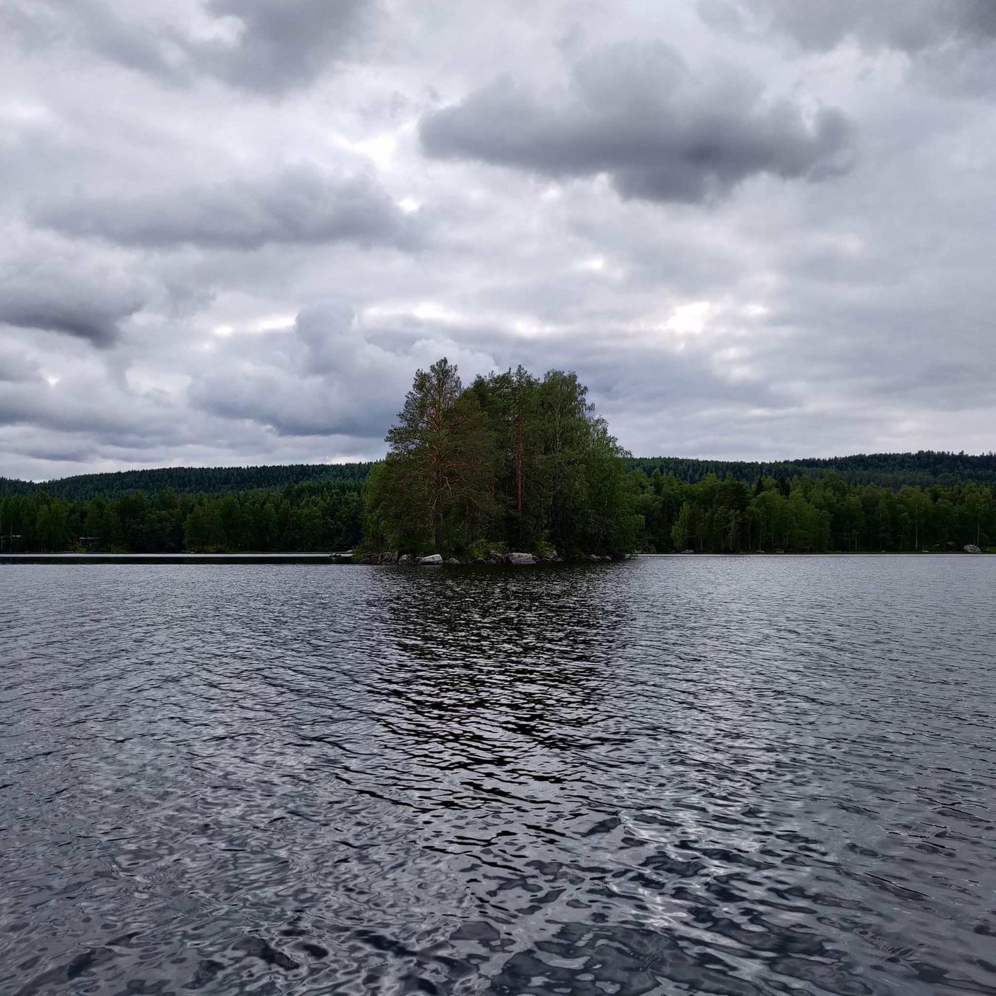
Hiking trails around Rikkavesi, a lake in Eastern Finland spanning the municipalities of Kaavi, Outokumpu, and Tuusniemi, offer diverse terrain for exploration. The region's landscape is shaped by glacial melting, resulting in varied topography, numerous islands, and a long, intricate shoreline. Hikers can expect a mix of picturesque lake and forest views, with opportunities to explore unique natural features and historical sites.
Best hiking trails around Rikkavesi
- The most popular hiking route is Marjala Loop, a 11.8 miles (18.9…
Last updated: July 4, 2026
8
hikers
8.63km
02:14
50m
50m
Moderate hike. Good fitness required. Easily-accessible paths. Suitable for all skill levels.
1
hikers
12.0km
03:09
90m
90m
Moderate hike. Good fitness required. Easily-accessible paths. Suitable for all skill levels.

Sign up for free
6
hikers
6.19km
01:38
60m
60m
Easy hike. Great for any fitness level. Easily-accessible paths. Suitable for all skill levels.
4.0
(3)
28
hikers
5.19km
01:20
30m
30m
Easy hike. Great for any fitness level. Easily-accessible paths. Suitable for all skill levels.
18.9km
04:54
100m
100m
Moderate hike. Good fitness required. Easily-accessible paths. Suitable for all skill levels.
Get access to more routes and recommendations from other explorers.
Sign up for free
Already have an account?
Our route recommendations are based on thousands of hikes, rides, and runs completed by other people on komoot.
Start today with a free account
Your next adventure awaits.
Login or Signup
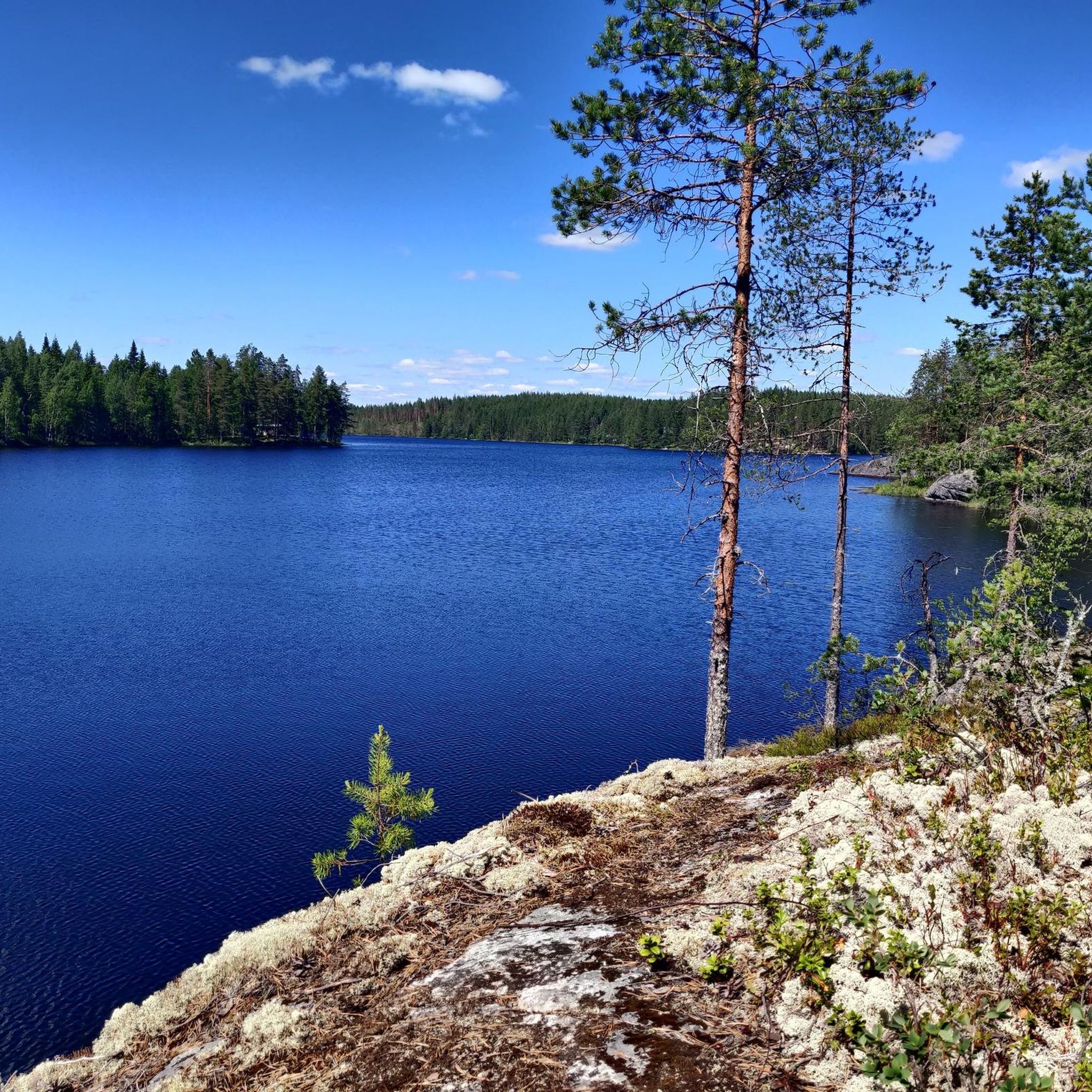
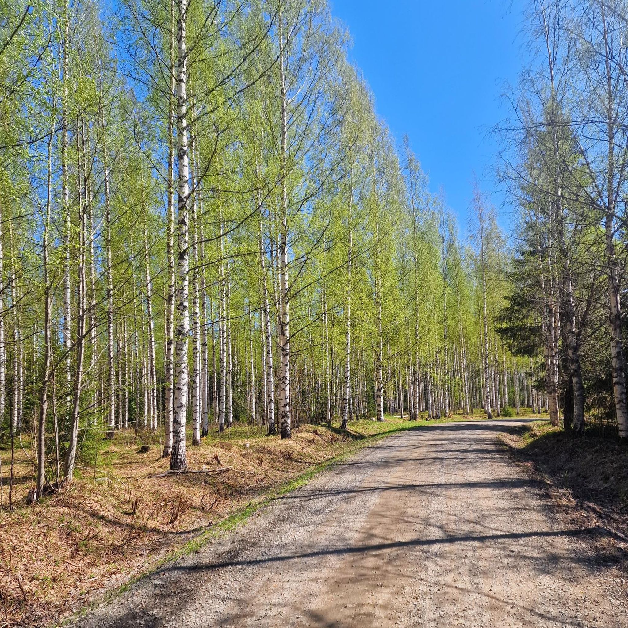
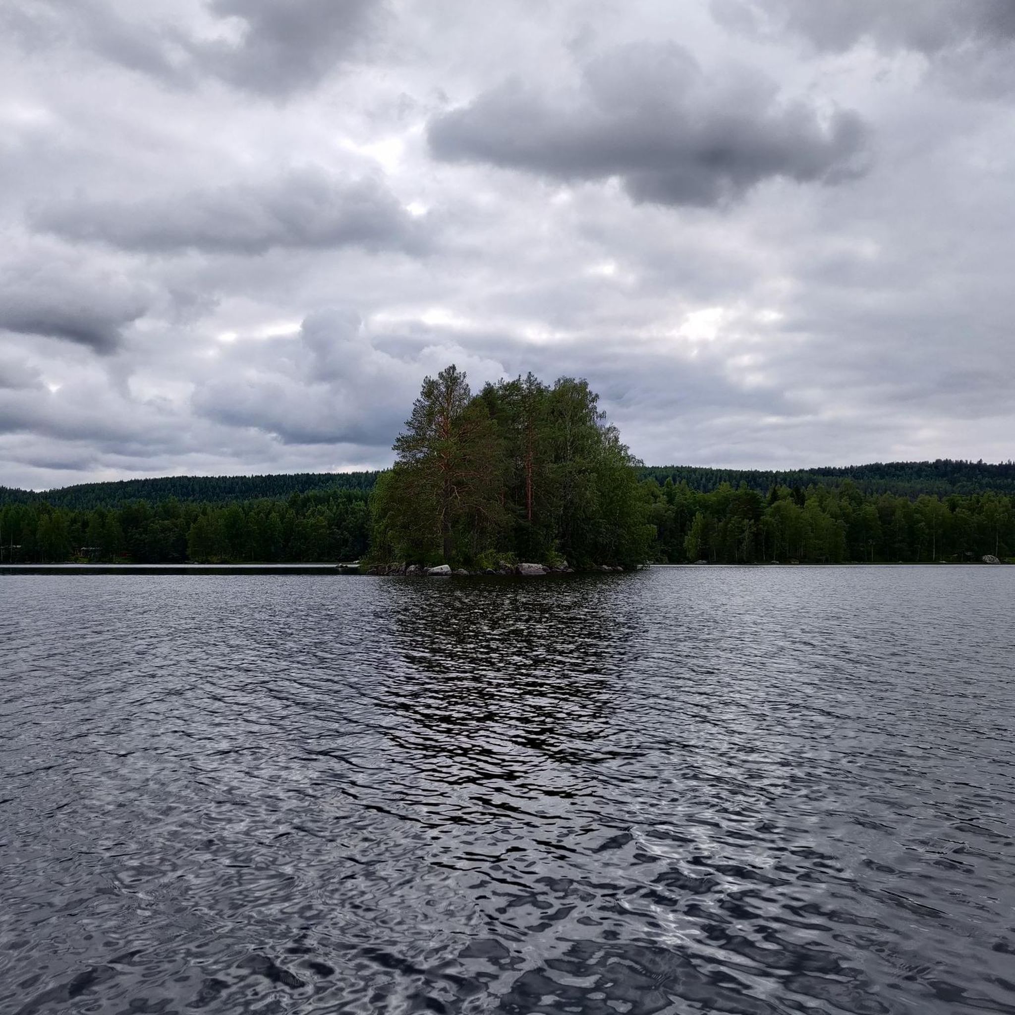
Tips from the Community

From here you have an impressive view of the water below.
0
0
Here, the forest meets the water. You can walk along the rocky, rugged shore path and enjoy the best of both worlds: views of the water and the peaceful forest.
0
0

Puntarikoski Hydroelectric Power Plant is a small river power station in North Karelia, harnessing the flow at Puntarikoski rapid to produce renewable electricity while blending into the surrounding forested landscape.
1
0
From this viewpoint you can get a spectacular view of the sea.
0
0


Access is free in summer, you can move freely on the entire site.
0
0

This single track goes under railway bridge along the lake Höytiäinen canal.
2
0
Frequently Asked Questions
What kind of terrain can I expect when hiking around Rikkavesi?
The Rikkavesi region, shaped by glacial melting, offers diverse terrain with picturesque lake and forest views. You'll find varied topography, numerous islands, and an intricate shoreline, providing a range of natural settings to explore.
How many hiking trails are available in the Rikkavesi area?
There are over 5 hiking trails documented in the Rikkavesi area on komoot, ranging from easy walks to moderate excursions. These routes are highly rated by the komoot community, with an average score of 4.2 stars.
Are there any historical sites or landmarks to see while hiking in Rikkavesi?
Yes, the region is rich in history. You can explore the Salpalinja Trail in Kontionpolut, which features World War II defensive structures integrated into forest paths. Additionally, the Ohtaansalmi strait holds historical importance with visible border markers from the Treaty of Teusina of 1595, defining the ancient border between Sweden-Finland and Russia.
Are there trails with unique natural features, like mires or gorges?
Absolutely. The Seinävuori Hiking Trails near the Kaavinkoski channel offer a popular 2.5-kilometer path winding around a valley, providing insights into a gorge. In Tuusniemi, the Silmäsuo Mire nature reserve features an easily accessible trail with foot-bridges guiding hikers through a unique pine mire ecosystem, where you can observe rare moor frogs and specialized vegetation.
Can I find trails that offer amenities like huts or campfire sites?
Yes, several trails provide convenient amenities. The Salpalinja Trail includes an accessible wilderness hut with firewood and an outdoor toilet. The Seinävuori trails are well-equipped with two lean-tos, campfire sites, a spacious barbecue hut, and a panoramic deck.
Are there family-friendly hiking options around Rikkavesi?
Many trails in the Rikkavesi area are suitable for families. For instance, the Noljakka Nature Trail is an easy option, perfect for a shorter outing with children. The easy difficulty of many routes makes them accessible for various age groups.
Are dogs allowed on the hiking trails in Rikkavesi?
Generally, dogs are welcome on hiking trails in Finland, but it's always best to keep them on a leash, especially in nature reserves or areas with wildlife. Always check local signage for specific rules regarding pets on individual trails.
What are the parking options for hikers in the Rikkavesi area?
Parking is typically available at the starting points of popular trails and nature reserves. For example, the Seinävuori trails and the Salpalinja Trail usually have designated parking areas. It's advisable to check specific trail information before your visit for precise parking locations.
When is the best time of year to go hiking in Rikkavesi?
The best time for hiking in Rikkavesi is generally from late spring to early autumn (May to September). During this period, the weather is milder, and the trails are free of snow. Summer offers long daylight hours, while autumn provides beautiful fall foliage. Some trails might be accessible for winter hiking with appropriate gear.
What is the difficulty level of hiking trails in Rikkavesi?
The Rikkavesi area offers a range of difficulty levels. Most trails are classified as easy, such as the Satamalahden lintutorni – Sataman uimaranta loop from Kontiolahti. There are also moderate options like the Marjala Loop, providing varied terrain for those seeking a bit more challenge.
Are there any circular hiking routes available in Rikkavesi?
Yes, there are several circular routes to enjoy. The Satamalahden lintutorni – Sataman uimaranta loop from Kontiolahti is a popular 6.2 km circular trail. Another option is the Vierevänniemen uimaranta loop from Kontiolahti, offering a 5.5 km loop through lakeside scenery.
What do other hikers enjoy most about the Rikkavesi trails?
The Rikkavesi area is highly rated by the komoot community, with an average score of 4.2 stars from 5 reviews. Hikers often praise the diverse terrain, the beautiful lake and forest views, and the well-maintained paths that offer a mix of natural beauty and historical interest.
Most popular routes around Rikkavesi

Get inspired with the komoot mobile app


Explore more
Browse the best Hikes in other regions.
