The best walks and hikes around Nykarleby
4.9
(10)
82
hikers
9
hikes
Hiking around Nykarleby offers access to a landscape characterized by low elevations, extensive forests, and numerous lakes, including Haarusjärvi. The terrain is generally flat, providing accessible paths suitable for various activity levels. This region features a network of trails that wind through natural environments, often skirting bodies of water. The area's geography supports routes that are typically well-suited for leisurely walks and moderate hikes.
Best hiking trails around Nykarleby
- The most popular hiking route is Reija Round, a 5.0…
Last updated: October 19, 2026
4.4
(7)
42
hikers
7.98km
02:01
20m
20m
Moderate hike. Good fitness required. Easily-accessible paths. Suitable for all skill levels.
5
hikers
4.63km
01:10
10m
10m
Hike the easy 2.9-mile Korpinkierros – Haarus Hiking Trails, featuring diverse forests, lakes, and unique floating turf rafts.

5.0
(1)
5
hikers
6.53km
01:40
20m
20m
Easy hike. Great for any fitness level. Easily-accessible paths. Suitable for all skill levels.
3
hikers
7.72km
01:58
20m
20m
Easy hike. Great for any fitness level. Easily-accessible paths. Suitable for all skill levels.
21.7km
05:33
70m
70m
Hard hike. Very good fitness required. Easily-accessible paths. Suitable for all skill levels.
Get access to more routes and recommendations from other explorers.
Already have an account?
Our route recommendations are based on thousands of hikes, rides, and runs completed by other people on komoot.
Tips from the Community

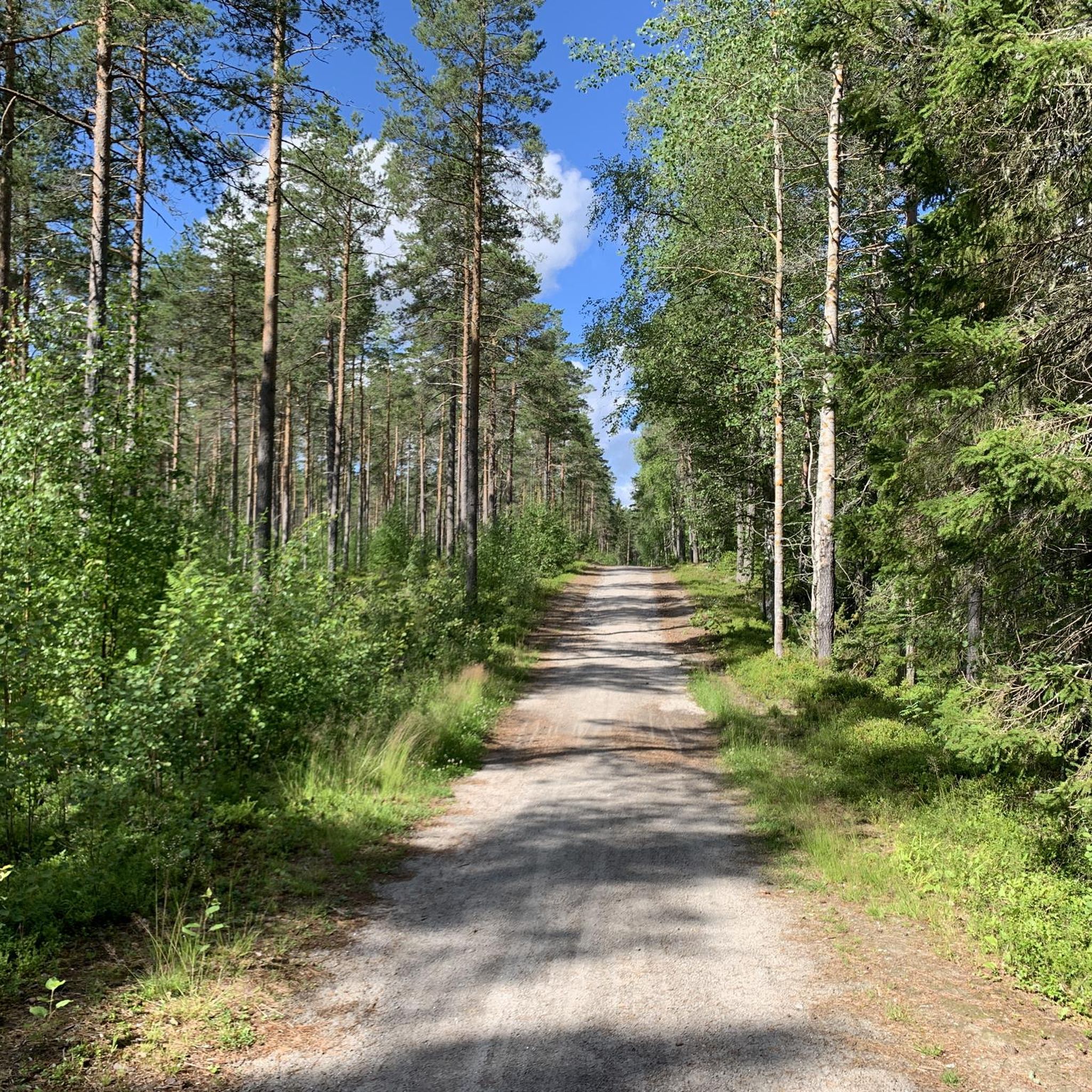
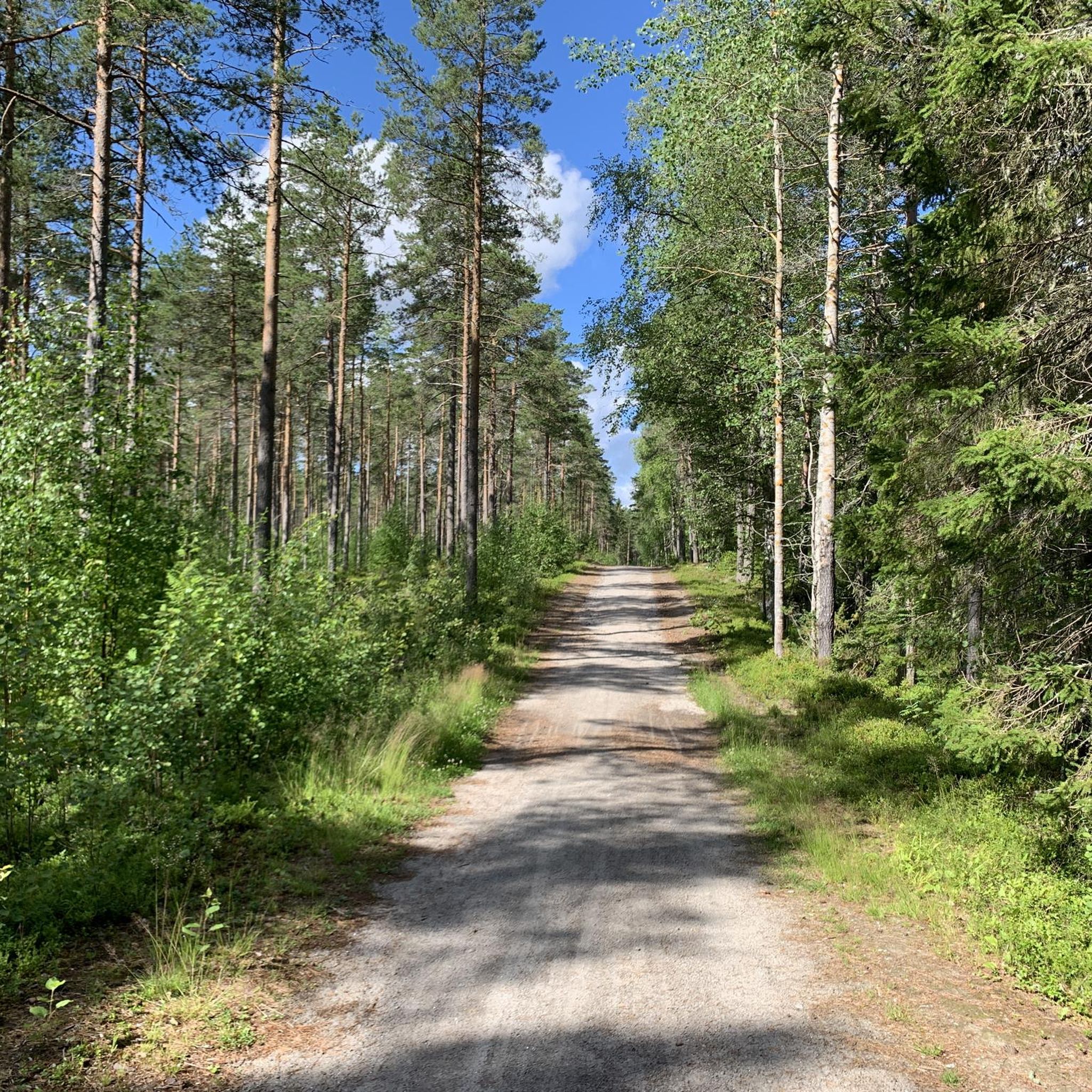
This gravel road is a beautiful hiking spot too. It brings you back from the Kalijärv lake to the road with the bus stop, so you can hike in this area without needing a car.
0
0
This is a traditional Scandinavian vindskydd (or laavu): a simple, three-walled wooden structure with an open front and a sloped roof to shield you from wind and rain. You can also enjoy a beautiful lake view from here.
0
0
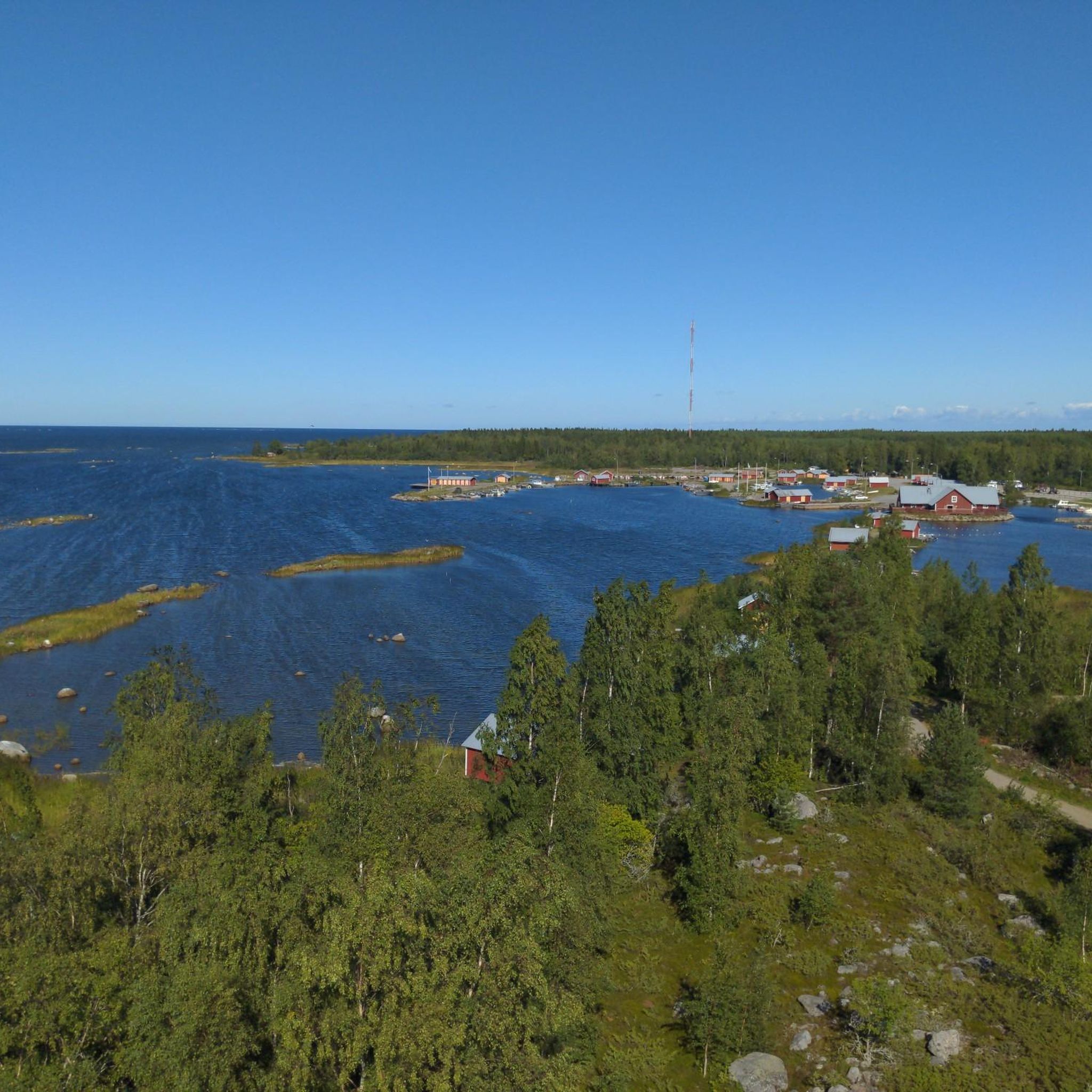
During your hike you can enjoy views of the coastal landscape on the Gulf of Bothnia, blending scenic sandy shores, rugged rocks, and quiet pine forests.
0
0
This huts sits in the quiet archipelago forest next to a bog and close to the water, making it a peaceful stop. Here you can take a break, have a rest and/or a snack.
0
0
This forest shelter on the shore near Pörkenäs is an open-air hut located right by the sea along the coastal trail. Here you can shelter from the wind or rain, or simply rest and have some food.
0
0

Beautiful barbecue hut with everything you need.
0
0
This trail's name comes from Kackurdunten, a rocky mound that rises along the path. Although this area is known for being incredibly flat, this small "dunt" (hill) offers a small climb and views of the surrounding countryside.
0
0

Beautiful round, over single trails, roots, rocks
0
0
Frequently Asked Questions
How many hiking trails are available around Nykarleby?
There are 6 hiking trails documented around Nykarleby on komoot. These routes offer a variety of experiences, primarily focusing on the region's flat terrain, forests, and lakes.
Are there easy hiking trails suitable for beginners or families in Nykarleby?
Yes, Nykarleby is well-suited for easy hikes. Out of the 6 available routes, 5 are classified as easy. A great option for families or those seeking a gentle walk is Raven's Loop, an easy 4.6 km path through woodlands with minimal elevation changes.
What kind of terrain can I expect on hikes in Nykarleby?
The terrain around Nykarleby is generally flat, characterized by extensive forests and numerous lakes. You'll primarily encounter forest paths and trails that often skirt bodies of water, offering a peaceful natural environment. The low elevations make most routes accessible.
Are there any circular hiking routes in Nykarleby?
Many of the trails in Nykarleby are circular, allowing you to start and end at the same point. For example, the Joutsenlammi loop from Haarusjärvi is an easy 4.6 km circular trail that takes you around the lake.
Can I bring my dog on the hiking trails in Nykarleby?
Generally, dogs are welcome on hiking trails in Finland, including those around Nykarleby, provided they are kept on a leash. Always ensure you clean up after your pet to maintain the natural environment for everyone.
What is the best time of year to go hiking in Nykarleby?
The best time for hiking in Nykarleby is typically from late spring through early autumn (May to September). During these months, the weather is milder, the trails are usually dry, and the natural scenery is at its most vibrant. Summer offers long daylight hours, while autumn brings beautiful fall colors.
Are there any challenging hikes in the Nykarleby area?
The hiking trails around Nykarleby are generally not considered challenging due to the region's flat topography. Most routes are easy, with only one classified as moderate. If you're looking for a slightly longer option, the Reija Round is a moderate 8 km trail offering varied forest scenery.
What do other hikers enjoy most about hiking in Nykarleby?
The area is highly rated by the komoot community, with an average score of 4.7 stars from 9 reviews. Reviewers often praise the quiet woodlands, the serene lake views, and the generally well-maintained, accessible paths that make for a relaxing outdoor experience.
Are there opportunities for winter hiking or snowshoeing in Nykarleby?
While the official hiking trails may not be specifically groomed for winter, the flat terrain around Nykarleby can be suitable for winter walks or snowshoeing when there's sufficient snow cover. Always check local conditions and be prepared for colder weather and shorter daylight hours.
Are there any specific viewpoints or scenic spots along the trails?
The trails in Nykarleby often provide scenic views of the numerous lakes, such as Haarusjärvi, and the surrounding forests. While there aren't dramatic mountain viewpoints due to the flat landscape, the beauty lies in the tranquil natural settings and reflective waters.
Is parking available at the trailheads in Nykarleby?
Parking availability varies by trailhead. Many local recreational areas and starting points for trails, such as those near Haarusjärvi or Pikkuhiekan matkaparkki, typically offer designated parking spaces. It's advisable to check specific route details or local signage upon arrival.
Are there any longer distance hiking options around Nykarleby?
The trails listed for Nykarleby are generally shorter, ranging from 3.7 km to 8 km. While there aren't multi-day long-distance routes within this specific guide, you can combine shorter loops or explore connecting paths to extend your hike, such as linking the Joutsenlammi – Porttilammi loop from Haarusjärvi with other nearby trails.
Most popular routes around Nykarleby
Most popular attractions around Nykarleby

Get inspired with the komoot mobile app


Explore more
Browse the best Hikes in other regions.
