The best walks and hikes around Kleblach-Lind
4.5
(9381)
47,681
hikers
20
hikes
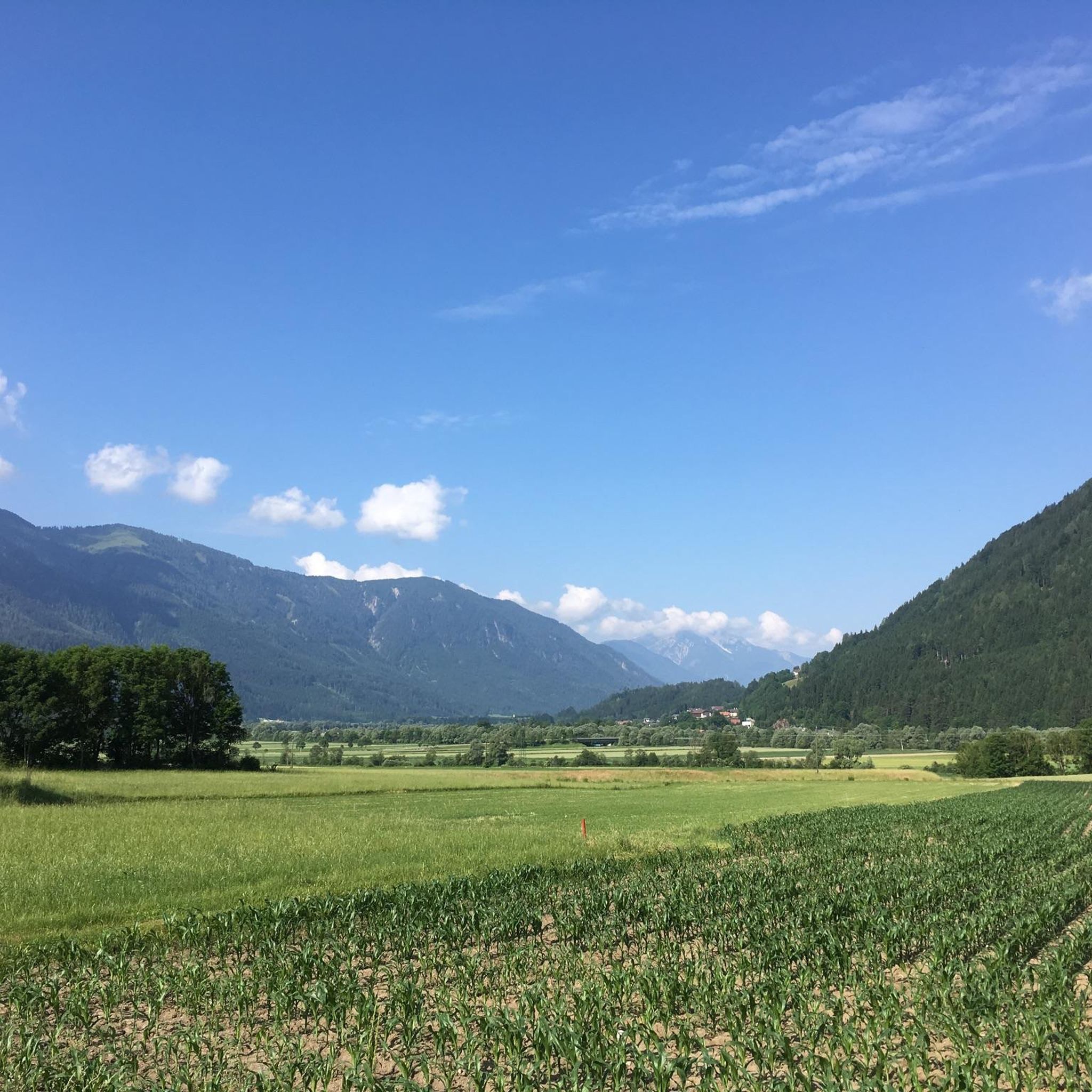
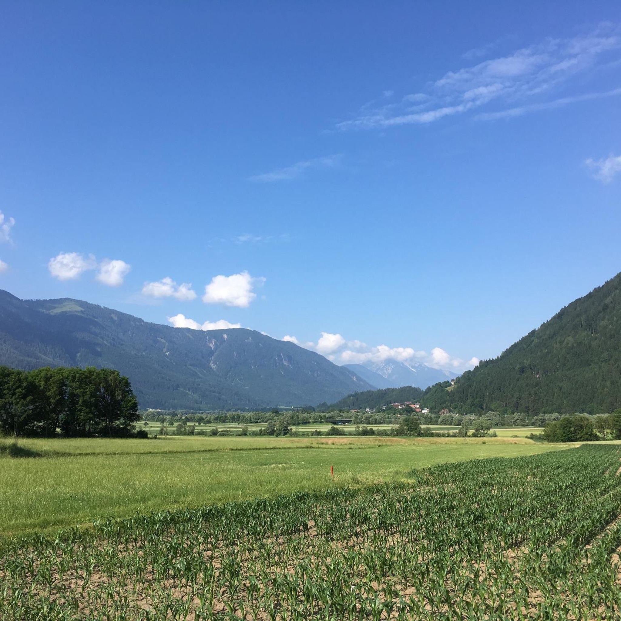
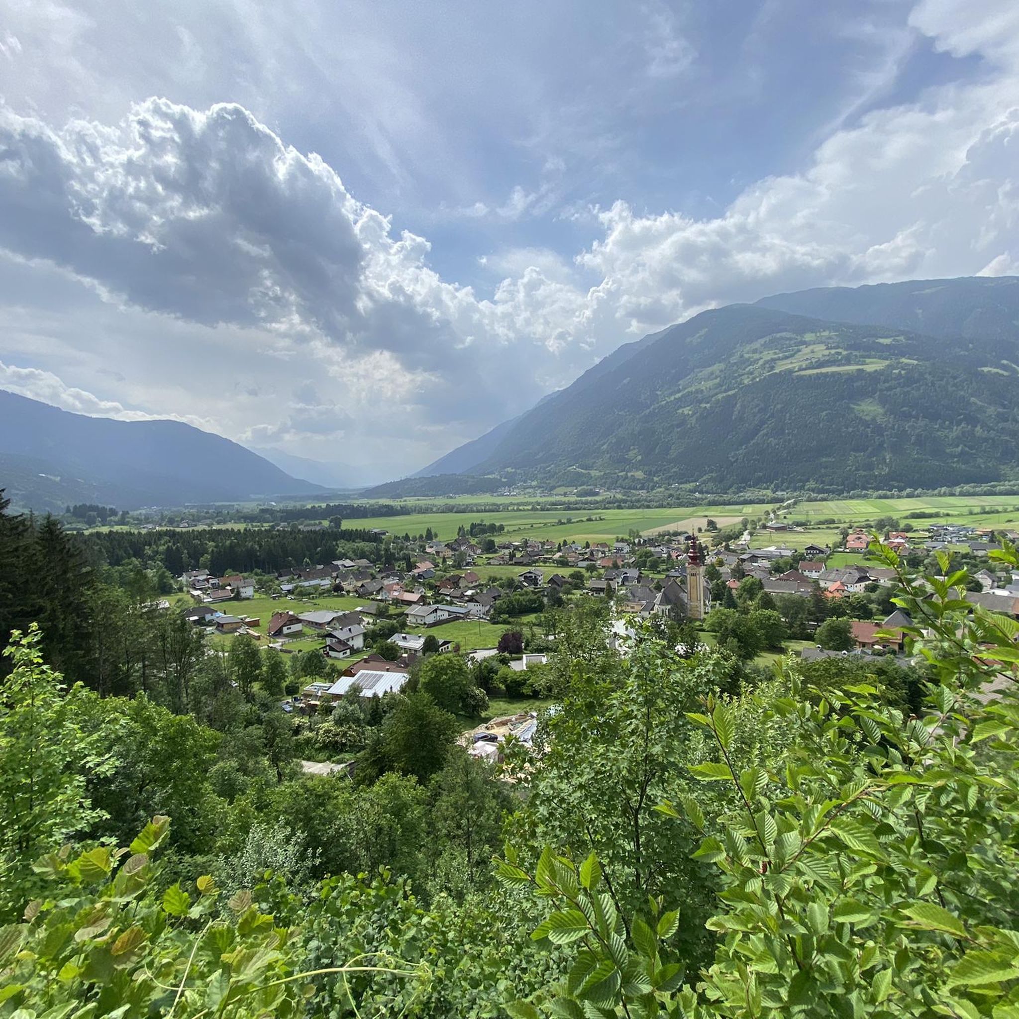
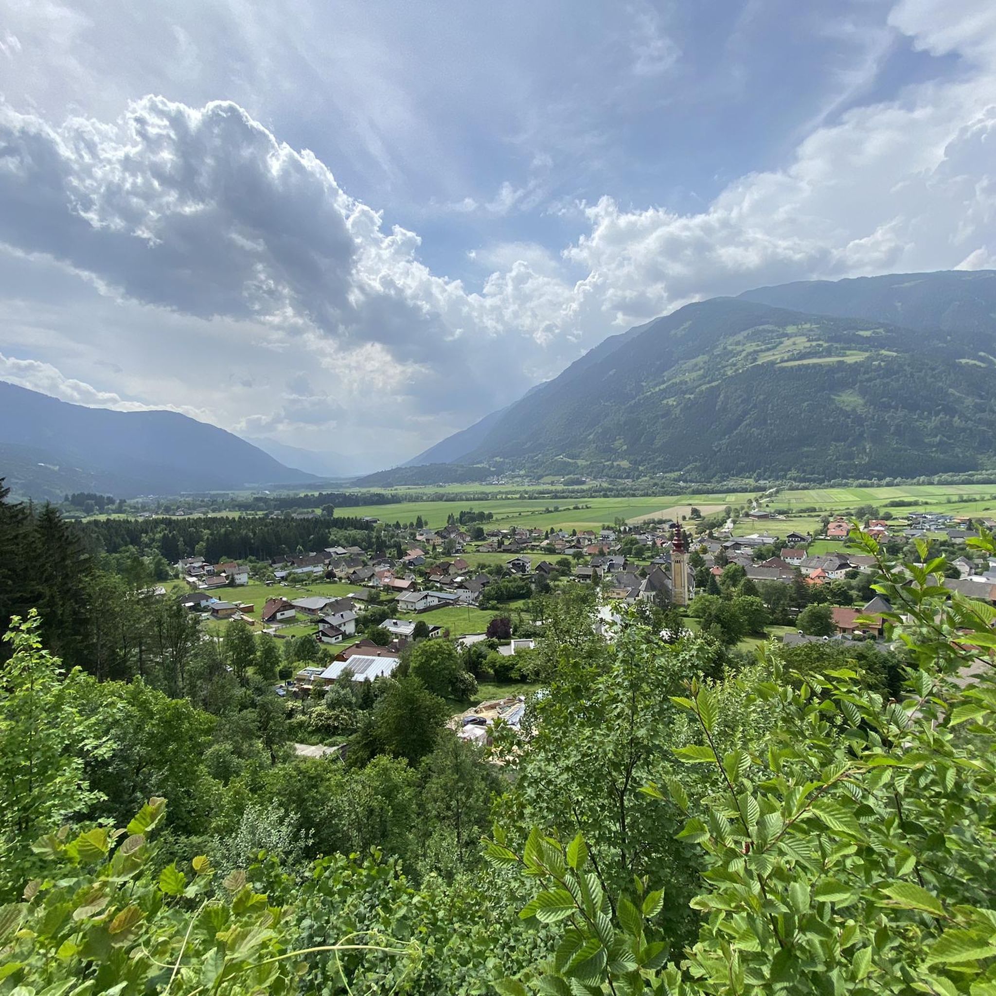
Hiking around Kleblach-Lind offers a diverse landscape at the foot of the Gailtal Alps, extending along the Drau River. The region features a mix of gentle hills and prominent mountain peaks, providing varied terrain for outdoor activities. The Drau Valley forms a significant natural feature, with the Kreuzeck Group and Goldeck Mountain offering higher elevation routes. This area is characterized by its river valleys, alpine foothills, and forested slopes.
Best hiking trails around Kleblach-Lind
- The most popular hiking route is…
Last updated: October 11, 2026
4.7
(197)
762
hikers
8.30km
03:06
440m
440m
Hard hike. Good fitness required. Sure-footedness, sturdy shoes and alpine experience required.
4.7
(165)
839
hikers
7.77km
02:30
350m
350m
Hard hike. Good fitness required. Sure-footedness, sturdy shoes and alpine experience required.

4.5
(71)
410
hikers
4.52km
01:45
280m
280m
Moderate hike. Great for any fitness level. Mostly accessible paths. Sure-footedness required.
4.8
(56)
280
hikers
Hard hike. Good fitness required. Sure-footedness, sturdy shoes and alpine experience required.
4.7
(21)
107
hikers
Hard hike. Good fitness required. Sure-footedness, sturdy shoes and alpine experience required.
Get access to more routes and recommendations from other explorers.
Already have an account?
Our route recommendations are based on thousands of hikes, rides, and runs completed by other people on komoot.
Start today with a free account
Your next adventure awaits.

Tips from the Community

The hut is permanently closed, as the words have found no successor!!
0
0

Goldeckhütte is open and offers, among other things, a good Kaiserschmarrn and a great view away from the "big huts"!
0
0

Reservoir right next to the hut.
1
0
Delicious food with a great view.
1
0
Hut at Goldeck, delicious food and very friendly staff.
1
0

...a cabin with a great view and good food! 😋
4
0
There are plenty of benches and loungers by the reservoir! Plus, there's a great restaurant! 😋
4
0
Frequently Asked Questions
How many hiking trails are available around Kleblach-Lind?
Kleblach-Lind offers a comprehensive network of over 10 hiking trails. These routes cater to various skill levels, including easy walks, moderate excursions, and challenging mountain ascents, ensuring there's something for every hiker.
Are there any easy hiking trails suitable for beginners or families?
Yes, Kleblach-Lind has several easy trails. For instance, the Seehütte – Goldeck cable car mountain station loop from Goldeck is an easy 3.0 km route that takes about an hour to complete. Another accessible option is the Goldeck cable car mountain station – Seehütte loop from Goldeck, a 4.2 km path that also offers a gentle experience.
What kind of terrain can I expect on hikes in Kleblach-Lind?
The terrain around Kleblach-Lind is highly varied. You'll find gentle paths along the Drau River in the valley, rolling hills, and more rugged, steep ascents in the Gailtal Alps and Kreuzeck Group. Many routes traverse dense forests, open meadows, and offer panoramic views from mountain peaks like Goldeck, Latschur, and Stagor.
Are there any circular hiking routes in the area?
Yes, many trails around Kleblach-Lind are designed as loops, allowing you to start and end at the same point. Examples include the challenging Goldeck Summit Cross – Ridge Trail Between Goldeck and Martenock loop from Goldeck and the moderate Radlberger Alm – Stagor Summit 360° View loop from Radlberger Alm.
What are some notable natural features or landmarks to see while hiking?
The region is rich in natural beauty. You can explore the scenic Drau Valley, witness the dramatic backdrop of the Gailtal Alps, or ascend to peaks in the Kreuzeck Group. Nearby, you can visit the Barbarossa Gorge Waterfall or the impressive Weißenbach Gorge. The area also features beautiful lakes like Lake Millstatt, offering refreshing views and opportunities for a dip.
Are there any hikes with particularly good viewpoints?
Absolutely. Hikes to summits like Latschur, Stagor, and the Goldeck Summit Cross are renowned for their overwhelming panoramas. The Goldeck Alm – Goldeck Summit Cross loop from Goldeck, for instance, offers extensive views of the surrounding mountains as you ascend towards the summit cross. You can also find specific viewpoints like View of Seeboden and Lake Millstatt.
What do other hikers say about the trails in Kleblach-Lind?
The hiking trails in Kleblach-Lind are highly regarded by the komoot community, holding an average rating of 4.6 stars from over 8,500 reviews. Hikers frequently praise the diverse landscapes, from river valleys to mountain peaks, and the well-maintained paths that cater to all experience levels.
Is Kleblach-Lind a good destination for challenging mountain hikes?
Yes, for experienced hikers seeking a challenge, Kleblach-Lind provides access to demanding mountain routes. The Kreuzeck Group, for example, offers trails to peaks like Latschur and Stagor, which require good fitness, sure-footedness, sturdy shoes, and alpine experience. A multi-day crossing of the Kreuzeck group is also a recommended mountain experience for those looking for an extended adventure.
Can I find places to eat or stay along the hiking routes?
While specific cafes or pubs directly on every trail are not guaranteed, some mountain areas, like Goldeck, feature huts such as the Goldeckhütte. These huts often provide food and drinks, along with great views. The region also has lakeside inns, particularly around areas like Millstätter See, where you can find refreshment after your hike.
What is the best time of year to go hiking in Kleblach-Lind?
Kleblach-Lind is a wonderful hiking area in every season. Spring and autumn offer pleasant temperatures and vibrant natural colors, while summer is ideal for higher alpine routes and enjoying refreshing dips in nearby lakes. Even winter provides opportunities for scenic hikes, especially in areas like Goldeck, which is described as a great hiking area year-round.
Are there any trails that feature waterfalls or gorges?
Yes, the region around Kleblach-Lind includes several impressive natural water features. You can explore the Barbarossa Gorge Waterfall or venture into the Water Adventure Trail in the Gnoppnitz Gorge for a unique experience.
Are there any long-distance hiking trails accessible from Kleblach-Lind?
Yes, the area is part of longer trail networks. The "Drauradweg" is a well-developed cycling and hiking trail that allows you to explore the Drau Valley. Additionally, the "Goldeck – Weissensee – Ruperti" long-distance hiking trail passes through the region, offering extended trekking opportunities.
Most popular routes around Kleblach-Lind
Most popular attractions around Kleblach-Lind

Get inspired with the komoot mobile app


Explore more
Browse the best Hikes in other regions.
