The best gravel rides around Saint-Méloir-Des-Bois
4.3
(25)
93
riders
17
rides
Gravel biking around Saint-Méloir-Des-Bois offers diverse landscapes characterized by its "bocage breton" hedgerow country and numerous wooded sections. The region features a gently undulating topography with altitudes ranging from 50 meters to 122 meters, providing varied terrain for gravel routes. Waterways such as the Vau Dehy and several small ponds, alongside larger lakes like Lac de l'Arguenon, define many of the scenic paths. This blend of rural roads, forest trails, and lakeside routes makes the area suitable for varied gravel…
Last updated: July 17, 2026
4.8
(4)
29
riders
63.7km
03:21
410m
410m
Moderate gravel ride. Good fitness required. Mostly paved surfaces. Suitable for all skill levels.
5
riders
23.6km
01:45
150m
150m
Easy gravel ride. Great for any fitness level. Mostly paved surfaces. Suitable for all skill levels.

Sign up for free
4.4
(8)
10
riders
30.3km
02:04
200m
200m
Hard gravel ride. Good fitness required. You may need to push your bike for some segments of this route.
3.0
(1)
7
riders
27.1km
02:12
380m
380m
Moderate gravel ride. Good fitness required. Mostly paved surfaces. Suitable for all skill levels.
5
riders
Easy gravel ride. Great for any fitness level. Mostly paved surfaces. Suitable for all skill levels.
Get access to more routes and recommendations from other explorers.
Sign up for free
Already have an account?
Our route recommendations are based on thousands of hikes, rides, and runs completed by other people on komoot.
Start today with a free account
Your next adventure awaits.
Login or Signup


Tips from the Community

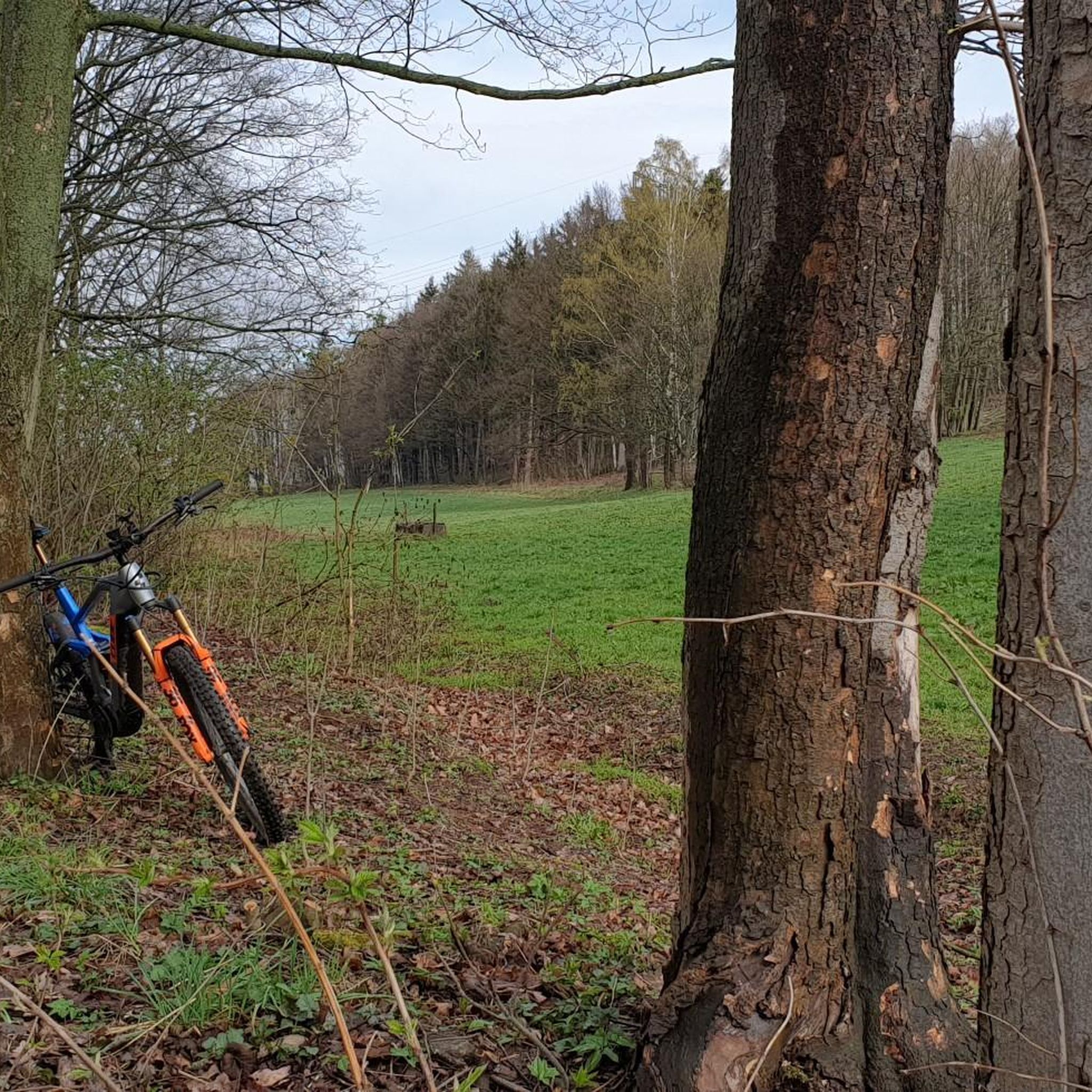
Done on a gravel bike, but the route is more suitable for mountain biking.
0
0

It's a very nice conversion, the place is very pleasant
0
0

well-shaded greenway without difficulty
0
0

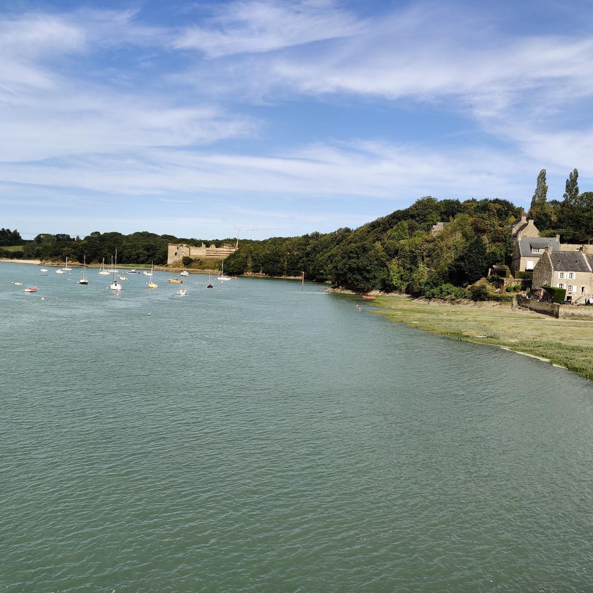
Beautiful panoramic view over two bays and several islands off the coast.
0
0

The greenway between Dinan and Dinard is an excellent option for a bike ride or walk, offering varied landscapes and a route accessible to all. Here is a summary of reviews and practical information: Highlights: * A car-free and safe route: The greenway is built on a former railway line, making it a flat, traffic-free route. Tunnels and footbridges allow it to avoid roads, making it ideal for families with children. * Varied landscapes: You'll pass through coastal landscapes, marshes, woods, and rapeseed fields. You'll also follow the Rance River and admire beautiful viewpoints. * A rich heritage: The route is dotted with several points of interest, such as the old train stations of Trébéfour and Pleslin-Plouer, the Grand'Cour manor in Taden, and the Champ des Roches megalithic alignment. * Arrival on the Emerald Coast: The greenway ends at the entrance to Dinard, allowing you to discover this Belle Époque-style seaside resort, its listed villas, and its Clair-de-Lune promenade. Practical information: * Distance: Approximately 23 km. * Difficulty: Easy. * Surface: Stabilized, good quality for bicycles, but not suitable for rollerblades. * Bike rental: Available in Dinan and Dinard. * Connections: The greenway connects to the Ille-et-Rance Canal, allowing you to extend the ride to Rennes or Saint-Malo. It is also possible to take a water bus between Dinard and Saint-Malo with your bike. Points of caution: * Some sections may be narrow, so it is important to remain vigilant and pass each other with caution. * Signage may be discontinuous in some places, particularly in Saint-Malo and Dinard. *There are few shops and restaurants along the route, so it's advisable to bring water and snacks. In summary, the Dinan-Dinard greenway is a beautiful walk, perfect for a relaxing day exploring Brittany.
0
0
completely flat, straight, in the shade, and sheltered from cars. Brilliant
1
0


a beach whose color of sand and sea literally jumped out at us and captivated us - if it weren't for the cold breeze from the sea.
0
0
Frequently Asked Questions
How many gravel bike trails are available around Saint-Méloir-Des-Bois?
There are over 15 gravel biking routes around Saint-Méloir-Des-Bois, offering a variety of experiences. These include 4 easy routes, 10 moderate routes, and 2 difficult routes, catering to different skill levels.
What kind of terrain can I expect on gravel bike trails in this region?
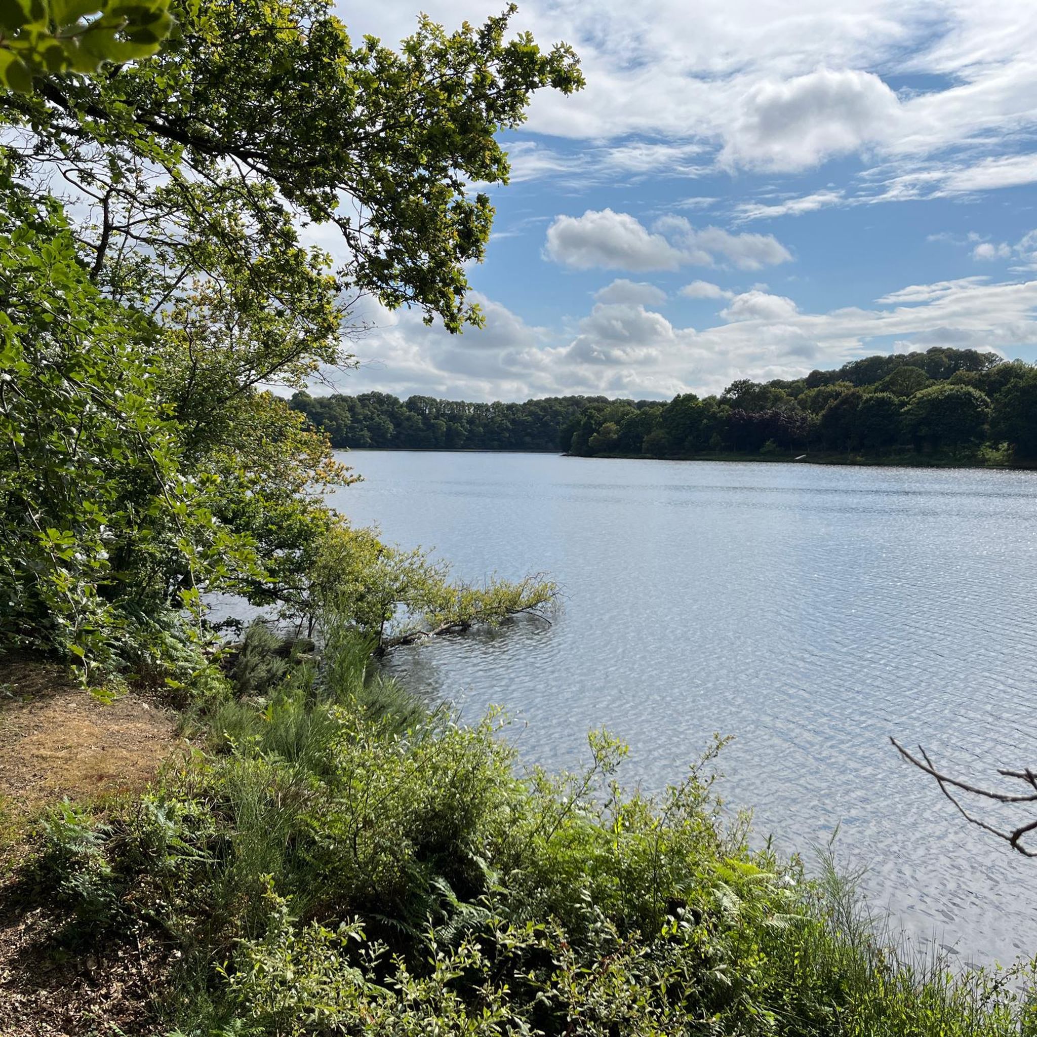
The region around Saint-Méloir-Des-Bois is characterized by its 'bocage breton' hedgerow country and numerous wooded sections. You'll find a gently undulating topography with altitudes ranging from 50m to 122m, providing varied terrain. Many scenic paths follow waterways like the Vau Dehy, small ponds, and larger lakes such as Lac de l'Arguenon, offering a mix of rural roads, forest trails, and lakeside routes.
Are there any family-friendly gravel biking routes near Saint-Méloir-Des-Bois?
Yes, there are several easy routes suitable for families. For instance, the Château de la Hunaudaye – Étang de la Nauvinais loop from Landébia is an easy 23.6 km route. Another option is the Étang de la Nauvinais – Étang de Pleven, Plédéliac loop from Château de la Hunaudaye, which is 21.3 km and also rated easy.
What are some scenic viewpoints or natural attractions along the gravel trails?
Many routes offer beautiful views of the Breton countryside and its waterways. You can explore areas around Lake Jugon, Étang de la Nauvinais, and Lac de l'Arguenon. The region's greenways and véloroutes often follow picturesque canals or disused railway lines, providing pleasant scenery.
Are there any circular gravel bike routes available?
Yes, many of the routes are designed as loops. For example, the Lake Jugon – Floating bridge loop from Jugon-les-Lacs is a moderate 27.1 km circular route. Another option is the Church of Plédéliac – Étang de la Nauvinais loop from Château de la Hunaudaye, a moderate 44.1 km loop.
What do other gravel bikers enjoy most about gravel biking in Saint-Méloir-Des-Bois?
The area is highly rated by the komoot community, with an average score of 4.3 stars from over 20 reviews. Reviewers often praise the diverse landscapes, from hedgerow country to wooded sections and lakeside paths, as well as the variety of routes suitable for different abilities.
Can I find challenging gravel bike trails in the area?
Yes, there are challenging options for experienced gravel bikers. The Pointe du Chevet – Ebihens Island loop from Plancoët is a difficult 30.3 km route that offers a more demanding experience.
What are some historical or cultural points of interest I can visit while gravel biking?
While gravel biking, you can explore the rural landscape around the historic Château de la Hunaudaye. The village of Saint-Méloir-Des-Bois itself is known for its authentic rural charm and architectural heritage. You might also encounter highlights like the Temple of Mars Ruins.
What is the best season for gravel biking around Saint-Méloir-Des-Bois?
Brittany generally offers pleasant cycling conditions from spring through autumn. The varied terrain, including wooded sections, provides shade in warmer months, while the 'bocage breton' offers shelter. Always check local weather conditions before heading out, as coastal areas can be more exposed.
Are there options for longer gravel bike tours?
While many routes are shorter loops, the region connects to wider cycling networks. The broader Brittany region boasts over 2,000 km of cycling routes, including greenways and véloroutes, which can be linked for longer adventures. These often utilize former railway lines or canal towpaths, ideal for gravel bikes.
Is public transport available to access the trails, and can I bring my bike?
The region's cycling networks are enhanced by the accessibility of combining cycling with other transport options. Trains in Brittany often allow bikes, which can help you reach different starting points for longer tours or connect to wider networks. For specific local public transport options to trailheads, it's best to check regional transport websites.
Where can I find parking for gravel bike trails near Saint-Méloir-Des-Bois?
Many trailheads in rural areas and near popular attractions like lakes or châteaux typically offer parking facilities. For specific routes, it's advisable to check the route details on komoot, as starting points often indicate available parking. Villages like Saint-Méloir-Des-Bois also have public parking areas.
Most popular routes around Saint-Méloir-Des-Bois
Most popular attractions around Saint-Méloir-Des-Bois

Get inspired with the komoot mobile app


Explore more
Browse the best Gravel rides in other regions.
