The best running trails around Neuvic-Entier
4.7
(14)
440
runners
58
runs
Jogging around Neuvic-Entier offers diverse landscapes in the Haute-Vienne department of Nouvelle-Aquitaine, France. The region features a plateau with altitudes ranging from 360 to 560 meters, bordered by the valleys of the Vienne, Combade, and Courtioux. Extensive woodlands, particularly along these valleys, provide shaded paths and a serene environment for running. Nearby, Mont Gargan rises to 730 meters, offering panoramic views of the surrounding Limousin peaks.
Best jogging routes around Neuvic-Entier
- The most popular jogging route is Étang de Farsac…
Last updated: July 4, 2026
25
runners
36.1km
04:44
1,030m
1,040m
Hard run. Very good fitness required. Mostly paved surfaces. Suitable for all skill levels.
22
runners
8.18km
00:56
160m
160m
Moderate run. Good fitness required. Mostly paved surfaces. Suitable for all skill levels.

Sign up for free
5.0
(1)
16
runners
10.0km
01:14
230m
230m
Moderate run. Good fitness required. Mostly paved surfaces. Suitable for all skill levels.
4.0
(1)
10
runners
6.42km
00:50
190m
190m
Moderate run. Good fitness required. Mostly paved surfaces. Suitable for all skill levels.
10
runners
9.97km
01:07
170m
170m
Moderate run. Good fitness required. Mostly paved surfaces. Suitable for all skill levels.
Get access to more routes and recommendations from other explorers.
Sign up for free
Already have an account?
Our route recommendations are based on thousands of hikes, rides, and runs completed by other people on komoot.
Start today with a free account
Your next adventure awaits.
Login or Signup
Tips from the Community

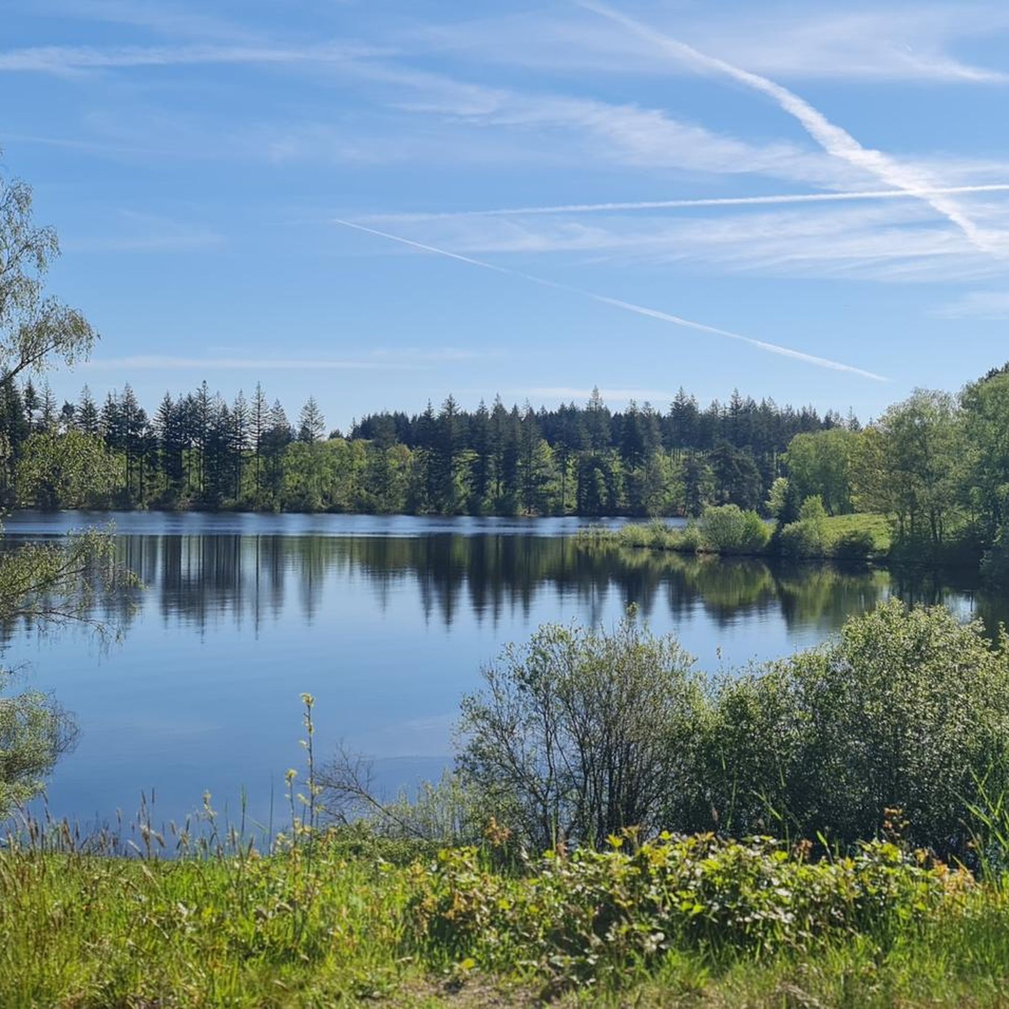
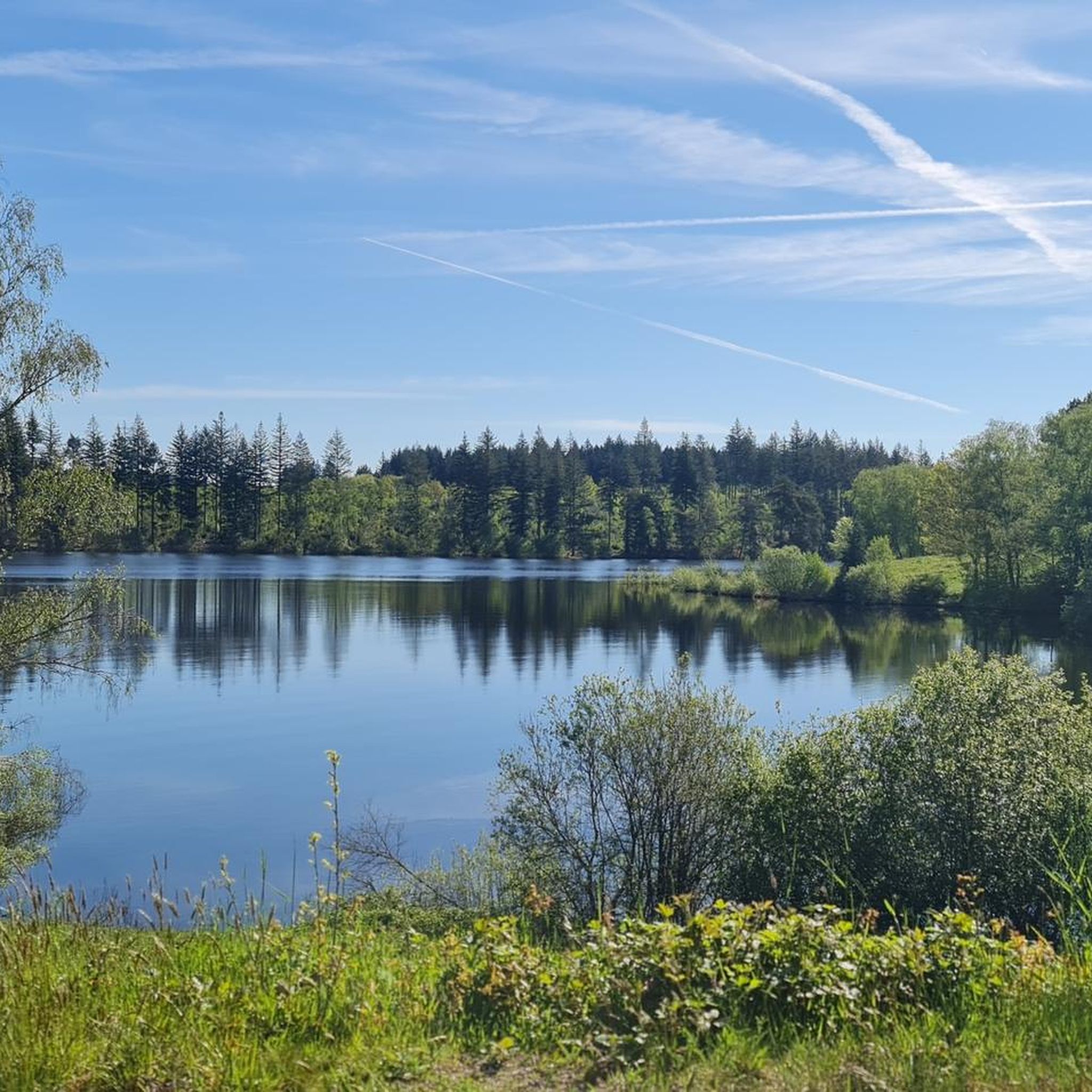
Nice place with picnic tables and beautiful view.
0
0

Pedestrian and cycle bridge of Eymoutiers on the Vienne. It connects the former Ursuline convent to the Pré Lanaut park.
1
0

Shopping, refueling, stopping off, ATM... everything is there. Slightly winding place as the last place before the Lac de Vassiviere with an infrastructure worth mentioning. Quiet park on the banks of the Viennese. Coming from Nedde directly behind the bridge, a "showroom" worth seeing with the restored bicycle of the tour winner from 1903 before and after the restoration.
0
0
Frequently Asked Questions
How many running routes are available in Neuvic-Entier?
Neuvic-Entier offers a wide selection of running routes, with over 50 trails to explore. These routes cater to various fitness levels, ensuring there's something for everyone.
What kind of terrain can I expect on the jogging trails in Neuvic-Entier?
The region features diverse terrain, from a plateau with varying altitudes (360 to 560 meters) to valleys bordered by the Vienne, Combade, and Courtioux rivers. You'll find extensive woodlands providing shaded paths, as well as numerous streams and 'rigoles' (small channels) throughout the prairies. This mix offers both leisurely runs and more challenging ascents.
Are there easy running routes suitable for beginners in Neuvic-Entier?
Yes, Neuvic-Entier has several easy running options. There are 3 routes specifically categorized as easy, perfect for those new to running or looking for a relaxed jog.
What do other runners say about the trails in Neuvic-Entier?
The running routes in Neuvic-Entier are highly rated by the komoot community, with an average score of 4.7 stars from over 10 reviews. More than 400 runners have used komoot to explore the varied terrain, often praising the quiet woodlands and well-marked paths.
Are there any challenging running routes for experienced runners?
Absolutely. For those seeking a challenge, Neuvic-Entier offers 14 difficult running routes. One such option is the Canal EDF – Étang de Farsac loop from La Bergerie, a 11.9 km path with significant elevation changes.
Can I find running routes that pass by water features?
Many routes in Neuvic-Entier incorporate water features. For instance, the Étang de Farsac – Canal EDF loop from Puy Grenier is a popular moderate route that explores the area's water features and wooded sections, including the Étang de Farsac and the Canal EDF.
What historical or natural landmarks can I see along the running trails?
While running, you can encounter several interesting landmarks. The nearby Mont Gargan offers magnificent panoramic views and the charming remains of the Notre-Dame du Bon Secours chapel. Some local trails, like 'La pierre de Neuvic', pass by a 13th-century church and a 19th-century castle, blending natural beauty with cultural heritage. You might also spot the Bussy-Varache Canal.
Are there any running routes with scenic viewpoints?
Yes, the region's varied topography provides opportunities for scenic views. Mont Gargan, a prominent feature nearby, rises to 730 meters and offers magnificent panoramic views of the surrounding Limousin peaks. While not directly on all routes, some trails in the vicinity will offer glimpses or lead towards such elevated points.
Are there circular running routes in Neuvic-Entier?
Many of the running routes in Neuvic-Entier are designed as loops, allowing you to start and finish in the same location. An example is the Running loop from Bussy Varache, a 6.4 km trail through the local countryside.
Is parking available near the trailheads?
While specific parking details for every trailhead are not listed, Neuvic-Entier is generally well-equipped for outdoor activities. It's advisable to check local signage or specific route descriptions on komoot for designated parking areas near your chosen running trail.
What is the best time of year to go running in Neuvic-Entier?
Neuvic-Entier's extensive woodlands provide shaded paths, making it pleasant for running during warmer months. The diverse landscapes are beautiful year-round, but spring and autumn offer particularly comfortable temperatures and vibrant scenery for outdoor activities.
Are there any long-distance running options in the area?
Yes, for those looking for longer runs, there are several options. The Running loop from Châteauneuf-la-Forêt, for example, is a difficult 15.7 km trail, offering a substantial distance for an extended run.
Most popular attractions around Neuvic-Entier

Get inspired with the komoot mobile app


Explore more
Browse the best Running Trails & Routes in other regions.
