The best running trails around Barr Of Bolusty More
32
runners
5
runs
Jogging routes around Barr Of Bolusty More traverse a landscape characterized by varied terrain, including areas with lush forests and gradual inclines. The region offers natural features such as loughs and potential waterfall sightings, providing diverse environments for running. While specific details for Barr Of Bolusty More are limited, the broader "Barr" areas are known for their established trail networks and scenic beauty, often featuring a mix of natural and sometimes rugged landscapes. This makes for engaging running experiences across…
Last updated: November 13, 2026
13
runners
Moderate run. Good fitness required. Mostly paved surfaces.
6
runners
6.73km
00:52
160m
160m
Moderate run. Good fitness required. Mostly paved surfaces.

4
runners
10.6km
01:06
70m
70m
Moderate run. Good fitness required. Mostly paved surfaces.
4
runners
4.97km
00:31
20m
20m
Easy run. Mostly paved surfaces.
2
runners
7.50km
00:47
50m
50m
Moderate run. Good fitness required. Mostly paved surfaces.
Our route recommendations are based on thousands of hikes, rides, and runs completed by other people on komoot.
Start today with a free account
Your next adventure awaits.


Tips from the Community

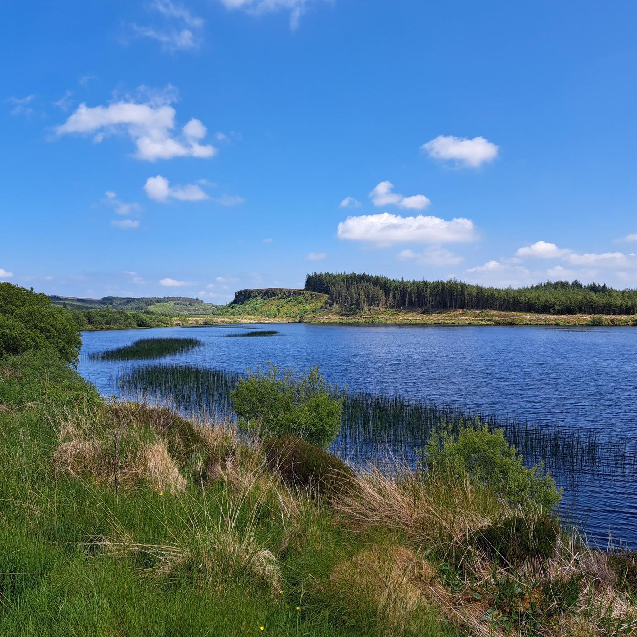
Fast rolling forestry gravel roads that cut through this wild landscape, passing over Lough Nabrickboy with views across to surrounding deep-blue loughs.
1
0

Frequently Asked Questions
How many running routes are available around Barr Of Bolusty More?
Based on komoot data, there are 5 dedicated running routes in the Barr Of Bolusty More area. These routes offer a mix of easy and moderate challenges, with one route also rated as difficult.
What kind of terrain can I expect on the running trails in Barr Of Bolusty More?
The running routes around Barr Of Bolusty More feature varied terrain, including lough-side paths and forest trails. You'll encounter a blend of natural and sometimes rugged landscapes, offering engaging running experiences across different surfaces.
Are there any easy jogging routes suitable for beginners or a relaxed run?
Yes, for an easier run, consider the Running loop from Derrygonnelly. This route is 4.9 km (3.1 miles) long with minimal elevation gain, making it ideal for beginners or those looking for a less strenuous jog.
Can I find any routes with waterfalls in the Barr Of Bolusty More area?
Absolutely! The Blackslee Waterfall loop from Whiterocks is a moderate 6.7 km (4.2 miles) path that features a beautiful waterfall, providing a scenic and varied running experience. Additionally, the Roogagh Waterfall is a notable natural monument nearby.
Are there any circular running routes around Barr Of Bolusty More?
Many of the routes in the area are circular, offering convenient starting and ending points. Examples include the popular View of Lough Nabrickboy – Lough Nabrickboy loop from Tullynasrahan and the Tonnagh Lough loop from Derrygonnelly.
What natural attractions or landmarks can I see while jogging in this region?
The area offers several natural attractions. You can enjoy views of Lough Nabrickboy on its namesake loop, or explore routes around Tonnagh Lough. Other nearby natural highlights include the View of Lough Erne from Cliffs of Magho and the unique Old Man's Head.
Are there any historical sites or points of interest near the running trails?
Yes, beyond natural beauty, the region has historical points of interest. You might consider visiting the Janus Stones of Caldragh Cemetery, the Castle Caldwell Ruins, or the Tully Castle Ruins, which are all accessible nearby.
What do other runners enjoy most about the jogging routes in Barr Of Bolusty More?
The komoot community frequently praises the varied terrain, which includes lough-side paths and forest trails, providing diverse environments for running. The scenic beauty, often featuring loughs and waterfalls, is also a highlight for many, with over 30 runners having explored these routes.
Are there any routes that offer views of the loughs in the area?
Yes, several routes provide beautiful lough views. The View of Lough Nabrickboy – Lough Nabrickboy loop from Tullynasrahan offers direct views of Lough Nabrickboy, and the Tonnagh Lough loop from Derrygonnelly takes you through areas around Tonnagh Lough.
What is the typical duration for completing a running route in Barr Of Bolusty More?
The duration varies depending on the route and your pace. For example, the View of Lough Nabrickboy – Lough Nabrickboy loop from Tullynasrahan typically takes about 1 hour, while the longer Tonnagh Lough loop from Derrygonnelly is often completed in about 1 hour 5 minutes.
Are there any challenging running routes for experienced runners?
While most routes are moderate, the region's landscape, characterized by varied terrain and sometimes rugged glens, can offer a more rigorous experience. There is one route rated as difficult, providing a good challenge for advanced runners seeking more demanding trails.
Most popular attractions around Barr Of Bolusty More

Get inspired with the komoot mobile app


Explore more
Browse the best Running Trails & Routes in other regions.
