The best road cycling routes around Naustdal
5.0
(1)
63
riders
5
rides
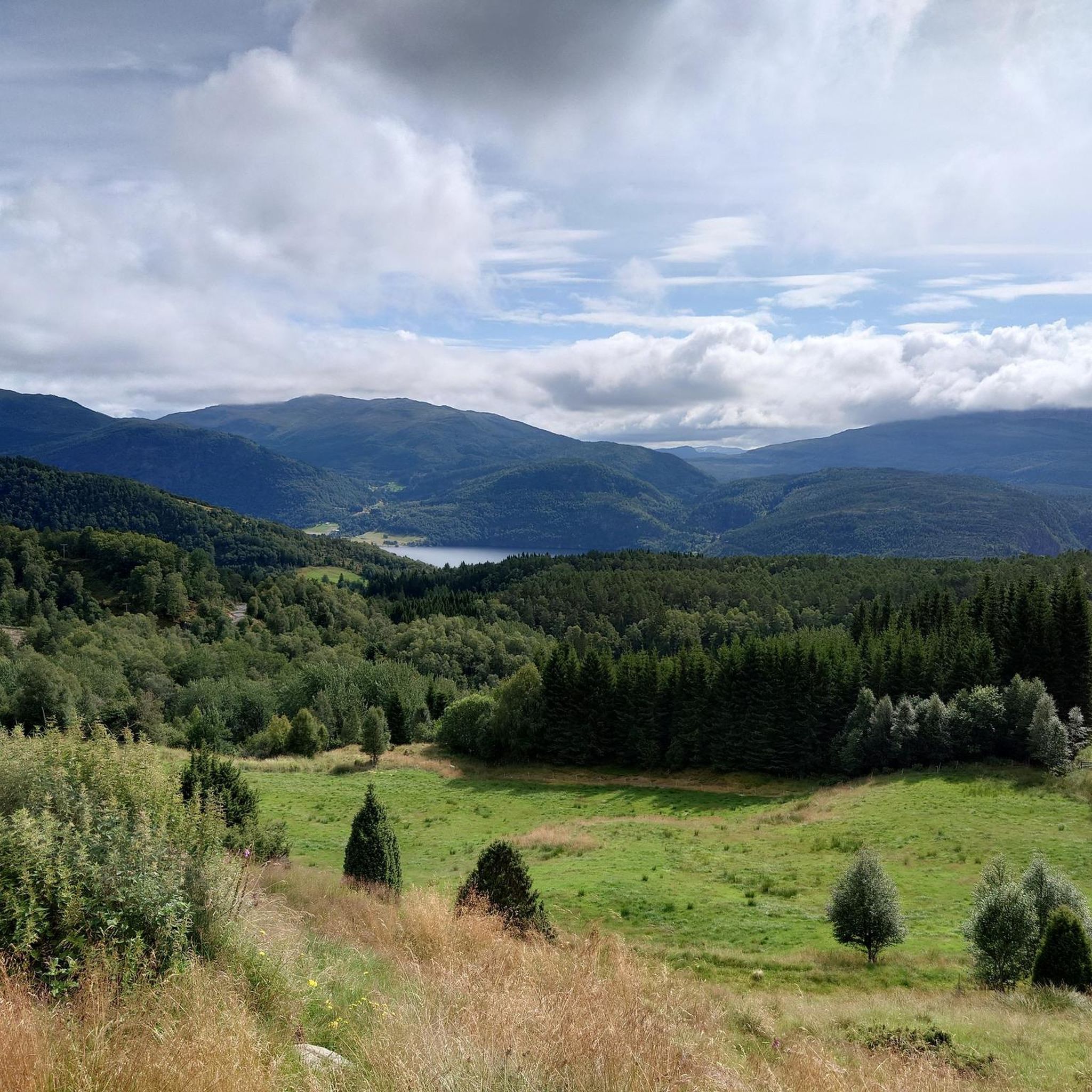
Road cycling around Naustdal offers diverse landscapes, characterized by the Førdefjord and lush valleys like Naustedalen. The region features majestic mountains such as Storehesten, Heilefjellet, and Blegja, providing varied terrain for cyclists. Many routes utilize low-traffic, paved roads, offering steady inclines and gentle downhill slopes. The Naustdal-Gjengedal Protected Landscape ranges from 60 to 1572 meters above sea level, encompassing sheer mountains and idyllic river valleys.
Best road cycling routes around Naustdal
- The most popular road cycling route is Halbrendsfossen –…
Last updated: June 29, 2026
5.0
(1)
13
riders
85.5km
04:42
1,600m
1,600m
Hard road ride. Very good fitness required. Some segments of this route may be unpaved and difficult to ride.
5
riders
120km
06:39
2,440m
2,440m
Hard road ride. Very good fitness required. Some segments of this route may be unpaved and difficult to ride.

Sign up for free
9
riders
84.0km
04:11
1,210m
1,210m
Hard road ride. Very good fitness required. Mostly well-paved surfaces and easy to ride.
3
riders
68.9km
03:47
1,260m
1,260m
Hard road ride. Very good fitness required. Mostly well-paved surfaces and easy to ride.
3
riders
48.1km
02:42
910m
910m
Hard road ride. Very good fitness required. Mostly well-paved surfaces and easy to ride.
Our route recommendations are based on thousands of hikes, rides, and runs completed by other people on komoot.
Start today with a free account
Your next adventure awaits.
Login or Signup
Popular around Naustdal
Tips from the Community

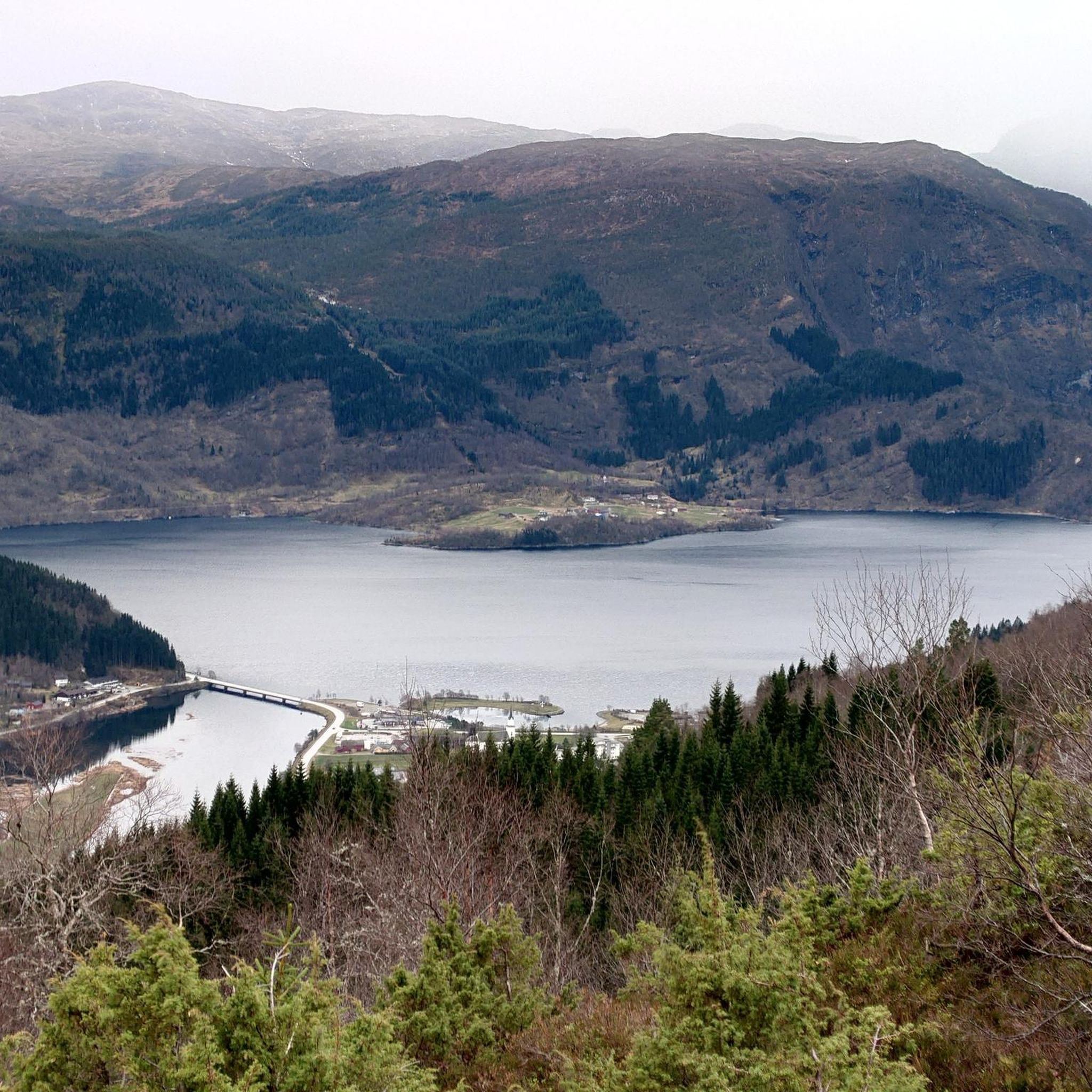
Through this bridge you can cross Jølstra and observe the nature around.
0
0

Very good asphalt, hardly any traffic
0
0
Frequently Asked Questions
How many road cycling routes are available around Naustdal?
Naustdal offers several challenging road cycling routes, with over 4 distinct tours documented on komoot. These routes primarily feature difficult terrain, providing a rewarding experience for experienced cyclists.
What kind of terrain and difficulty can I expect on road cycling routes in Naustdal?
Road cycling in Naustdal features diverse and often challenging terrain. Routes traverse lush valleys like Naustedalen and follow the Førdefjord, with segments on low-traffic, paved roads. You'll encounter steady inclines and gentle downhill slopes, with the Naustdal-Gjengedal Protected Landscape ranging from 60 to 1572 meters above sea level. All routes currently listed are rated as difficult, requiring good fitness.
Are there any scenic viewpoints or natural features to see along the road cycling routes?
Yes, Naustdal's routes offer stunning natural features. You can enjoy views of majestic mountains like Storehesten, Heilefjellet, and Blegja. The region is also known for its waterfalls; for instance, the Halbrendsfossen – Vallestadfossen loop from Førde passes by notable cascades. Other highlights in the area include the impressive Huldevossen and the serene Lake Bekkevatnet.
What do other road cyclists enjoy the most about road cycling in Naustdal?
The road cycling routes in Naustdal are highly rated by the komoot community, with an average score of 5.0 stars. Cyclists often praise the stunning fjord and mountain views, the challenging climbs, and the opportunity to explore diverse landscapes on low-traffic roads.
Are there any circular road cycling routes in Naustdal?
Yes, many of the road cycling routes in Naustdal are designed as loops. For example, you can explore the Svarthumlevatnet – Keilevågen loop from Sørstrand, which offers extensive views, or the Stegaberget – Vest loop from Førde, leading through mountainous terrain.
Are there any cafes or places to stop for refreshments along the routes?
While specific cafes directly on every route segment are not detailed, the region research mentions that a stop at Håjen cafe can enhance the experience when cycling along the Førdefjord towards Helle. It's advisable to check local listings for current operating hours and locations of cafes in towns like Førde or Naustdal itself.
What is the best time of year for road cycling in Naustdal?
The best time for road cycling in Naustdal is typically during the warmer months, from late spring to early autumn. This period offers more stable weather conditions, longer daylight hours, and ensures that mountain passes are clear of snow, allowing access to the full range of scenic routes.
Are there any family-friendly road cycling options in Naustdal?
While the routes listed in this guide are all rated as difficult, the Naustdal-Gjengedal Protected Landscape does offer diverse terrain, including some segments suitable for varying fitness levels. For a potentially more moderate experience, the Jølstravatnet Lake loop from Hjellbrekke, mentioned in regional research, is described as suitable for all skill levels, though it's not one of the featured routes here.
What are some of the longer road cycling routes available?
Naustdal offers several longer, challenging routes. The Stegaberget – Vest loop from Førde is one of the longest, covering 74.7 miles (120.2 km). Another substantial option is the Svarthumlevatnet – Keilevågen loop from Sørstrand, which is 70.5 miles (113.4 km) long.
Can I find routes that explore the Naustedalen valley?
Yes, the Naustedalen valley is a prominent feature of the region, rich with majestic peaks and idyllic river valleys. Road cycling routes in Naustdal often traverse this area, allowing cyclists to experience its cultural landscape and natural beauty. While not explicitly named, routes originating from Naustdal or Førde will likely offer views and segments within or adjacent to this scenic valley.
Are there any routes that pass by significant waterfalls?
Yes, the Halbrendsfossen – Vallestadfossen loop from Førde is a great option for those interested in waterfalls, as it passes by several notable ones. The region is known for its 'waterfall hunts,' with highlights like Styggelifossen and Hovefossen, though their direct accessibility by road bike may vary.
What are the elevation gains like on Naustdal's road cycling routes?
The road cycling routes in Naustdal feature significant elevation gains, reflecting their 'difficult' rating. For example, the Stegaberget – Vest loop from Førde involves over 2,400 meters of ascent, while the Svarthumlevatnet – Keilevågen loop from Sørstrand has an elevation gain of over 1,800 meters. Be prepared for challenging climbs.
Most popular routes around Naustdal
Most popular attractions around Naustdal

Get inspired with the komoot mobile app


Explore more
Browse the best Road cycling routes in other regions.
