The best running trails around Vågsøy
5.0
(2)
46
runners
6
runs
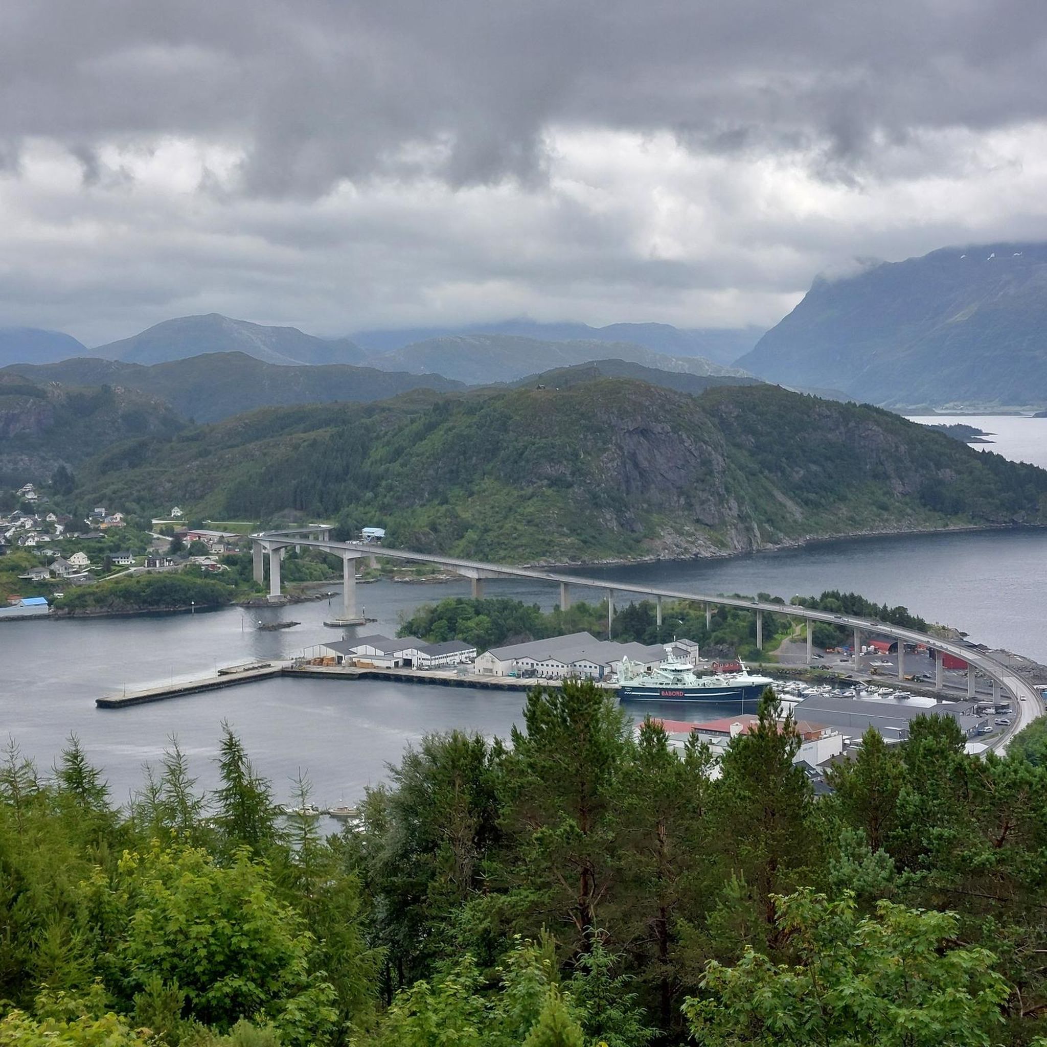
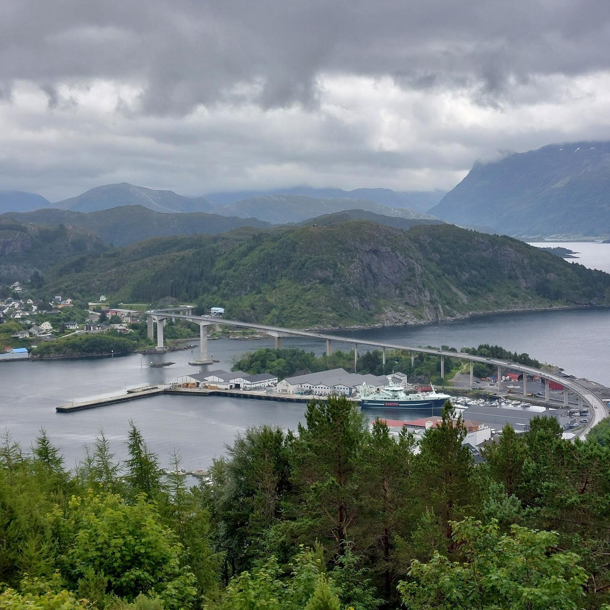
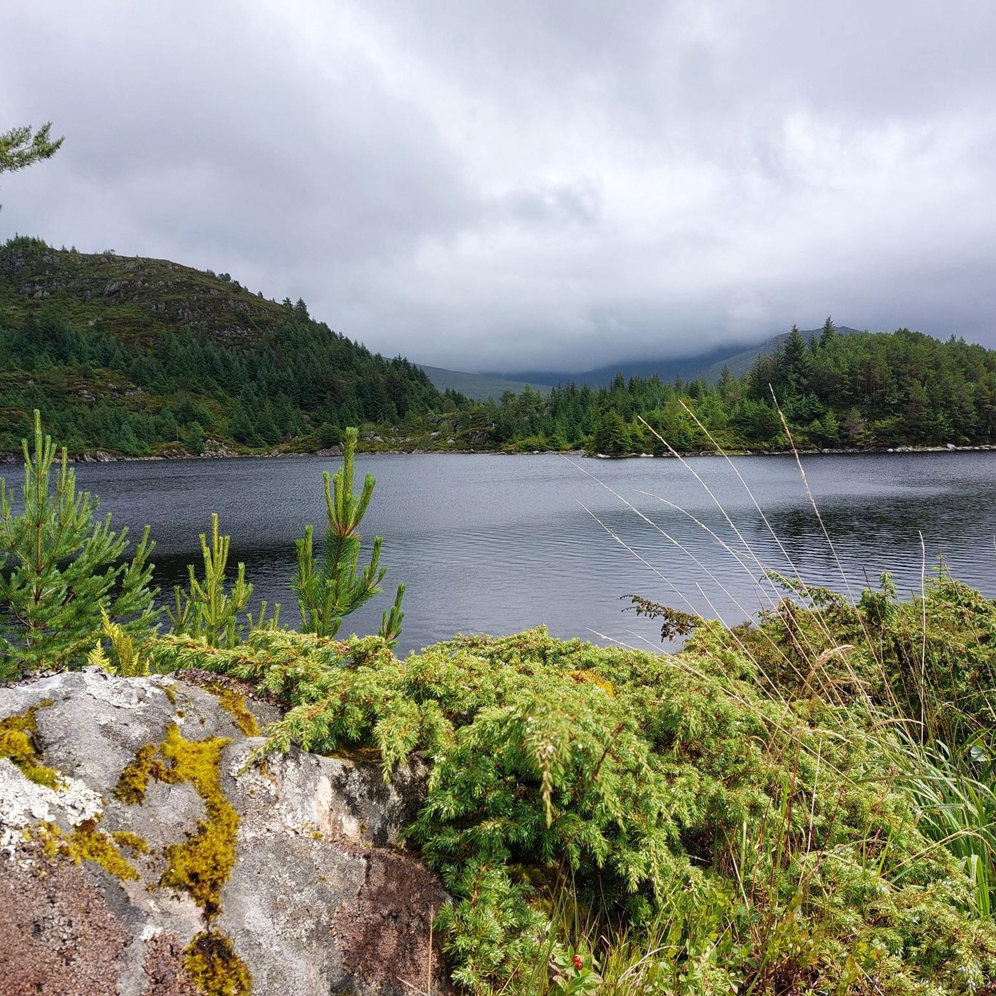
Jogging around Vågsøy offers diverse terrain across an island landscape where the Nordfjord meets the open sea. The region features a blend of fjords, high cliffs, and distinctive rock formations, providing varied backdrops for running. Trails wind through forests, open fields, and rugged mountaintops, with some routes leading to coastal paths and others ascending to panoramic viewpoints. The area's geology includes unique features like Kannesteinen, a mushroom-shaped rock, adding to the natural environment.
Best jogging routes around Vågsøy
- The most…
Last updated: June 29, 2026
17
runners
5.14km
00:36
150m
150m
Moderate run. Good fitness required. Mostly paved surfaces. Suitable for all skill levels.
5.0
(1)
9
runners
7.18km
00:50
200m
200m
Moderate run. Good fitness required. Mostly paved surfaces. Suitable for all skill levels.

Sign up for free
7
runners
12.0km
01:19
230m
240m
Moderate run. Good fitness required. Mostly paved surfaces. Suitable for all skill levels.
7
runners
11.8km
01:17
220m
220m
Moderate run. Good fitness required. Mostly paved surfaces. Suitable for all skill levels.
5.0
(1)
4
runners
8.45km
01:23
520m
520m
Hard run. Very good fitness required. Mostly paved surfaces. Suitable for all skill levels.
Our route recommendations are based on thousands of hikes, rides, and runs completed by other people on komoot.
Start today with a free account
Your next adventure awaits.
Login or Signup
Popular around Vågsøy
Tips from the Community

This rock formation forms a natural shelter you pass on your mountain hike.
0
0

The climb from the parking lot to Kjeretoppane is no problem. After that, the trail to the summit of Veten is very challenging. It climbs steeply and exposed, with no trail visible anywhere. There are good markers (red posts). Recommended only for experienced hikers.
0
0
The climb from the parking lot to Kjeretoppane is no problem. After that, the trail to the summit of Veten is very challenging. It climbs steeply and exposed, with no trail visible anywhere. There are good markers (red posts). Recommended only for experienced hikers.
1
0

The hike is challenging, slippery and muddy. Do not underestimate it. Not for kids!
3
1

Yes, right. Had waterproofs on. But it was too slippery and matchy
1
0
Frequently Asked Questions
How many running routes are available in Vågsøy?
Vågsøy offers a selection of 6 dedicated running routes, ranging from moderate to difficult, providing diverse options for exploring the island's unique landscape. These routes are highly rated by the komoot community.
Are there challenging running trails in Vågsøy for experienced runners?
Yes, Vågsøy features challenging routes for experienced runners. For instance, the Veten loop from Sør-Vågsøy kyrkje is a difficult 8.3 km trail with significant elevation gain, leading towards the Veten summit, known for its rewarding panoramic views.
Can I find running routes with scenic viewpoints in Vågsøy?
Absolutely. Many running routes in Vågsøy offer breathtaking scenic viewpoints. The island's diverse terrain includes mountain peaks like Veten, Brurahornet, and Gottrøysa, which provide panoramic vistas of the surrounding fjords and coastline. Even moderate routes often feature stunning natural backdrops.
Are there any family-friendly running paths in Vågsøy?
While specific 'easy' routes are not listed, many of Vågsøy's trails, particularly those around lakes or along coastal paths, can be enjoyed by families. The Skramsvatnet loop from Seternes, a moderate 5.1 km route, offers a pleasant run around a scenic lake that could be suitable for families looking for a less strenuous option.
What kind of natural landmarks can I see while running in Vågsøy?
Vågsøy's running routes are rich with natural landmarks. You can encounter unique geological features like the famous Kannesteinen Rock Formation, a mushroom-shaped rock sculpted by the ocean. The island also boasts rugged coastlines, dramatic fjords, and golden beaches such as Refviksanden Beach, providing a stunning backdrop for your run.
Are there circular running routes available in Vågsøy?
Yes, several circular running routes are available. Examples include the Skramsvatnet loop from Seternes and the Skramsvatnet loop from Gotteberg, both circling the scenic Skramsvatnet lake. Another option is the longer Raudehammaren – Skarråsa loop from Nord-Vågsøy kyrkje, offering an extensive exploration of the landscape.
What do other runners say about the trails in Vågsøy?
The running routes in Vågsøy are highly regarded by the komoot community, holding an average rating of 5.0 stars from several reviews. Runners often praise the diverse terrain, from coastal paths to mountain ascents, and the stunning natural scenery, including fjords, cliffs, and unique rock formations.
Are there any running routes that explore the coastal areas of Vågsøy?
Yes, Vågsøy's rugged coastline is a defining feature, and many running routes incorporate coastal paths. While specific coastal-only routes aren't detailed, the island's geography ensures that runs often provide picturesque views of the dramatic fjords and the open sea, offering a refreshing experience with the sound of waves.
What is the longest running route in Vågsøy?
The longest running route listed is the Raudehammaren – Skarråsa loop from Nord-Vågsøy kyrkje, which spans 12.0 km (7.5 miles). This moderate trail offers a comprehensive exploration of Vågsøy's varied terrain.
Are there any running routes that pass by lighthouses or other man-made monuments?
While running, you might encounter views of man-made structures that add to the regional character. For example, the Kråkenes Lighthouse is a notable landmark in the Vågsøy area, offering a glimpse into the maritime history of the region. Some routes may offer distant views or pass near such points of interest.
What kind of terrain can I expect on Vågsøy's running trails?
Vågsøy's running trails offer a diverse range of terrain. You can expect paths winding through forests, open fields, and rugged mountaintops. Some routes lead to coastal paths with refreshing sea breezes, while others ascend to higher elevations, providing challenging climbs and panoramic views of the surrounding fjords and islands.
Are there any running routes that include lake views?
Yes, you can enjoy beautiful lake views on several running routes in Vågsøy. The Skramsvatnet loop from Seternes and the Skramsvatnet loop from Gotteberg both circle the scenic Skramsvatnet lake, offering pleasant runs with picturesque water scenery.
Most popular routes around Vågsøy
Most popular attractions around Vågsøy

Get inspired with the komoot mobile app


Explore more
Browse the best Running Trails & Routes in other regions.
