The best walks and hikes around Næra
3.0
(1)
25
hikers
8
hikes
Hiking trails around Næra, located in Hedmark, Norway, offer diverse options for outdoor activity. The region is characterized by a beautiful lake, surrounding forests, and rolling hills, providing varied terrain for exploration. Paths range from accessible, easy walks to more moderate hikes, catering to different fitness levels. This natural environment is conducive to exploration on foot, with waterways and woodlands defining the landscape.
Best hiking trails around Næra
- The most popular hiking route is Leinvanghøgda loop from Næroset, a…
Last updated: October 13, 2026
5
hikers
7.81km
02:20
230m
230m
Moderate hike. Good fitness required. Easily-accessible paths. Suitable for all skill levels.
3
hikers
3.71km
01:08
120m
120m
Easy hike. Great for any fitness level. Easily-accessible paths. Suitable for all skill levels.

5
hikers
4.58km
01:15
70m
70m
Easy hike. Great for any fitness level. Easily-accessible paths. Suitable for all skill levels.
1
hikers
8.51km
02:34
280m
280m
Moderate hike. Good fitness required. Easily-accessible paths. Suitable for all skill levels.
3
hikers
6.13km
01:39
70m
70m
Easy hike. Great for any fitness level. Easily-accessible paths. Suitable for all skill levels.
Get access to more routes and recommendations from other explorers.
Already have an account?
Our route recommendations are based on thousands of hikes, rides, and runs completed by other people on komoot.
Start today with a free account
Your next adventure awaits.
Tips from the Community

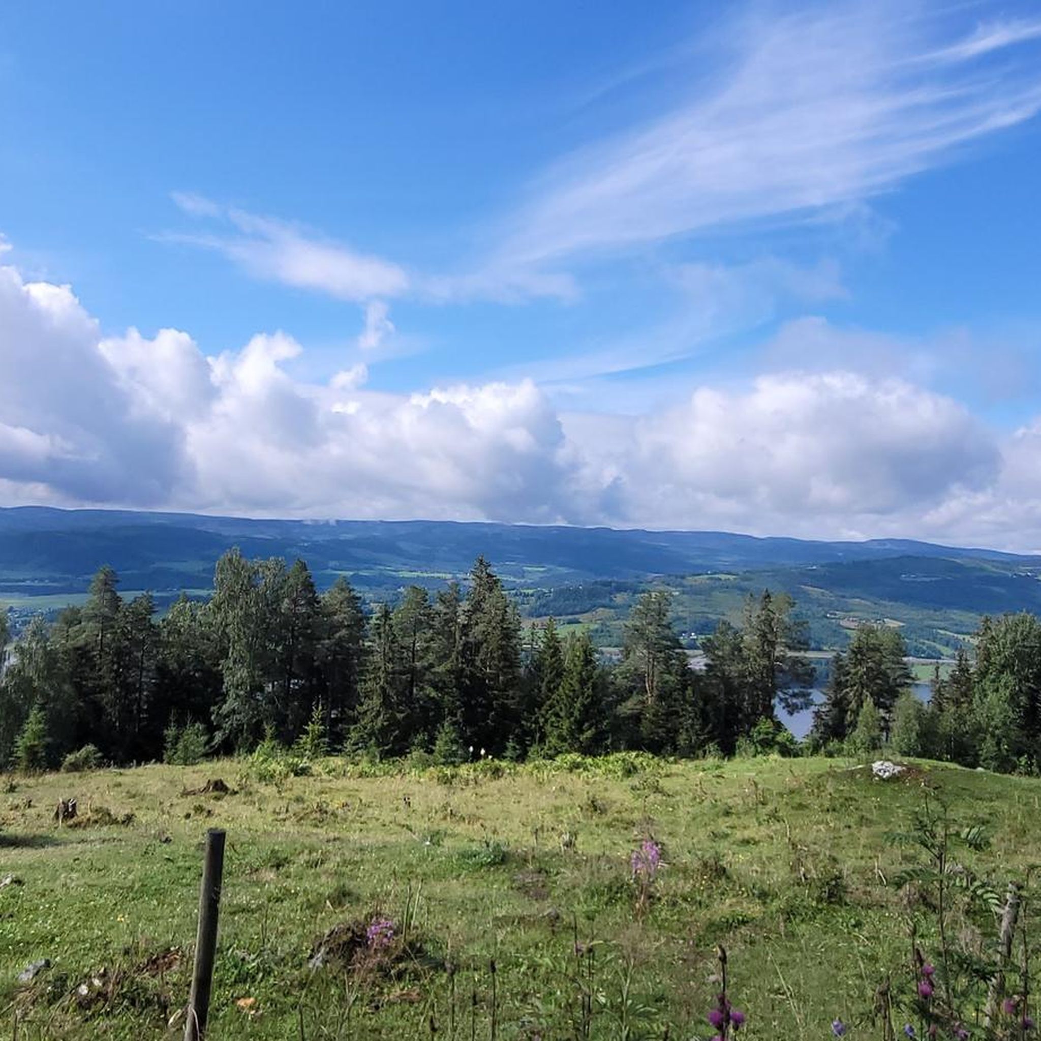
Fossmarka is the closest area of natural beauty to Moelv. A network of trails explore the woodland, which rises above the Moelva river, which was the lifeblood of early industry in the town. Many remnants of this industrial past can be seen along the river.
0
0
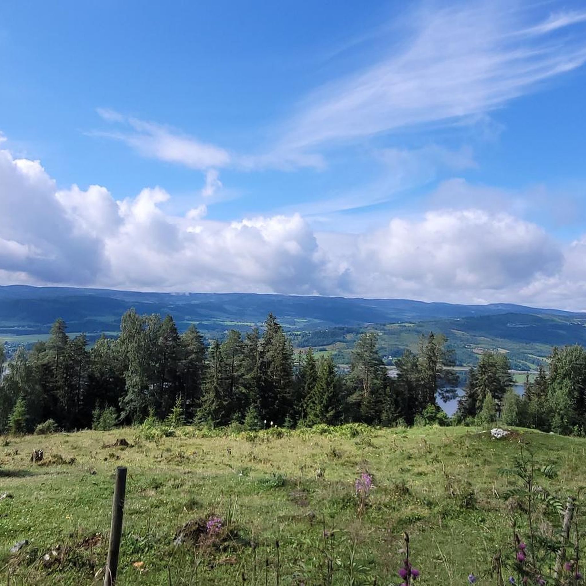
This is a beautiful part of Fossmarka, a glorious wooded region to the east of Moelv. Many trails criss-cross the woods, providing ample opportunity for extended exploration.
0
0

beautiful little cove framed by trees, sheltered from big waves with sandy beach seating BBQ garbage disposal.
0
0
Frequently Asked Questions
How many hiking trails are available around Næra?
There are 6 hiking trails available around Næra, offering a range of options for different preferences and fitness levels. These include 4 easy routes and 2 moderate routes.
What kind of terrain can I expect on hikes around Næra?
Hikes around Næra feature diverse terrain, from accessible paths suitable for easy walks to more moderate trails with some elevation gain. You can expect to traverse forests, rolling hills, and areas offering views of the beautiful Lake Næra and surrounding waterways.
Are there easy hiking options suitable for beginners or families around Næra?
Yes, Næra offers several easy hiking options perfect for beginners or families. For instance, the View of Lake Mjøsa loop from Biri is an easy 3.7 km path that takes about 1 hour and 8 minutes, providing scenic views. Another easy option is the Hiking loop from Anderkvern, which is 6.1 km long and takes approximately 1 hour and 39 minutes.
Are there any circular hiking routes around Næra?
Yes, many of the trails around Næra are circular routes, allowing you to start and end at the same point. Examples include the popular Leinvanghøgda loop from Næroset, the View of Lake Mjøsa loop from Biri, and the Freeman Sculpture loop from Mesnali.
What are the typical durations for hikes in the Næra area?
Hikes around Næra typically range from just over an hour to about 2.5 hours. For example, the View of Lake Mjøsa loop from Biri can be completed in about 1 hour and 8 minutes, while the Leinvanghøgda loop from Næroset takes approximately 2 hours and 20 minutes.
Can I bring my dog on the hiking trails around Næra?
Generally, dogs are welcome on hiking trails in Norway, but it's always best to keep them on a leash, especially during nesting seasons for birds (April 1 to August 20) and in areas with livestock. Always check local signage for specific rules on individual trails.
Are there any hikes that offer scenic views of the lakes?
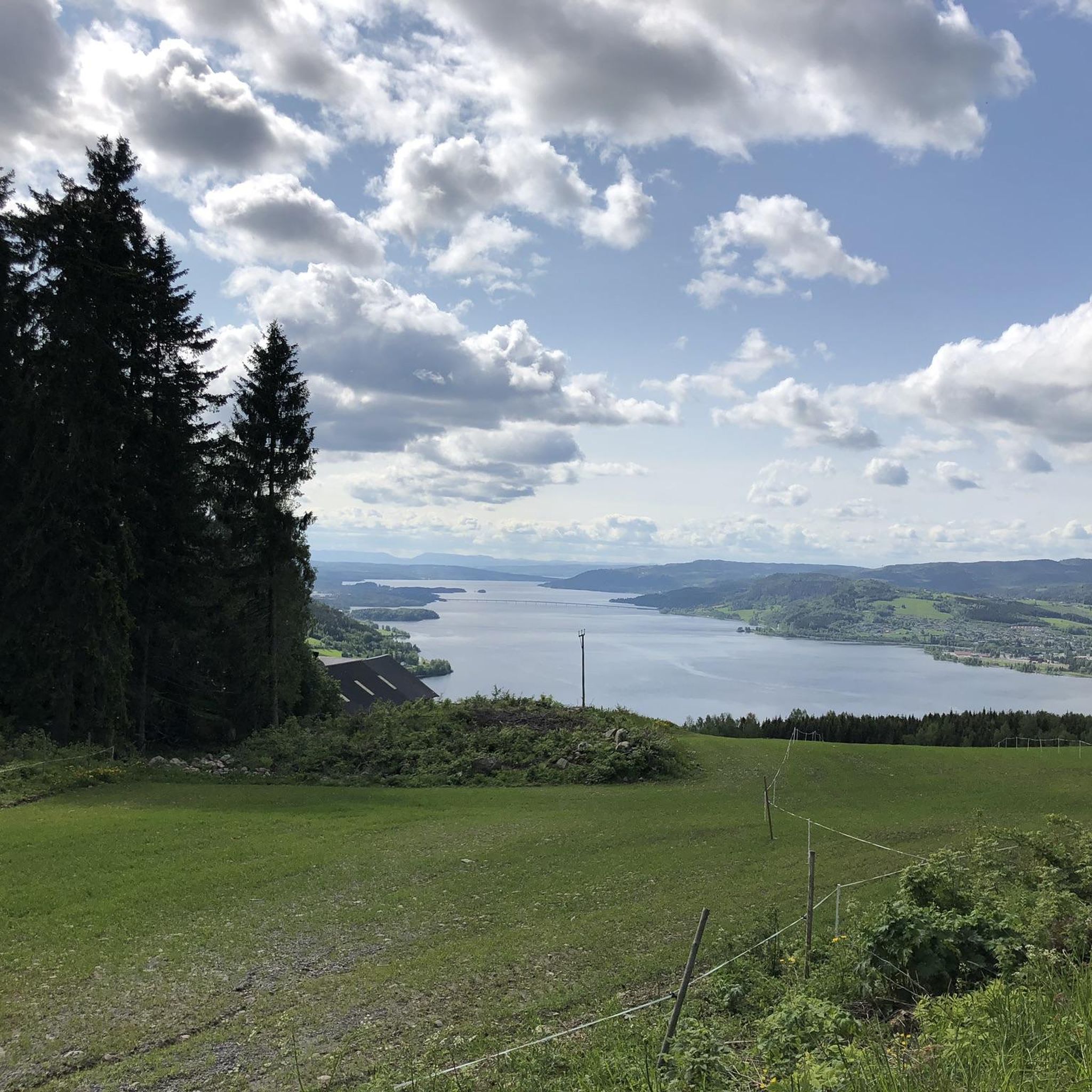
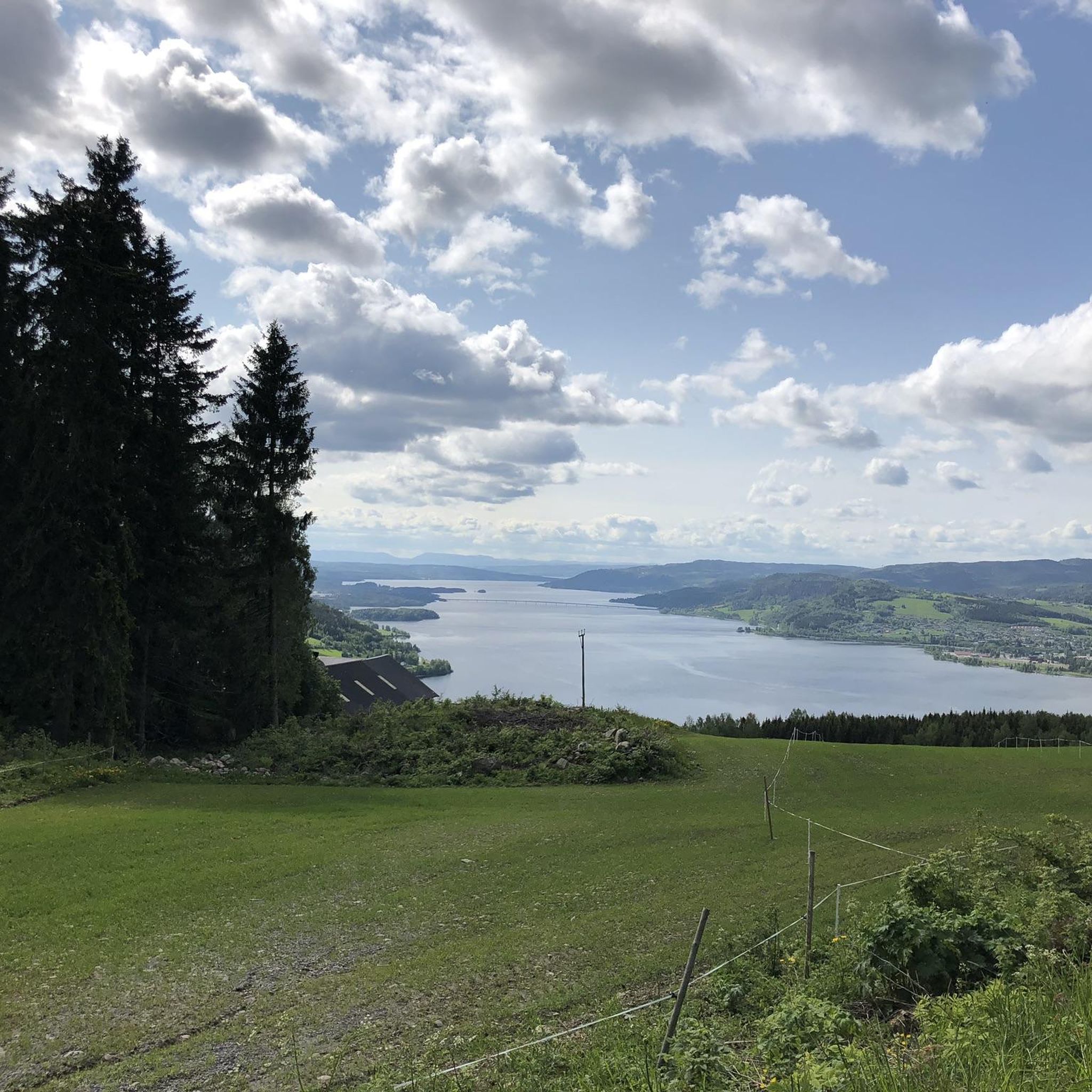
Absolutely. The region is known for its beautiful lakes. The View of Lake Mjøsa loop from Biri specifically offers picturesque vistas of Lake Mjøsa. Many other trails will provide glimpses of Lake Næra and the surrounding natural scenery.
What is the best time of year to go hiking around Næra?
The best time for hiking around Næra is typically during the warmer months, from late spring to early autumn (May to September), when the trails are clear of snow and the weather is most pleasant. This allows for comfortable exploration of the forests, hills, and lake views.
Are there any longer, more challenging hikes for experienced hikers?
While Næra primarily offers easy to moderate trails, some routes provide a good workout with moderate elevation gain. The Leinvanghøgda loop from Næroset, for example, is a moderate 7.8 km trail with an elevation gain of about 230 meters, offering a more extended and engaging experience.
Where can I find parking for hiking trails around Næra?
Specific parking information for each trailhead is often available on local maps or at the start of the trails. Given the accessibility of many paths in the Næra region, trailheads are generally located in areas where parking is either designated or readily available nearby, such as in Næroset, Biri, or Mesnali.
Is public transport available to reach hiking trailheads in Næra?
While specific public transport routes directly to every trailhead might be limited in this natural area, larger towns like Næroset, Biri, and Mesnali, which serve as starting points for some trails, are generally accessible by local bus services. It's advisable to check local transport schedules for the most up-to-date information.
What are some notable features I might encounter on the trails around Næra?
Hiking trails around Næra are characterized by their natural beauty. You'll encounter dense forests, rolling hills, and the serene waters of Lake Næra. Some routes, like the Freeman Sculpture loop from Mesnali, lead through forested areas, offering a peaceful immersion in nature.

Get inspired with the komoot mobile app


Explore more
Browse the best Hikes in other regions.
