The best road cycling routes around Strynevatnet
5.0
(1)
45
riders
4
rides
Road cycling around Strynevatnet features routes through a landscape characterized by emerald-green glacial lakes, towering mountains, and deep valleys. The region offers varied terrain for road cyclists, from winding roads alongside serene waters to challenging climbs through mountainous areas. Coastal fjords also contribute to the diverse scenery, providing a backdrop for many routes.
Best road cycling routes around Strynevatnet
- The most popular road cycling route is Dragholen – Napen loop from Meland, a 47.1 miles (75.8 km) trail that…
Last updated: July 10, 2026
17
riders
39.7km
02:41
1,340m
1,340m
Hard road ride. Very good fitness required. Some segments of this route may be unpaved and difficult to ride.
11
riders
75.8km
04:28
1,650m
1,650m
Hard road ride. Very good fitness required. Some segments of this route may be unpaved and difficult to ride.

Sign up for free
5
riders
132km
07:58
1,700m
1,700m
Hard road ride. Very good fitness required. Some segments of this route may be unpaved and difficult to ride.
5.0
(1)
12
riders
132km
07:09
2,300m
2,300m
Hard road ride. Very good fitness required. Some segments of this route may be unpaved and difficult to ride.
Our route recommendations are based on thousands of hikes, rides, and runs completed by other people on komoot.
Start today with a free account
Your next adventure awaits.
Login or Signup
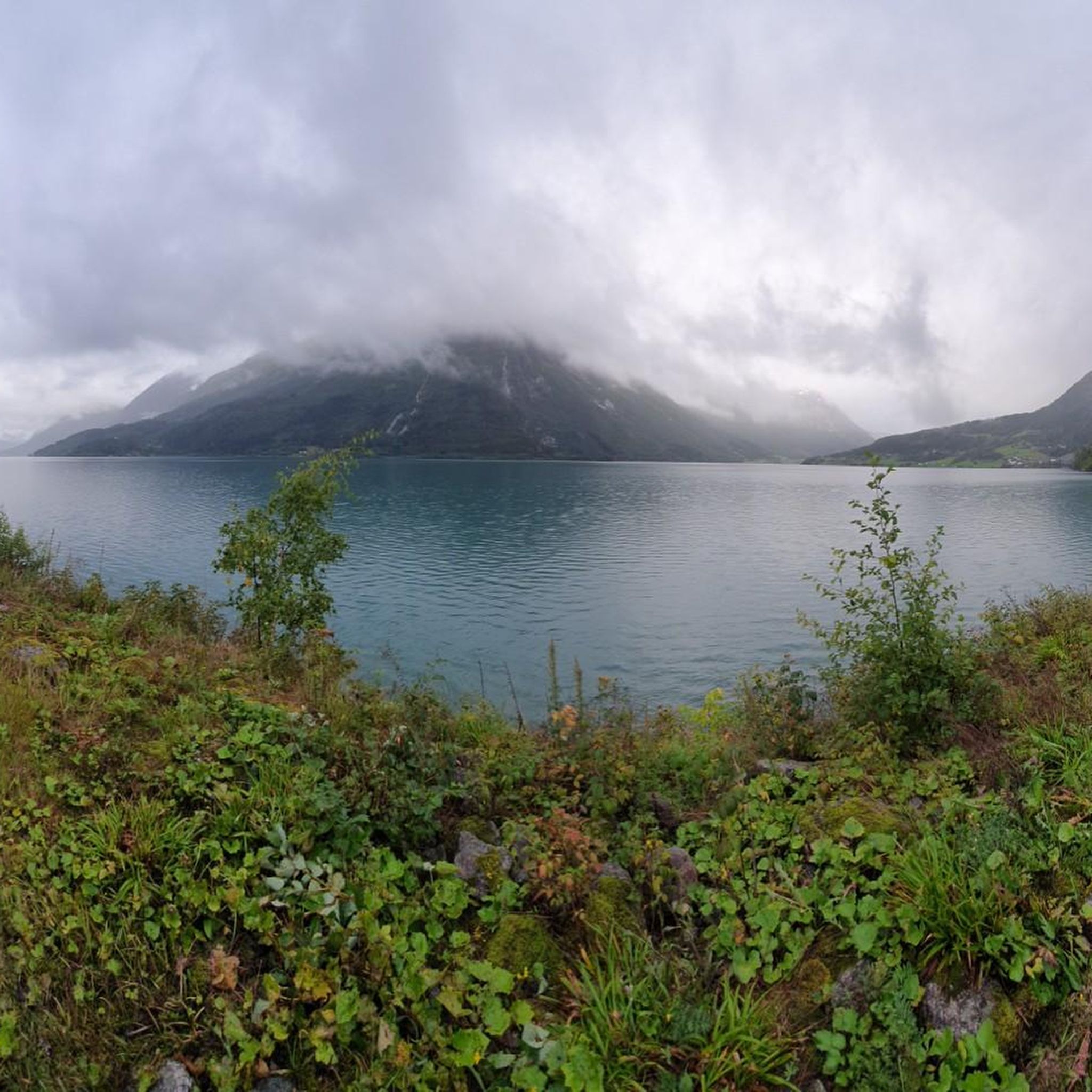
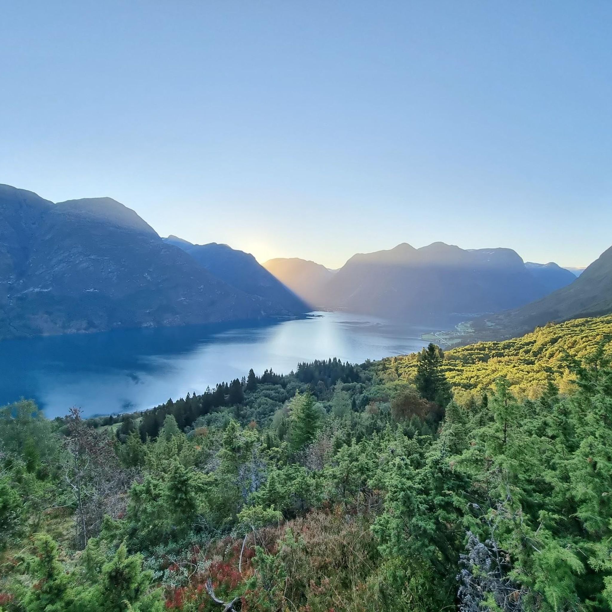
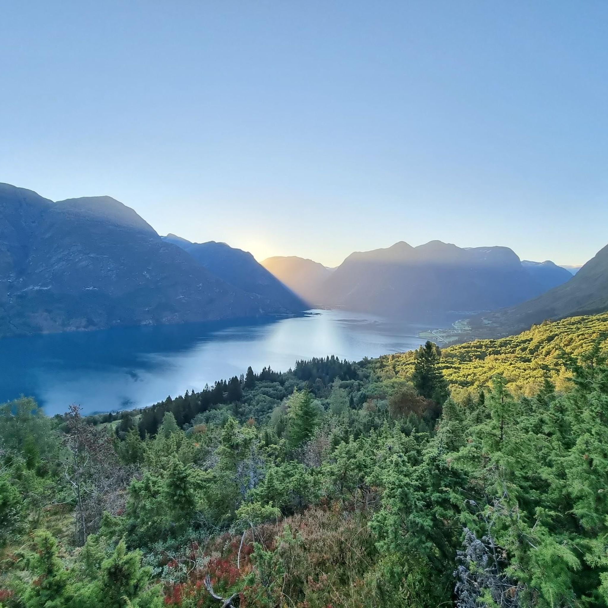
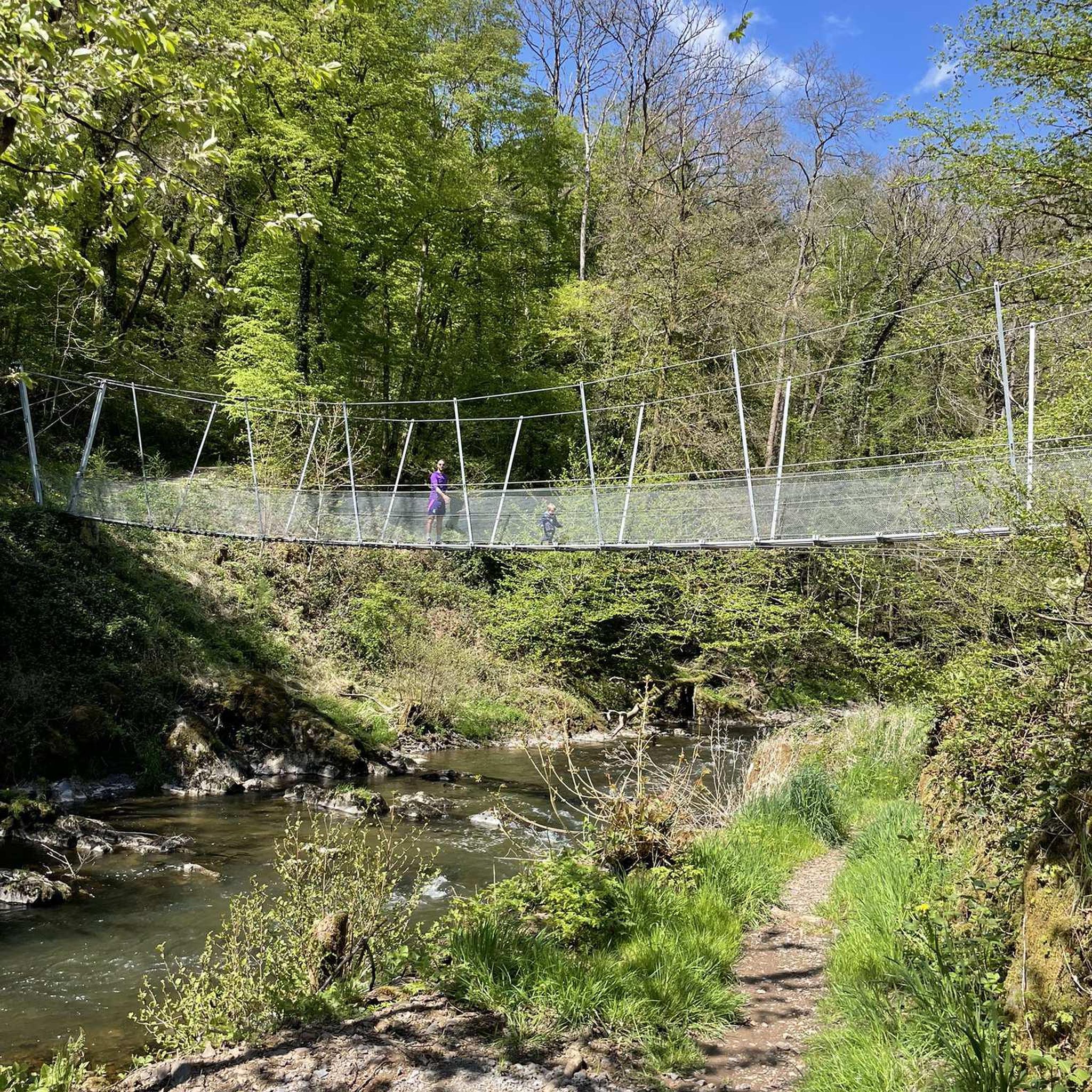
Tips from the Community

Hellesylt is a small place where you can relax a little.
0
0
Small place to walk
0
0

A beautiful waterfall in the middle of Hellesylt.
0
0

This is where the ferry to or from Geiranger starts or ends.
1
1

An idyllic coffee bar with a cozy living room atmosphere and very friendly staff where the tastiest coffee and cappuccino in Hellesylt is made and served!
4
0

The waterfall is located right at the ferry terminal in Hellesylt, nice to look at.
2
0

Small waterfall behind the beautiful stone bridge.
2
0
Hellesylt, picturesquely situated place in the Sunnylvsfjord. The fjord, the Langedalselva waterfall and the picturesque mountains attract many visitors.
3
0
Frequently Asked Questions
What kind of terrain can I expect when road cycling around Strynevatnet?
Road cycling around Strynevatnet offers a diverse and often challenging terrain. You'll encounter winding roads alongside emerald-green glacial lakes, deep valleys, and significant climbs through towering mountains. The region is known for its dramatic landscapes, so expect varied elevation and stunning views throughout your ride.
Are there challenging road cycling routes in the Strynevatnet area?
Yes, the Strynevatnet region is well-suited for challenging road cycling. Many routes feature substantial elevation gains and cover long distances. For example, the Dragholen – Napen loop from Meland is a difficult 75.8 km route with over 1600 meters of elevation gain, while the Sjøskorane – Nykjen loop from Loen kyrkje is an even more demanding 132 km route with over 2300 meters of climbing.
What natural features and landmarks can I see along the road cycling routes?
The routes around Strynevatnet are rich with natural beauty. You'll cycle alongside emerald-green glacial lakes like Lovatnet and Oppstrynsvatnet, witness cascading waterfalls, and enjoy panoramic views of majestic fjords and towering mountains. The historic Gamle Strynefjellsvegen, a Norwegian Scenic Route, offers a unique experience with hand-built stone masonry and views of turquoise mountain lakes and waterfalls like Øvstefossen and Videfossen.
What is the best time of year for road cycling in Strynevatnet?
The best time for road cycling in Strynevatnet is generally during the warmer months, typically from late spring to early autumn. This period offers the most favorable weather conditions, with roads clear of snow and ice, allowing full access to the region's scenic routes, including the historic Gamle Strynefjellsvegen which is usually open during summer.
Are there any family-friendly road cycling routes around Strynevatnet?
While many routes in Strynevatnet feature significant elevation and can be challenging, there are options for more leisurely rides. The region offers narrow country roads, particularly around Lake Lovatnet, which can be suitable for families looking for picturesque experiences with less traffic. Always check the route's elevation profile and distance to ensure it matches your family's ability.
Are there circular road cycling routes available in Strynevatnet?
Yes, several road cycling routes in Strynevatnet are designed as loops, allowing you to start and end at the same point. Examples include the challenging Dragholen – Napen loop from Meland and the Dragholen – Svartomnen loop from Hjelle, both offering extensive rides through the region's dramatic landscapes.
How many road cycling routes are available in the Strynevatnet area?
There are several road cycling routes available in the Strynevatnet area, with komoot featuring 4 distinct routes. These routes cater to various preferences, though many are considered difficult due to significant elevation changes.
What do other road cyclists enjoy most about road cycling in Strynevatnet?
The road cycling experience in Strynevatnet is highly rated by the komoot community, with an average score of 5.0 stars. Cyclists often praise the breathtaking natural beauty, including the emerald-green glacial lakes, towering mountains, and dramatic fjords, as well as the variety of challenging routes that immerse them in Norway's 'national-romantic nature'.
Where can I find parking for road biking routes in Strynevatnet?
Specific parking information varies by route starting point. However, many routes begin from villages or accessible points around the lakes, such as Meland or Hjelle, where local parking facilities may be available. It's advisable to check the specific route details on komoot for recommended starting points and potential parking options.
Are there any cafes or places to stop for refreshments along the cycling routes?
While the region is primarily natural, some routes pass through or near charming villages where you may find local cafes or small shops. For instance, routes around Lake Lovatnet might offer stopping points. It's always a good idea to carry sufficient water and snacks, especially on longer or more remote sections, as services can be sparse in mountainous areas.
What is the typical duration for road cycling routes in Strynevatnet?
The duration for road cycling routes in Strynevatnet varies significantly based on distance, elevation, and your cycling pace. Routes can range from approximately 4 hours for a 40 km challenging loop like Dragholen – Svartomnen loop from Hjelle, to nearly 8 hours for longer, more demanding rides such as the 132 km Hellesylt Boutique & Bar – Waterfall loop from Grovaøyane.
Can I explore historical roads while road cycling in Strynevatnet?
Absolutely. A major highlight for cyclists in the region is the Gamle Strynefjellsvegen (The Old Strynefjell Road). This historic Norwegian Scenic Route, built by hand in the late 19th century, offers a unique 'museum experience' with its hand-built stone masonry and guard stones. While parts are gravel, it's a must-do for its historical significance and stunning views.

Get inspired with the komoot mobile app


Explore more
Browse the best Road cycling routes in other regions.
