The best MTB trails around Almasjön
4.1
(12)
36
riders
6
rides
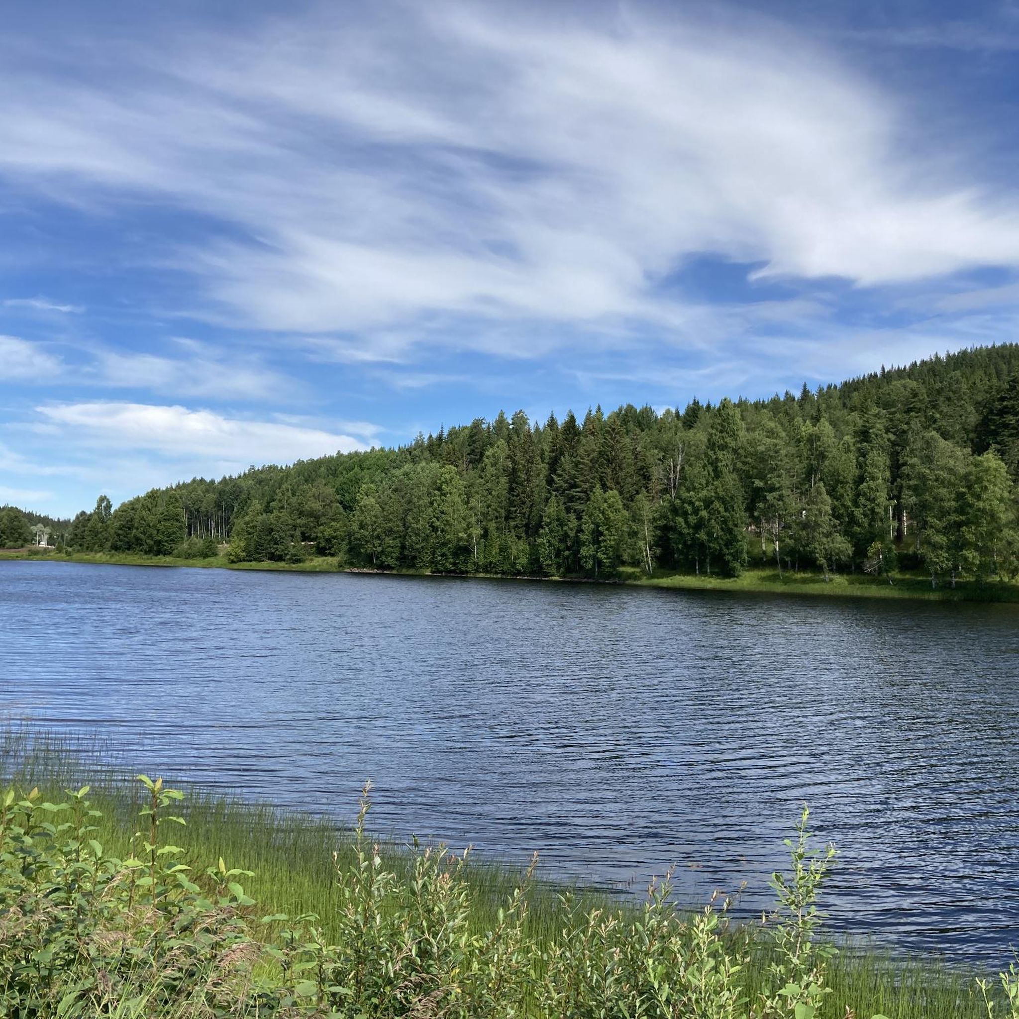
Mountain biking around Almasjön offers diverse terrain within the Malung-Sälen Municipality, a key part of Dalarna, Sweden's recognized mountain biking region. The area features a landscape of dense forests, marshlands, and lakes, including Almasjön itself, which sits at 307.7 meters above sea level. Riders can expect a mix of forest paths, gravel roads, and some challenging technical sections, with routes often following rivers like the Västerdal. The broader region includes mountainous areas that provide varied elevation for climbs and descents.
…Last updated: June 27, 2026
4.3
(4)
16
riders
28.8km
01:43
200m
200m
Easy mountain bike ride. Great for any fitness level. Suitable for all skill levels.
4.5
(4)
7
riders
19.8km
01:45
240m
240m
Easy mountain bike ride. Great for any fitness level. Suitable for all skill levels.

Sign up for free
4.0
(1)
4
riders
52.3km
03:29
430m
430m
Moderate mountain bike ride. Good fitness required. Suitable for all skill levels.
2
riders
56.2km
04:05
400m
400m
Moderate mountain bike ride. Good fitness required. Suitable for all skill levels.
3.5
(2)
4
riders
12.8km
00:52
90m
90m
Easy mountain bike ride. Great for any fitness level. Suitable for all skill levels.
Our route recommendations are based on thousands of hikes, rides, and runs completed by other people on komoot.
Start today with a free account
Your next adventure awaits.
Login or Signup
Popular around Almasjön
Frequently Asked Questions
How many mountain bike trails are available around Almasjön?
There are 6 mountain bike trails around Almasjön listed in this guide. These routes offer a mix of easy and moderate options, catering to various skill levels.
What kind of terrain can I expect on mountain bike trails near Almasjön?
The terrain around Almasjön is characterized by a diverse landscape of dense forests, marshlands, and lakes. You can expect a mix of forest paths, gravel roads, and some technical sections. The broader Malung-Sälen municipality also features mountainous areas, providing varied elevation for climbs and descents.
Are there mountain bike trails suitable for beginners around Almasjön?
Yes, there are several easy mountain bike trails perfect for beginners. For example, the Ljustjärnen – Busjön loop from Yttermalung is an easy 17.9-mile (28.8 km) route that navigates through the characteristic forest and lake landscape. Another good option is the Eggarna loop from Yttermalung, which is 7.9 miles (12.8 km) and leads through varied forest terrain.
What is the difficulty level of mountain bike trails in the Almasjön area?
The mountain bike trails around Almasjön range from easy to moderate. There are 3 easy routes and 3 moderate routes listed in this guide, offering options for both casual riders and those looking for a bit more challenge.
What natural features or viewpoints can I expect to see while mountain biking around Almasjön?
The trails often wind through dense forests and past numerous lakes, including Almasjön itself. You might encounter picturesque views of the surrounding woodlands and waterways. The Yttermalung Lake View loop from Yttermalung, for instance, offers expansive views across local lakes. The region also features rivers like the Västerdal, and elevated areas like Byråsen mountain, which provide rewarding vistas after a climb.
Is there parking available near the mountain bike trails around Almasjön?
While specific parking details for each trail are best checked on individual route pages, the Malung-Sälen Municipality, where Almasjön is located, is well-equipped for outdoor activities. It's common to find designated parking areas near trailheads, especially in a region known for its mountain biking infrastructure.
What is the best time of year for mountain biking around Almasjön?
The best time for mountain biking around Almasjön is typically during the warmer months, from late spring through early autumn (May to September). During this period, the trails are generally dry and accessible, and the weather is pleasant for outdoor activities. Winter conditions would make mountain biking challenging due to snow and ice.
Are the mountain bike trails around Almasjön family-friendly?
Yes, with several easy routes available, mountain biking around Almasjön can be family-friendly. Trails like the Supartjärnen loop from Yttermalung offer a manageable distance and elevation suitable for families with varying skill levels.
Can I bring my dog on the mountain bike trails near Almasjön?
Generally, dogs are welcome on many outdoor trails in Sweden, especially in natural areas like those around Almasjön. However, it's always advisable to keep dogs on a leash to protect local wildlife and ensure a pleasant experience for all trail users. Check local regulations or specific trail signage for any restrictions.
What do other mountain bikers enjoy the most about mountain biking in Almasjön?
The area is highly rated by the komoot community, with an average score of 4.1 stars from more than 10 reviews. Reviewers often praise the diverse terrain, the serene forest and lake landscapes, and the variety of routes suitable for different ability levels.
Are there any longer mountain bike routes for endurance riders?
Yes, for those looking for longer rides, the Yttermalung Lake View loop from Yttermalung is a moderate 34.9-mile (56.2 km) path, and the Lömberget loop from Yttermalung covers 32.5 miles (52.3 km) with moderate elevation changes, offering a good challenge for endurance.
What services are available for cyclists in the broader Malung-Sälen region?
The Malung-Sälen Municipality, part of the 'Biking Dalarna' initiative, ensures high-quality cycling experiences. Facilities in the region often carry an 'Outdoor Qualified' certification, providing essential services for cyclists such as secure bike storage, washing facilities, and tools for minor repairs. For more information on cycling in the region, you can visit Visit Dalarna's cycling page for Malung.
Most popular routes around Almasjön

Get inspired with the komoot mobile app


Explore more
Browse the best MTB trails in other regions.
