Easy hikes and walks around Parco regionale Monti Picentini
4.3
(957)
4,132
hikers
139
hikes
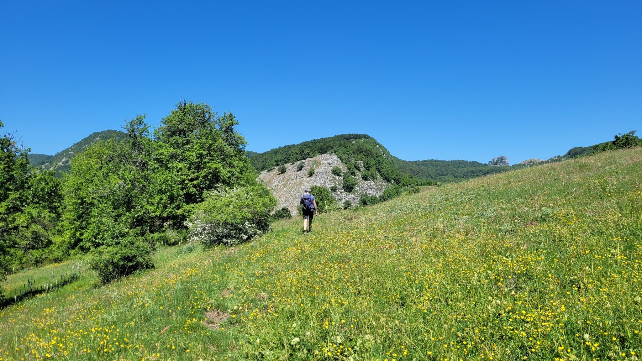
Easy hiking trails around Parco regionale Monti Picentini traverse a landscape defined by the Monti Picentini mountain chain, featuring numerous peaks and extensive, dense forests. The region is a vital water reserve, with its calcareous rock feeding several rivers and streams, leading to picturesque waterfalls. This diverse terrain offers a variety of easy routes suitable for different experience levels.
Best easy hiking trails around Parco regionale Monti Picentini
- The most popular easy hiking route is Monte Tubenna e Monte Visciglieta…
Last updated: July 7, 2026
4.2
(18)
41
hikers
Easy hike. Great for any fitness level. Easily-accessible paths. Suitable for all skill levels.
4.0
(4)
11
hikers
4.51km
01:21
140m
140m
Easy hike. Great for any fitness level. Easily-accessible paths. Suitable for all skill levels.

Sign up for free
4.7
(3)
13
hikers
5.98km
01:54
250m
250m
Easy hike. Great for any fitness level. Easily-accessible paths. Suitable for all skill levels.
5.0
(1)
3
hikers
5.63km
01:41
160m
160m
Easy hike. Great for any fitness level. Easily-accessible paths. Suitable for all skill levels.
3.0
(2)
3
hikers
5.12km
01:45
250m
260m
Easy hike. Great for any fitness level. Easily-accessible paths. Suitable for all skill levels.
Get access to more routes and recommendations from other explorers.
Sign up for free
Already have an account?
Our route recommendations are based on thousands of hikes, rides, and runs completed by other people on komoot.
Start today with a free account
Your next adventure awaits.
Login or Signup
Popular around Parco regionale Monti Picentini
Other adventures around Parco regionale Monti Picentini


Tips from the Community

Beautiful Refuge on Campo Vertaglia
0
0

Protected place surrounded by nature, suitable for everyone. Great place to spend Sunday at the picnic area, and to walk on the educational trails!
0
0

The naturalistic area of Frassineto is a forest of approximately 82 hectares, mainly composed of tall trees, such as ash trees (from which it takes its name) but you will also find beech and chestnut trees. The area extends between the territories of Calvanico and Fisciano, in the province of Salerno, which is only 15 km away. We are within the protected area of the Monti Picentini Regional Park, about 700 meters above sea level. https://napoli.viaggiapiccoli.com/oasi-naturalistica-frassineto-con-i-bambini/
2
0

This church was dedicated to the Archangel Michael “SAN MICHELE”. The name (coming from the Hebrew language) means "Who is like God?". He is often depicted - in paintings or as a statue - with a flaming sword, and occasionally a lance. Michael is - together with Raphael, Gabriel (and by some counts Uriel) - one of the three or four archangels who (according to our human imagination) occupy the highest rank in the heavenly hierarchy of angelic beings. Their common feast day in the saints' calendar is September 29th.
3
0

Here the remains of an old farmhouse which is now in a state of abandonment are still clearly visible.
1
0
The Frassineto Oasis extends over an area of over 80 hectares in a forest composed mainly of ash trees (hence the name), beeches and chestnut trees.
1
0

The refuge is located on the Verteglia plain: a truly wonderful place both in summer and in winter. A few steps from the refuge is the Acque della Madonna lake.
0
0

This wonderful plateau is located near the Verteglia refuge. In summer it is the grazing place for numerous herds.
0
0
Frequently Asked Questions
How many easy hiking trails are available in Parco regionale Monti Picentini?
There are 17 easy hiking trails in Parco regionale Monti Picentini, offering a variety of options for gentle exploration through its diverse landscapes.
What kind of terrain can I expect on easy hikes in Parco regionale Monti Picentini?
Easy hikes in Parco regionale Monti Picentini typically feature gentle paths through extensive forests of beech, turkey oak, and chestnut trees. You'll also find routes traversing open plains and mountainous terrain with moderate elevation changes, characteristic of the Monti Picentini mountain chain.
Are there any easy trails that feature waterfalls?
Yes, the region is known for its abundant water resources. You can explore the Tuorno Waterfall Trail, an easy 4.5 km path that leads directly to the refreshing Cascata del Tuorno.
Are there family-friendly easy hiking options in the park?
Absolutely. Many of the easy trails are suitable for families. For example, the Piano di Verteglia – loop tour is a 5.6 km trail through open plains and woodlands, perfect for an outing with children.
Can I find circular easy walks in Parco regionale Monti Picentini?
Yes, several easy routes are designed as loops, allowing you to start and end at the same point. The Monte Tubenna e Monte Visciglieta – loop tour is a popular 3.8 km option, and the F1, F2, and F3 Trails Loop offers a slightly longer 6 km circular experience.
What are some interesting landmarks or points of interest I can see on easy hikes?
While on easy hikes, you can encounter various natural and historical points of interest. The region is home to significant peaks like Monte Cervialto and Monte Terminio, and you might also spot historical sites such as Olevano Castle in the surrounding areas.
What do other hikers enjoy most about the easy trails in Parco regionale Monti Picentini?
The easy trails in Parco regionale Monti Picentini are highly rated by the komoot community, with an average score of 4.4 stars from over 500 reviews. Hikers often praise the lush, dense forests, the refreshing presence of rivers and waterfalls, and the overall accessibility of the routes for a pleasant outdoor experience.
Is public transport available to reach trailheads in Parco regionale Monti Picentini?
While specific public transport options directly to every trailhead can be limited, some villages and towns surrounding the park, such as Giffoni Valle Piana, are accessible by local bus services. From these points, you may need to arrange further transport or walk to reach the starting points of the easy trails.
Are there any specific rules for hiking with dogs on the easy trails?
Parco regionale Monti Picentini is generally dog-friendly, but it's always recommended to keep dogs on a leash to protect local wildlife and ensure the safety of other hikers. Please also ensure you clean up after your pet to maintain the park's natural beauty.
What is the best time of year for easy hiking in Parco regionale Monti Picentini?
Spring and autumn are ideal for easy hiking in Parco regionale Monti Picentini. Spring brings blooming flora and pleasant temperatures, while autumn offers stunning foliage colors. Summers can be warm, but the dense forests provide shade, and the numerous water features offer refreshing spots. Winters can be cold, with snow at higher elevations, making some easy trails more challenging.
Are there any easy trails that offer scenic viewpoints?
Many easy trails provide picturesque views, especially those that traverse open plains or offer glimpses of the surrounding mountain chain. While not reaching the highest peaks, routes like the Pilgrim's Way Loop can offer lovely vistas of the forested valleys and distant peaks.
Where can I find parking for easy hiking routes?
Parking is typically available at or near the starting points of many popular trails, often in designated areas or small village squares. It's advisable to check specific route details for parking information before you head out, especially for less frequented trailheads.
Most popular routes around Parco regionale Monti Picentini
Most popular attractions around Parco regionale Monti Picentini

Get inspired with the komoot mobile app


Explore more
Browse the best Hikes in other regions.
