Easy hikes and walks around Kronenburger Lake
4.5
(6681)
25,027
hikers
671
hikes
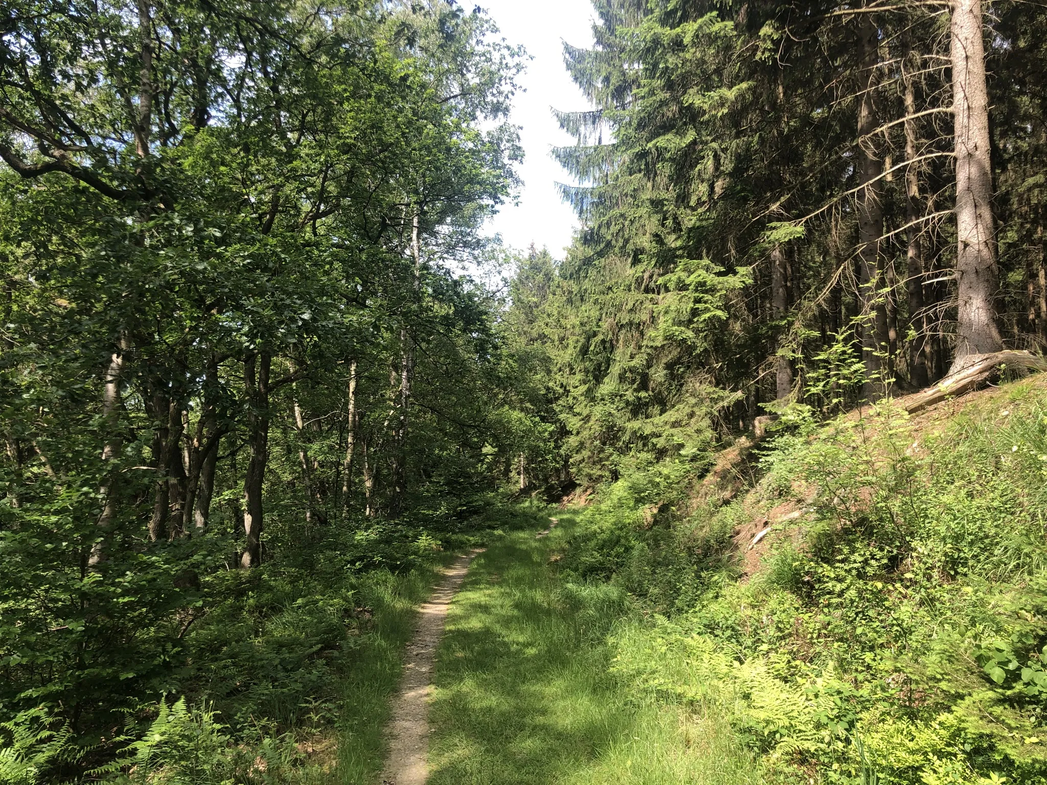
Easy hiking trails around Kronenburger Lake offer a diverse landscape within the Eifel region. The area is characterized by wooded hills, forests, and agricultural land, with the 27-hectare Kronenburger Lake at its center. Hikers can explore varied terrains, including river valleys and plateaus, providing a scenic backdrop for outdoor activities. The region features an extensive network of accessible paths suitable for easy walks.
Best easy hiking trails around Kronenburger Lake
- The most popular easy hiking route is Kronenburger Lake –…
Last updated: June 30, 2026
4.6
(178)
614
hikers
6.78km
01:51
100m
100m
Easy hike. Great for any fitness level. Easily-accessible paths. Suitable for all skill levels.
4.9
(14)
31
hikers
6.36km
01:46
110m
110m
Easy hike. Great for any fitness level. Easily-accessible paths. Suitable for all skill levels.

Sign up for free
3.9
(9)
41
hikers
4.16km
01:12
110m
110m
Easy hike. Great for any fitness level. Easily-accessible paths. Suitable for all skill levels.
4.5
(31)
104
hikers
9.88km
02:37
100m
100m
Moderate hike. Good fitness required. Easily-accessible paths. Suitable for all skill levels.
5.0
(2)
13
hikers
6.72km
01:55
150m
150m
Easy hike. Great for any fitness level. Easily-accessible paths. Suitable for all skill levels.
Get access to more routes and recommendations from other explorers.
Sign up for free
Already have an account?
Our route recommendations are based on thousands of hikes, rides, and runs completed by other people on komoot.
Start today with a free account
Your next adventure awaits.
Login or Signup
Popular around Kronenburger Lake
Other adventures around Kronenburger Lake

Tips from the Community

The Kyll is a typical Eifel river: relatively narrow, fast-flowing and very close to nature. Southeast of Kronenburg, it forms meandering floodplain landscapes with wet meadows, alder and willow stands. Precisely these sections are protected as the "Kyllaue" nature reserve because many other river sections of the Kyll have been straightened or more heavily used.
0
0

Very beautiful historic houses & alley.
0
0
The historic stone arch bridge (built in 1834) and the Brigida Chapel (built in 1736) on the river Kyll in Dahlem-Kronenburg form a unique ensemble of historical building culture in the Eifel region.
0
0

The Stone of Silence, created in 1991 by Michael Schnorbach and "dedicated to the healing silence of the land", is station 16 of the art path "KUNST am WEG".
0
0

A very beautiful old half-timbered alley.
0
0
Beautiful artwork by the roadside with a bench and a great view
0
0

It's still possible to walk on mud-free even after rainy days.
1
0
Frequently Asked Questions
How many easy hiking trails are available around Kronenburger Lake?
The Kronenburger Lake region offers a wide selection of easy hiking trails, with over 360 routes specifically categorized as easy. This extensive network ensures plenty of options for relaxed walks and gentle exploration.
What kind of terrain can I expect on easy hikes around Kronenburger Lake?
Easy hikes around Kronenburger Lake feature a diverse landscape, including forests, heath, and agricultural land. You'll find paths through idyllic river valleys, along vast plateaus, and, of course, around the picturesque lake itself. While generally accessible, some routes may have gentle elevation changes, adding variety to your walk.
Are there any family-friendly easy hikes suitable for children?
Yes, many easy trails are perfect for families. The routes often feature flat sections and scenic views, making them enjoyable for all ages. For example, the Kronenburger Lake – Kronenburg Lake Dam loop from Kronenburg is a gentle 2.8-mile path that stays close to the lake, ideal for a family outing.
Can I bring my dog on the easy hiking trails?
Most easy hiking trails around Kronenburger Lake are dog-friendly, allowing you to enjoy the natural beauty with your canine companion. Always remember to keep your dog on a leash and clean up after them to preserve the environment for everyone.
What interesting landmarks or natural features can I see on these easy hikes?
Easy hikes in the area offer views of several notable landmarks and natural features. You can explore the historic Kronenburger Lake, discover the medieval charm of the Kronenburg Castle Ruins, or walk along the unique Dahlem Moor Boardwalk. The Stone of Silence – Ohmbach Footbridge loop from Kronenburg is an easy path that takes you through varied natural areas.
Are there any circular easy hiking routes around Kronenburger Lake?
Yes, many easy trails are designed as circular routes, allowing you to start and end at the same point. A popular option is the Kronenburger Lake – Kronenburger Gasse loop from Hallschlag, which is 4.2 miles long and offers beautiful lake views.
Where can I park when hiking around Kronenburger Lake?
Parking is generally available at key access points around Kronenburger Lake and in nearby villages like Kronenburg and Hallschlag. Specific parking information can often be found on individual route pages on komoot, or by checking local signage upon arrival.
What is the best time of year to go for an easy hike in this region?
The Kronenburger Lake region is beautiful year-round for easy hikes. Spring brings blooming flora, summer offers pleasant temperatures for lakeside walks, and autumn transforms the landscape with vibrant colors, providing stunning views of the Eifel scenery. Even in winter, gentle walks can be enjoyed, though conditions may vary.
What do other hikers enjoy most about the easy trails around Kronenburger Lake?
The area is highly rated by the komoot community, with an average score of 4.6 stars from over 6,100 reviews. Hikers often praise the well-maintained paths, the serene lake views, the historical sites like Kronenburg Castle, and the overall accessibility of the trails for a relaxed outdoor experience.
Are there any easy routes that explore the Kyll river area?
Yes, some easy routes venture towards the Kyll river. For instance, the Kronenburg Lake Dam – Kyll Floodplain loop from Kronenburgerhütte is an easy 3.9-mile trail that leads through the Kyll Floodplain, offering a different natural perspective of the region.
Are there any facilities like cafes or restaurants near the easy hiking trails?
Yes, you'll find amenities such as cafes and restaurants in the villages surrounding Kronenburger Lake, particularly in Kronenburg. The Lake Terrace Restaurant & Lakeside Recreation Area is a notable spot right by the lake, perfect for a break during or after your hike.
How long do easy hikes around Kronenburger Lake typically take?
The duration of easy hikes varies depending on the route length and your pace. Many easy trails, like the 2.8-mile Kronenburger Lake – Kronenburg Lake Dam loop from Kronenburg, can be completed in about 1 hour 10 minutes. Longer easy routes, such as the 4.2-mile Kronenburger Lake – Kronenburger Gasse loop from Hallschlag, typically take around 1 hour 50 minutes.
Most popular routes around Kronenburger Lake
Most popular attractions around Kronenburger Lake

Get inspired with the komoot mobile app


Explore more
Browse the best Hikes in other regions.
