Easy hikes and walks around Tappenkarsee
4.8
(5309)
28,336
hikers
174
hikes
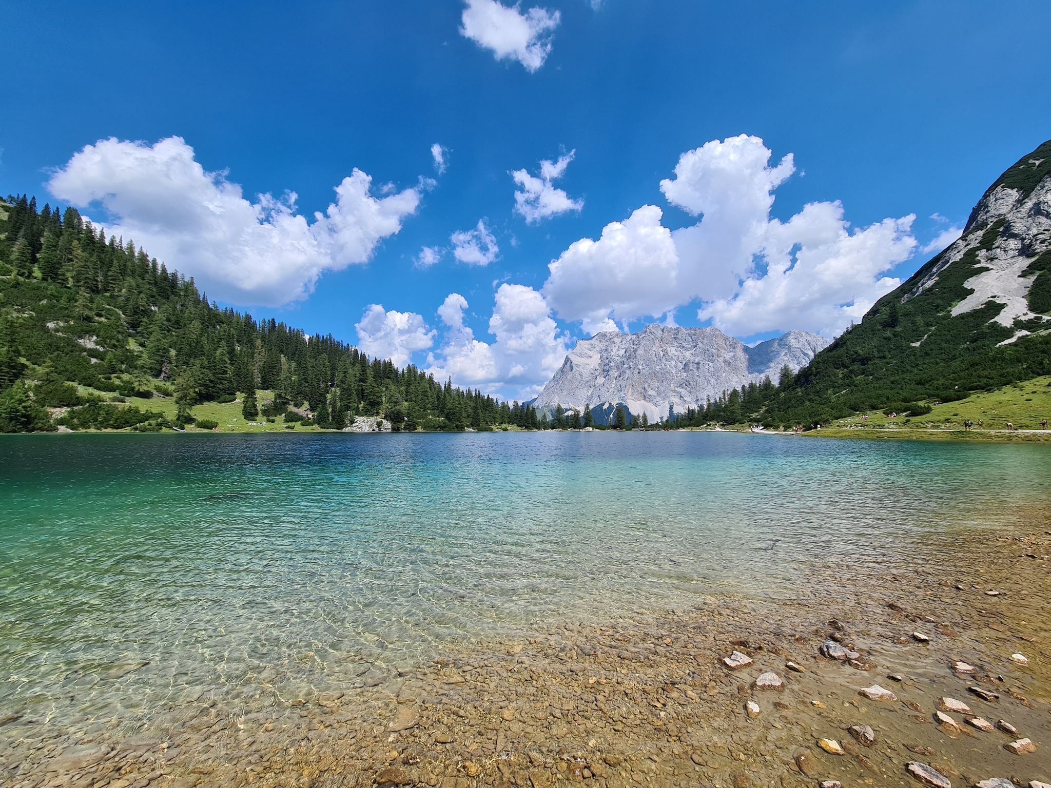
Easy hiking trails around Tappenkarsee are set within the Radstädter Tauern Mountains, characterized by a large alpine lake, surrounding peaks, and diverse forests. The region features the Tappenkarsee lake at approximately 1,800 meters above sea level, nestled within an alpine cirque. Hiking terrain includes paths through varied forests, over footbridges, and across alpine meadows, with some routes offering views of waterfalls and smaller streams. The landscape provides a range of elevation changes, from gentle lakeside paths to more ascending routes…
Last updated: June 30, 2026
4.5
(114)
407
hikers
Easy hike. Great for any fitness level. Easily-accessible paths. Suitable for all skill levels.
4.6
(89)
442
hikers
6.38km
01:45
100m
100m
Easy hike. Great for any fitness level. Easily-accessible paths. Suitable for all skill levels.

Sign up for free
4.8
(89)
619
hikers
2.23km
00:35
20m
20m
Easy hike. Great for any fitness level. Easily-accessible paths. Suitable for all skill levels.
4.5
(19)
107
hikers
Easy hike. Great for any fitness level. Easily-accessible paths. Suitable for all skill levels.
4.7
(3)
26
hikers
3.40km
00:52
10m
10m
Easy hike. Great for any fitness level. Easily-accessible paths. Suitable for all skill levels.
Get access to more routes and recommendations from other explorers.
Sign up for free
Already have an account?
Our route recommendations are based on thousands of hikes, rides, and runs completed by other people on komoot.
Start today with a free account
Your next adventure awaits.
Login or Signup
Popular around Tappenkarsee
Other adventures around Tappenkarsee

Tips from the Community


Parking is free here too, which makes it uncomplicated.
6
0

Very nicely done really great
0
0

Frequently Asked Questions
How many easy hiking trails are there around Tappenkarsee?
The Tappenkarsee region offers a wide variety of hiking experiences, with over 175 routes in total. Among these, you'll find 18 easy hiking trails specifically curated for a more relaxed experience, perfect for enjoying the stunning alpine scenery without significant challenge.
What is the best time of year for easy hikes around Tappenkarsee?
The ideal time for easy hiking around Tappenkarsee is generally between mid-June and early October. During this period, trails are typically snow-free, and the mountain huts like Tappenkarsee Alm and Tappenkarseehütte are open, offering refreshments and a place to rest. You'll also experience lush green landscapes and vibrant wildflowers.
Are there any easy circular hiking routes near Tappenkarsee?
Yes, several easy circular routes allow you to experience the beauty of the area. For instance, the Mountain Panorama in Salzburg – View of the Fischweiher Pond loop from Hofwand is a 5 km trail offering scenic views. Another popular option is the View of Jägersee – West view of the Jägersee loop from Kleinarltal, a 7.3 km route around the beautiful Jägersee.
What natural features can I expect to see on easy hikes around Tappenkarsee?
Easy hikes around Tappenkarsee offer a diverse range of natural beauty. You'll encounter the deep blue Tappenkarsee Lake itself, surrounded by rugged peaks. Many trails pass through varied forests of pine, beech, and larch, cross wooden footbridges over streams like the Kleinarlbach, and offer views of impressive waterfalls, such as the Riesach Wasserfall.
Are the easy hiking trails around Tappenkarsee suitable for families?
Absolutely. The easy trails are well-suited for families, offering manageable distances and minimal elevation gain. The circular route around Jägersee, for example, is a comfortable 45-minute walk, providing an additional scenic attraction that families often enjoy. Routes like the West view of the Jägersee – View of Jägersee loop from Hofwand are particularly gentle.
Can I bring my dog on the easy hiking trails?
The Tappenkarsee region is generally dog-friendly, with many trails suitable for walking with your canine companion. It's always advisable to keep dogs on a leash, especially in areas with grazing livestock or wildlife. Please ensure you carry water for your dog and clean up after them to preserve the natural environment.
Are there places to eat or rest along the easy hiking routes?
Yes, for refreshments and rest, you can visit the rustic Tappenkarsee Alm and the charming Tappenkarseehütte, an Austrian Alpine Club hut. These huts are typically open from early June to mid/late September and provide food and drinks, offering a perfect stop during your hike.
What are the parking options for accessing easy hikes around Tappenkarsee?
For shorter and easier access to the Tappenkarsee area, you can drive to the Schwabalm car park via a toll road. This allows you to start your hike closer to the lake, reducing the overall distance and elevation gain compared to starting from Jägersee.
What do other hikers enjoy most about easy hiking in Tappenkarsee?
The Tappenkarsee area is highly rated by the komoot community, with an average score of 4.8 stars from over 5,100 reviews. Hikers often praise the breathtaking alpine scenery, the crystal-clear Tappenkarsee lake, and the well-marked paths that make for an enjoyable and accessible outdoor experience.
Are there any easy routes that offer views of the Jägersee?
Yes, the Jägersee is a beautiful glacial lake that serves as a starting point for many hikes. An easy route that provides excellent views is the West view of the Jägersee – View of Jägersee loop from Hofwand, a short 2.2 km path with minimal elevation gain, perfect for enjoying the lake's serene beauty.
How long do easy hikes around Tappenkarsee typically take?
The duration of easy hikes varies, but many can be completed within a few hours. For example, the Mountain Panorama in Salzburg – View of the Fischweiher Pond loop from Hofwand takes approximately 1 hour 32 minutes, while the Talwirt Inn – Valley Museum 'On the Alpine Pasture' loop from Hierzeck can be completed in about 52 minutes.
Are there any easy trails that pass by a pond or smaller lake?
Yes, you can find easy trails that offer views of smaller water bodies. The Mountain Panorama in Salzburg – View of the Fischweiher Pond loop from Hofwand is a great option, providing views of the Fischweiher Pond amidst the mountain landscape.
Most popular routes around Tappenkarsee

Get inspired with the komoot mobile app


Explore more
Browse the best Hikes in other regions.
