Easy hikes and walks around the Tajo
4.4
(1182)
8,360
hikers
323
hikes
Easy hiking trails around the Tajo traverse a diverse landscape shaped by the Tagus River, featuring dramatic river valleys, extensive Mediterranean forests, and unique geological formations. The region is characterized by deep canyons, such as those in Alto Tajo Natural Park, and areas with cork and holm oak forests. Hikers can encounter quartzite ridges, sandstone cliffs, and striking red clay cliffs like those at Barrancas de Burujón.
Best easy hiking trails around the Tajo
- The most popular easy hiking route…
Last updated: August 17, 2026
4.7
(16)
138
hikers
5.50km
01:35
130m
130m
Easy hike. Great for any fitness level. Easily-accessible paths. Suitable for all skill levels.
5.0
(3)
10
hikers
7.56km
01:56
20m
20m
Easy hike. Great for any fitness level. Easily-accessible paths. Suitable for all skill levels.

Sign up for free
3.0
(1)
2
hikers
Easy hike. Great for any fitness level. Easily-accessible paths. Suitable for all skill levels.
1
hikers
5.24km
01:20
20m
20m
Easy hike. Great for any fitness level. Easily-accessible paths. Suitable for all skill levels.
2.0
(1)
1
hikers
5.91km
01:45
180m
180m
Easy hike. Great for any fitness level. Easily-accessible paths. Suitable for all skill levels.
5.33km
01:23
30m
30m
Easy hike. Great for any fitness level. Easily-accessible paths. Suitable for all skill levels.
5.20km
01:27
90m
90m
Easy hike. Great for any fitness level. Easily-accessible paths. Suitable for all skill levels.
4.3
(7)
109
hikers
4.24km
01:11
80m
80m
Easy hike. Great for any fitness level. Easily-accessible paths. Suitable for all skill levels.
5.0
(5)
23
hikers
6.32km
01:44
100m
100m
Easy hike. Great for any fitness level. Easily-accessible paths. Suitable for all skill levels.
4.0
(1)
29
hikers
2.49km
00:42
50m
50m
Easy hike. Great for any fitness level. Easily-accessible paths. Suitable for all skill levels.
Get access to more routes and recommendations from other explorers.
Sign up for free
Already have an account?
Our route recommendations are based on thousands of hikes, rides, and runs completed by other people on komoot.
Start today with a free account
Your next adventure awaits.
Login or Signup
Popular around Tajo
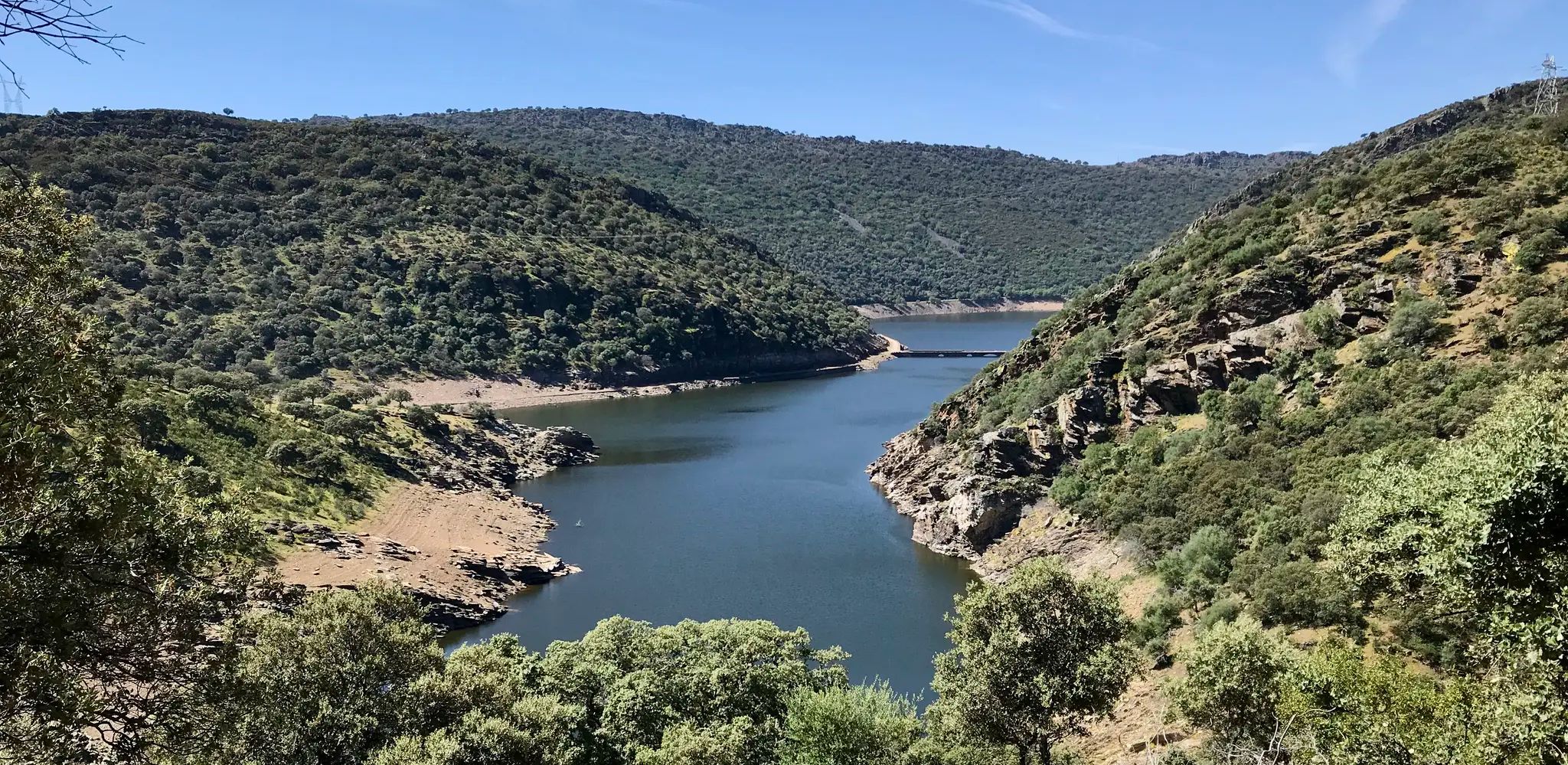
Toledo to Cedillo – Camino Natural del Tajo West

Albarracín to Toledo – Eastern Tagus Nature Trail
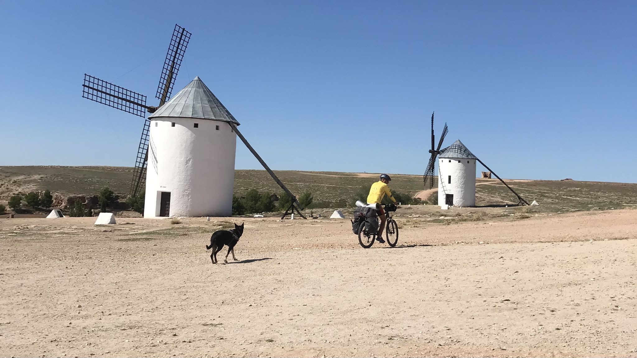
Don Quixote's route – The knight of the sorry face

Around the World in 80 Days
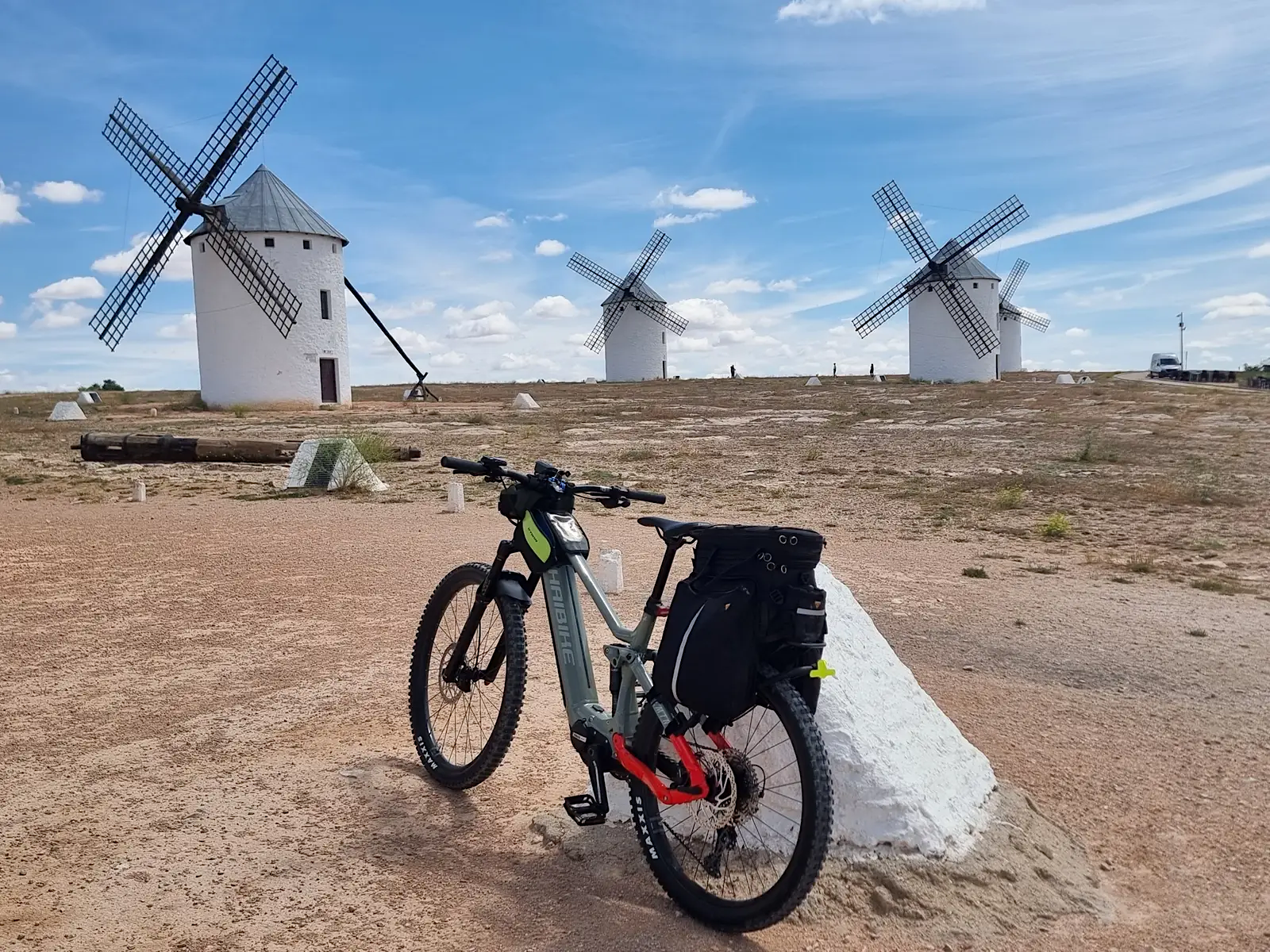
Route of Don Quixote – cycling between rivers, lagoons and hills
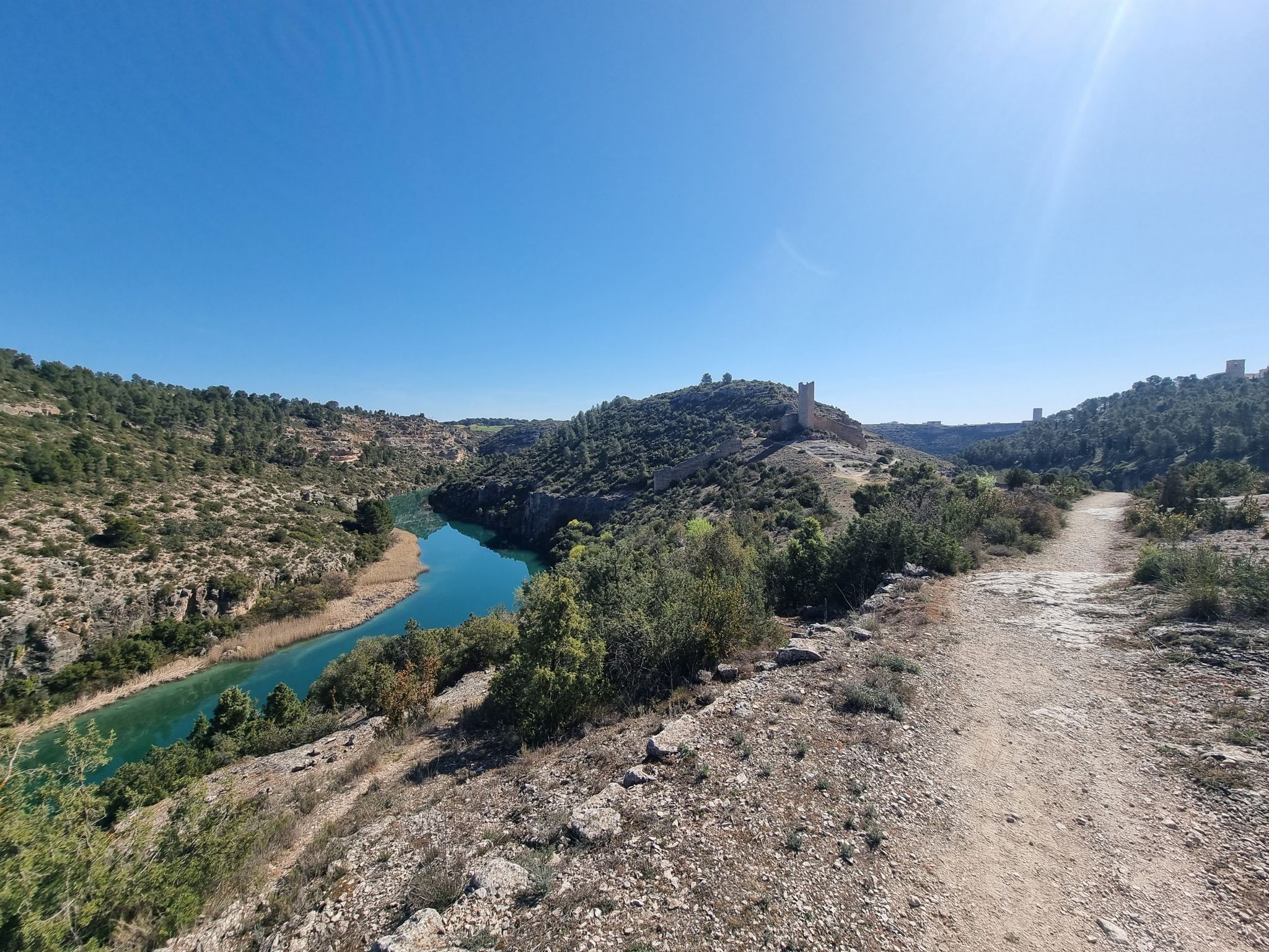
A gravel bike adventure between Madrid and Valencia
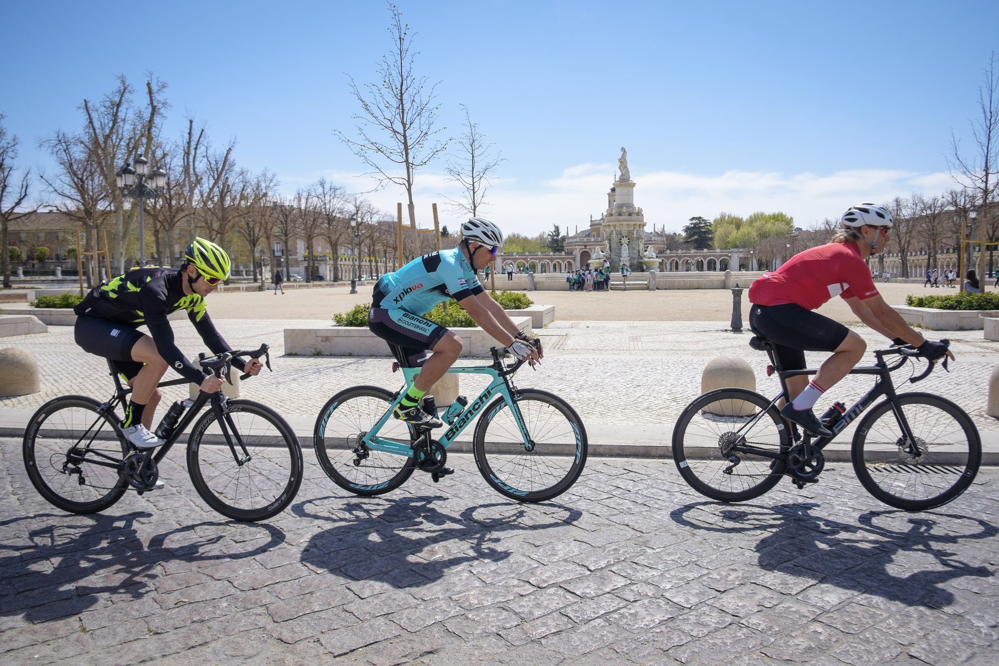
Ports, countryside and rivers – Tour of Madrid by road bike
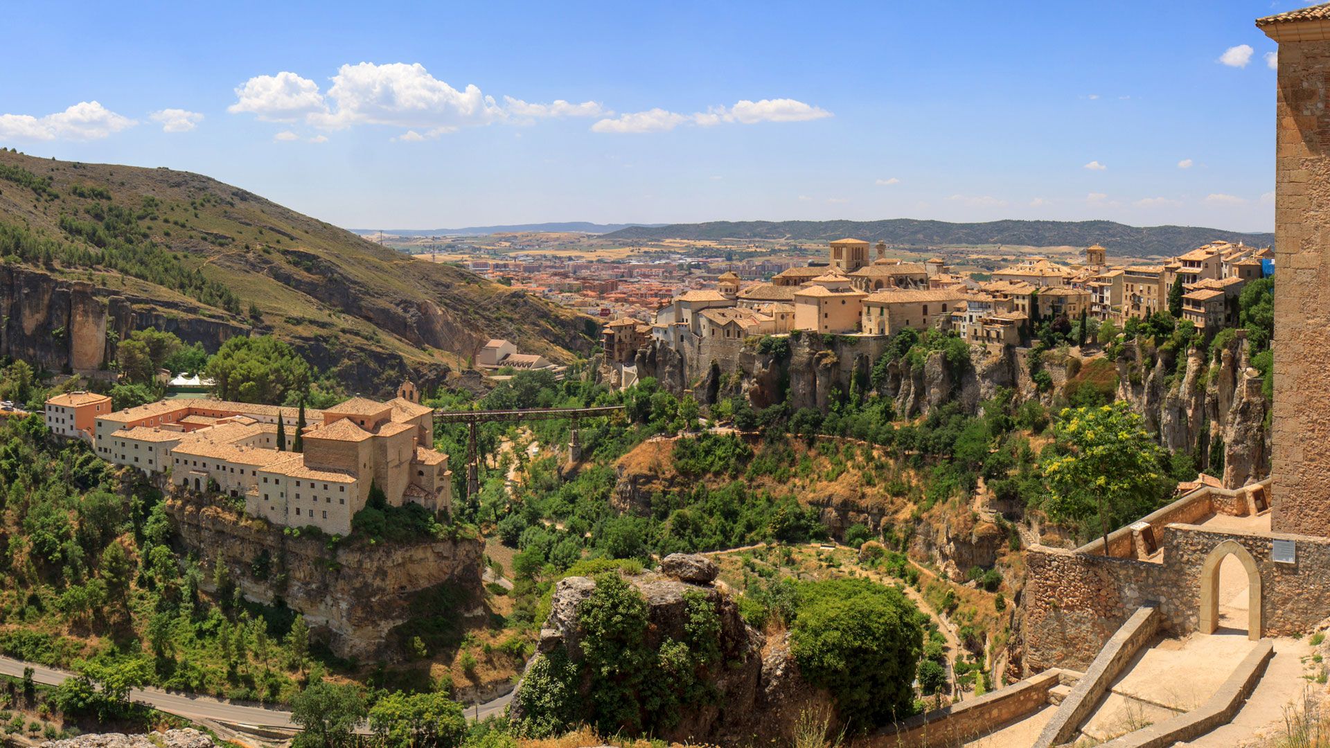
Levante to Castile – Ruta de la Lana Gravel Route
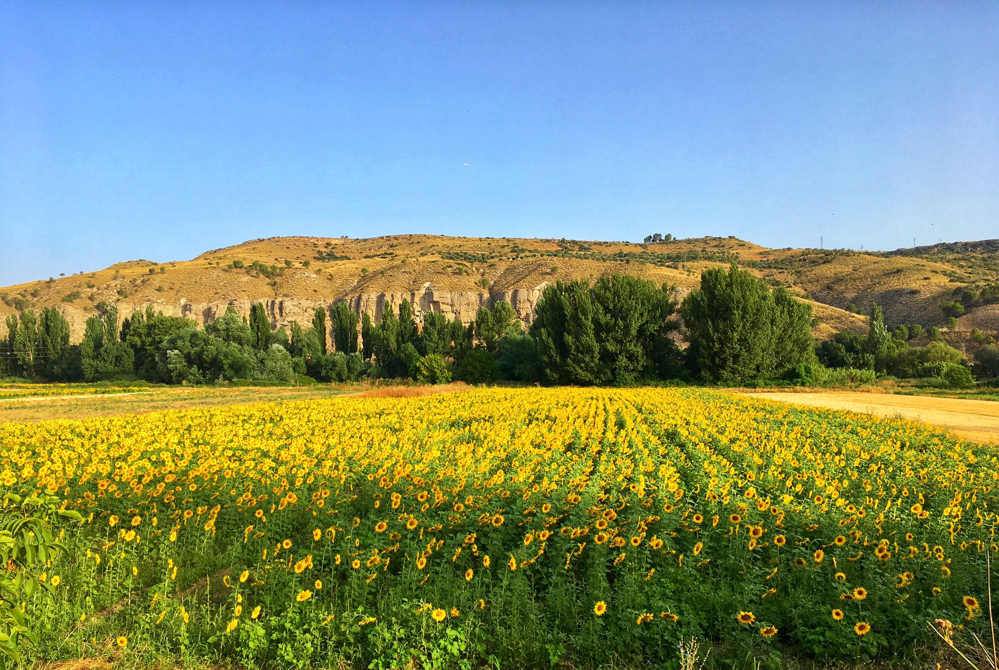
Palaces, rivers and fields — Las Vegas de Madrid gravel tour
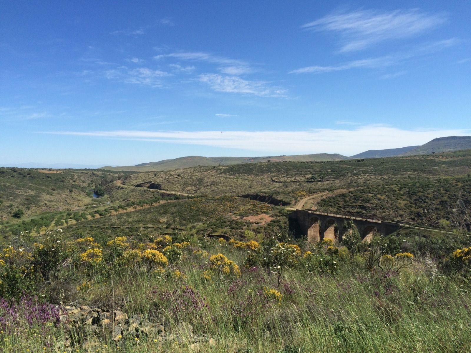
A gravel pilgrimage – Toledo to Guadalupe (GR 166)
Other adventures around the Tajo


Tips from the Community


That a place on the Iberian Peninsula is listed among the three most famous pilgrimage destinations in the Christian world – along with Jerusalem and Rome – is thanks to one of Jesus' apostles, who is said to have preached here. After his martyrdom, about which the Acts of the Apostles report very briefly, his body miraculously found its final resting place here: Saint James the Greater. A small local shrine was initially built over his tomb, later a city developed, which even bears his name (Santiago de Compostela), and the church in his honor became a cathedral, i.e. a bishop's church. According to national legends, Saint James also played a significant role in the Reconquista of the Iberian Peninsula from the Moors and is the patron saint of Spain.
0
0


It is located on Corredera del Cristo Street, near the Plaza del Reloj (Clock Square), in the old town of Talavera de la Reina, Toledo. It is visible from the street, and it is common for passersby to cross themselves as they pass by, continuing a deeply rooted popular tradition.
12
0
The chapel forms part of an albarrana tower, one of the defensive structures of Talavera's first walled enclosure, later converted for religious use. Its Rococo altarpiece is particularly noteworthy, housing the carving of Christ of the Merchants, a symbol of devotion especially among the merchant guild. The base features granite pieces with coats of arms, possibly belonging to the Maldonado lineage, although their exact provenance remains a subject of debate.
14
0
The Basilica of Our Lady of the Prado is located in Talavera de la Reina. The church was built in the 16th century in the Renaissance style, on the foundations of an old Mudéjar temple. Tradition holds that it was a Roman temple where the goddess Ceres was worshipped, Christianized in 602 by Liuva II to house the image of Our Lady of the Prado, who is now the city's patron saint. Known as the Queen of Hermitages by Philip II, it is also called the "Sistine Chapel" of ceramics, as this vibrant art form has been displayed here in all its splendor from the 16th century to the present day.
16
0
The La Caprichosa bullring, a mecca for bullfighting, is located next to the Basilica of Prado and the Alameda Park.
11
0
The history of this bridge dates back to 1870, although its construction did not begin until the beginning of the last century, in 1904. Its inauguration in 1908 was a major milestone for the city, which saw its communications with the historic region of La Jara, Extremadura and Andalusia improve.
14
0
Frequently Asked Questions
How many easy hiking trails are available in the Tajo region?
The Tajo region offers a wide selection of easy hiking trails. There are over 110 easy routes available, making it a great destination for relaxed walks and gentle exploration.
What do other hikers say about the easy trails in the Tajo region?
The easy trails in the Tajo region are highly regarded by the komoot community, with an average rating of 4.5 stars from over 700 reviews. Hikers often praise the diverse landscapes, from dramatic river valleys to Mediterranean forests, and the unique geological formations.
What is the best time of year to enjoy easy hikes along the Tajo River?
The Tajo region is enjoyable for hiking throughout much of the year. Spring and autumn offer pleasant temperatures and vibrant scenery, with blooming wildflowers in spring and rich colors in autumn. Summers can be hot, but early mornings or late afternoons are still suitable for easy, shaded trails. Winters are generally mild, making it possible to hike year-round.
Are there any easy circular hiking routes in the Tajo region?
Yes, the Tajo region features several easy circular routes perfect for a relaxed day out. One such option is the Our Lady of Tremedal Trail, which offers a pleasant 3.7-mile (5.9 km) loop through varied terrain.
Can I find easy trails that offer scenic viewpoints of the Tajo River?
Absolutely. Many easy trails in the Tajo region provide stunning vistas. For example, the Enebros Viewpoint loop from Río Las Cabreras is an easy 2.6-mile (4.2 km) route that leads to the beautiful Enebros Viewpoint, offering panoramic views of the river and surrounding landscape.
Are there any easy hikes that pass by historical landmarks or interesting sites?
Yes, the Tajo region is rich in history. The Puente de Alcántara Trail is an easy 3.2-mile (5.2 km) route that takes you past the historic Alcántara Bridge. Another option is the Toledo Alcázar – Toledo Cathedral loop from Toledo, an easy 3.7-mile (6 km) urban hike that showcases the city's iconic landmarks.
Are there any waterfalls accessible on easy hiking trails in the Tajo region?
While many waterfalls in the Tajo region require more challenging hikes, some areas like Alto Tajo Natural Park feature accessible spots. The Garganta del Fraile is a notable waterfall in the region, and while specific easy trails directly to it might vary, the general area offers scenic river walks.
Are the easy hiking trails in the Tajo region suitable for families with children?
Many easy trails in the Tajo region are well-suited for families. They typically feature gentle gradients and well-maintained paths. Routes like the Tajo Natural Trail, an easy 3.3-mile (5.2 km) path, offer a pleasant experience for all ages, often following the riverbanks with engaging scenery.
Are dogs allowed on the easy hiking trails around the Tajo?
Generally, dogs are welcome on many hiking trails in the Tajo region, especially on public paths and in natural parks, provided they are kept on a leash and owners clean up after them. However, specific regulations can vary by protected area, such as Monfragüe National Park, so it's always best to check local park rules before you go.
Are there options for public transport to reach easy hiking trails in the Tajo region?
Public transport options to reach trailheads in the Tajo region can vary. Major towns like Toledo and Talavera de la Reina are well-connected by bus and train, and some local bus services may reach smaller villages near trail access points. For more remote areas, a car is often recommended for convenience. Always check local transport schedules in advance.
Where can I find parking for easy hiking trails in the Tajo region?
Many popular easy hiking trails in the Tajo region, especially those near towns or natural park entrances, offer designated parking areas. For example, trails around Barrancas de Burujón or near the Jardín del Príncipe often have accessible parking. It's advisable to check the specific route details on komoot for information on parking availability at the trailhead.
Are there any less crowded easy hikes in the Tajo region?
To find less crowded easy hikes, consider exploring trails slightly off the main tourist routes or visiting during off-peak seasons (outside of summer holidays or popular weekends). The vastness of areas like Alto Tajo Natural Park means there are many serene paths to discover beyond the most well-known spots. Early mornings are also a good time to enjoy tranquility.
What kind of natural features can I expect to see on easy Tajo hikes?
Easy Tajo hikes showcase a diverse range of natural features. You'll encounter dramatic river valleys and canyons, extensive Mediterranean forests with cork and holm oaks, and unique geological formations like quartzite ridges and sandstone cliffs. The Barrancas de Burujón, for instance, offers striking red clay cliffs carved by the river.
Most popular routes around the Tajo
Most popular attractions around the Tajo

Get inspired with the komoot mobile app


Explore more
Browse the best Hikes in other regions.
