Easy hikes and walks in Unterallgäu
4.5
(6773)
29,624
hikers
2,239
hikes
Easy hiking trails in Unterallgäu traverse a landscape characterized by rolling hills, wide valleys, and extensive meadows. The region features ancient moraine landscapes shaped by glaciers, natural moors, and numerous water features including rivers, streams, and small lakes. Green forests provide shaded paths, contributing to the picturesque scenery. This diverse terrain offers accessible paths suitable for relaxed hiking.
Best easy hiking trails in Unterallgäu
- The most popular easy hiking route is Glücksmomente (Moments of happiness) loop - feel the vastness:…
Last updated: August 26, 2026
4.6
(107)
364
hikers
Easy hike. Great for any fitness level. Easily-accessible paths. Suitable for all skill levels.
4.7
(62)
201
hikers
Easy hike. Great for any fitness level. Easily-accessible paths. Suitable for all skill levels.

Sign up for free
4.7
(50)
162
hikers
Easy hike. Great for any fitness level. Easily-accessible paths. Suitable for all skill levels.
3.0
(1)
2
hikers
1.28km
00:19
0m
0m
Easy hike. Great for any fitness level. Easily-accessible paths. Suitable for all skill levels.
4.6
(121)
502
hikers
5.36km
01:21
10m
10m
Easy hike. Great for any fitness level. Easily-accessible paths. Suitable for all skill levels.
4.7
(49)
187
hikers
Easy hike. Great for any fitness level. Easily-accessible paths. Suitable for all skill levels.
4.6
(56)
206
hikers
6.63km
01:41
10m
10m
Easy hike. Great for any fitness level. Easily-accessible paths. Suitable for all skill levels.
4.7
(55)
224
hikers
6.76km
01:49
80m
80m
Easy hike. Great for any fitness level. Easily-accessible paths. Suitable for all skill levels.
4.6
(81)
328
hikers
6.86km
01:53
110m
110m
Easy hike. Great for any fitness level. Easily-accessible paths. Suitable for all skill levels.
4.7
(49)
221
hikers
Easy hike. Great for any fitness level. Easily-accessible paths. Suitable for all skill levels.
Get access to more routes and recommendations from other explorers.
Sign up for free
Already have an account?
Our route recommendations are based on thousands of hikes, rides, and runs completed by other people on komoot.
Start today with a free account
Your next adventure awaits.
Login or Signup
Popular around Unterallgäu
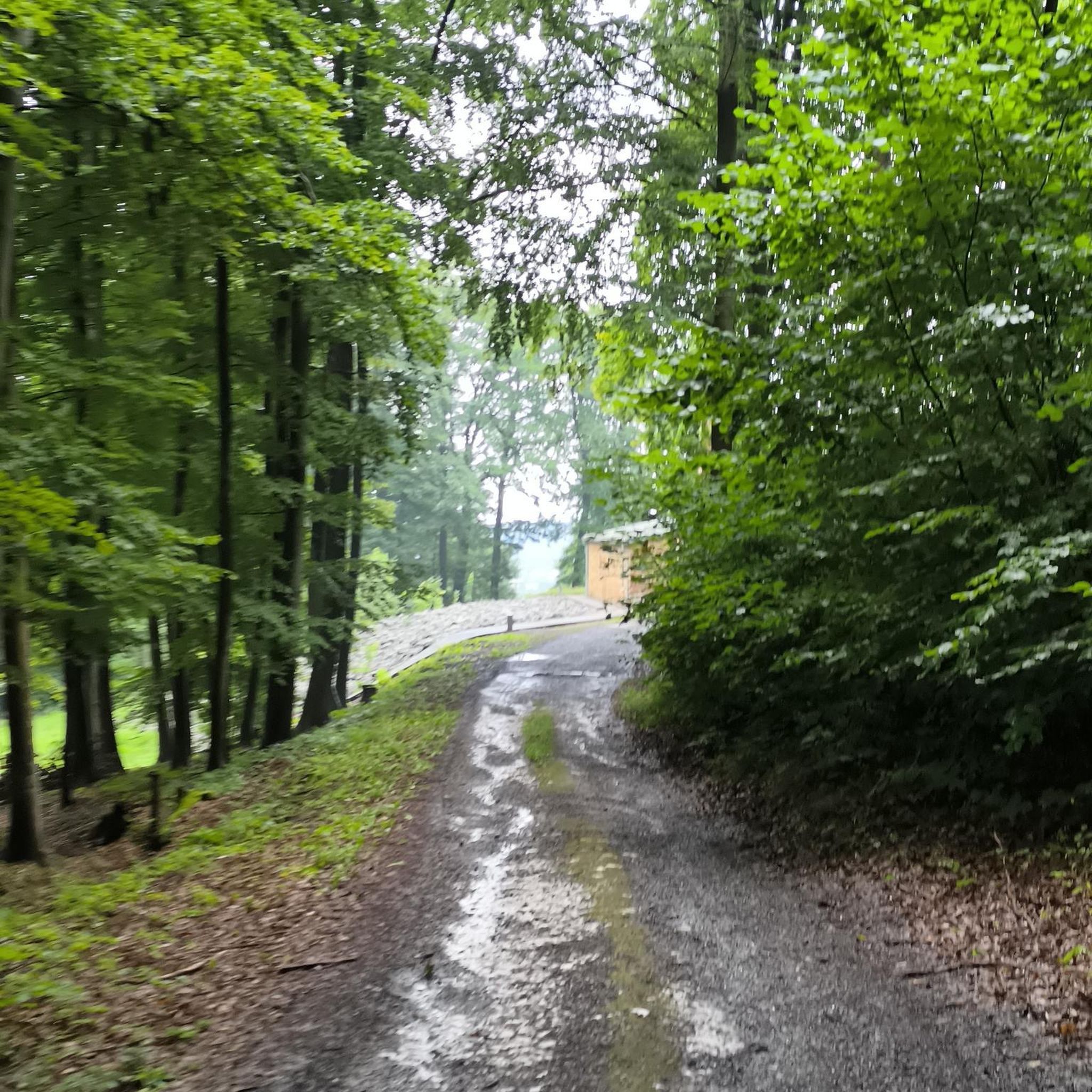
Easy hikes around Bad Wörishofen
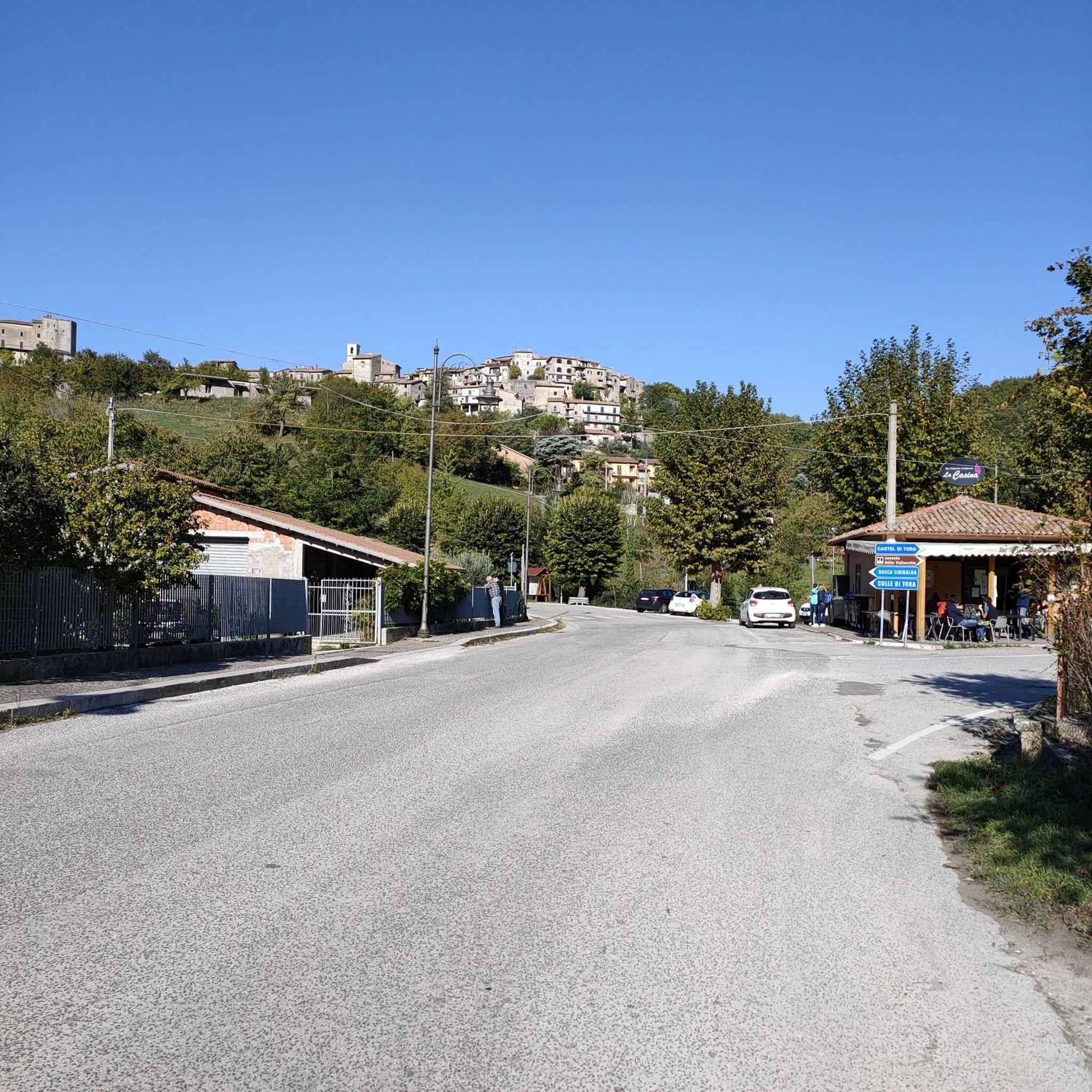
Easy hikes around Mindelheim
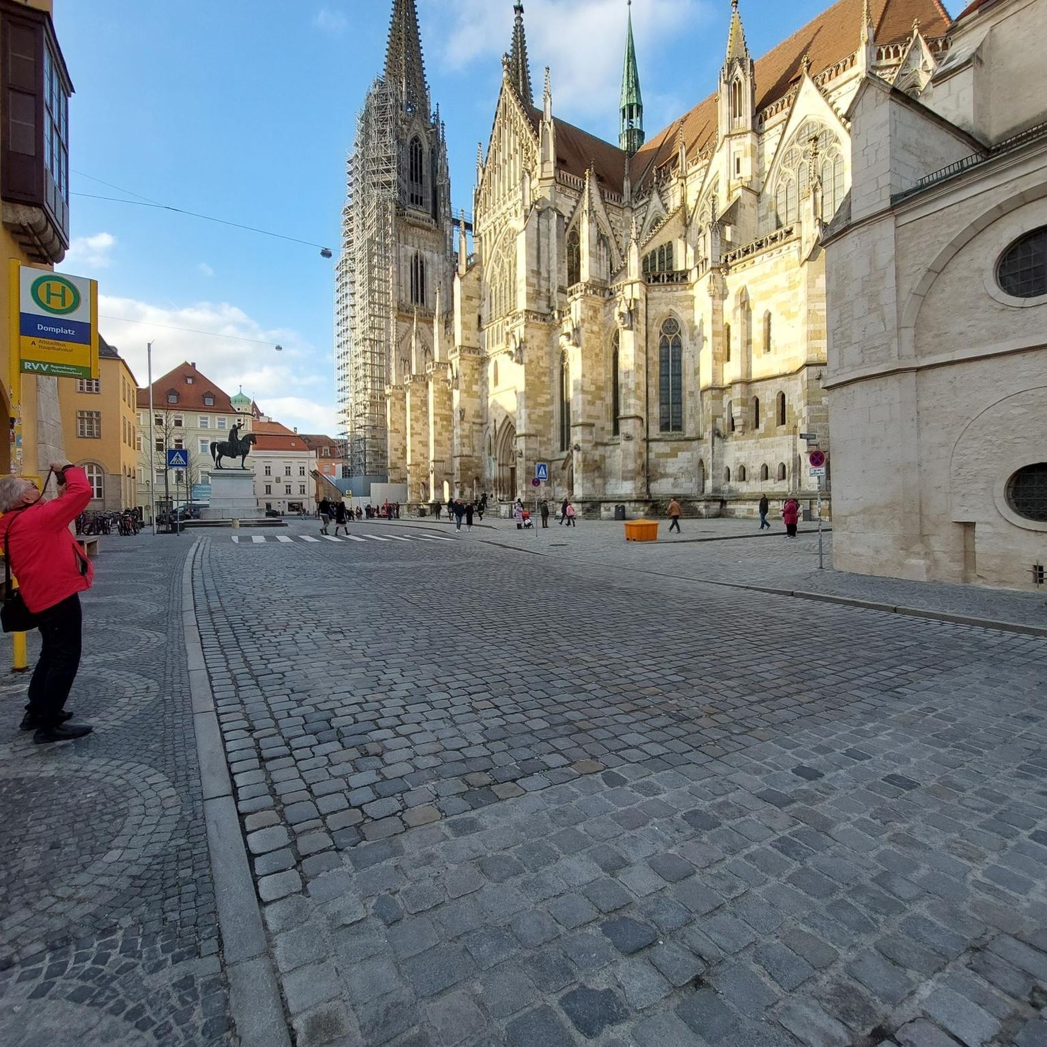
Easy hikes around Bingstetter Lake
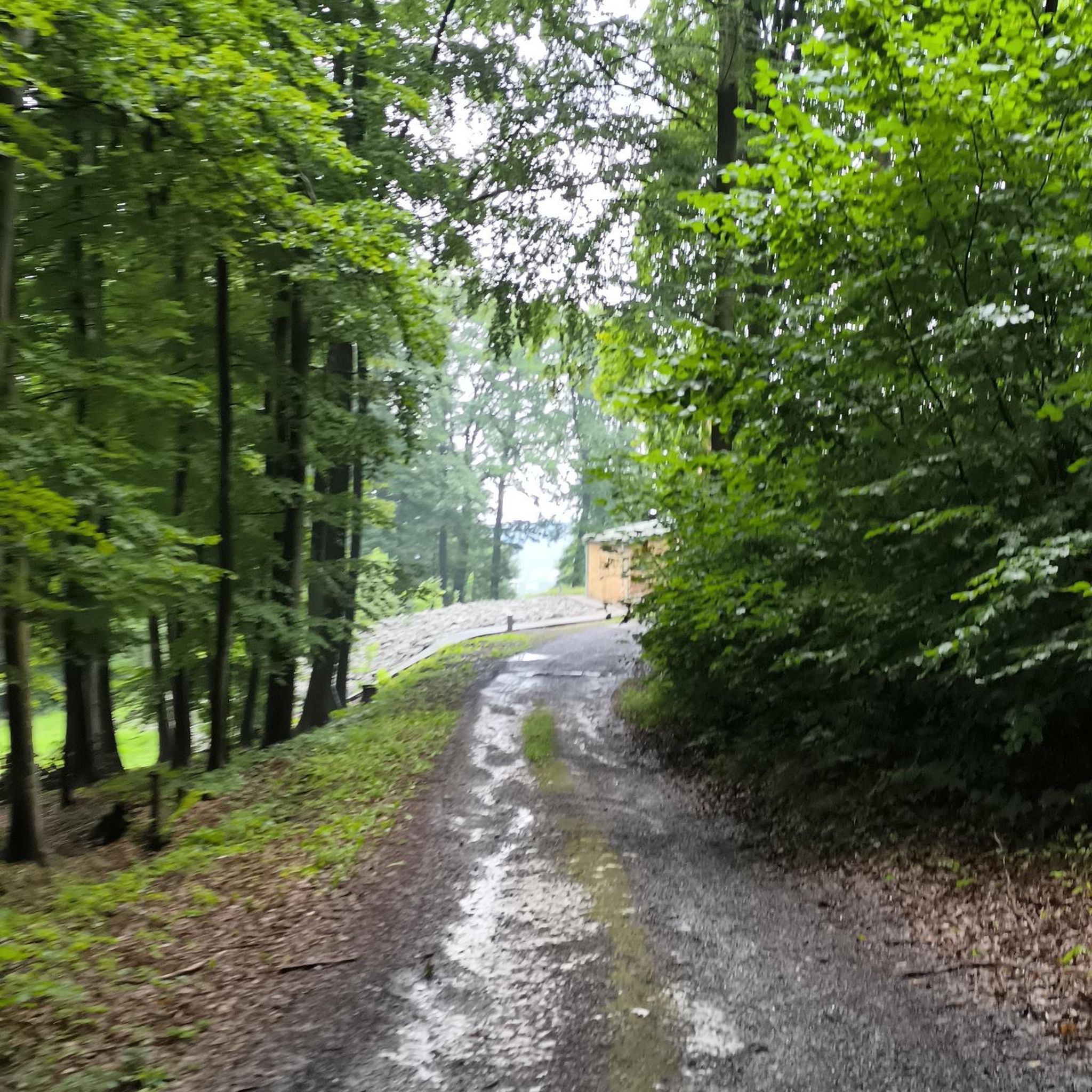
Easy hikes around Irsingener Lake
Easy hikes in Wörishofener Wald

Easy hikes in Ungerhauser Wald

Easy hikes in Otterwald
Easy hikes in Memminger Stadtwald

Easy hikes around Frankenhofner Lake

Easy hikes in Mindelheimer Stadtwald
Other adventures in Unterallgäu


Tips from the Community

The tree with the swing is located at the Waldcafé, 570 m from the top on the slope at the edge of the forest
0
0
there is no forest cafe here, the forest cafe is located up on the slope at the edge of the forest, 570 m from here
0
1

It's not quite as busy here as on the main path, but very beautiful.
0
0
A steep climb that is rewarded with a beautiful view.
0
0

The wooden staircase is one of the most beautiful sections amidst the stunning natural surroundings. Sturdy footwear is recommended for the hike, and extra caution is advised, especially in wet weather.
1
0

Beautiful, old steel bridge bathed in winter sun
0
0

Frequently Asked Questions
How many easy hiking trails can I find in Unterallgäu?
Unterallgäu offers a wide selection of easy hiking trails, with over 1,300 routes available. These paths are designed for relaxed hiking, traversing the region's characteristic hilly terrain, wide valleys, and extensive meadows.
What kind of terrain can I expect on easy hikes in Unterallgäu?
Easy hikes in Unterallgäu feature a diverse landscape of rolling hills, wide valleys, and extensive meadows. You'll encounter ancient moraine landscapes shaped by glaciers, natural moors, and numerous water features like rivers, streams, and small lakes. Green forests provide shaded paths, making for picturesque and accessible walks.
Are there any easy circular walks in Unterallgäu?
Yes, many easy trails in Unterallgäu are circular. For example, the Glücksmomente (Moments of happiness) loop around Bad Grönenbach is a popular choice, offering a pleasant 4.3-mile (7.0 km) walk. Another option is the Lucky coins loop near Mindelheim, which is 4.0 miles (6.5 km) and leads through varied natural landscapes.
What are some interesting landmarks or attractions to see along easy hiking trails?
Many easy trails pass by notable attractions. In Ottobeuren, the Glücksplaneten (Happy planet) trail features eleven conglomerate pillars representing the solar system. You can also visit the Ottobeuren Market Square and Basilica. Near Illerbeuren, you might spot the Former railroad bridge. Bad Wörishofen offers the Spa Park, known for its Kneipp facilities.
Are there family-friendly easy hikes in Unterallgäu?
Absolutely. The region is well-suited for families, with many easy trails offering gentle gradients and engaging features. The Kneipp Forest Trail in Bad Wörishofen, for instance, is an adventure trail designed to introduce children to the health teachings of Sebastian Kneipp in a natural setting. The Glücksplaneten trail in Ottobeuren, with its solar system pillars, also provides an educational and fun experience for all ages.
What do other hikers say about the easy trails in Unterallgäu?
The easy trails in Unterallgäu are highly regarded by the komoot community, holding an average rating of 4.5 stars from over 5,400 reviews. Hikers often praise the region's picturesque scenery, well-maintained paths, and the variety of landscapes, from open meadows to tranquil forests and charming water features.
Are there any easy hikes that feature lakes or water views?
Yes, Unterallgäu is rich in water features. The View of Oberrieder Weiher – Long Fish Ladder loop from Stockheim offers lovely lake views. Another option is the Himmelsteiche Ponds – Water Lily Pond loop from Buxach, which takes you past serene ponds. The region's 'Wasserläufer Route' also highlights numerous small lakes, waterways, and waterfalls.
Can I find easy hikes with cafes or places to eat nearby?
Many towns in Unterallgäu, such as Bad Grönenbach, Ottobeuren, and Bad Wörishofen, offer cafes and restaurants that are easily accessible from various easy hiking trails. For example, the Glücksmomente loop starts and ends in Bad Grönenbach, where you can find dining options.
What is the best season for easy hiking in Unterallgäu?
Unterallgäu is enjoyable for easy hiking throughout much of the year. Spring brings blooming meadows, while summer offers lush green forests and pleasant temperatures. Autumn showcases vibrant fall foliage, making it a particularly scenic time. Even in winter, many easy paths are accessible for a refreshing walk, though conditions may vary.
Are there any easy hikes that offer views of the Iller River?
Yes, the Iller River is a prominent feature in the region. The View of the Iller Dam – View of the Iller River at Rotkreuz loop from Illerwinkel provides excellent opportunities to enjoy the river's scenery and the surrounding landscape.
Are there short, easy walks suitable for a quick outing?
For a shorter, easy outing, consider the Mindelheim audio tour, which is just 0.8 miles (1.3 km) long. Many other easy trails are also relatively short, typically ranging from 3 to 5 miles (5 to 8 km), making them perfect for a quick and refreshing walk.
What kind of elevation gain can I expect on easy hikes in Unterallgäu?
Easy hikes in Unterallgäu are characterized by gentle, rolling terrain, meaning the elevation gain is generally moderate. For instance, the Glücksmomente loop has an elevation gain of about 392 feet (120 meters) over 4.3 miles, which is manageable for most hikers seeking a relaxed experience.
Most popular routes in Unterallgäu
Most popular attractions in Unterallgäu

Get inspired with the komoot mobile app


Didn’t find what you were looking for?
Check out more Hikes throughout Unterallgäu below and find the perfect route in your destination.
Explore more
Browse the best Hikes in other regions.
